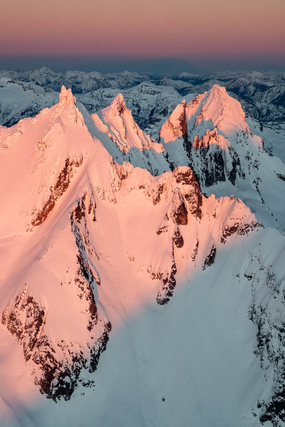
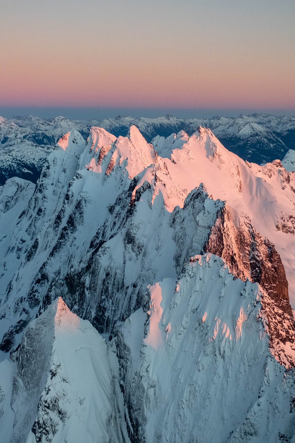
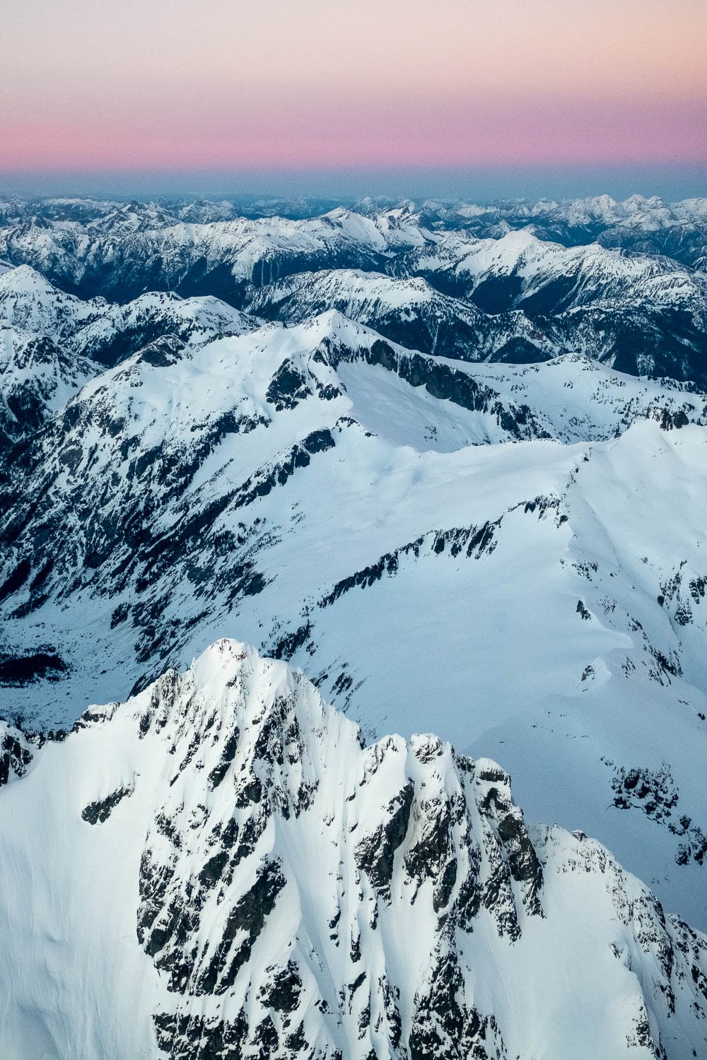
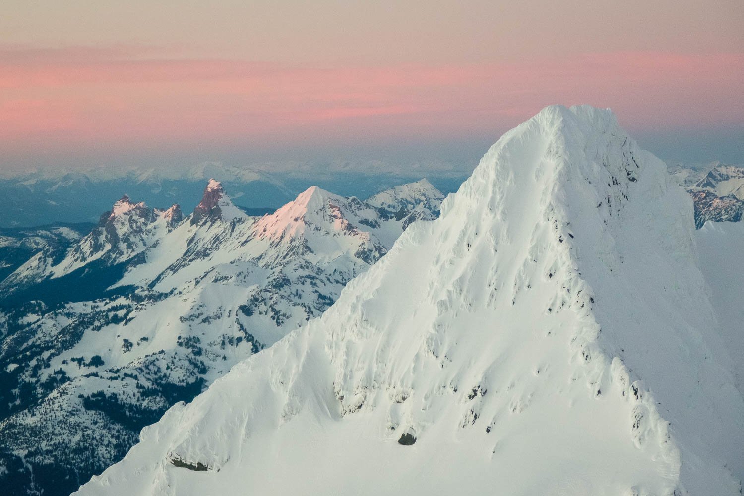
Trip Report: Backpacking in Michigan's Pictured Rocks Lakeshore

Last weekend, on my way to attend the ICWSM conference in Buffalo, I spent two days hanging out with my good friend Serena and exploring some of Michigan’s Upper Peninsula. The UP is dramatically different from the Lower Peninsula, with almost 1/3 of Michigan’s land area but only 3% of the state population. We had a grand time seeing the sights at the Straits of Mackinac, camping at Tahquamenon Falls, and backpacking in the Pictured Rocks Lakeshore.

The Mackinac Bridge at sunset from McGulpin Point, on the Lower Peninsula.

Day 1: After an unpleasantly early flight from Seattle to Detroit, I met Serena in Flint and we drove up to Mackinaw and strolled around the cute town before heading over to McGulpin Point to enjoy the sunset with lovely views of the Mackinac Suspension Bridge. Afterwards, we hung out in town for a bit longer before driving to our campsite at Tahquamenon Falls and getting to sleep pretty late.

The Lower Falls on the Tahguamenon River.

Day 2: While Serena slumbered, I got up unpleasantly early and drove back to the mouth of the Tahquamenon River to watch the sunrise over Lake Huron, which was pleasant but not too photographically productive. I probably would have been better off staying at the falls, which I returned to after not too long. Serena was still asleep so I explored the Lower Falls on my own, enjoying the boardwalk out to an island in the middle of the river, which is brown with tannins, earning the place the nickname “Root Beer Falls.” Back at camp, Serena was still asleep, so I pulled out my laptop and worked on my talk, hiding in the car from the heinous mosquitoes. After Serena got up, we went back and repeated my stroll around the Lower Falls.

Munising Falls.

We headed up to the Upper Falls, a larger cascade, and enjoyed the view there before heading to the town of Munising, an hour and a half away, and stopping at a few more waterfalls as the weather gradually became overcast. In town, we got lunch and grabbed some groceries for our backpacking trip in the Pictured Rocks National Lakeshore. Pictured Rocks is an especially stunning part of the southern shoreline of Lake Superior, with many miles of 100-300 foot tall sandstone cliffs that drop straight into the lake, punctuated by occasional beaches, coves, and natural arches. Much of the lakeshore is accessible only by foot or boat, giving it more of a wilderness feel, and there are stunning trails that run along the the top of the cliffs with great views.

Serena in the pleasant (but Mosquito infested) forest near the lakeshore.

We set out from the Miner’s Beach trailhead at around 17:00 and hiked to Mosquito Creek, enjoying waterfalls, pleasant forest (with more mosquitoes) and overlooks out above the lake. We found a campsite at Mosquito Creek and dropped our overnight gear, then headed out for a sunset loop to Chapel Lake, Falls, and Rock, coming back via the lakeshore trail and Grand Portal Point. The inland trail through the woods was quite muddy in places, but we had a great time checking out Chapel Falls, and soon enough we were back at the beach at Chapel Rock, a tower that used to be connected to the mainland by an arch which collapsed sometime in the past half century, leaving an improbably placed pine root as the only object to bridge the 20 foot gap between the rock and the rest of the seashore.

Chapel Rock above Lake Superior. The root at the right used to be supported by a natural rock arch, which collapsed some number of decades ago, leaving just the root.

The beach below Castle Rock has a lovely waterfall which spills out of the woods straight onto the beach, and we had dinner there before hurrying onwards as sunset was only 20 minutes away. Just as I hoped, the sun dropped out below the clouds and we were rewarded with beautiful light and even a brief rainbow as we climbed up to the clifftops at the west end of the beach and looked back.

Chapel Creek spilling out of the forest and straight into Lake Superior. Note Chapel Rock (and arch) at the upper left.

As we made our way along the lakeshore we had a magical time exploring hidden coves and stunning views from the clifftops of points and arches as the light faded from the clouds. Eventually we pulled out our headlamps and hiked back to camp to sleep.

Chapel Beach and distant cliffs below a brief rainbow at sunset.

A hidden cove near Chapel Beach

Serena and I with Grand Portal Point behind.

Grand Portal Point at dusk.

Day 3: Serena and I both got up as it started to get light, and walked over to the beach to enjoy the sunrise. It had cleared up almost completely overnight and was a beautiful sunny morning. We walked east along the beach before hiking up into the woods and following the trail along the clifftops to scamper out on to Lover’s Leap, a dramatic arch that juts into Lake Superior - very cool, even if backlit in the morning.

Morning light on the cliffs from Mosquito Beach.

Creeping Dogwood and Birch in the forest.

Lover’s Leap in the morning light.

We headed back to camp and packed up, then strolled back to the car, stopping to bushwhack the short distance over to Bridalveil Falls, which pours over slabby cliffs straight into the lake. Neat.

Bridalveil Falls. Spot the Gull!

Bridalveil Falls pouring straight into Lake Superior.

We got back to the car around 9:30 and drove over to Miner's Castle, where we noticed that a fogbank had slid over the lake and was blanketing the shore where we had just been. We retraced our steps to the beach and had fun exploring the beach in the fog.

Miner’s Beach and waterfall in the fog.

After we’d had our fill, we went back to the car and drove east, stopping for lunch, then headed into Grand Marais, where we had fun walking along the breakwater and climbing on the lighthouse. A brief stop at the Pickle Barrel House finished up our trip, and we headed back over the Mackinac Bridge to the Lower Peninsula. I said goodbye to Serena in Flint, and headed across the border into Ontario for a brief stop at Niagara Falls before continuing to Buffalo for ICWSM.

Serena at the lighthouse at Grand Marais.

Trip Report: Travel in Japan to Oze and Nikko National Parks

Last week I was lucky to be able to spend five days in Japan on my way back from TheWebConf in Singapore. I had an amazing time traveling by myself around Tokyo and two nearby National Parks: Oze, and Nikko. It was my first time visiting Japan, and what an amazing country! I was incredibly lucky with the weather, with sunny skies and nice sunsets for the two days I spent camping in Oze, and then overcast weather for photographing waterfalls in Nikko, and just a tasteful amount of rain! Overall, I felt my trip had a nice balance of time spent in the wilderness and more rural areas, as well as city time. There was also a mixture of more (foreign) touristy places in Nikko, and some spots that didn’t have as many international travelers in Nikko - thank goodness for Google Translate! Looking back, the only thing I’d chance is that I spent a good chunk of the day traveling on two busses and three trains to get between Oze and Nikko when they’re only a dozen or so miles apart as the crow flies. It would be really cool the hike between them, instead, or after June 1 you can take a bus.
Feel free to just skim through for the photos, or you can read in more detail for notes on what I did!

Buildings reflected in the Outer Gardens of the Imperial Palace at dusk on my first night in Tokyo.

Day 1: I got up early in Singapore to fly to Tokyo. Although I definitely wouldn’t have guessed this before I arrived there, the distance between Singapore and Tokyo is only a little shorter than the distance between Tokyo and Seattle, so despite my early flight, it took most of the day to reach Tokyo proper. I caught the train from Narita into the city and popped out in Tokyo station, where I stood for a moment in awe of the bustle around me. Roughly half a million people pass through Tokyo station every day, making it twice as busy as Atlanta International Airport, the busiest airport in the world - and Tokyo station isn’t even the busiest train station in Tokyo! I exited the station and walked west towards the Imperial Palace, enjoying a lovely sunset, before taking local trains to my hotel near Ryogoku Station. I stopped by 7-11 to get a bunch of snacks for my hiking trip the next day, and with some help from Google Translate, worked up the courage to order dinner at a restaurant before packing up and going to sleep.

Day 2: The early sunrise woke me up, but I had a pleasant morning. It took me a little while to figure out how to use the lockers at the train station to leave my suitcase, but I made my 8am Shinkansen to Jomo-kogen with 5 mins to spare. It was a beautiful morning for zipping through the city and out into the countryside at 150 mph as I headed to Oze National Park. I caught my bus up into the mountains, and then transferred to a smaller bus up to Hatomachi Toge trailhead (toge means pass). Once again, Google Translate was very helpful for figuring out where to go for various busses, as were all the friendly hikers - thanks to the gentleman who helped me use the ticket machine! On the smaller bus, we rolled up a windy road, going back in time as the forest became less leafed out the higher we climbed. A bit past noon I finally reached the trailhead, and had a nice picnic lunch before hiking into the park.

Hikers on the boardwalks through Ozegahara Marsh, with Mount Hiuchi in the background. I climbed Hiuchi for sunrise the next morning.

As I descended the wide trail towards Yamanohana, a constant stream of elderly hikers were coming uphill the opposite direction, all of them absolutely gassed, and stopping to catch their breath. I wondered a bit what I was getting myself into. Everyone was very friendly, with an equally constant stream of "konnichiwa!". After a mile or two, I reached the open meadows that Oze is famous for. I headed out onto the boarwalks, an impressively engineered system with two lanes for different directions of walkers to pass one another. Four continuous miles of boardwalk brought me to Miharashi, at the base of Mount Hiuchi, my objective for the next morning. The boardwalks were teaming with people, and the white “flowers” (actually a spathe) of Asian skunk cabbage were beautiful with the mountains in the distance. There were lots of little ponds and marshes and streams to keep things interesting. At 14:00 I arrived at the mountain “huts” at Miharashi, which really feels like a small village, with many two and three story buildings, and lots of people hanging out and enjoying the sunshine. I found a nice campsite, and I explored the vicinity and hung out and took a break for an hour before heading out to take photos at sunset.

Mountain “huts” at Miharashi, on the slopes of Mount Hiuchi.

About 3 hours before sunset I headed back out, heading north on the boardwalks in order to make a loop. I made an out and back detour towards Sanjo Falls, and re-entering the forest after hours in the meadows and marshes, I was thrilled by how different it felt from forests I am familiar with - a mixture of bamboo, cedars, birches, and some blooming rhododendrons. I passed by Hiraname Falls, which were were beautiful, but hard to get a good look at, and I continued down the trail through more lovely forest with blooming flowers to Sanjo Falls. To reach the viewing platform, I walked across an enchanted narrow catwalk perched across the crest of a steep ridge - very cool. The falls themselves were stunning, an order of magnitude larger than I expected, and I had the whole place to myself.
Sanjo Falls

I hurried back up the trail and past the buildings at Akatashiro and into the marsh just as the light was getting really nice. As I strolled past the next hut I passed through some lovely streams, forest, and bridges, and I had a wonderful time photographing the sunset reflected in some little ponds. The sky lit up as I walked back towards Ryugu Junction to complete my loop, and as the light faded I enjoyed walking back along the boardwalk to camp, listening to the frogs in the marsh and hungry birds feeding overhead.

Mount Shibutsu and ponds in Ozegahara at sunset.

Asian Skunk Cabbage surrounds a boardwalk in Ozegahara Marsh.

A hut and Mount Hiuchi at dusk.

Day 3: I got up after my alarm went off at an ungodly hour and packed up quietly to head up Mount Hiuchi for sunrise, leaving camp at 2:30 am. It was pleasant enough hiking in the dark through the forest, although the upper third of the trail still had patchy snow in parts. I popped out above treeline 200 m below the summit just as it was starting to get light, and hiking through the alpine zone was super cool. I was fascinated by the different vegetation, with krumholzty bamboo, rhododendron, and carpets of pine. Sunrise was unfortunately subdued by some overcast, but the views from the summit were still stunning, and there were some nice wisps of fog back down in Ozegahara marsh. Once again, I also had the whole place to myself, with not a soul for miles. I enjoyed the view and had some 7-11 onirigi for breakfast, then descended a little bit before 5:30, dropping down some steep snow to climb back up to the East Summit. I took the eastern of the two trails leading down to Lake Ozenuma, which follows a really delightful ridge that felt quite different from the way I came up, with bamboo and twisted birch. After not too long, the trail descended into the forest, and I popped out on the lakeshore trail around 7:15. I dropped my pack at the trail junction and headed 5 minutes around the lake to the visitor center area to check out the scene. The visitor center is beautiful and brand new, and had exhibits in English which was nice.

Fog on the surface of Ozegahara Marsh at sunrise.

I went back and retrieved my pack and then continued my almost-circumnavigation around Lake Ozenuma counterclockwise. The lakeshore was pleasant and varied, and at the far side I left the lake and climbed a little bit up before descending on steep switchbacks through pleasant beech forest. I followed the trail down to the bottom of the valley, paralleling a creek with some lovely waterfalls, then finally down the dirt road to Oshimizu just past 10:30. The whole hike out was very pretty, with lots of fresh greenery all around. I came out earlier than I originally planned in order to catch an earlier bus so I could stop at Fukiware Falls before my train(s) to Nikko. I caught my bus without trouble, and the road down the valley back to Oze Takura was really spectacular, such a steep valley.

Lake Ozenuma from the summit of Mount Hiuchi.

Fukiware Falls

Fukiware Falls was exquisite, and even though you can't get that close to the lip of the falls, I easily could have spent more than my 40 minute bus break there. Alas, I got back on the bus to Jomo-kogen Station, where, to my entertainment, two station agents spent 20 minutes unsuccessfully trying to help me figure out how to retrieve my reserved seat ticket. Eventually, upon giving up, one of them simply told me in broken English to sit in my seat on the train anyways "and if there is trouble tell them we tried." Three trains later I arrived in Nikko, where I found hordes of American tourists, the first I'd seen all trip. I managed to be the last person to purchase a bus pass before the ticket office closed, and I caught the bus up towards Kegon Falls. The road was gorgeous, passing a large (metal foundry?) that looked wild when contrasted with the steep cliffs and lush forest. The many tight switchbacks on the road up to Lake Chuzenji were impressive as well. The little town at Chuzenji Onsen was cute, with Mount Nantai looming over it, and the lake is gorgeous as well. The town was very sleepy on a cloudy Sunday night. I walked over to Kegon Falls, somehow having the whole place myself. This was nice because I could pull out my tripod, even though there's a sign that says no tripods. The falls weren't flowing from the upper tier (diverted for hydropower?) but are still absolutely stunning, truly jaw dropping. After I had had my fill, I strolled back up to the bus stop as it started getting dark, and caught the last bus west to my hotel near Ryuzu Falls, where I passed out early.

Kegon Falls detail

Day 4: after many hours of much appreciated sleep, I woke up to the pleasant sound of rain in the forest outside my open window. I had a relaxing morning waiting for the rain to stop, exploring the hotel and catching up with folks back at home. At 10:00, just as forecast, the rain stopped and I headed out to walk towards Ryuzu Falls. The stroll along the shore of Lake Chuzenji was pleasant, and after a short stint of walking along the highway, I reached the falls, which were just delightful, a slabby cascade with purple flowers in the woods and a nice path. Upstream of the falls, the trail along the Yukawa River was lovely and much less trafficked, so I could scamper down to the riverbank to take pictures of the many small falls. The trail passed through beautiful open forest carpeted with bamboo, once again very different from other places I had been. Closer to Senjogahara Marsh, I passed a number of large groups of school-age children who enjoyed cheerfully shouting "hello!" as they had all clearly pegged me as an American. Eventually I reached Yudaki Falls, which was also stunning, a long sloping waterfall that splits into two cascades at the bottom. A courteous passing cloud softened the light so I could snap some photos without too much glare. I climbed the many steps next to the falls to reach Lakes Yunoko, noticing the sulphurous smell of hot springs. From the pleasant lakeshore I could see the highway up to the tunnel under Konsei Pass, and was only 8 our so miles as the crow flies from where I had been hiking in Oze the day prior. I walked around the lake to Yumoto, which felt almost deserted. The hot springs were cool, but there wasn't too much to see, and I wished there was a bit more signage so I could understand what I was looking at: small huts low to the ground that seem to be full of bubbling sulfur water. I walked over to the closed ski area, but there also wasn't much to see, so I caught the bus back to my hotel to retrieve the overnight gear I left there. When I got back to Lake Chuzenji, I was delighted to find clouds spilling down from Mount Nantai and flowing across the surface of the lake, so I stopped to photograph a few fishermen on the shore.

Flowers in the woods next to Yudaki Falls.

Hot springs at Yumoto Onsen

After getting my stuff, I took the next bus back to Kegon Falls. Getting off the bus, I was thrilled to find the town enveloped in fog, and I walked around the pier, photographing duck-shaped boats on the shore - a surreal scene. I strolled back over to Kegon Falls viewpoint and was very entertained to see the entire basin totally full of fog, with absolutely no view. Glad I had came the night before! Several other tourists chuckled right alongside me. Yet as they walked away, it seemed to be clearing up, so I paid my 500 yen to take the elevator down 100 meters into the valley. Despite the warnings of the woman at the ticket counter, who pointed to a sign saying "no view due to fog," it was totally awesome. Although it was quite backlit (morning would be better) the view was stunning, and the position of the viewpoint is amazing, with waterfalls on all sides. The fog swirled back in as I walked back to the bus stop to head down to Nikko. Once again, the switchbacks on the road are phenomenal, although it's a shame there's no place to get off and look at them (at least by bus).

Duck boats in the fog on the shore of Lake Chuzenji.

Nikko’s shrines and temples are set in a lush cedar forest.

Nikko is famous for its shrines, which are a world heritage site. I got off the bus at the west end of the shrines area, and walked up into a beautiful grove of mossy cedars. The temples and shrines were far more amazing than I was expecting, in part because of the beautiful ancient architecture, and in part because of the stunning setting in a lush cedar forest. I had perfectly moody weather for it too, cloudy and almost misty. By the time I got there around 16:30 the interiors of many temples were closed to entry, although I got to poke into a few, but there was still plenty to see walking around outdoors. I easily could have spent way longer there. I slowly wandered east, through the wonderfully mossy and maze-like streets of town. Once in the newer part of town across the river, I explored a the old city hall park and cemetary before finding some dinner (and sake). I caught the next train to Utsonomiya, and transferred to the Shinkansen to make my way to Tokyo and my hotel, where I promptly passed out early again.

Nikko shrines.

Throngs of tourists at Senso-Ji.

Day 5: I got up quite early to photograph the sunrise from the top floor of my hotel, but unfortunately the top floor didn't have anywhere you could access the view! Thankfully, there wasn't that much of a sunrise anyways. I packed up and headed out not long after, then dropped my suitcase off in the lockers at Tokyo Station and made my way up to Ueno Park. I strolled around the park, full of joggers in the early morning, then wandered through the streets towards Senso-Ji, enjoying taking photos along the way. Senso-Ji was beautiful but mobbed with tourists, so I headed over to the river and walked down the trail on the eastern banks, delightfully shaded by the expressway overhead. I enjoyed dabbling at some street photography attempts as I took the subway to Fujifilm’s global headquarters - my Tokyo pilgrimage. There’s a small art gallery there, and I enjoyed looking at the exhibits of prints and old cameras and film stocks before getting lunch. I strolled through the Outer Gardens of the Imperial Palace (hot in the sun) and did a little shopping at the Montbell store near Tokyo Station before catching my train to Narita and flying back home. A great trip!

Skyscrapers reflected in the lake at Ueno Park.

Gallery: Springtime Mountain Biking with Blooming Balsamroot

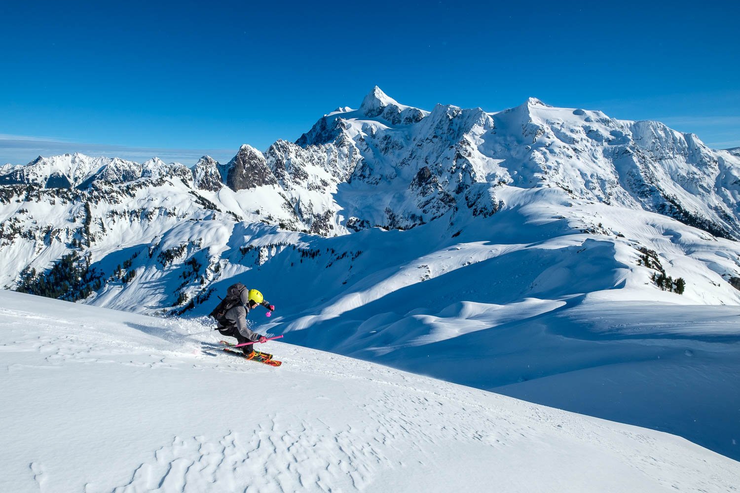
Becca and I spent a number of weekends in Leavenworth last month, where the spring Balsamroot bloom seemed extra special this year. We did a lot of different activities: climbing, skiing, mountain biking, and paragliding. The east side of the Cascades is a beautiful place for all of these activities (and more!), but for me, there’s something extra special about zipping through a forest carpeted with flowers, or rolling down an exposed ridge with steep dropoffs on either side. I brought my camera along for a few rides so I could snap some pics. Thanks to Adam, Dunlin, Conner, and Matt for being patient with me on the climbs. Let me know what you think!

Gallery: Third Beach Overnight

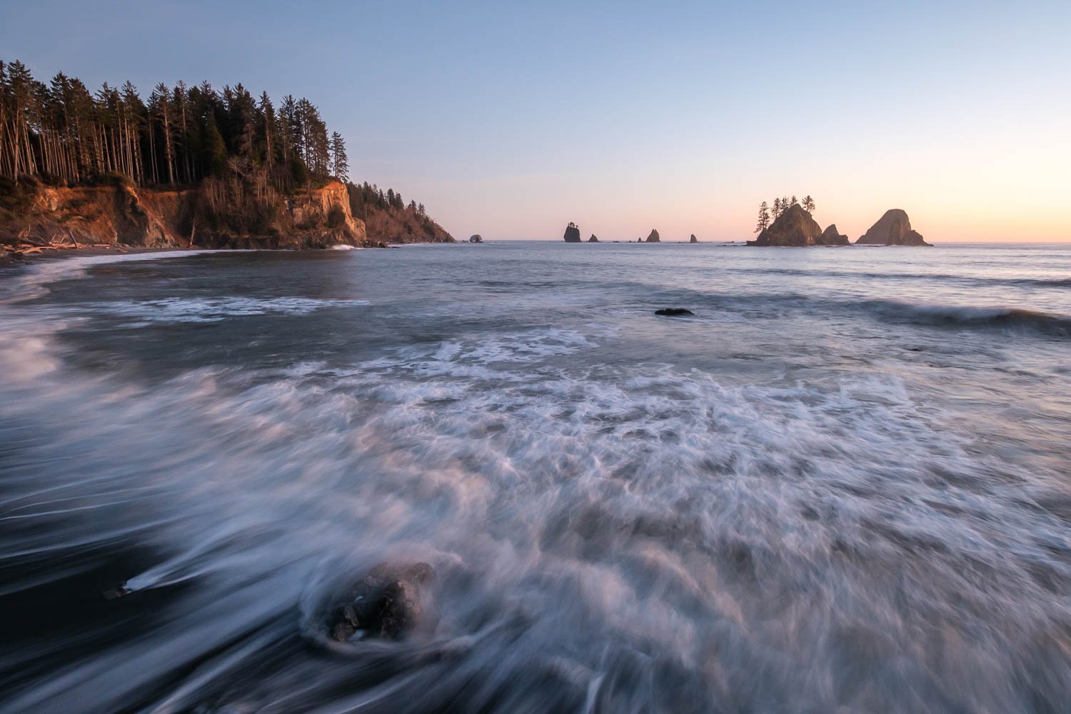
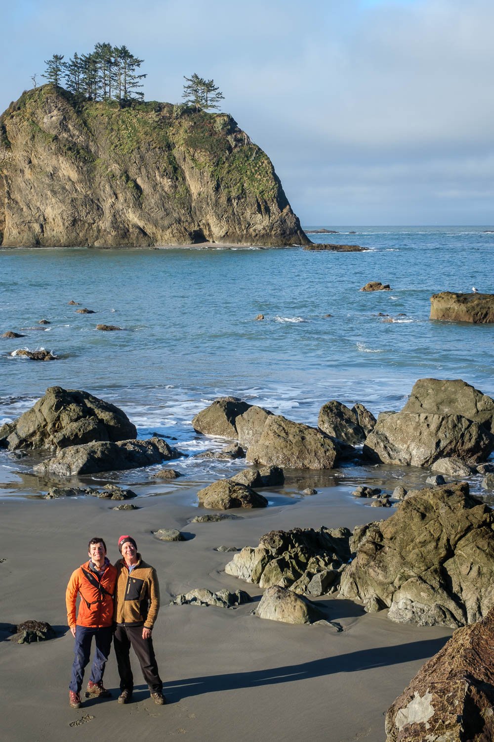
Back in March, I went on a very lovely low key overnight with Dad in the Olympics. We headed down to Third Beach and hiked a short distance south before camping in solitude and enjoying a lovely sunset. Pics below!

Trip Report: Ruby Mountain Overnight

A few weeks ago, I got out with Alex, a new friend of mine from UW, and we camped on the summit of Ruby, a peak I’d never been up before but had been on my list for a while. Ruby offers stunning views in all directions of most of the major summits of the North Cascades, and we had a great time lounging around and taking lots of photos.

Here are some of my favorites!

Trip Report: Tatoosh Traverse

A few weeks ago, in early February, Matt and Adam and I set out to ski a route that has always intrigued me: the Tatoosh Traverse, as described in Martin Volken’s guidebook. The Tatoosh offers beautiful views of Rainier, and I liked the idea of completing a traverse, crossing the crest of the range many times, and visiting some spots I hadn’t been to before.

We set out with gear for a three day trip, initially hoping to head all the way out past the Park boundary to Tatoosh Peak, but unfortunately, worse-than-anticipated weather had us abandon this idea, and downgrade to a single overnight. One of the draws of the Tatoosh Traverse is that has many options to shorten or lengthen the route by adding additional summits and/or exiting in different spots - while this is an excellent perk, to me it did end up making the route feel a bit more contrived and like less of a remote experience. Still glad to have done it, though!

Matt and Adam demonstrating proper alpine layering systems at Snow Lake.

We left Matt's car in Longmire after getting permits, and headed up to Narada Falls. The drive up reminded us of the grim state of the snowpack, and the weather was overcast with some sprinkles. Leaving Narada Falls at 10:20, we followed the Stevens Canyon Road to the summer trailhead for the Bench, which took a bit over an hour. With lots of exposed alder there with some unpleasant brushy bullshit to get to the Bench proper. After a healthy dose of exposed creek crossing silliness, we made it up past Snow Lake and stopped for lunch at 12:45. At this point a squall came in, with poor visibility and properly accumulating snowfall, something that would be a theme for the rest of the day.

Matt and Adam skinning towards the Unicorn-West Unicorn Saddle.

Matt and Adam on the summit of West Unicorn. Not pictured: stunning views of Rainier right behind them!

We made slow progress climbing up some unpleasant refrozen avalanche debris, then easier going above the cliff bands to the saddle between Unicorn and West Unicorn just before 15:00. With the skiing on the far side looking like a whiteout and not too promising, we instead ditched packs and skis and booted up Unicorn, which had a short steep rocky section guarding easy booting to the summit - 20 mins from the saddle. Without any views, we dropped back down and then up West Unicorn, which had a bit more involved scrambling and a bit steeper snow, reaching the summit as it was snowing pretty hard. After descending back to the saddle, we found a gorgeous cool cave to pitch tents in - very nice to be sheltered as it had snowed a few inches and we were getting a bit soggy. It steadily got dark as we set up camp in the snow and whiteout, but after dinner the clouds dropped and stars came out - stunning. We walked back up to the saddle to look at Rainier - really gorgeous.

Our cozy camp, sheltered in a cave below West Unicorn.

The clouds dropped after dark, revealing Rainier and beautiful stars.

After a pleasant night of sleep, I woke up before sunrise and talked the boys into going back up Unicorn to enjoy the view. Stunning in all directions, with clouds in the Cowlitz valley to the south, lovely views of the Goat Rocks, Adams, Saint Helens, and of course, Rainier. The previous day’s snow had coated the trees, making for plenty of texture to catch the morning light.

Sunrise to the southeast, with stunning views of Adams, Saint Helens, and even Mount Hood! Note my footprints in the bottom right.

Morning light on Rainier from Unicorn Peak.

Foss Peak gets in on the sunrise action.

We leisurely packed up camp, and at 8:45 skied back down towards Foss Peak, then put skins on the climb up to the Foss-West Unicorn saddle. The climb up to the Pinnacle-Plummer saddle looked melted out and brushy, so we opted to stay high. We skinned up to below the summit of Foss, then made a descending skiing traverse to the saddle between Foss and The Castle, then made a rising skinning traverse below The Castle to the Pinnacle Plumber saddle, arriving there at 10:15. We skinned a bit further towards Plumber, then transitioned and dropped in towards Cliff Lake. It was a quick climb up to the Lane-Denman saddle, and an even quicker descent down to the small lakes on the far side. We stopped here to fill up water and have some food, then at 11:45 headed up towards Wahpenayo, skinning up to the southeast ridge without much trouble, then traversed, climbing up one more ridge before dropping our skis and scrambling a short distance to the summit at 12:45. All this sounds complex, but is quite straightforward and quick.

Adam and Matt skiing down towards the West Unicorn-Foss saddle after breaking camp.

Adam traversing the slopes of Foss Peak, with Rainier looming large in the distance.

Traversing the south-facing slopes of The Castle in the sun, while Unicorn (and our camp) remain shrouded in clouds behind us.

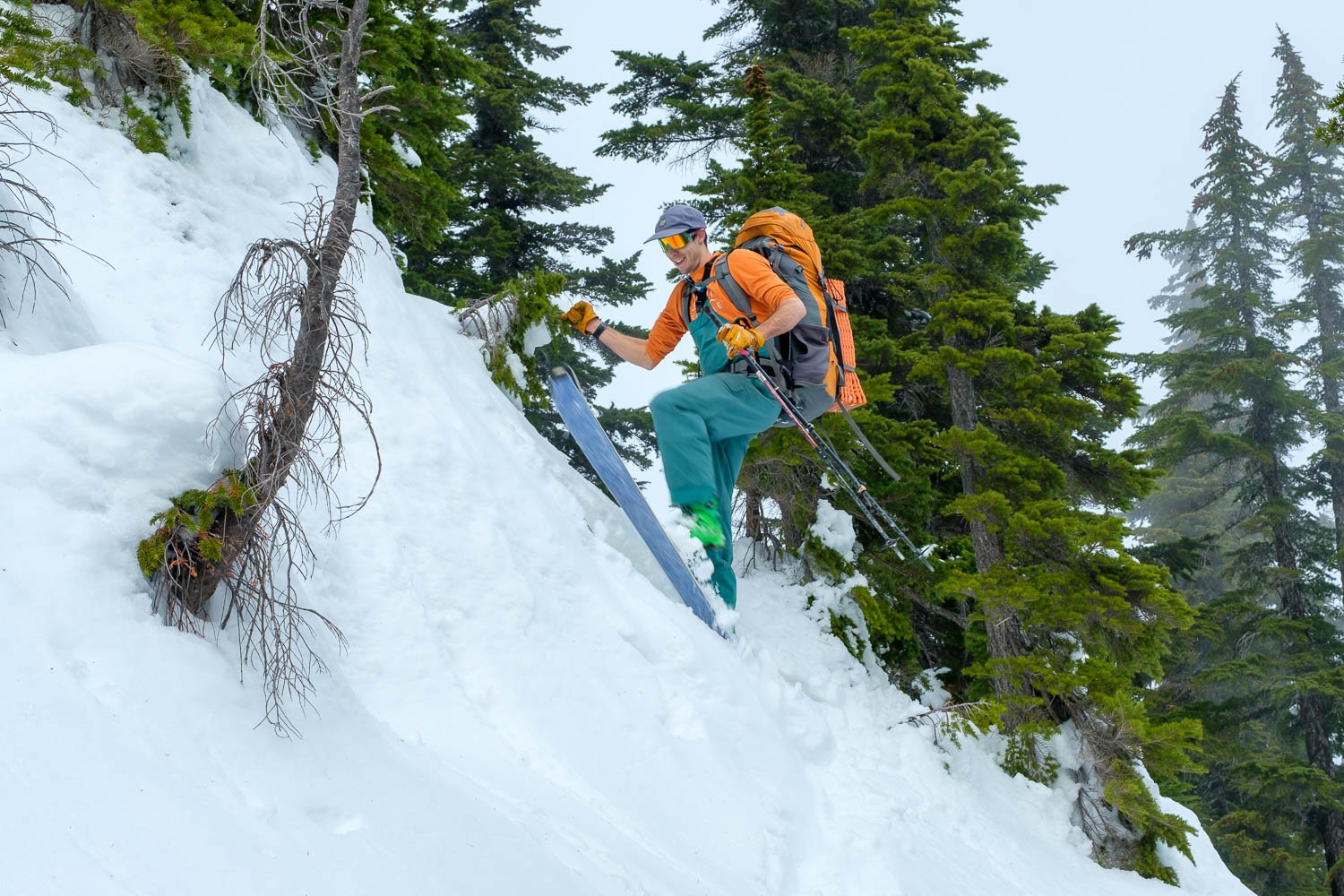
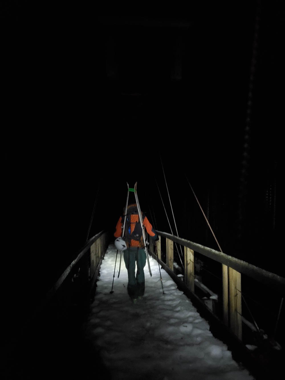
It was a quick descent and short climb up to the saddle between Wahpenayo and Chutla, which was quite windy! We started our final descent just before 13:30. After a short bowl, the forest skiing was really quite atrociously bad but very entertaining. We barely made it 15 minutes before starting to run out of snow, and ended up shuffling along bare sections of trail before finally giving up at around 4,000 ft. No snow at 4,000 ft! In February! We strapped skis to our packs, and headed down the trail and across the cool wooden suspension bridge over the Nisqually, arriving back to the car just after 14:30.

Matt making the most of minimal coverage on the Eagle Peak trail.

Adam squeezing every last bit out of the atrocious midwinter snowpack.

Best Photos of 2023

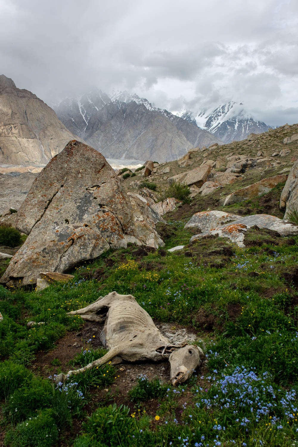
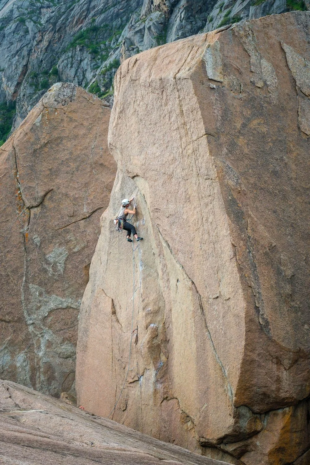
2023 was a truly amazing year, with so many things to be thankful for. Becca graduated with her PhD from UC Santa Barbara (congratulations!) and we both took the summer off to travel, with amazing trips to the Karakoram Mountains in Pakistan, Turkey, Sweden, the Lofoten Islands of Norway for rock climbing, and many more special destinations. We are so lucky to have been able to visit so many beautiful places. After an busy summer, Becca moved up to Seattle, and life together has been action-packed and wonderful. We had an amazing fall, savoring the beautiful foliage that seems to last forever in western Washington, as long as you pick the right terrain to look for it. Adam and I took a quick trip to southern Utah for our birthday with some great friends, and then we had an amazing start to the ski season, with a big storm followed by an unusual high pressure system keeping the North Cascades Highway open through Thanksgiving, making for easy access to some stunning mountains beginning to grow their winter coats.

Here are some my favorite images from the year!

Trip Report: Early Season Trappers Peak Jaunt

Yesterday I took advantage of the nice weather to head up to Trappers Peak for a solo sunset romp. I was able to make it all the way to the summer trailhead with only a little bit snowy driving with three or four inches of snow on the road at the TH. I saw one other car at the trailhead - thanks to them for clearing a bunch of trees off the road!

I started hiking a little before noon. There's currently only patchy snow on the old road grade. After following the trail to where it leaves the road bed at 3100 ft I caught the party of three, fully kitted with snowshoes, ropes, ice axes, and pickets. I booted, following the trail, through the very minimal snowpack to 4,000 feet, where I transitioned to skinning - a marginal 6 inches or so of snow on the ground. Once in the 4,300 foot basin, the snow depth improved somewhat, and I left the trail and just headed towards the ridge - maybe 3 feet of snow on the ground, all of it wet and heavy, with plenty of rain runnels. 

I got on the south ridge of Trappers at 5,100 feet, and, after booting a short steep snowless section at 5,300 feet, was able to skin all the way to the summit without much trouble. There was a nice breakable crust above ~5,000 feet, which made for easy skinning but unpleasant skiing. Pretty windy above tree line, and I reached the summit at 15:30 - stunning views. I hung out on the summit for sunset, then headed down a bit before 17:00, skiing by headlamp.

I ran into the other party, who had turned around at 5,300 feet, and were just finishing up a rappel - glad they got to use their ropes after all!

The skiing improved as I descended below the crust, and I enjoyed entertaining slush skiing as low as I could go, retrieving my boots most of the way down. I called it at around 3,700 feet, and hiked back to the car, arriving at 19:00. What a gorgeous evening!

Best Photos of 2022

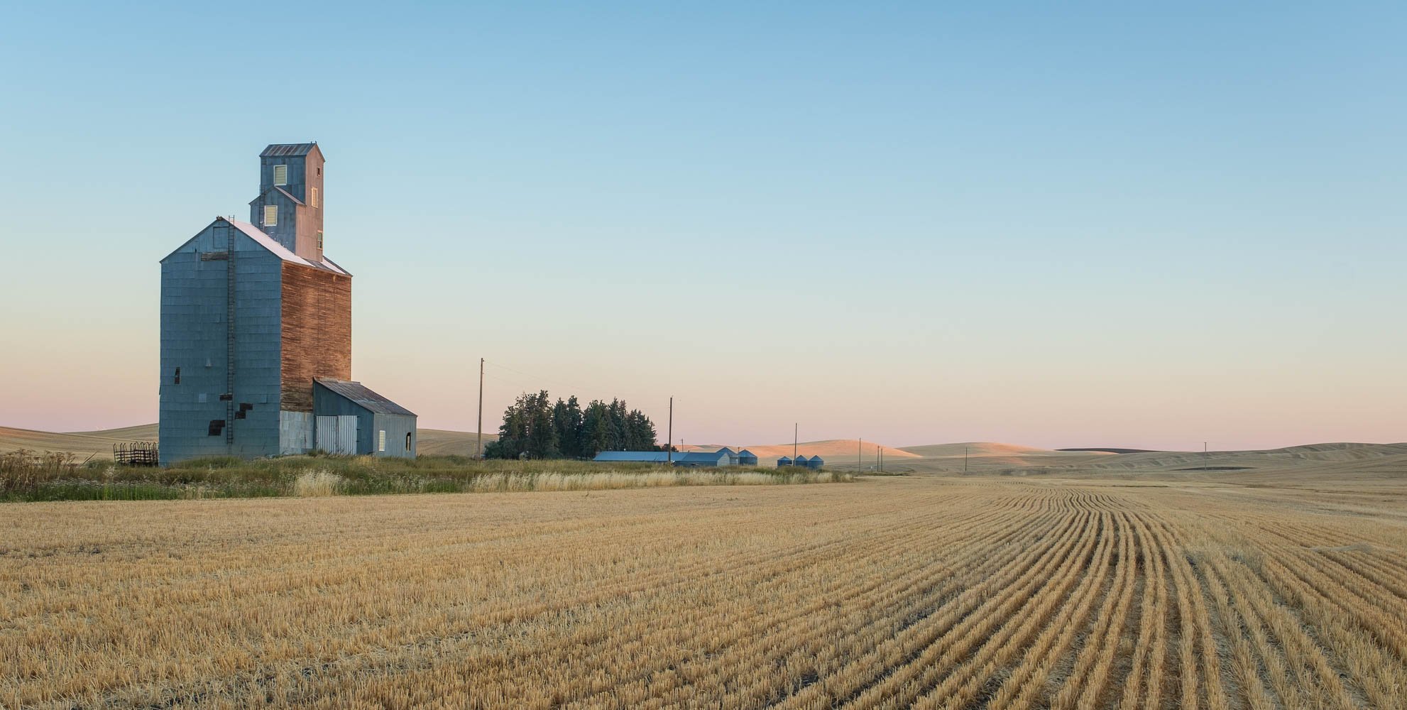
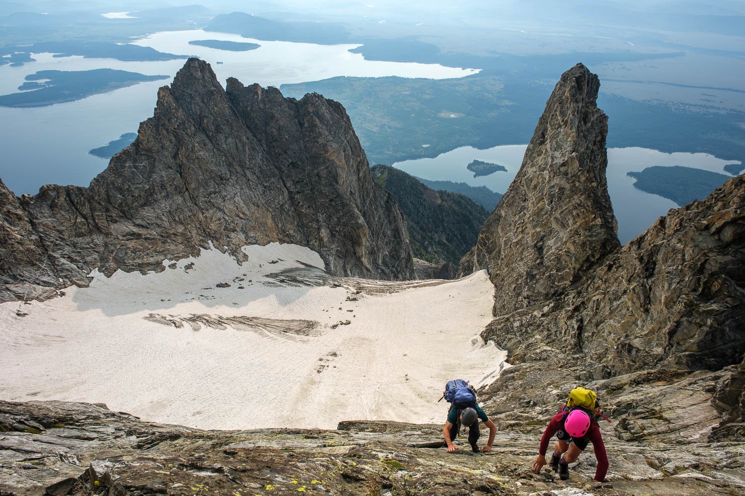
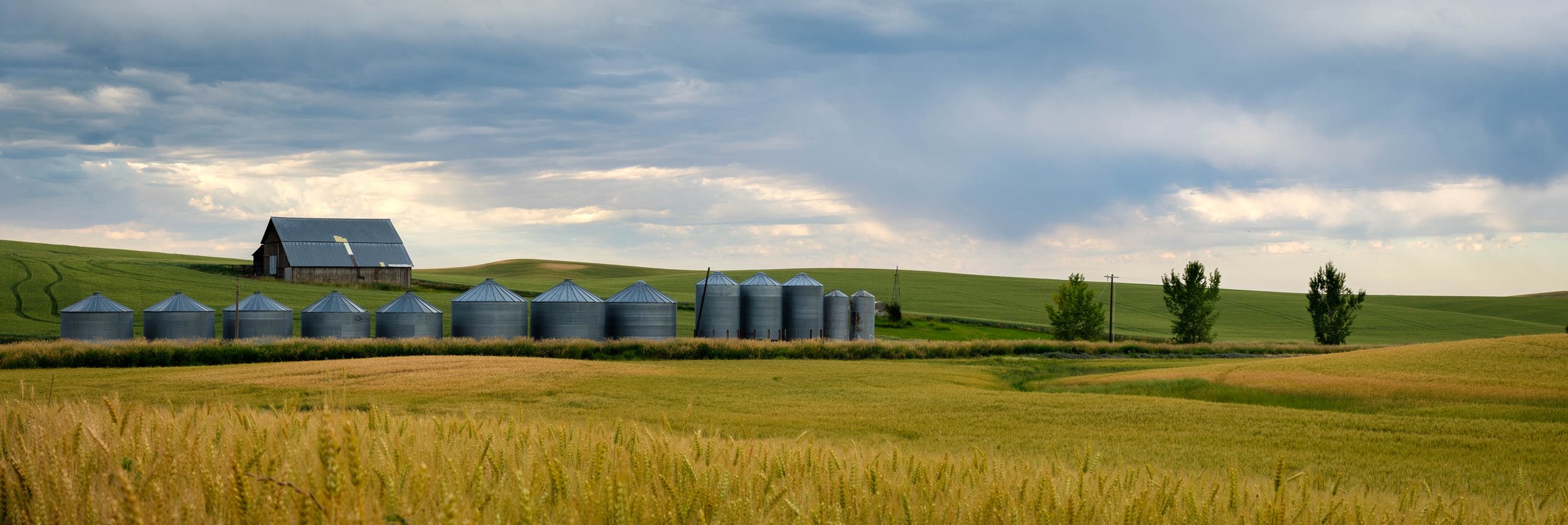
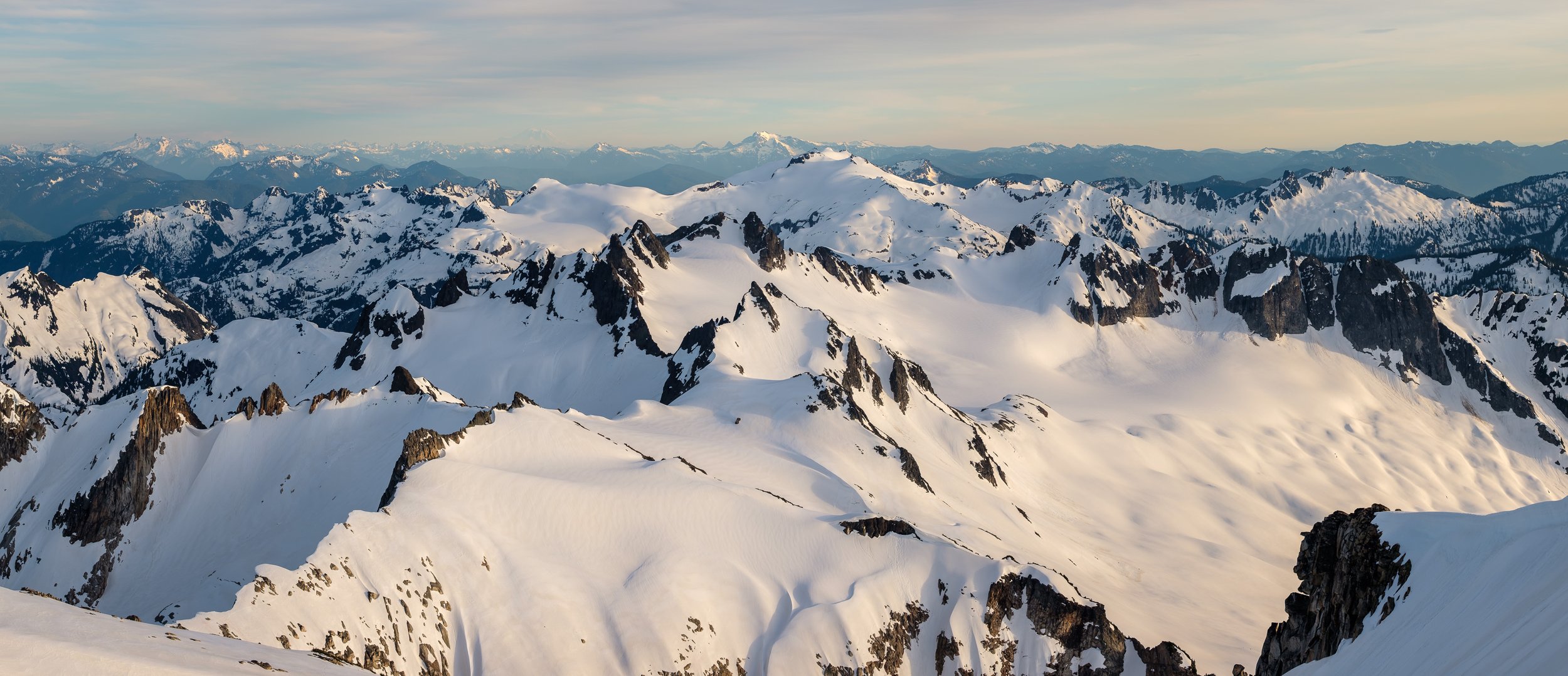
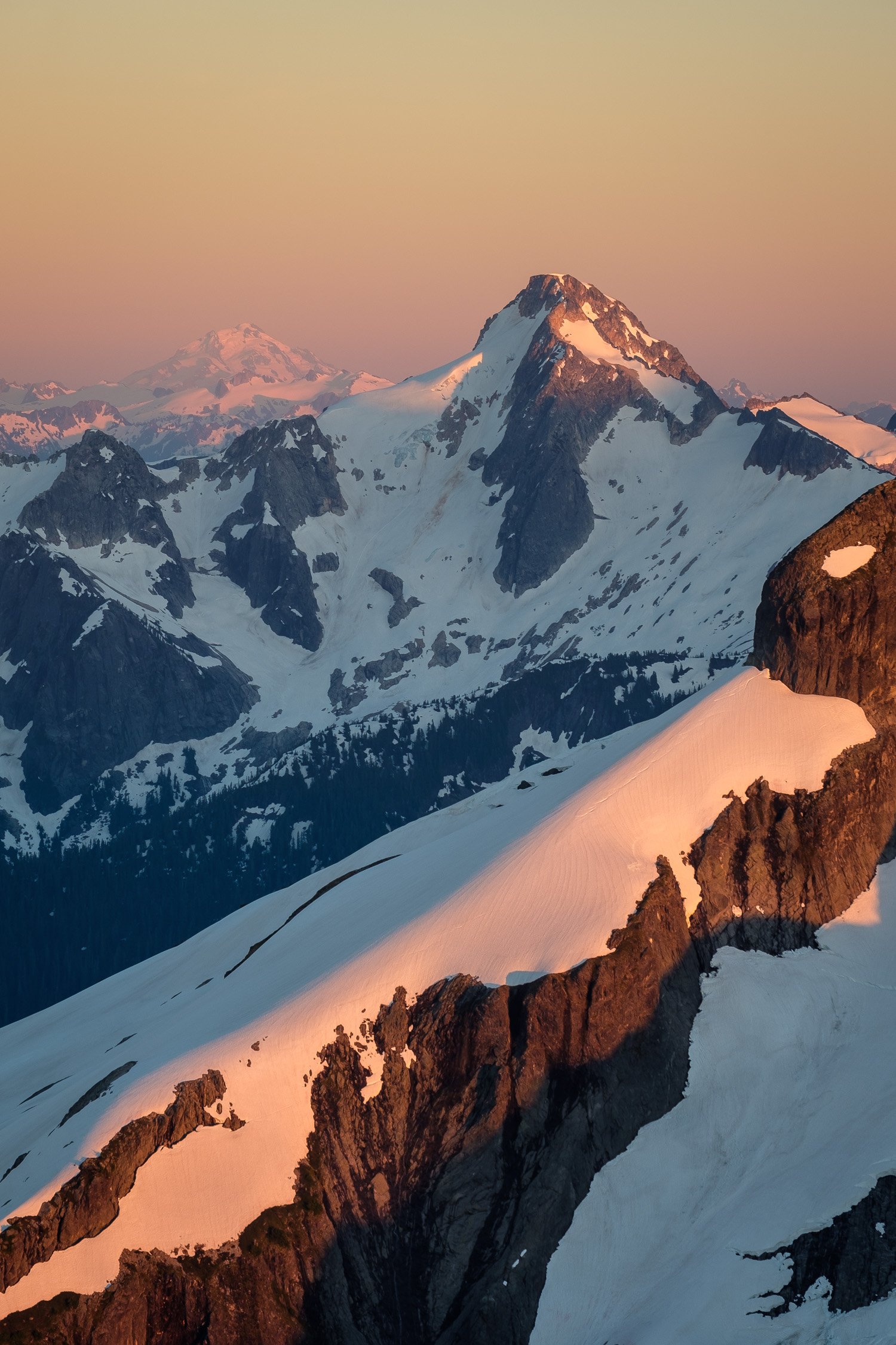
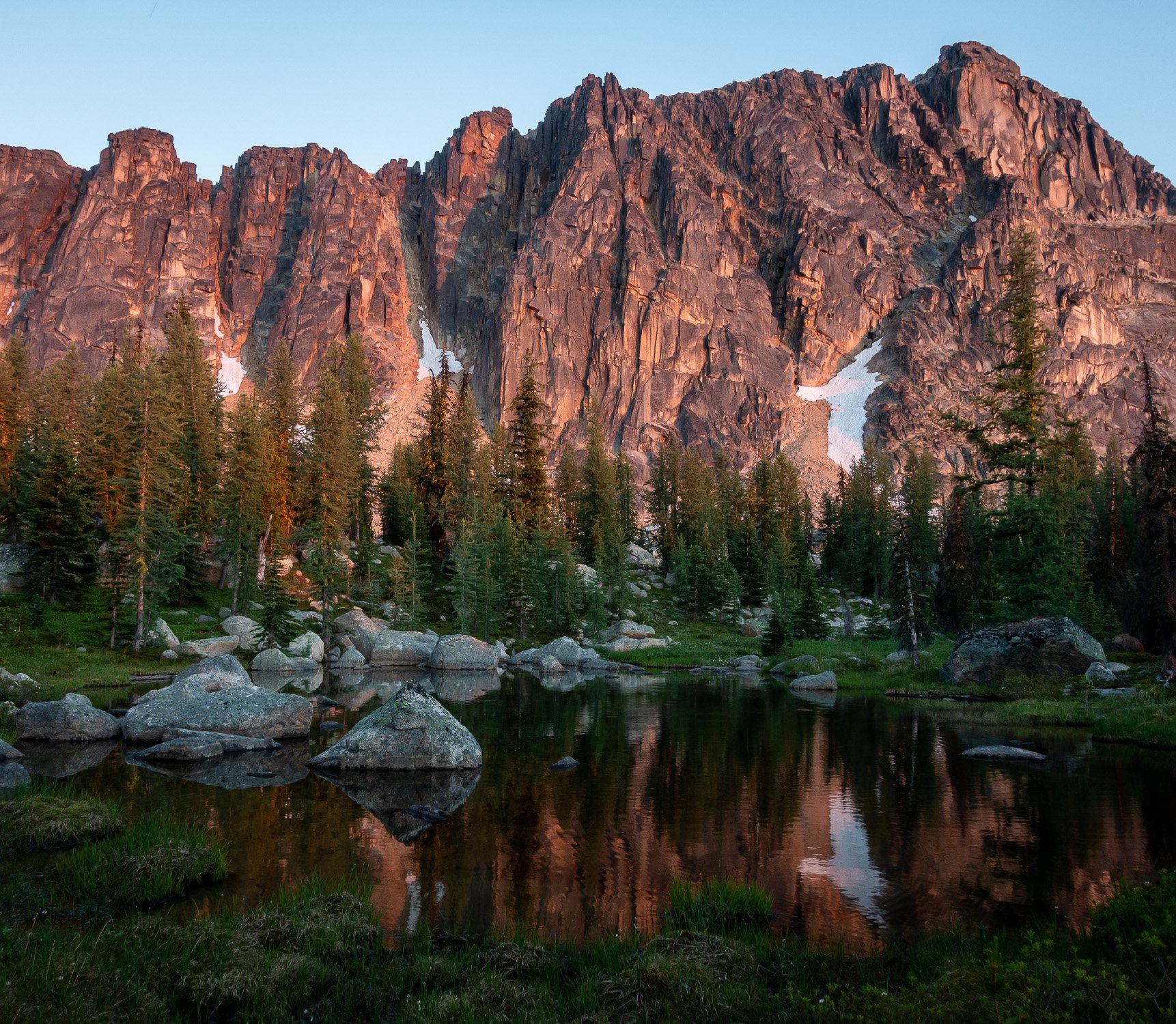
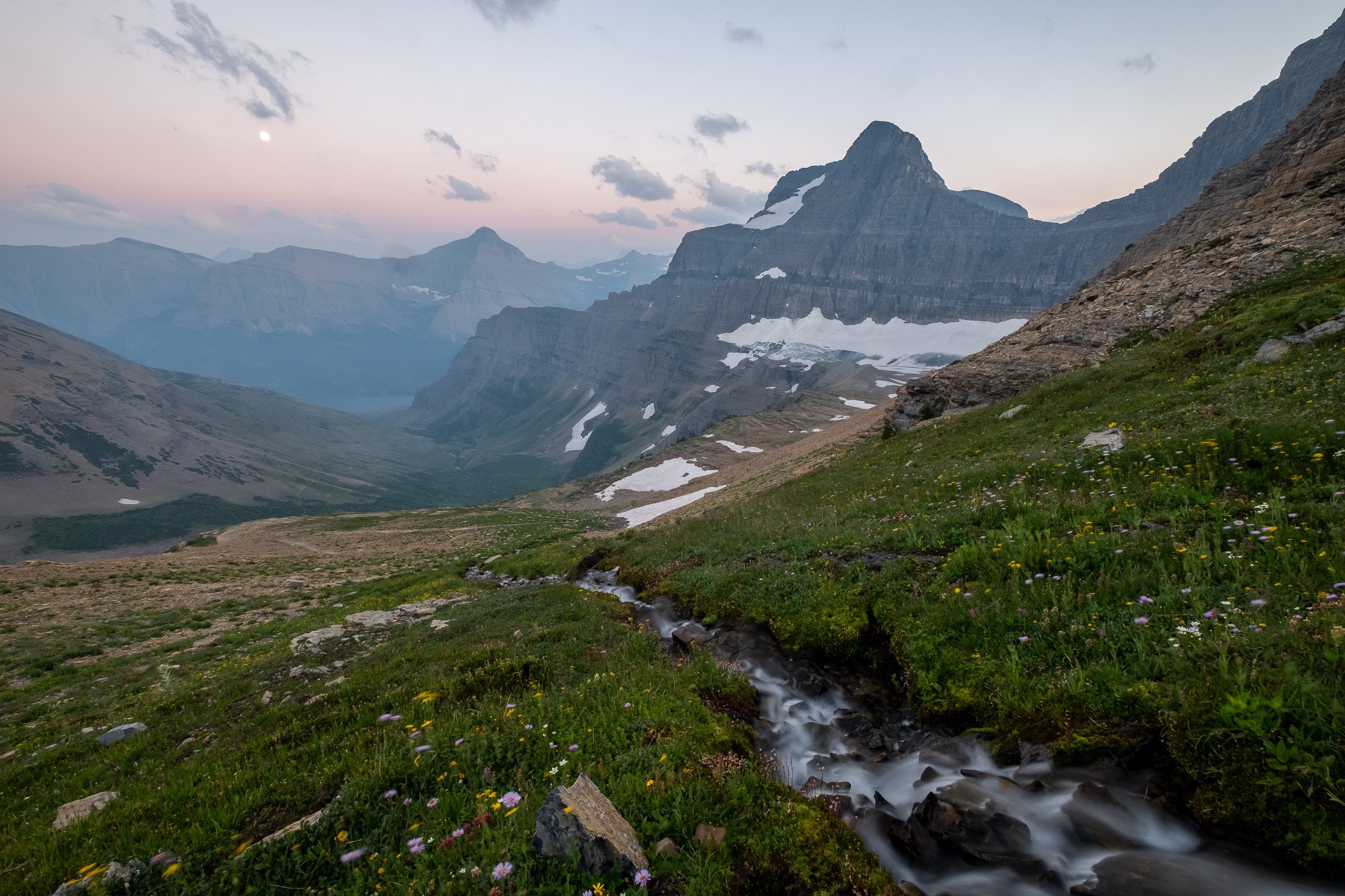
Another year down, and I feel super lucky to have gotten to travel to some incredibly beautiful places both close to home and more distant, as well as both some delightfully familiar places and some exciting new ones. 2022 started out with a fabulous ski season before a long, wet spring that kept some of my bigger ski mountaineering goals out of reach, with a notable exception of a ski descent off the summit of Rainier in May (although no photos from that trip made the cut for this album). Then, once the snow melted, I had a lovely summer, with highlights including another trip to visit the Vincents in the Tetons, with stops in the Palouse and Glacier on the way to and fro, plus trips to the Adirondacks and no shortage of Cascades shenanigans close to home. Adam and I got out for a great brothers’ trip via a less popular route into the heart of the southern unit of North Cascades National Park, and Alex visited from California to join on a great trip with the boys into the Southern Pickets via the more challenging approach of Stetattle ridge. As Fall came around, I got out for one last solo trip to climb Mounts Fisher and Arriva with a camp at Silent Lakes, a place Dad had inspired me to visit. I wrapped the year up with a trip back east for some Fall foliage, a trip to Oregon for Thanksgiving, and then started the ski season strong with an adventurous traverse with Matt through some new-to-me parts of the Alpine Lakes Wilderness.

Here are my favorite photos from the year!

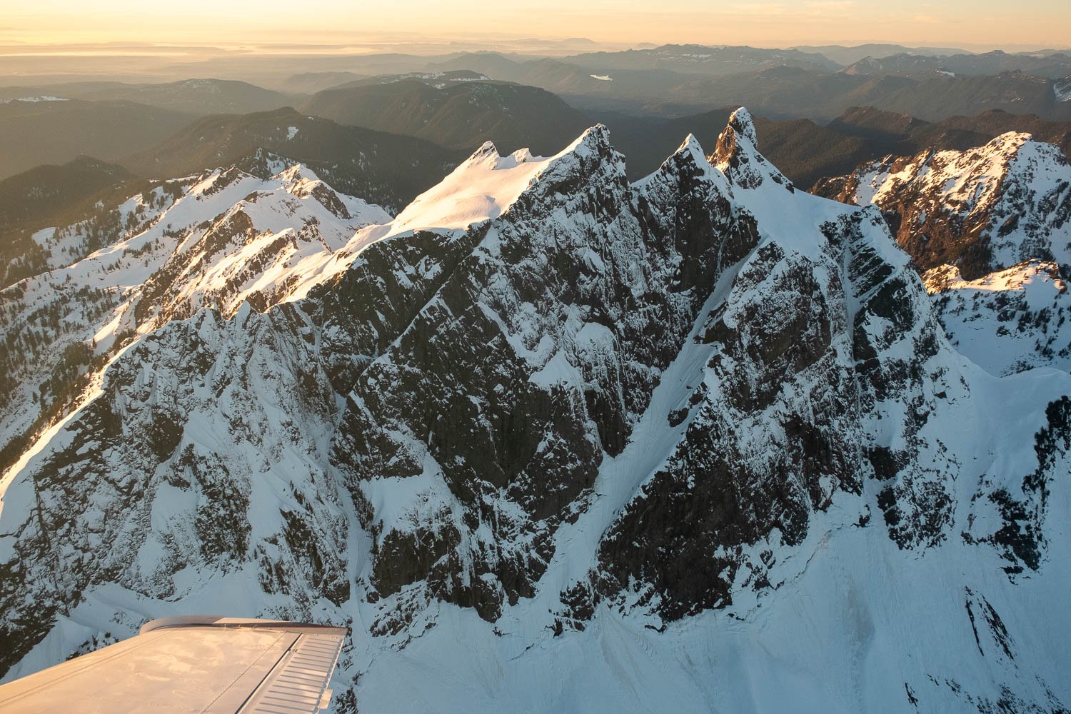
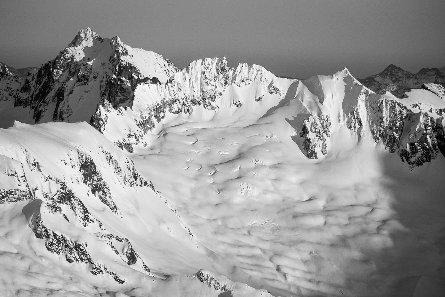
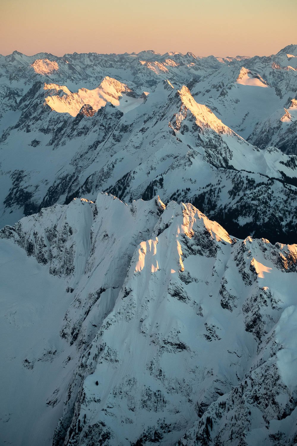
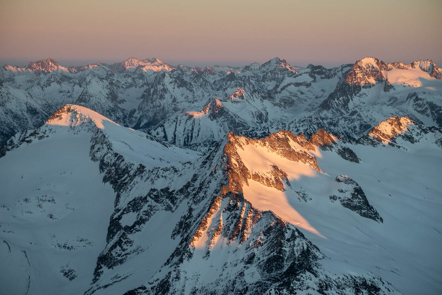
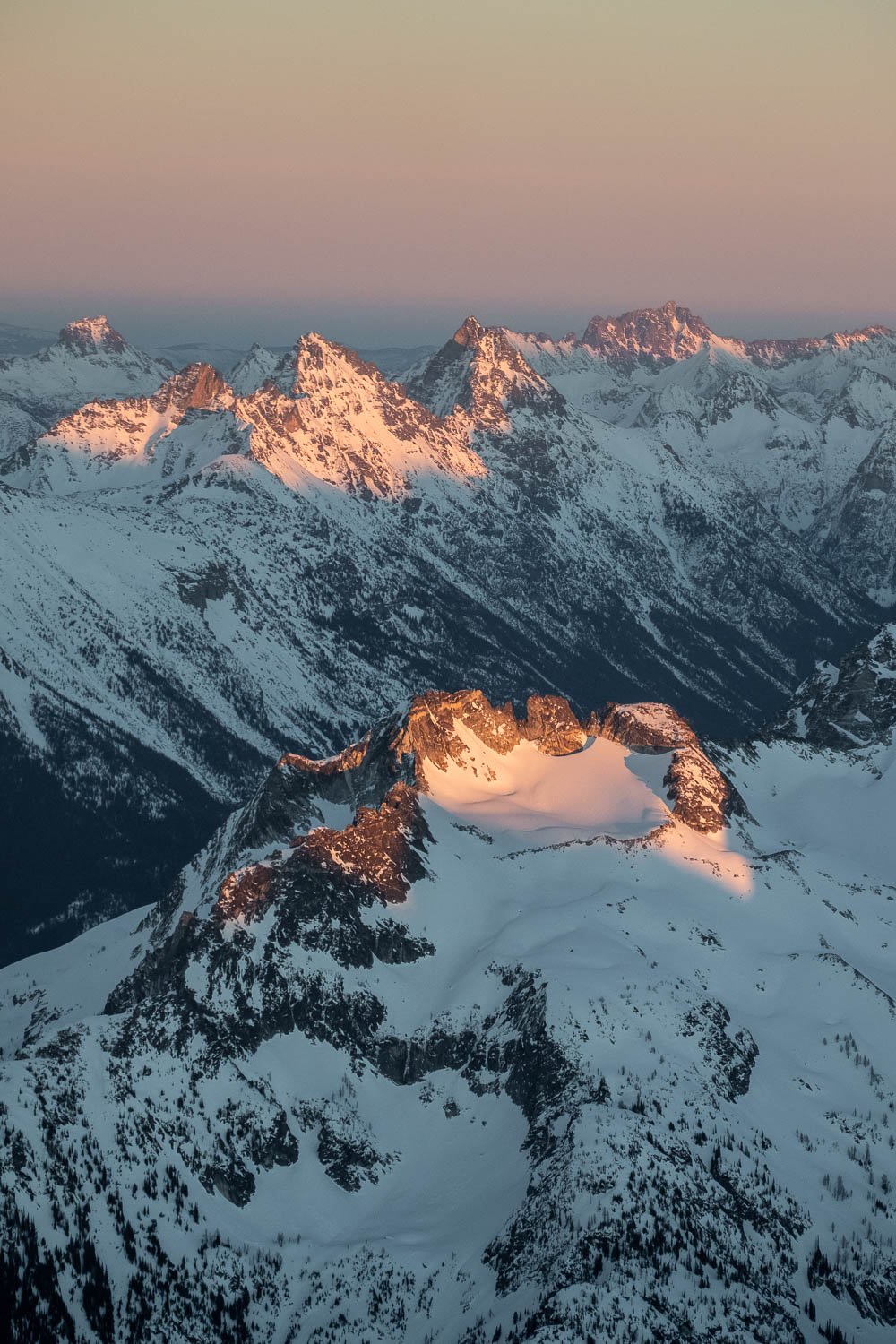
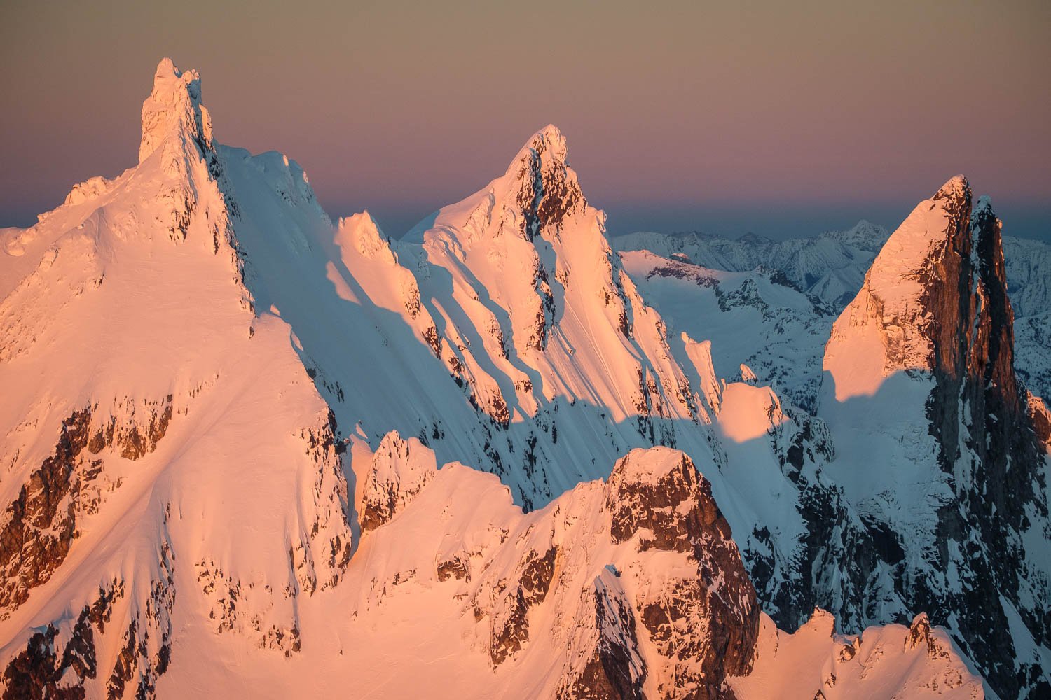
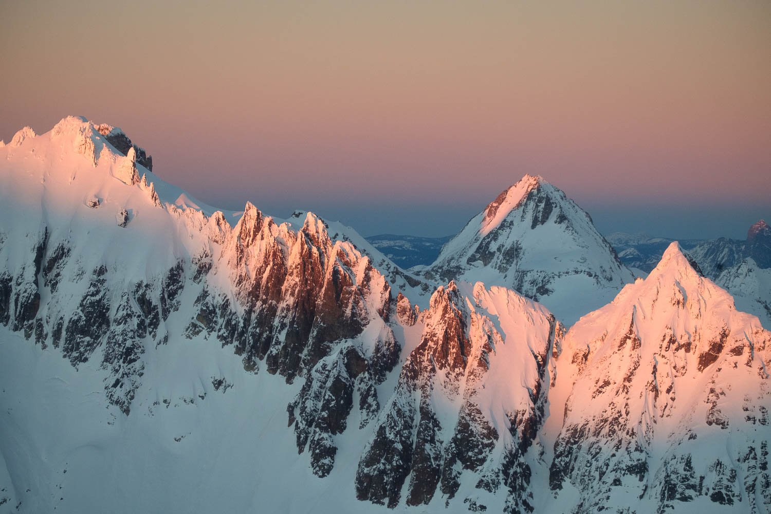
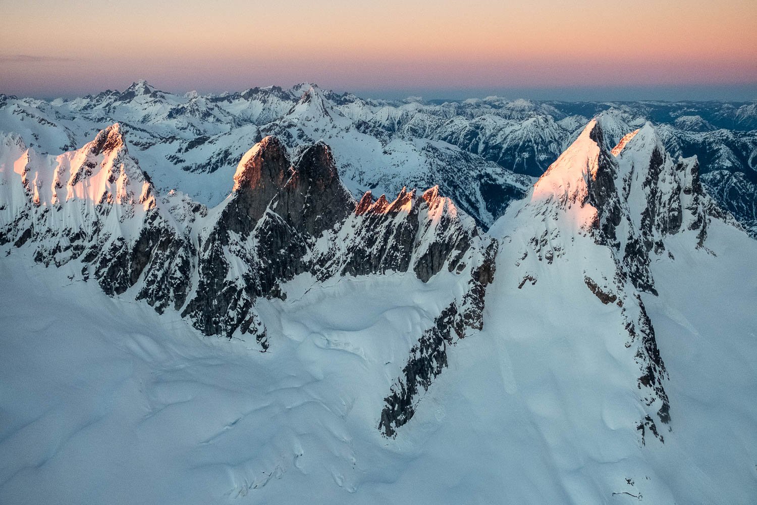
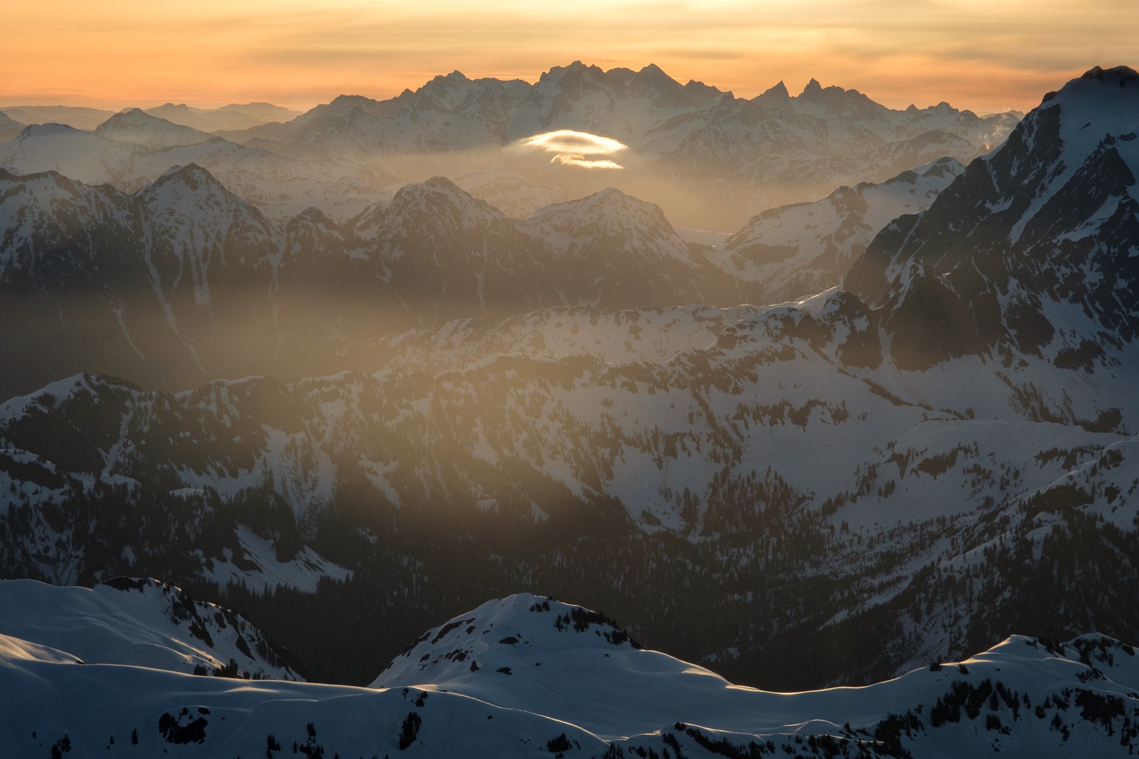
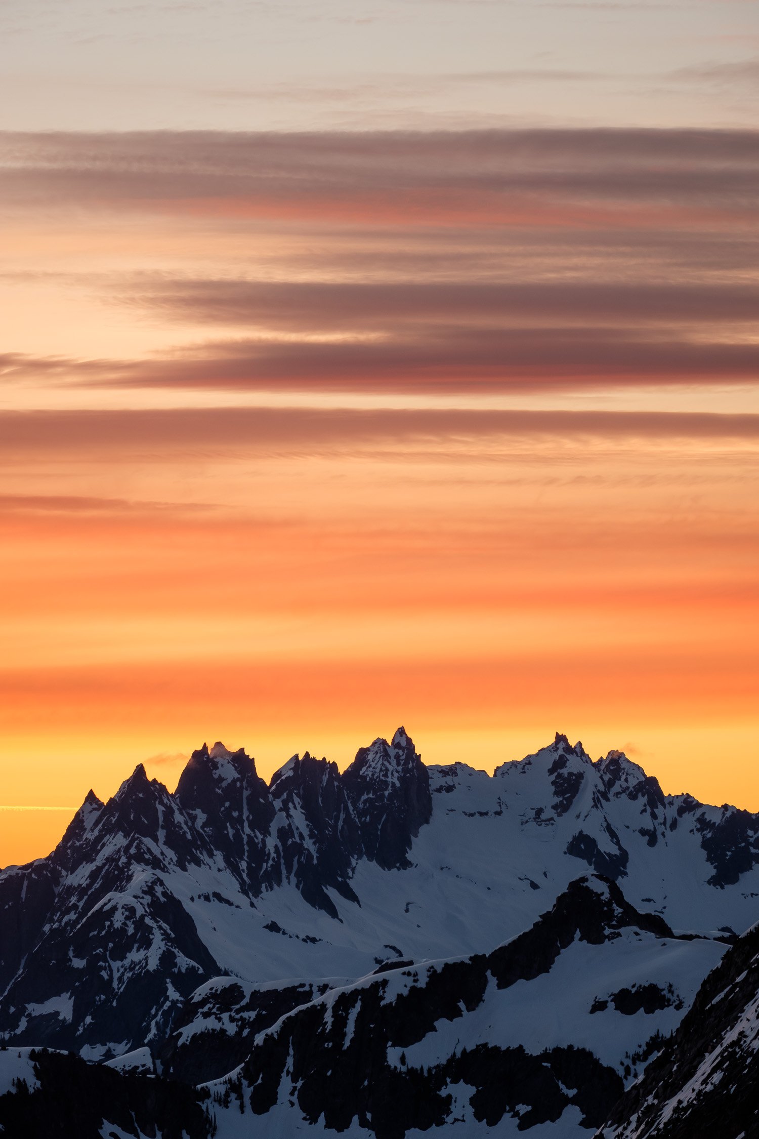
Winter Flight to the Pickets for Sunset

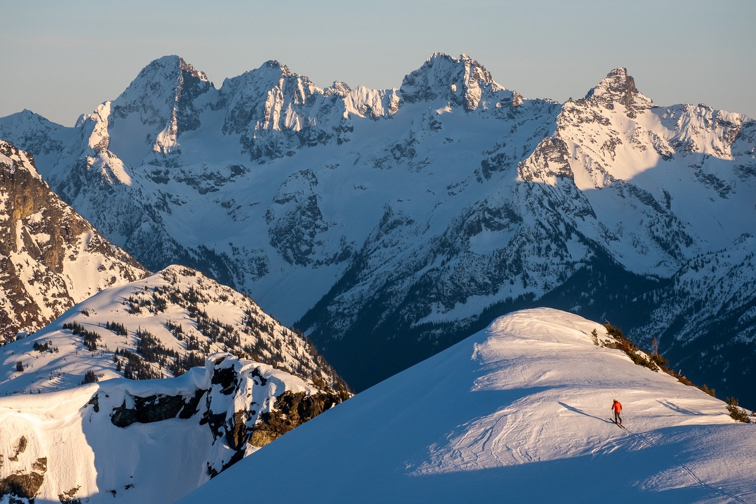
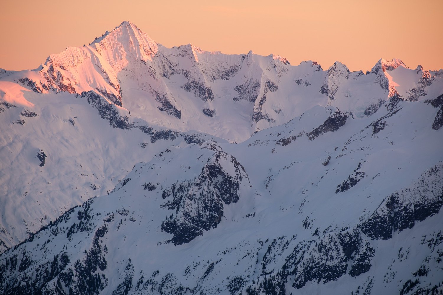
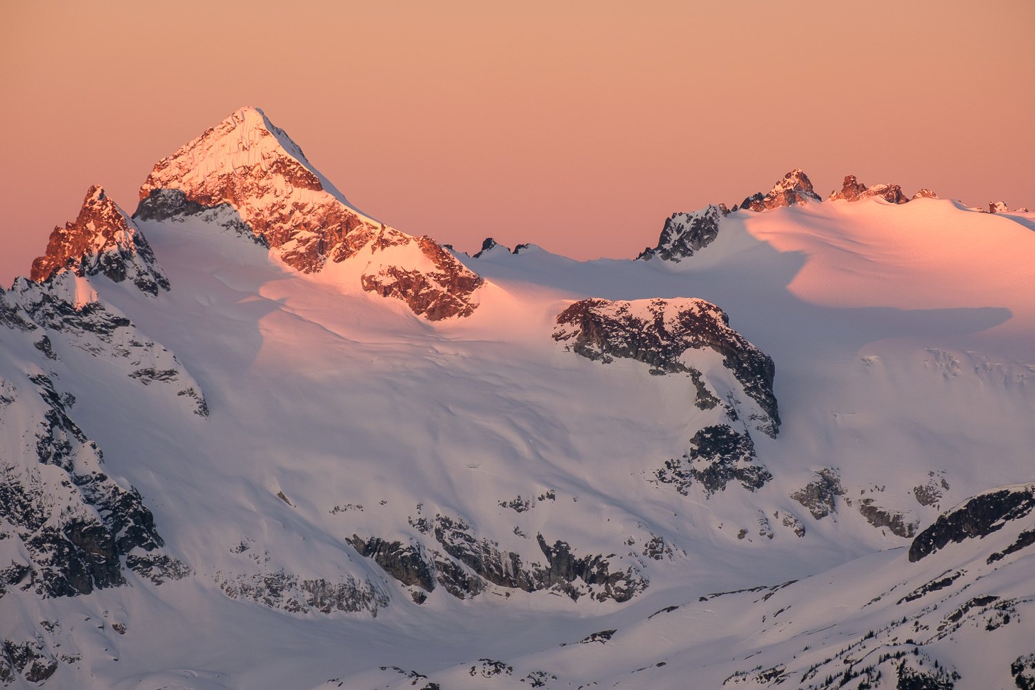
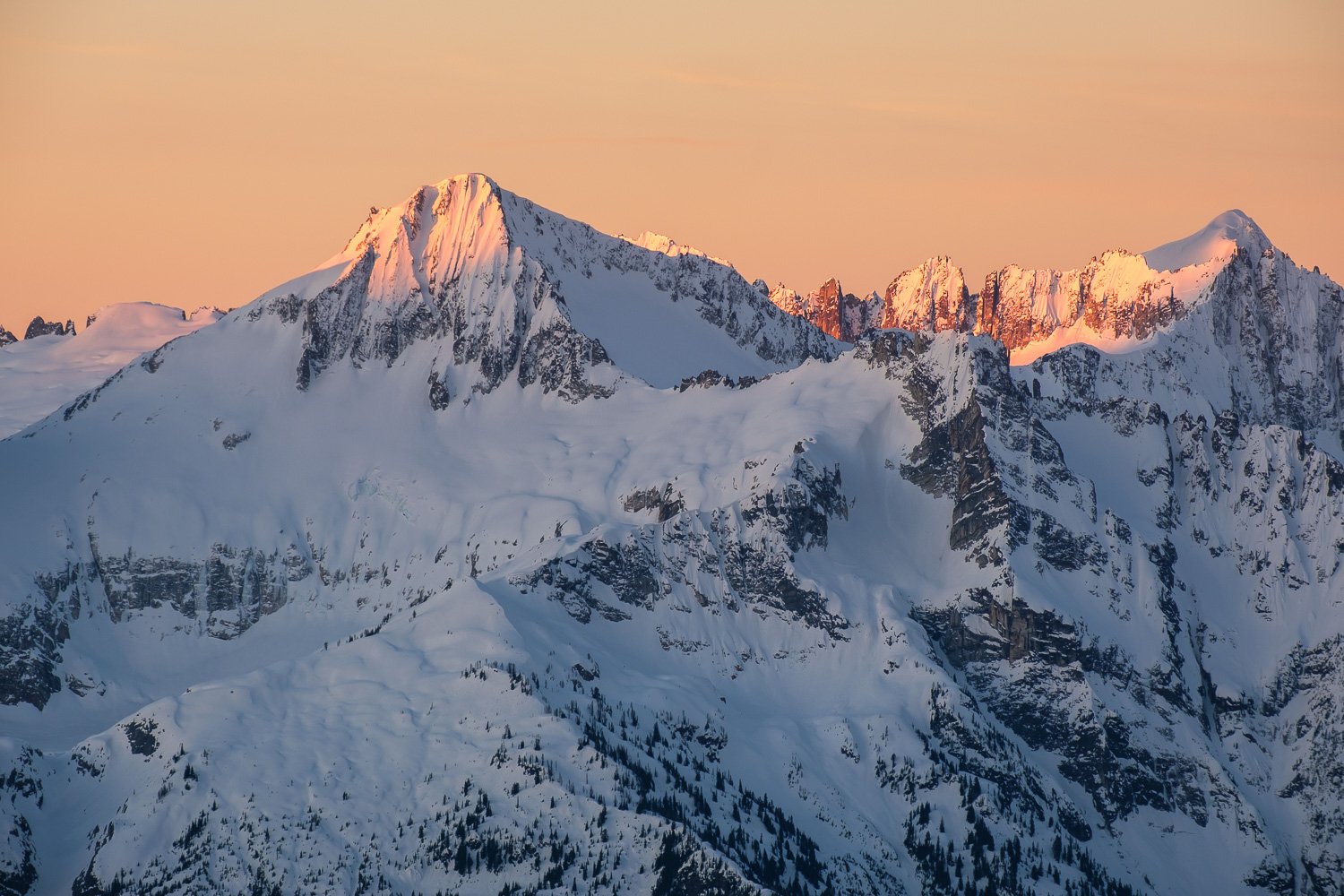
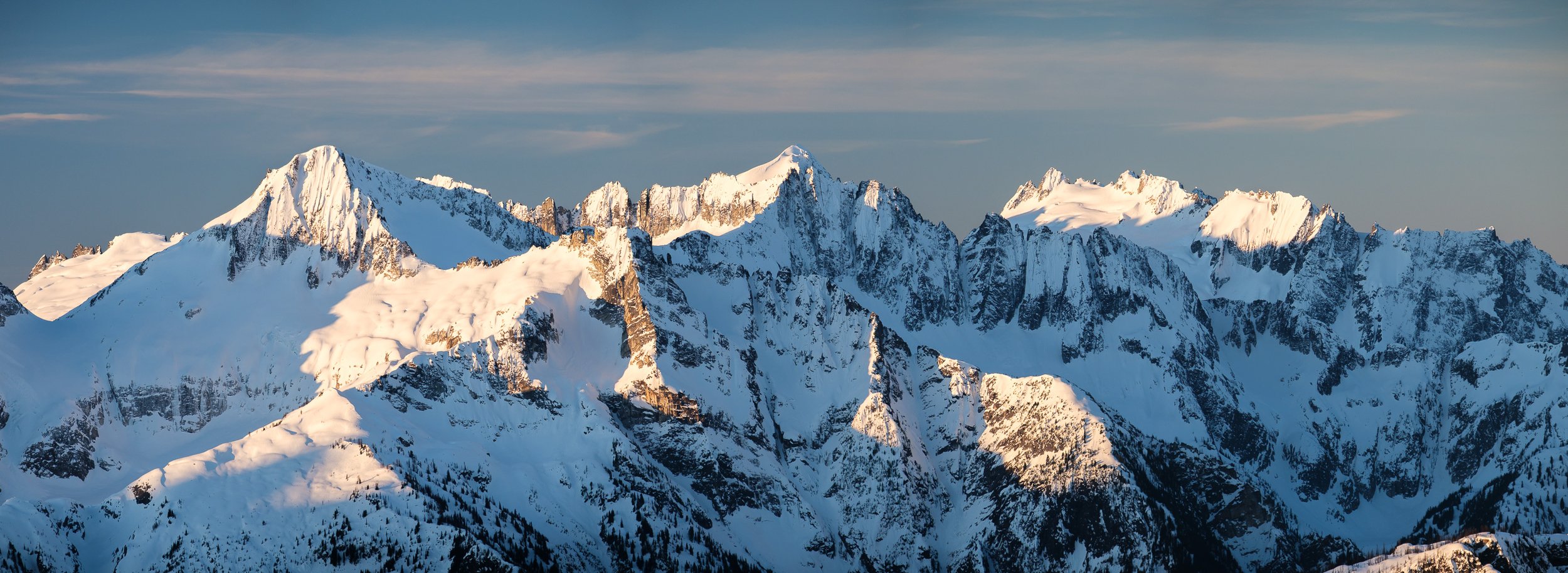
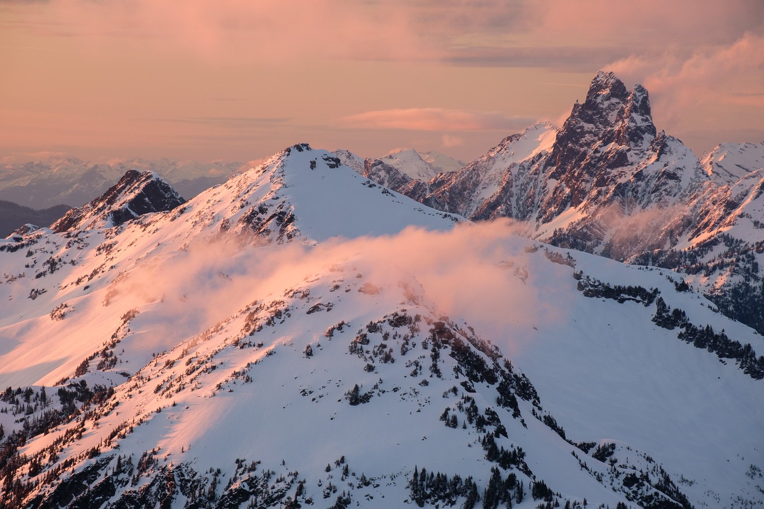
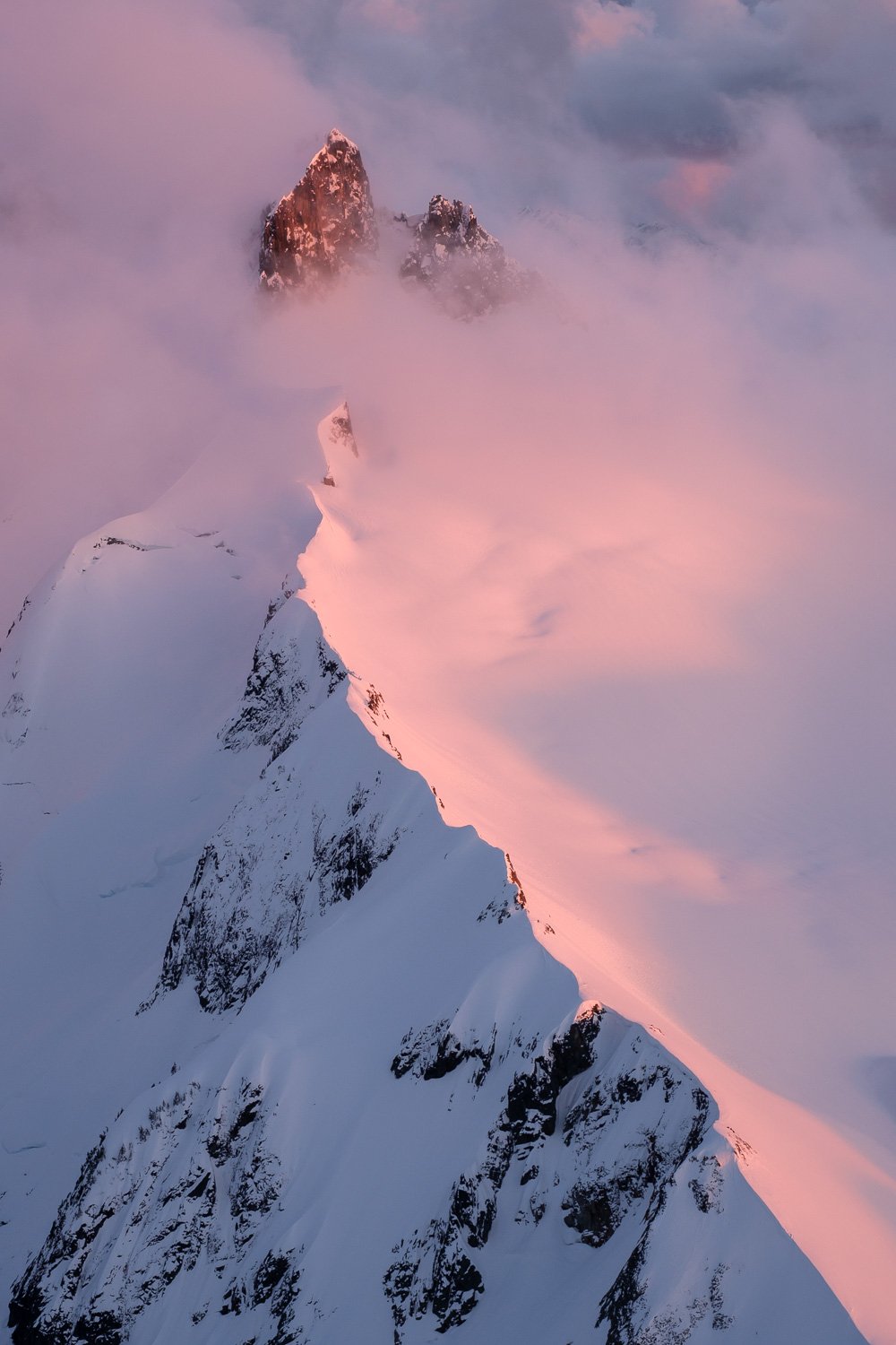
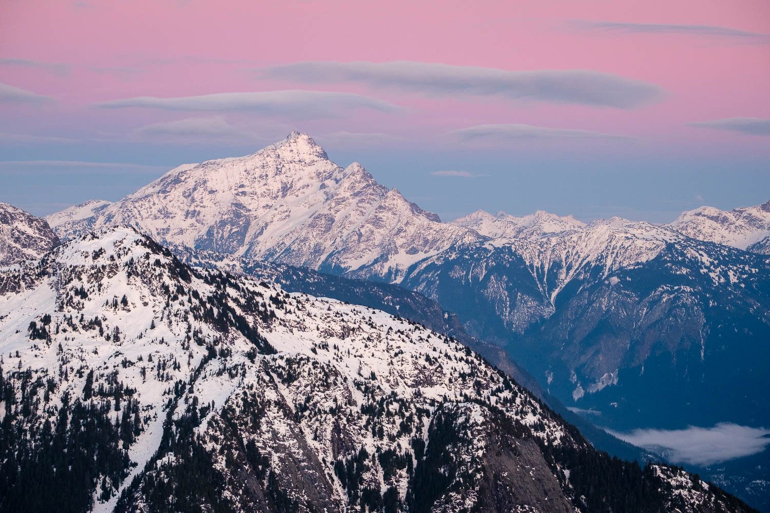
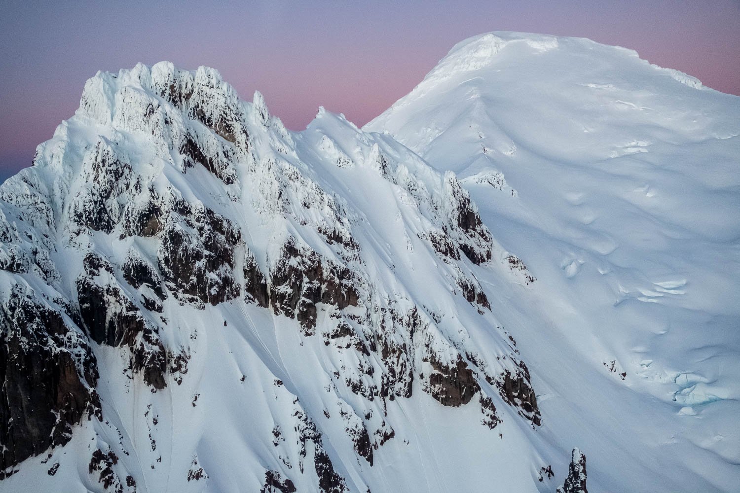
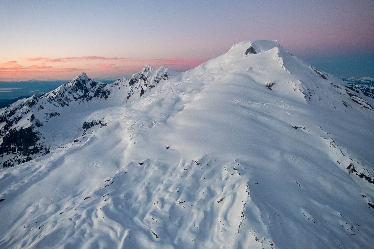
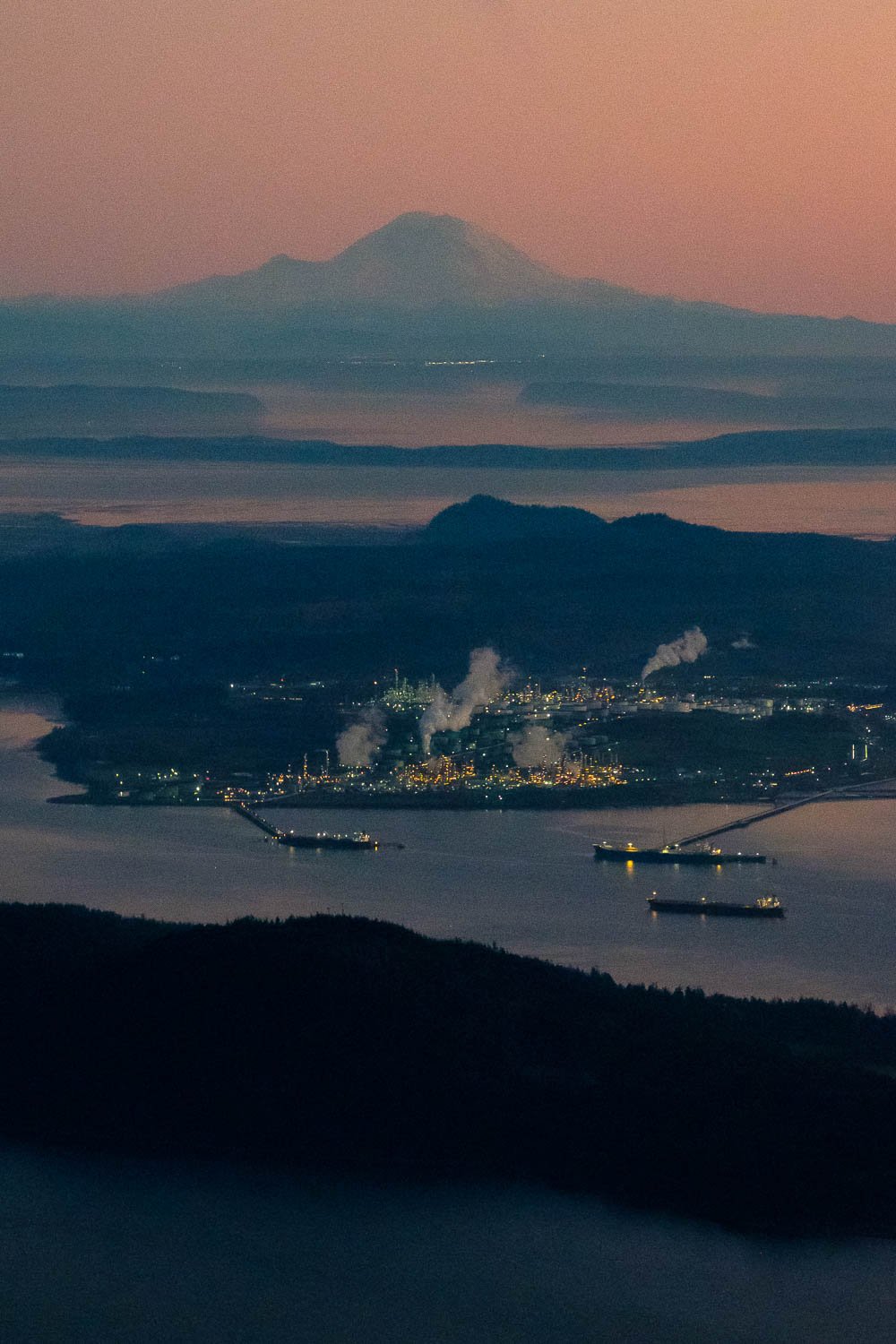
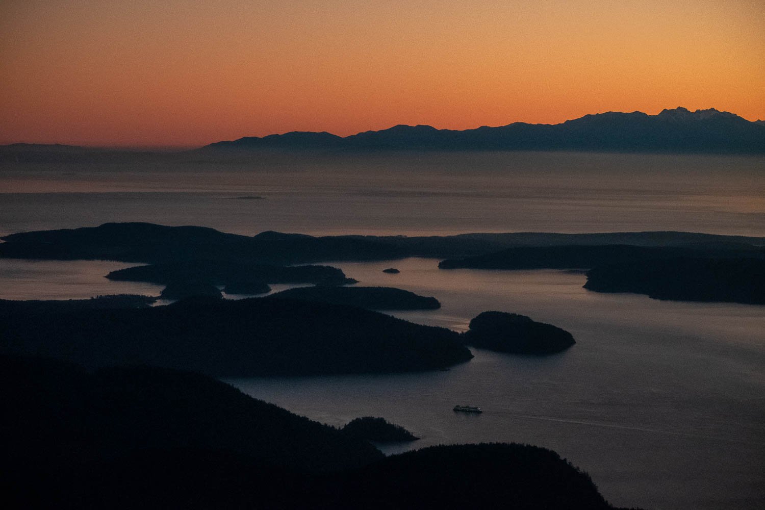
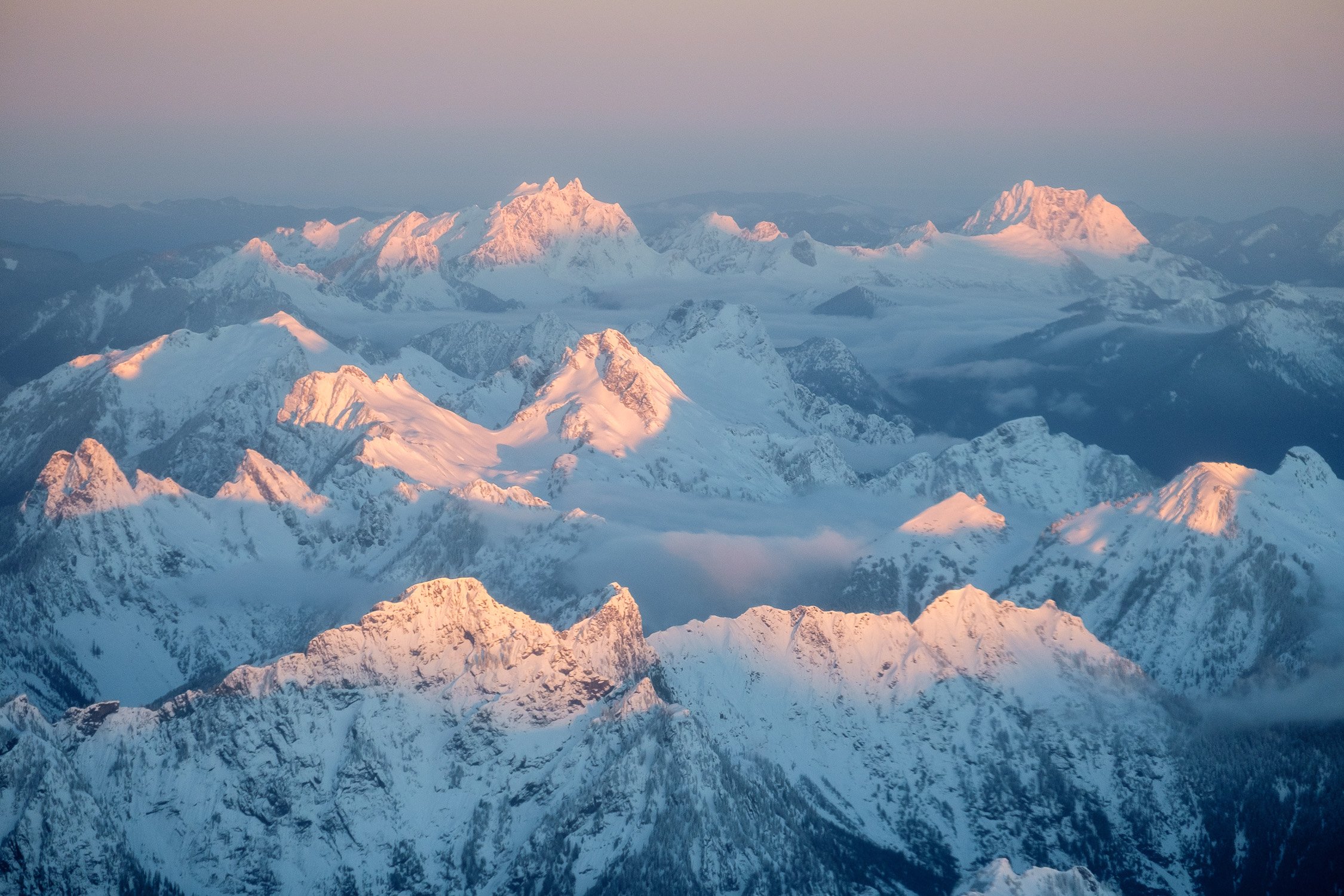
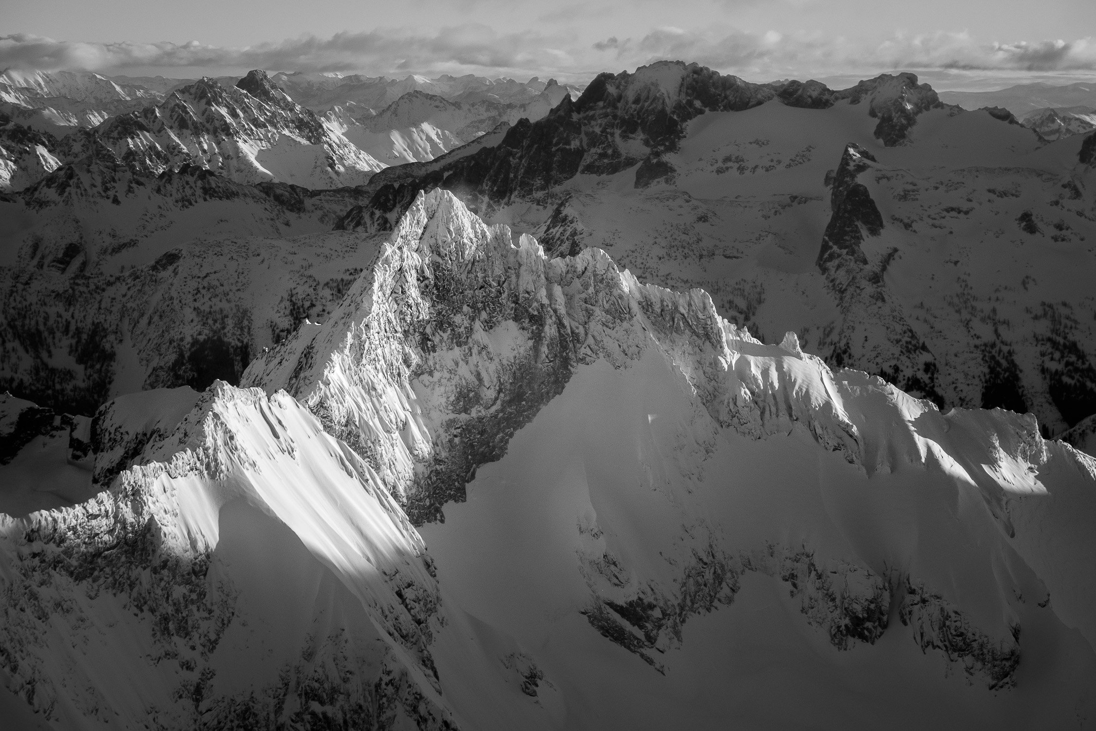
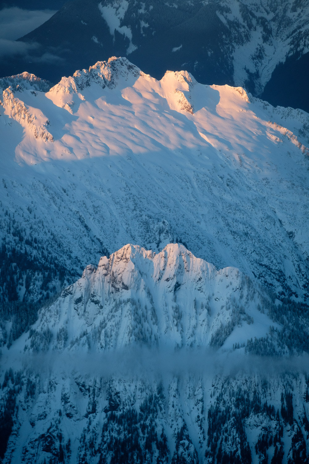
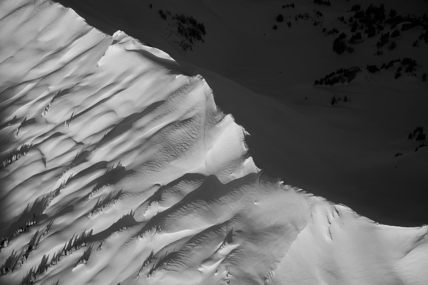
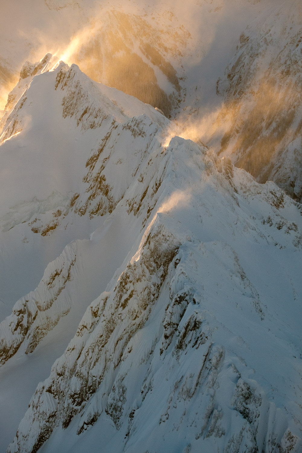
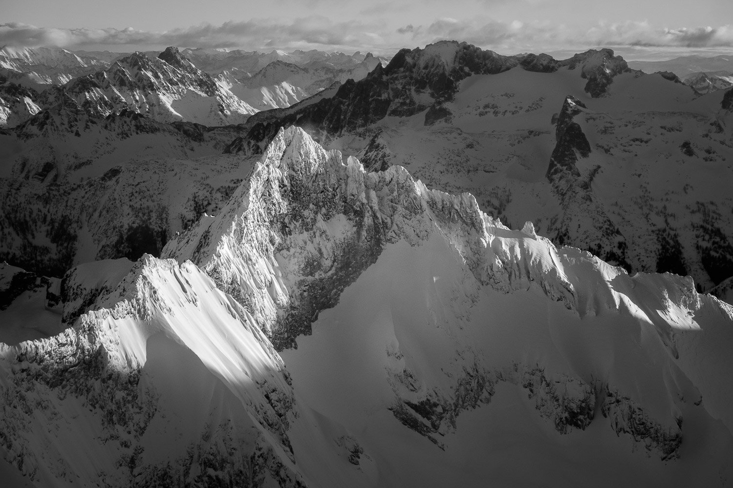
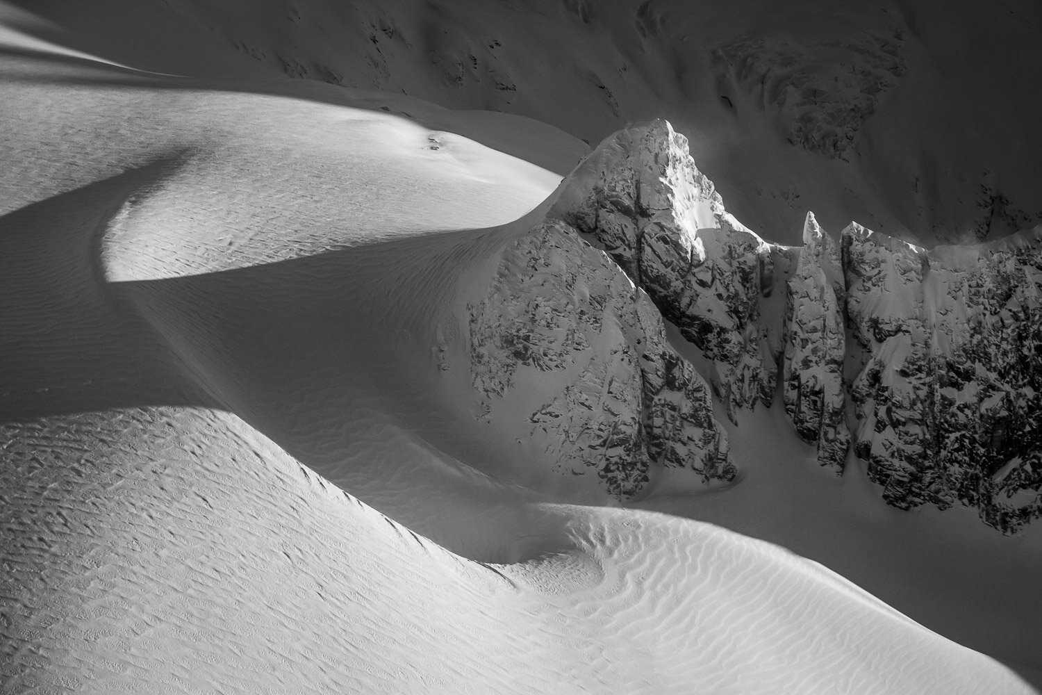
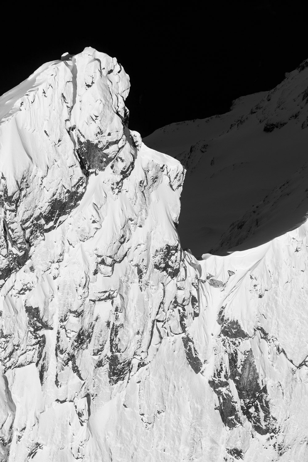
Last January, I had another incredible opportunity to take a scenic flight over the North Cascades to watch the sunset. We had a perfectly calm and clear day for it, and the views were unreal, climaxing in two incredibly close passes past the Southern Pickets just as the light was peaking. We then continued past Shuksan and around the north side of Baker before heading out over the San Juans as the light was fading.

I owe an absolutely huge “Thank You” to Peter Gaylord for piloting such an awesome flight, and an equally large (if not larger) apology to him for taking so long to get these photos together.

Oh and also, Dan Helmstadter skied that couloir on the East Face of Three Fingers from the first photo, solo, in March of 2013.

Best Photos of 2021

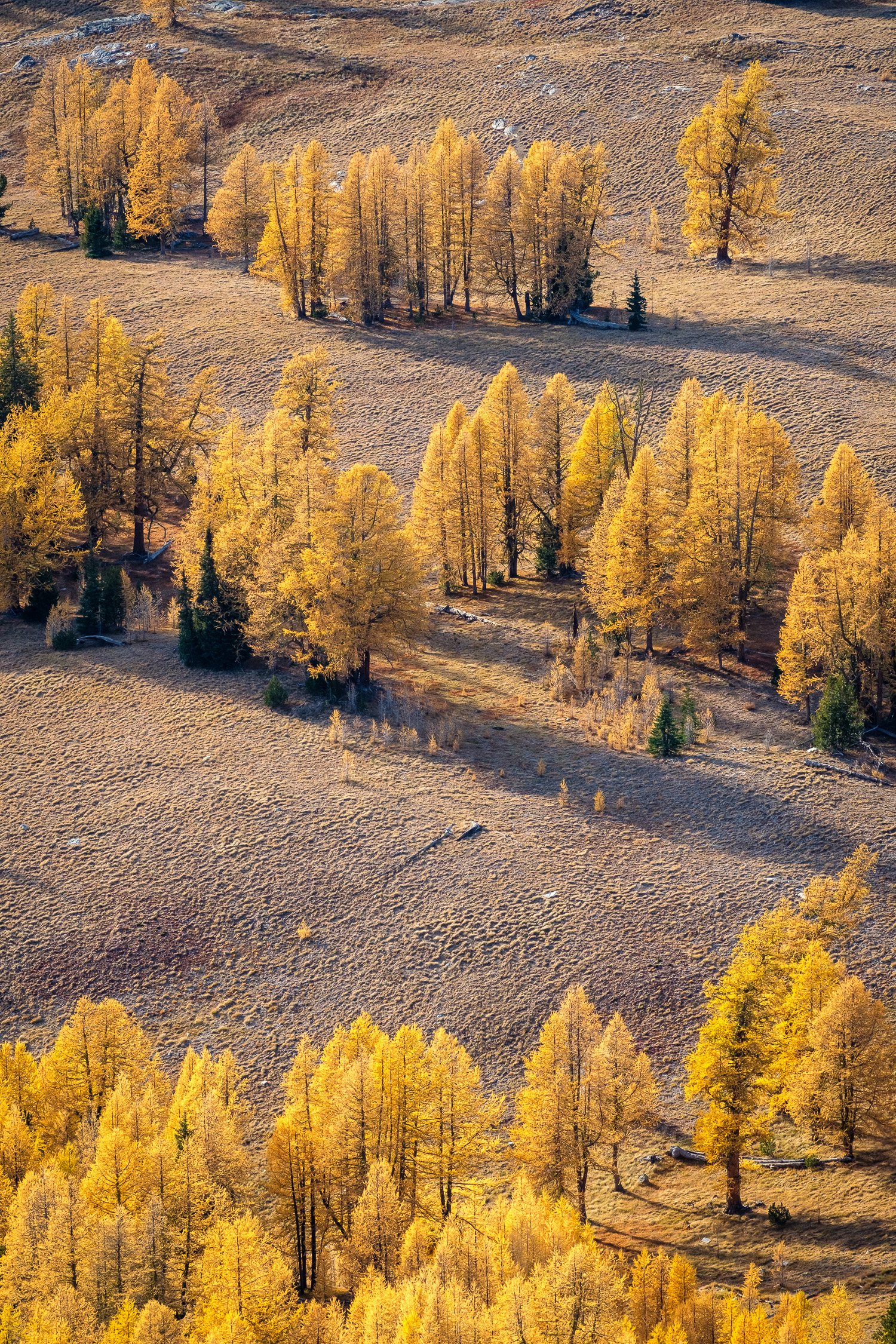
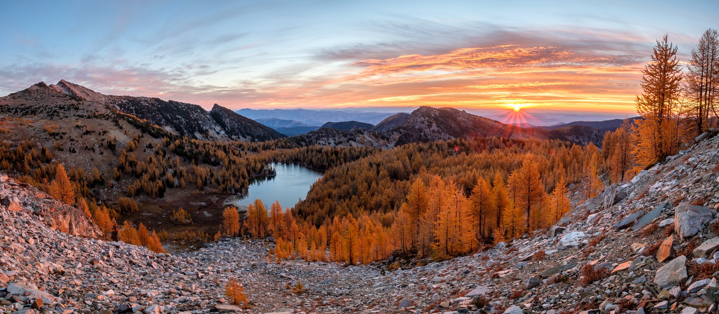
Another year has passed, and looking back at my photos, I feel extraordinarily lucky to have gotten to visit so many incredible and beautiful places during the past 12 months. For me, 2021 started out strong with a fantastically snowy February here in Washington, followed by a month in Oregon, getting to see some new places with old friends. During the spring I was really able to push my limits ski mountaineering, ticking off some classic lines and embarking on some longer and more challenging solo trips than I’ve accomplished in the past. Last summer I focused more on rock climbing than I have before, which I capped off with a great climb of the classic North Ridge of Mount Stuart with Sean. September was unfortunately marked by me breaking my arm in a mountain biking crash, which hampered my ability to get out as much as I wanted to, but I was still able to go on a lovely backpacking trip with my lab mate Mike during the height of fall foliage in the eastern Cascades.

Below are my favorite photos from the year - let me know what you think!

Mapo Tofu Recipe

Mapo Tofu recipe from my mom's old and well-worn copy of "The Ultimate Chinese & Asian Cookbook", published 1997.


Szechuan Spicy Tofu

Serves 4

The meat used in this popular wok recipe can be omitted to create a purely vegetarian dish, if you prefer.


Ingredients

3-inch block fresh tofu

1 leek

3 tablespoons vegetable oil

4 ounces ground beef

1 tablespoon black bean sauce

1 tablespoon light soy sauce

1 teaspoon chili bean sauce

1 tablespoon Chinese rice wine or dry sherry

3-4 tablespoons stock or water

2 teaspoons cornstarch paste

ground Szechuan peppercorns, to taste

few drops of sesame oil


Step 1: Cut the tofu into 1/2-inch square cubes. Fill a wok with boiling water, add the tofu cubes and bring back to a boil. Cook for 2-3 minutes to harden. Remove and drain. Cut the leek into short sections.


Step 2: Empty the wok. Preheat and add the oil. When hot, stir-fry the ground beef until the color changes, then add the leek and black bean sauce. Add the tofu with the soy sauce, chili bean sauce, and wine or sherry. Stir gently for 1 minute.


Step 3: Add the stock or water, bring to a boul, and braise for 2-3 minutes.


Step 4: Stir in the cornstarch paste and cook, stirring, until thickened. Season with ground Szechuan pepper, sprinkle with the sesame oil and serve immediately.

Best Photos of 2020

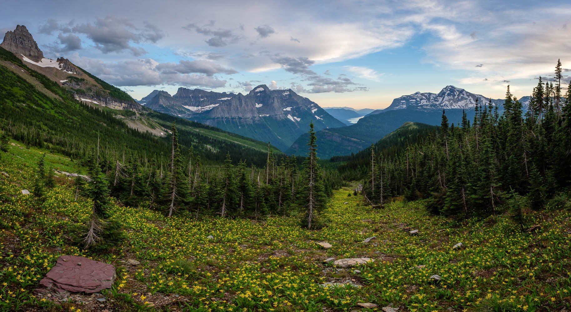
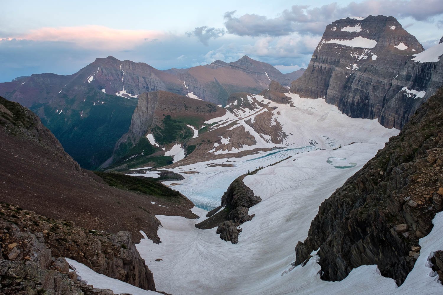
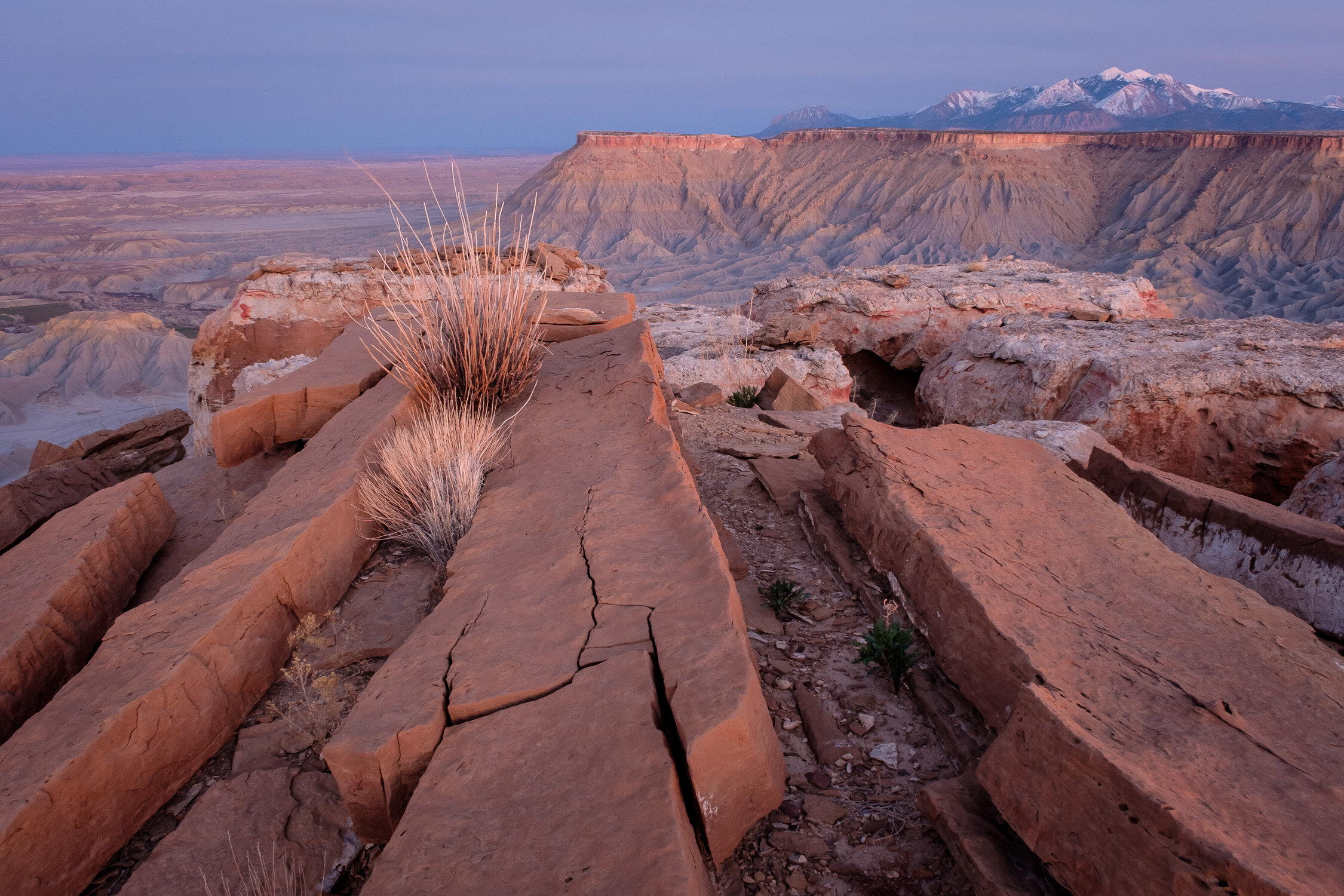
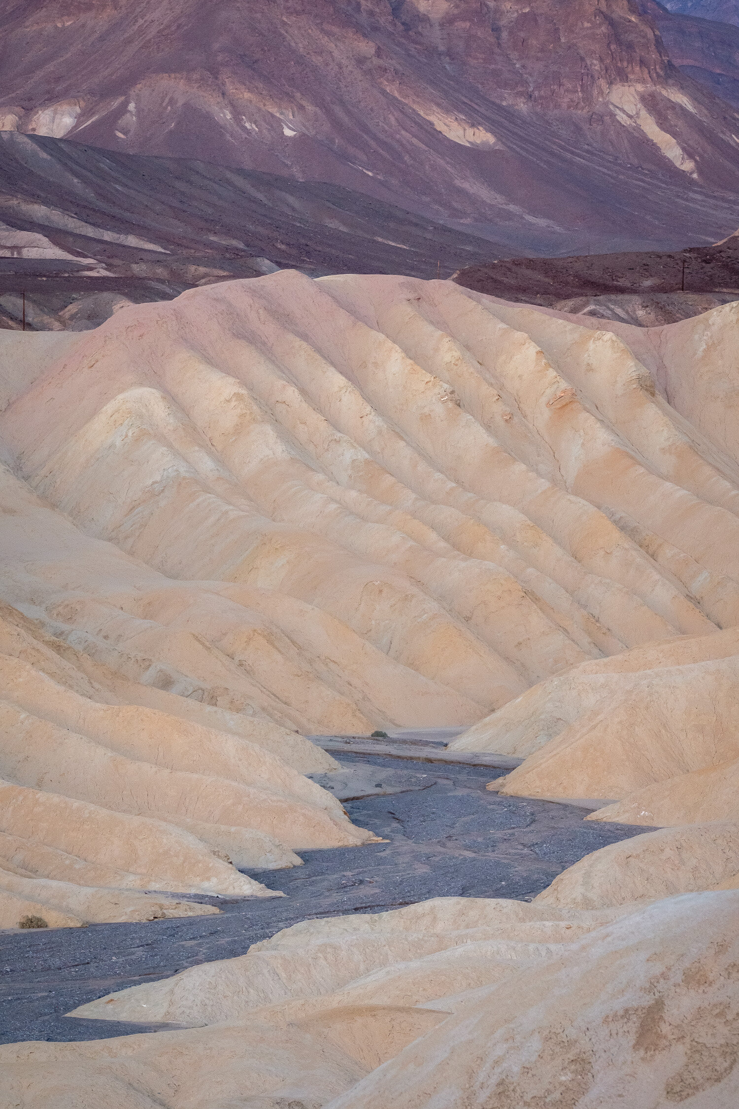
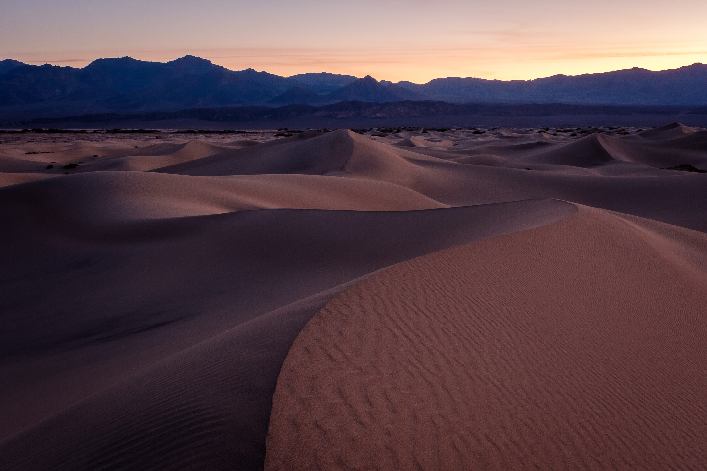
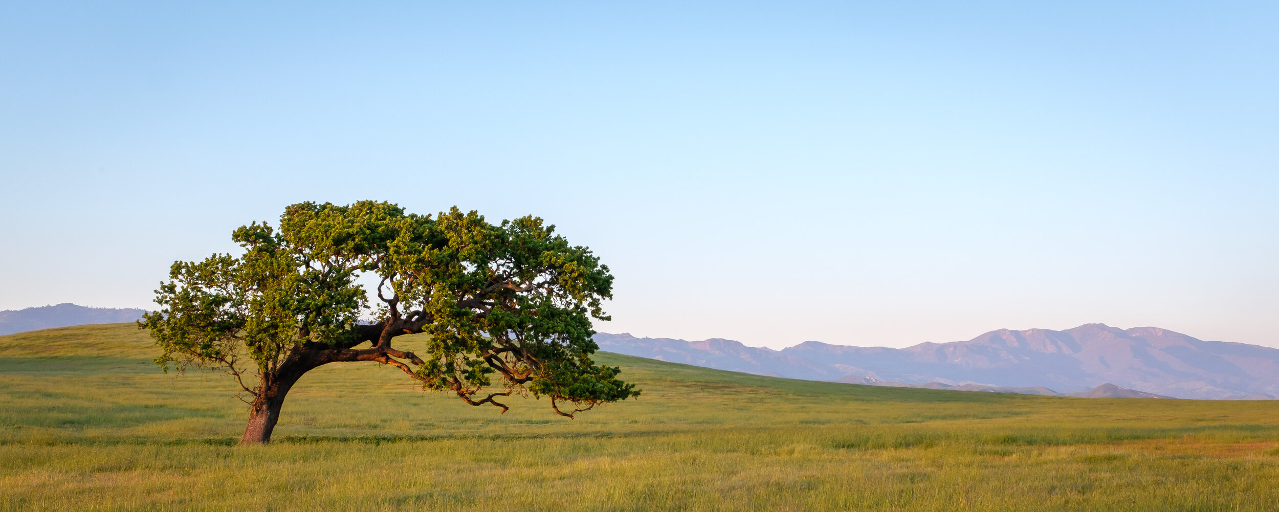
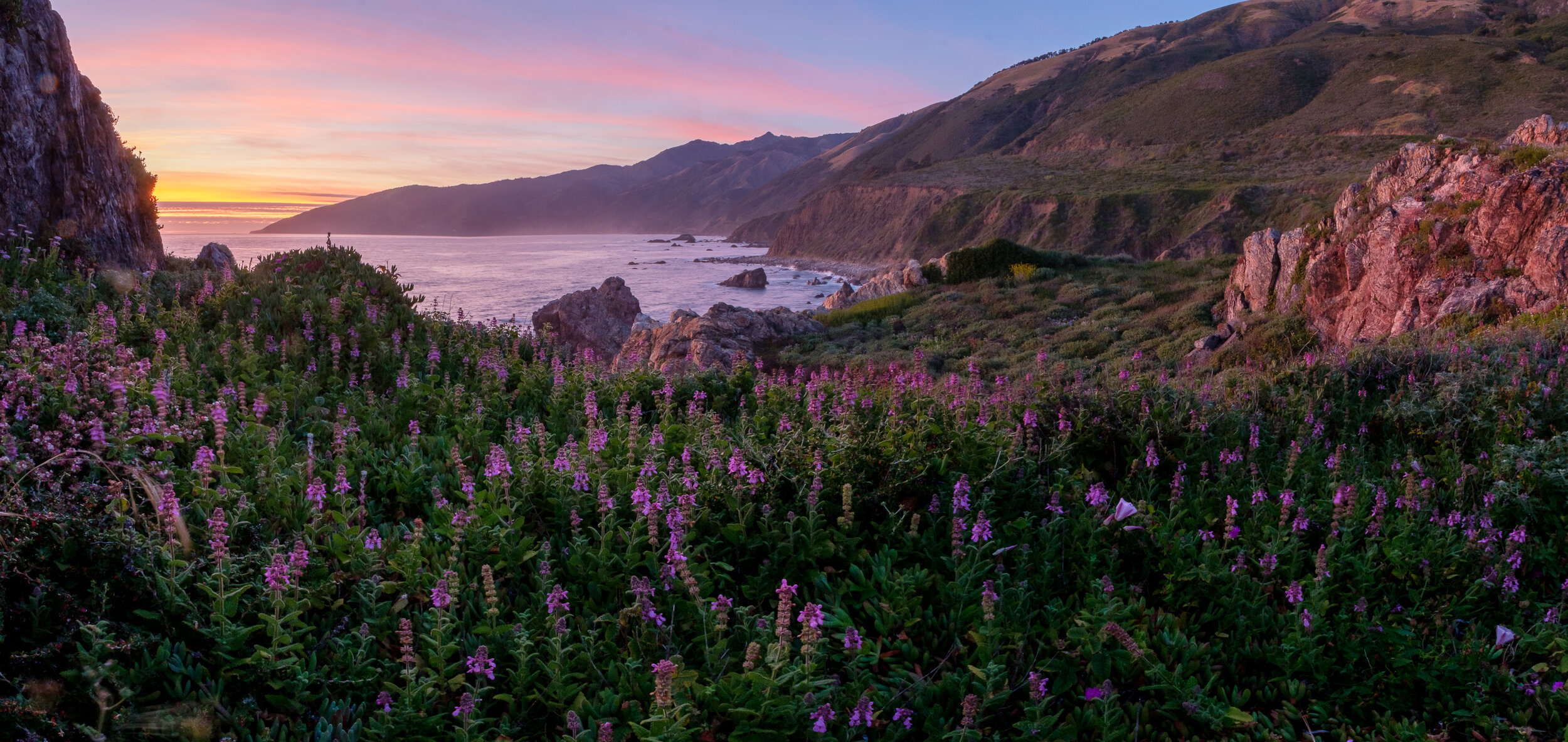
Bear with me - I’m only the better part of two months late with this one. I’ve finally finished working through my backlog and picking out my favorite photos of last year. Because of the pandemic, I found myself driving around the West Coast more than usual, which provided opportunities to revisit some old favorite locations that I don’t get to that often, including Caineville in Utah, and Logan Pass in Montana. I also was able to spend more time exploring the area around Santa Barbara - as much as I constantly dump on California, I am a sucker for their whole “lone tree in a field” vibe.

See below for my favorites, along with captions giving locations and other details for each!

Winter Flight over the North Cascades at Sunrise

Two weeks ago, I had an opportunity to fly over the North Cascades at sunrise with a family friend. We were quite lucky to have clear skies and an incredible undercast. We flew for about an hour and a half, past the Monte Cristo group, Glacier Peak, The Pickets, Shuksan, Baker, and the Twin Sisters.

A map of our flight path, which we flew counter clockwise.

It was incredible to see many familiar summits cloaked in snow, and especially fun to see so many peaks that I’ve climbed, and remember how much effort it took to get to each one - a much different experience than zipping past at 130 mph! Below are a handful of favorite photos, with captions describing the mountains depicted.

Backpacking the Tapto Lakes/Copper Ridge Loop with my Homemade Panoramic Camera

I’m only 4 months late on this one, but I’m slowly making my way through my backlog of film to scan.

At the very end of September, just before classes started up at UW, I went on a lovely 4 day solo backpacking trip in North Cascades National Park to Tapto Lakes and Copper Ridge, bringing along my trusty homemade panoramic camera.

Although I had a few more light leaks than on past excursions, it was really fun to photograph some new and some familiar places with the sensual and smooth tones of Kodak Gold. Below are a my favorite shots from the trip, with captions.