The weekend before last, Matt and Adam and I headed out to do a traverse that I’ve been excited about for years: climbing Ruth via the Ruth Glacier, heading over Icy, and crossing the massive Nooksack Cirque below the stunning and appropriately named Jagged Ridge before climbing up onto Shuksan’s upper slopes and exiting via the White Salmon Glacier. Bonus points if we could summit Shuksan. I know of a few people who’ve done this trip in the other direction, starting by climbing Shuksan and heading out via Ruth, but finishing on Shuksan seemed fun to me - something about ending with the highest summit seemed sporting, skiing the White Salmon seemed neat, and this way, we’d also get a nice look at the Nooksack Headwall instead of dropping into it sight unseen. It ended up being an amazing three day trip that I’m sure will be a highlight of the season, with some incredible views, good company, and just enough variable weather to keep things interesting.
A tasteful amount of dirt skinning on the Hannegan Pass trail.
Day 1: After a leisurely start leaving Seattle, we hid my bike in the woods at the bottom of the Hannegan Pass road then drove to half a mile shy of the summer trailhead before getting stopped by snow. We left the car at 12:30 and started skinning directly, opting to leave our trail runners in the car, a decision that seemed to be the correct one. We ended up being able to skin all the way to the summit of Ruth with just a tasteful amount of dirt skinning, following the summer trail for much of the way before dropping to the valley bottom for the rest of the way.
Matt and Adam heading up Ruth under grey afternoon skies.
After a quick lunch break at the base of the climb up Ruth proper, we headed up towards Ruth’s North Ridge, opting for the direct route rather than heading over to Hannegan Pass. As we climbed, a fairly thick overcast came in, with low clouds over Redoubt and the Pickets. At the ridge, the wind picked up dramatically, and it felt ominous. We picked up the skin track from two men we had run into earlier, and headed up the ridge at a leisurely pace to the summit at 17:45.
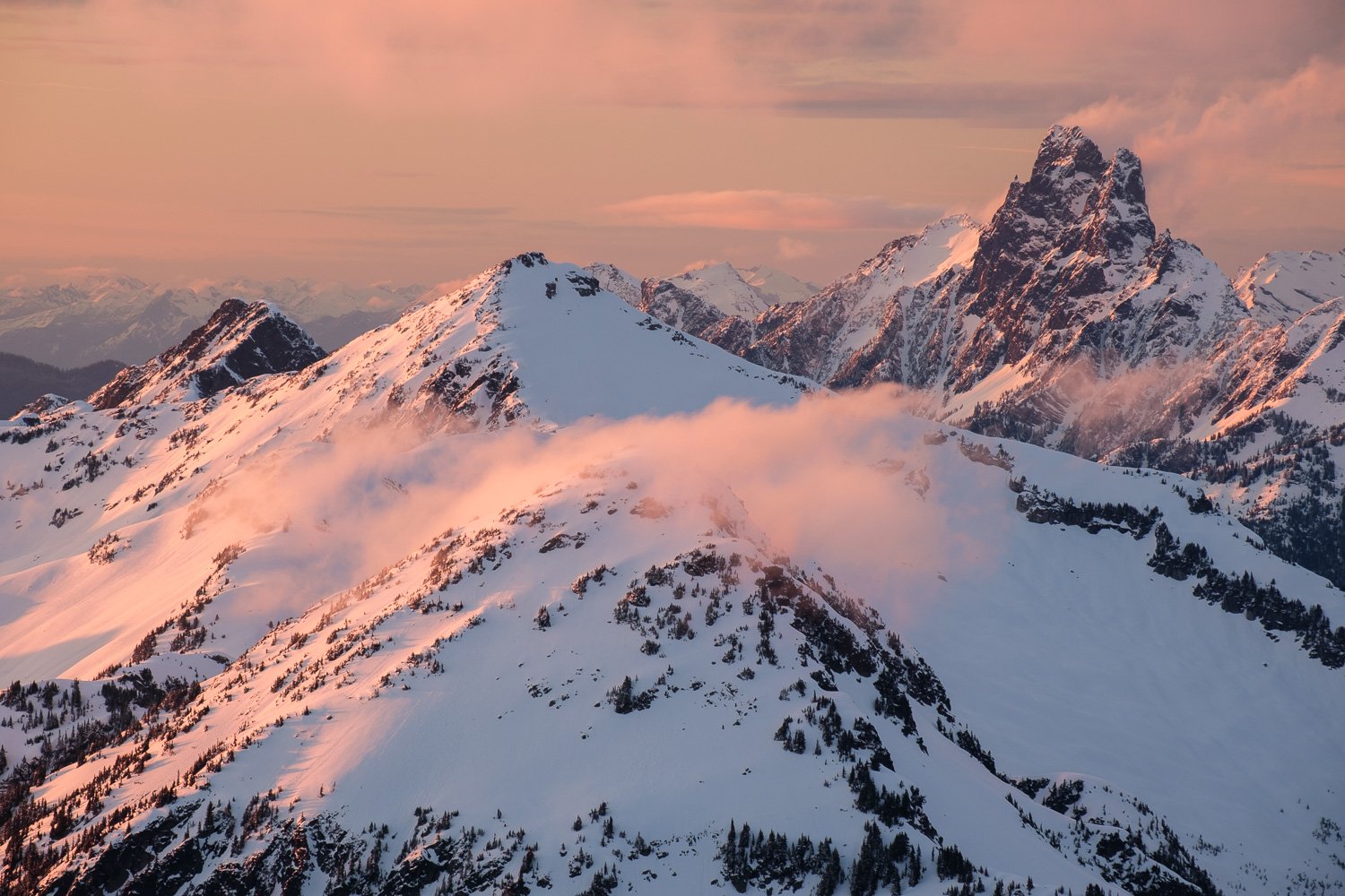
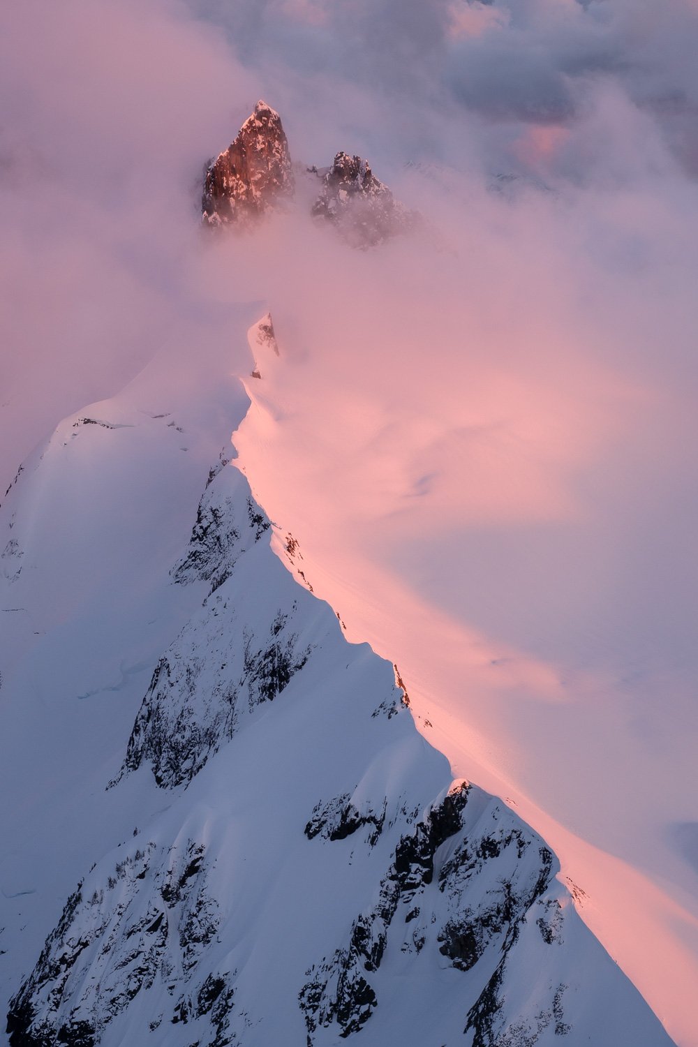
Thankfully, as neared the summit, the sun started to come back out, and we watched clouds blow up from the Nooksack valley and dissipate. We set up camp on the bench just below the summit, which was pleasantly sheltered, and had an absolutely stunning sunset with clouds blowing around Icy and Shuksan.
Day 2: The wind shifted during the night, and we ended up getting pretty blasted in the tent, with the entire vestibule filling up with a foot and a half of drifted snow, burying our boots. Things seemed more pleasant after the sun came up, and we had a nice sunrise, although it was still fairly overcast. It was cold at camp in the wind, so we packed up quickly and at 8:15 skied down firm refrozen southwest facing slopes to the gully that gives access to Icy, then down to our transition point before stopping in the shade out of the wind to make breakfast.
Adam skiing firm slopes just below the summit of Ruth, with the Jagged Ridge in the background.
At 9:30, we put skins on and climbed to the ridge crest, then picked our way up pleasant slopes towards Icy, weaving around the crest before eventually picking the western side, which we took most of the way to Icy’s summit. At the highest possible opportunity, we cut back left to gain the top of the Spillway Glacier, and traversed some steep snow to reach the saddle between Icy’s two summits at 10:50. From there, we skinned up a steep (45 degree) northeast facing slope, then dropped packs and skis and booted the short distance to the West Summit of Icy.
Adam setting a skinner up towards Icy.
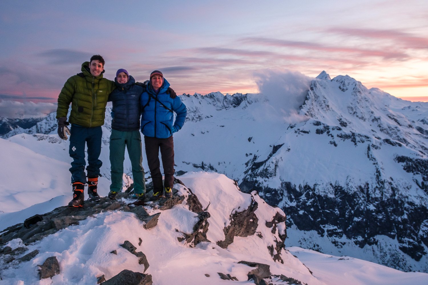
Matt and Adam on top of Icy, with Larrabee, Slesse, and Ruth in the background.
Adam skiing a short couloir just below Icy’s summit.
We returned to our skis and dropped in at 11:30. We skied a short couloir down to the south side of Icy, then followed the obvious route down enter the Nooksack Cirque, intimidating and beautiful. We skied down to 4,700 feet on a descending traverse, with even some powder in spots, before having lunch and putting skins on.
Matt and Adam taking in stunning views of the Nooksack Cirque, with our route laid out before us.
Skinning up the East Nooksack Glacier, with the Jagged Ridge looming overhead.
We made a pretty flat traverse above cliff bands until we were most of the way to the lookers right side of the cirque, then made a long and hot but straightforward and beautiful climb to gentler slopes on the the upper East Nooksack Glacier below the headwall. The headwall was a 50° snow slope with a few small and avoidable bits of ice, and really didn't look nearly as bad as we worried it might be. We skied up to the bergschrund, then booted the last 200 vertical feet. I thought it was nice to have crampons and an ax, although we did not use our rope. If you did want to protect it, one or two ice screws would be helpful. We topped out onto the Crystal Glacier at 15:30... Beautiful.
Adam booting up the Nooksack Headwall.
Adam and Matt topping out the Nooksack Headwall, with stunning views of Nooksack Tower behind.
We made quick time crossing the gentle Crystal Glacier to the Sulphide, and continued a bit further, trying to find a sheltered spot out of the wind. After 20 minutes or so digging out the beginnings of a snow cave to leave our overnight gear, at 16:50 we started up towards the summit pyramid.
Our snow cave below Shuksan’s summit, about 1,000 feet above us. Scale is hard to perceive up there.
We skinned to about 600 feet below the summit, then booted up an existing bootpack, leaving our skis 300 ft below the summit. It was steep snow but not bad, and crampons and an ax were definitely mandatory for the rime ice at the summit. Summited at 18:00, and a chilly breeze meant we didn't wait around for long. We took our time facing in to downclimb safely to our skis, then quick skiing back to camp at 18:40. We spent another half hour digging out a nice snow cave, which the boys very kindly finished up while I took pictures of the beautiful sunset. We went to bed thrilled that we’d accomplished the trickiest parts of the route, with relatively well known terrain that should make for a quick final day.
Sunset behind Baker on the upper Sulphide Glacier.
Matt and Adam, soggy but in high spirits.
Day 3: After a somewhat soggy night, I awoke at sunrise, knocked spindrift out of my boots, and crawled out of our cave where I was surprised to find a total whiteout despite the forecast calling for clear skies. With no views whatsoever, we had a pleasant enough time packing up and making breakfast in our cozy cave. After an hour or two of waiting with no signs whatsoever of improving visibility, at 8:50 we started skiing down towards Hell's Highway across the Sulphide Glacier, paying careful attention to the GPS since we couldn't see anything.
Home sweet home. Nice to be able to pack up out of the wind and blowing snow.
Dropping into Hell's highway was very intimidating, just a steep gaping maw full of cloud and howling winds. Once in it, however, the skiing wasn't so bad, and we quickly transitioned to traverse the Upper Curtis. We picked our way across the glacier in the whiteout, then dropped in towards Winnie's Slide. Navigating on the glacier in the whiteout was quite daunting, as we lost the previous day’s tracks and couldn't see anything. There were crevasses and steep wind lips that didn't show up on the map, and I kicked myself for not looking more carefully when I could see down onto the Curtis the night before. We skied carefully, and eventually made it down and crossed the ridge onto Winnie’s Slide at 10:00, relived to once again see many tracks marking the way. Whew.
Matt and Adam skiing on the Upper Curtis in a whiteout, navigating through steep slopes and exposed ice.
We skied the White Salmon in incredibly heavy snow, kicking off massive roller balls. After a thousand vertical feet, we finally dropped out of the clouds to find to our surprise that the entire range to the north was overcast, with all of the summits of the Border Peaks and surrounds in the clouds as well. It was a shame to have skied the White Salmon and everything above it without being able to see the incredible terrain we were in, but we made it down safely and still had fun.
The boys below the White Salmon, relieved to have better visibility.
We skied along the valley bottom without much trouble to 2,800 ft, then climbed up to the ski resort boundary, mostly booting. Adam took his time while Matt and I went ahead to get a head start on retrieving my car. Only a few minutes of skating brought us to the White Salmon lodge just past noon, and Matt waited for Adam while I went car to car in the parking lot, asking if anyone would give me a ride down the highway. Eventually two older gentlemen acquiesced, and 20 minutes later I was grabbing my bike out of the woods. It was a lovely ride up through the forest back to my car. On the drive back down, I thought to myself how badly my ski boots were really stinking up the car, before I realized it I had left them where I retrieved my bike - they weren’t even in the car yet!


