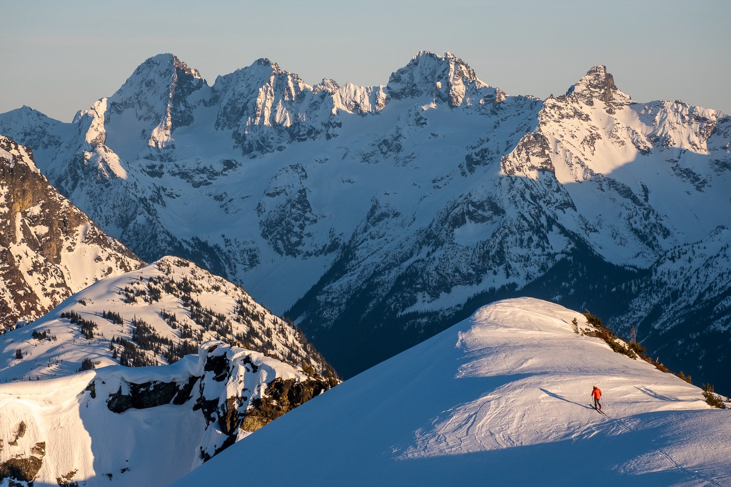
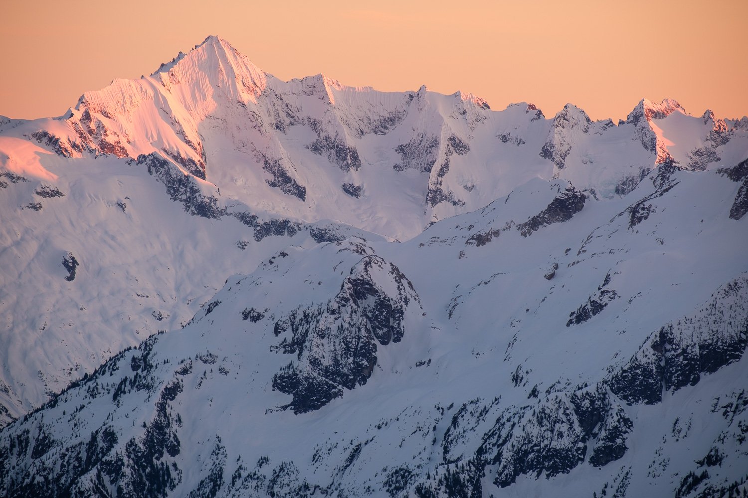
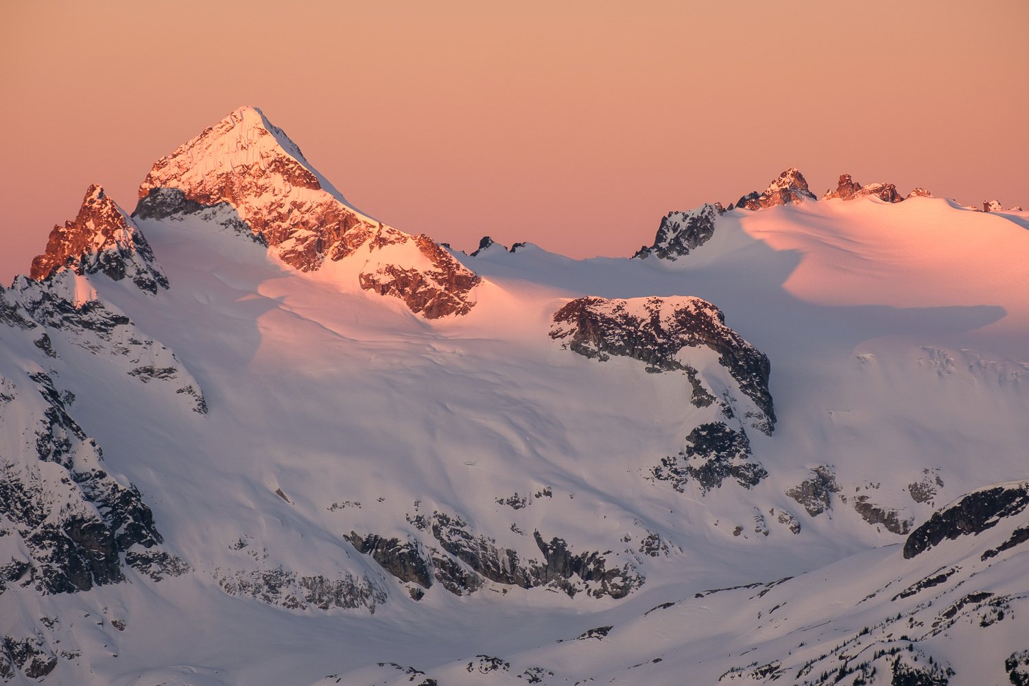
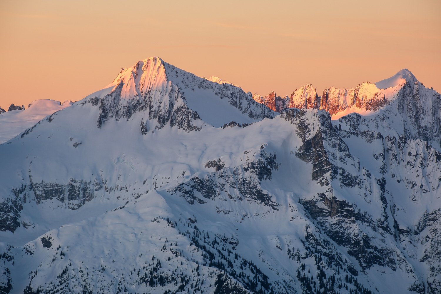
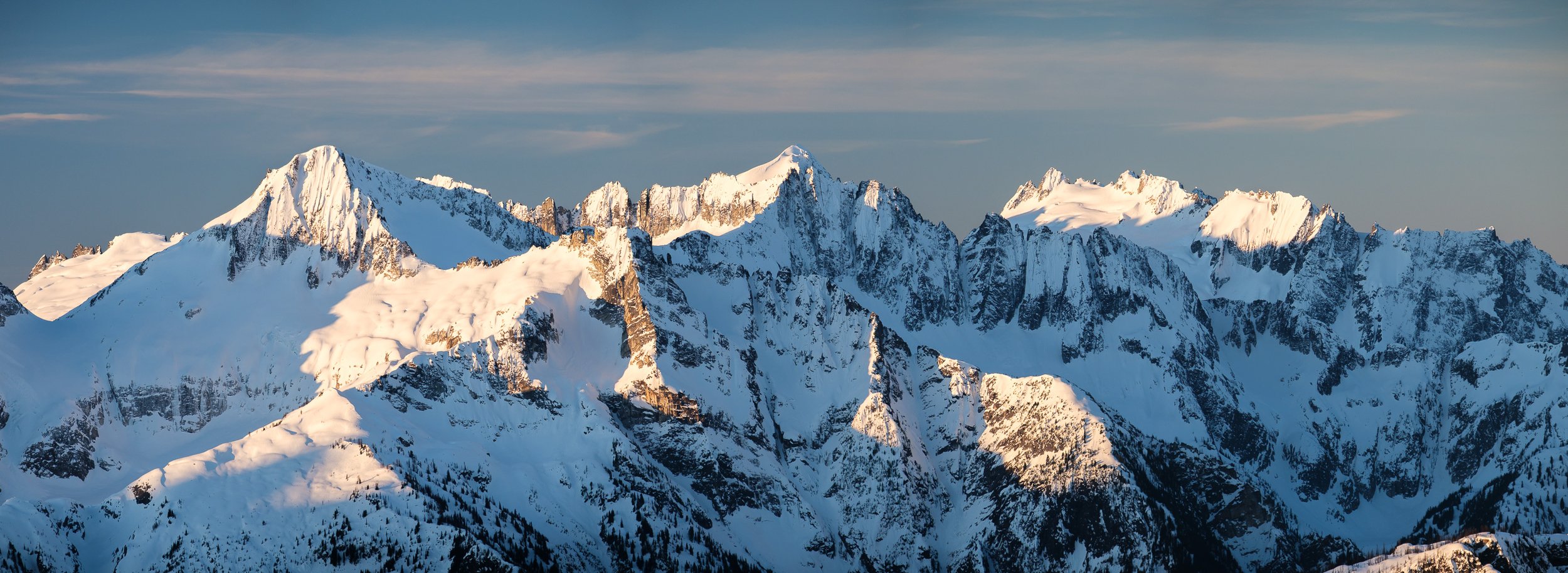
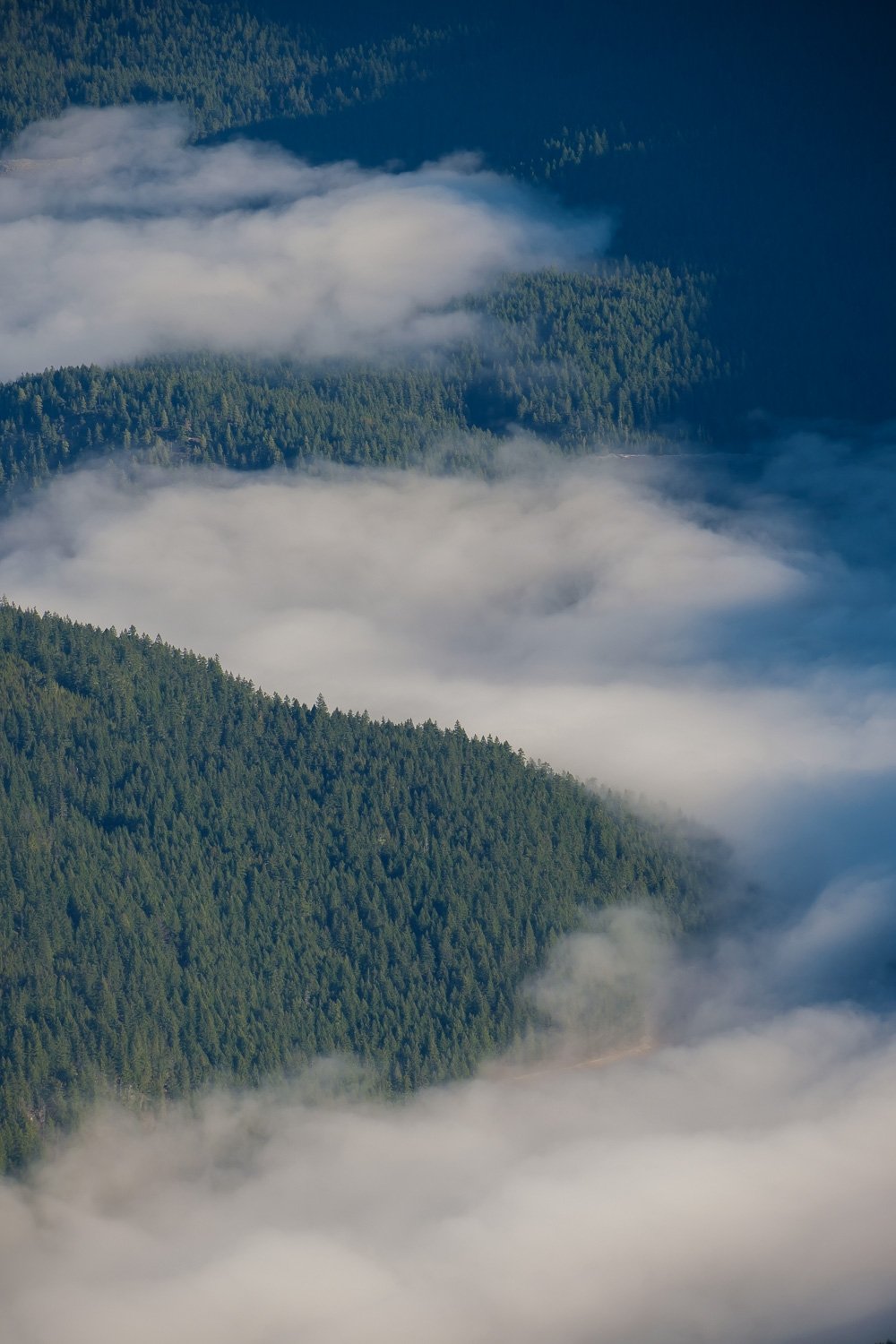
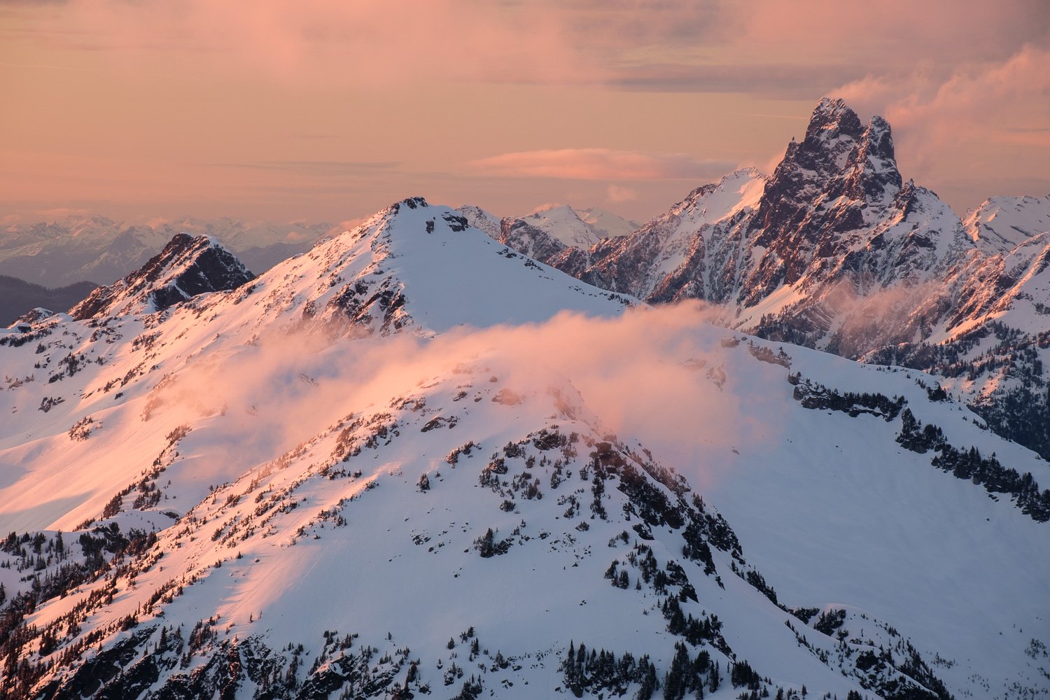
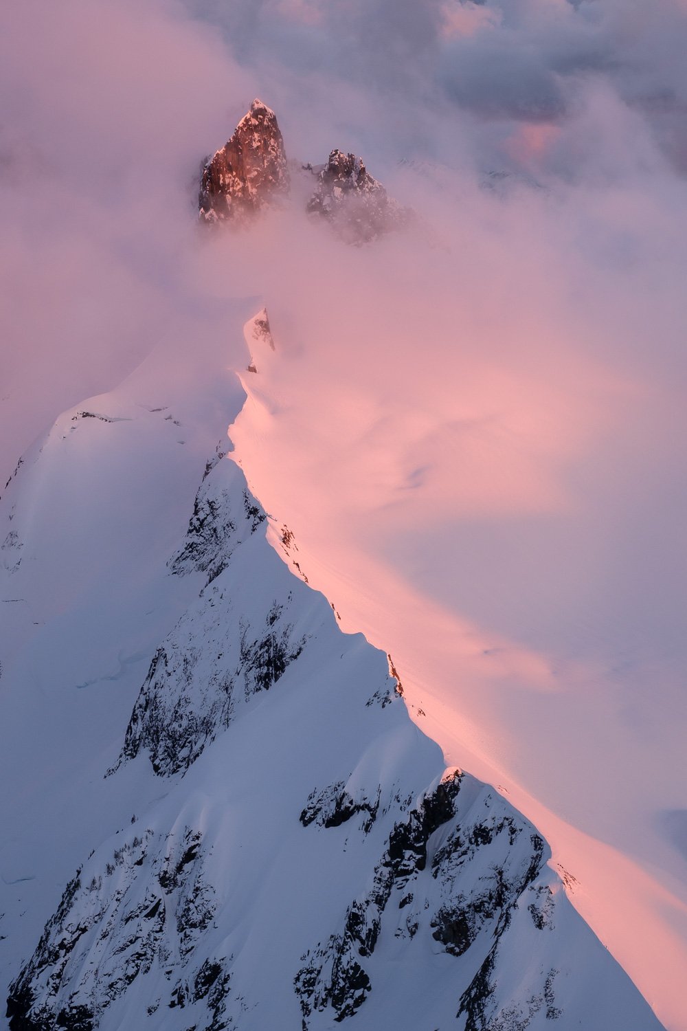
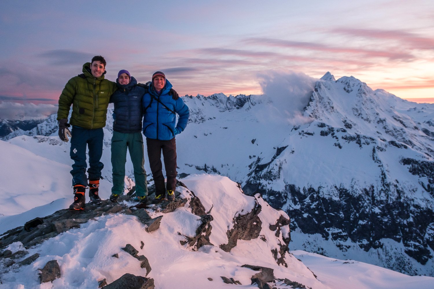
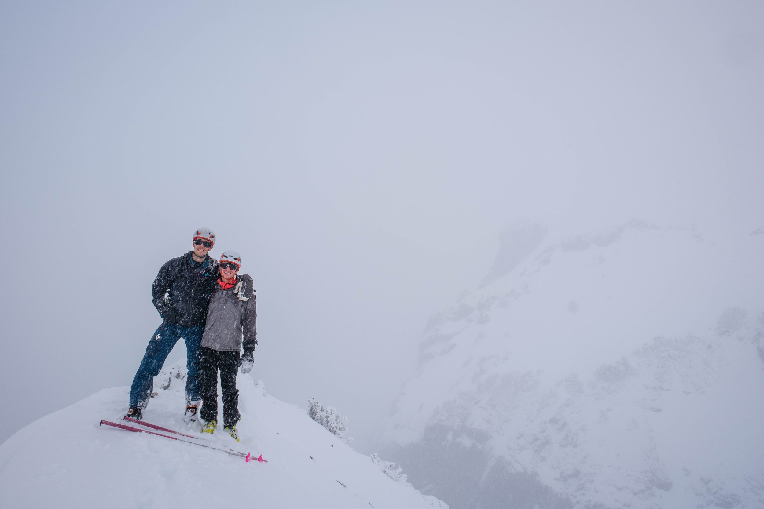
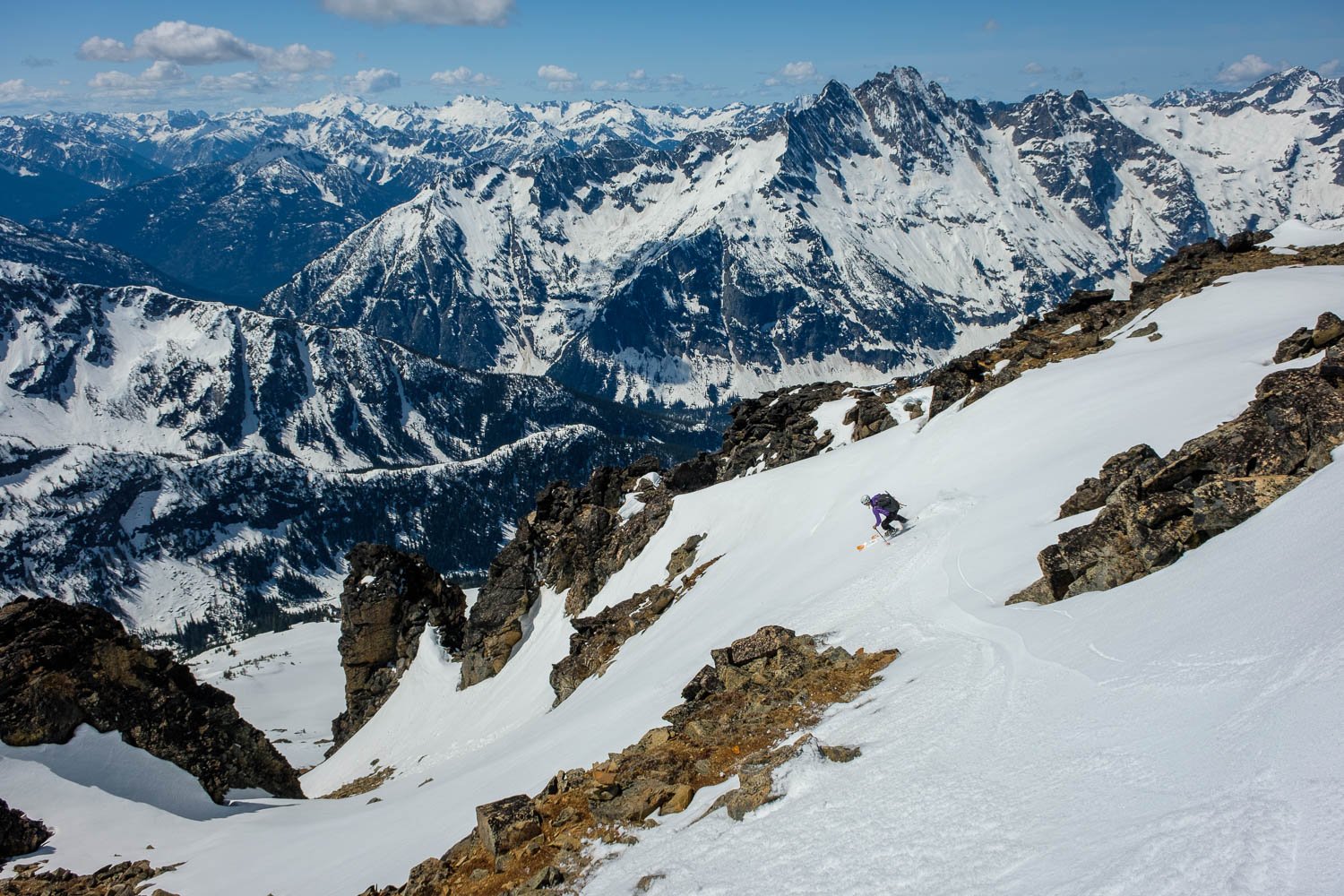
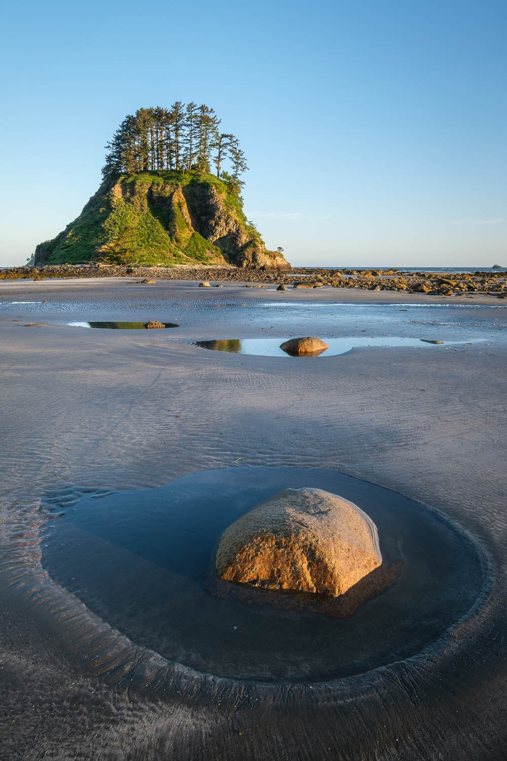
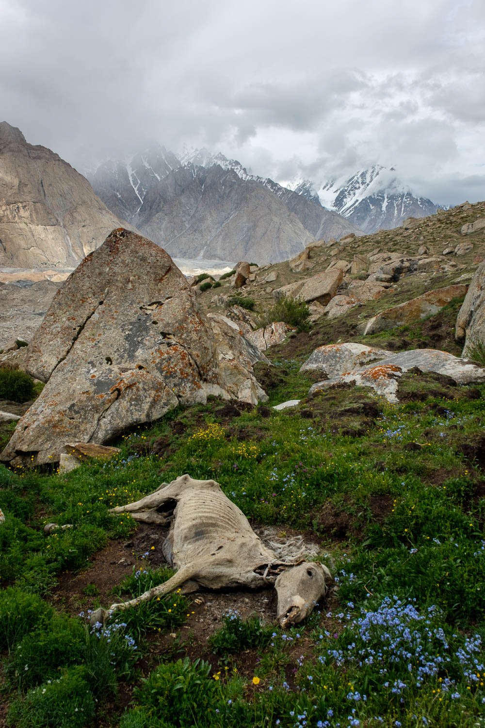
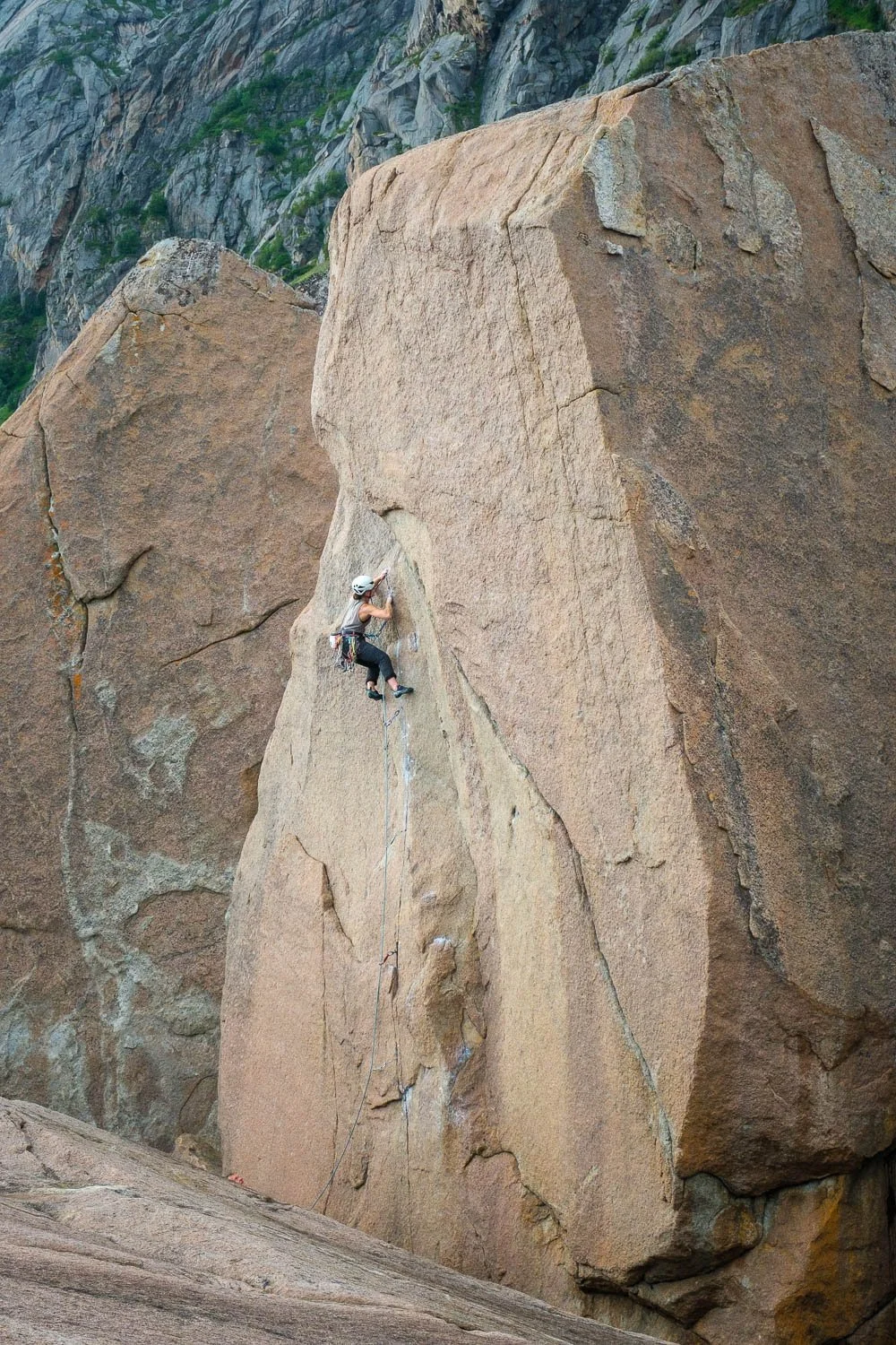
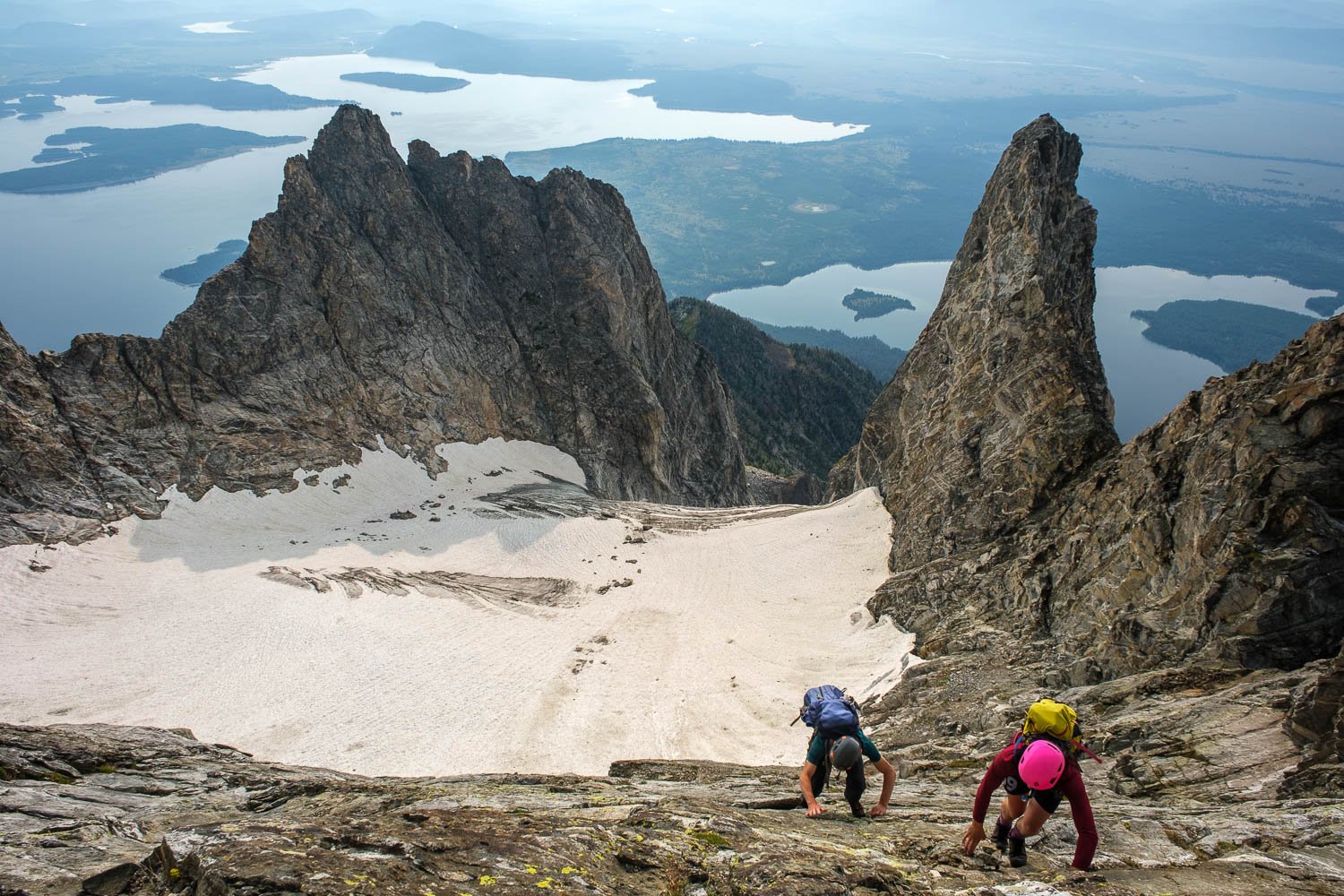
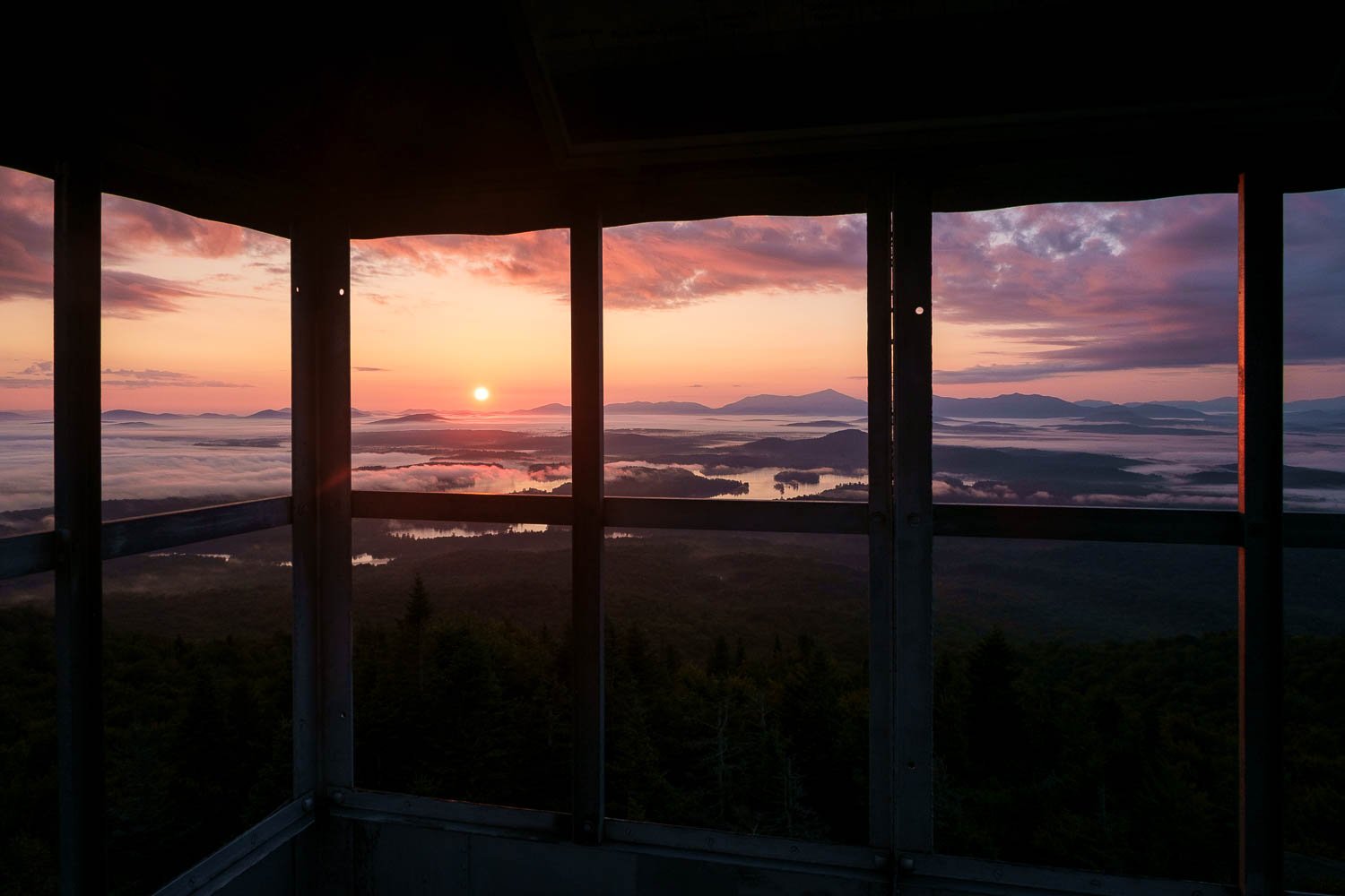
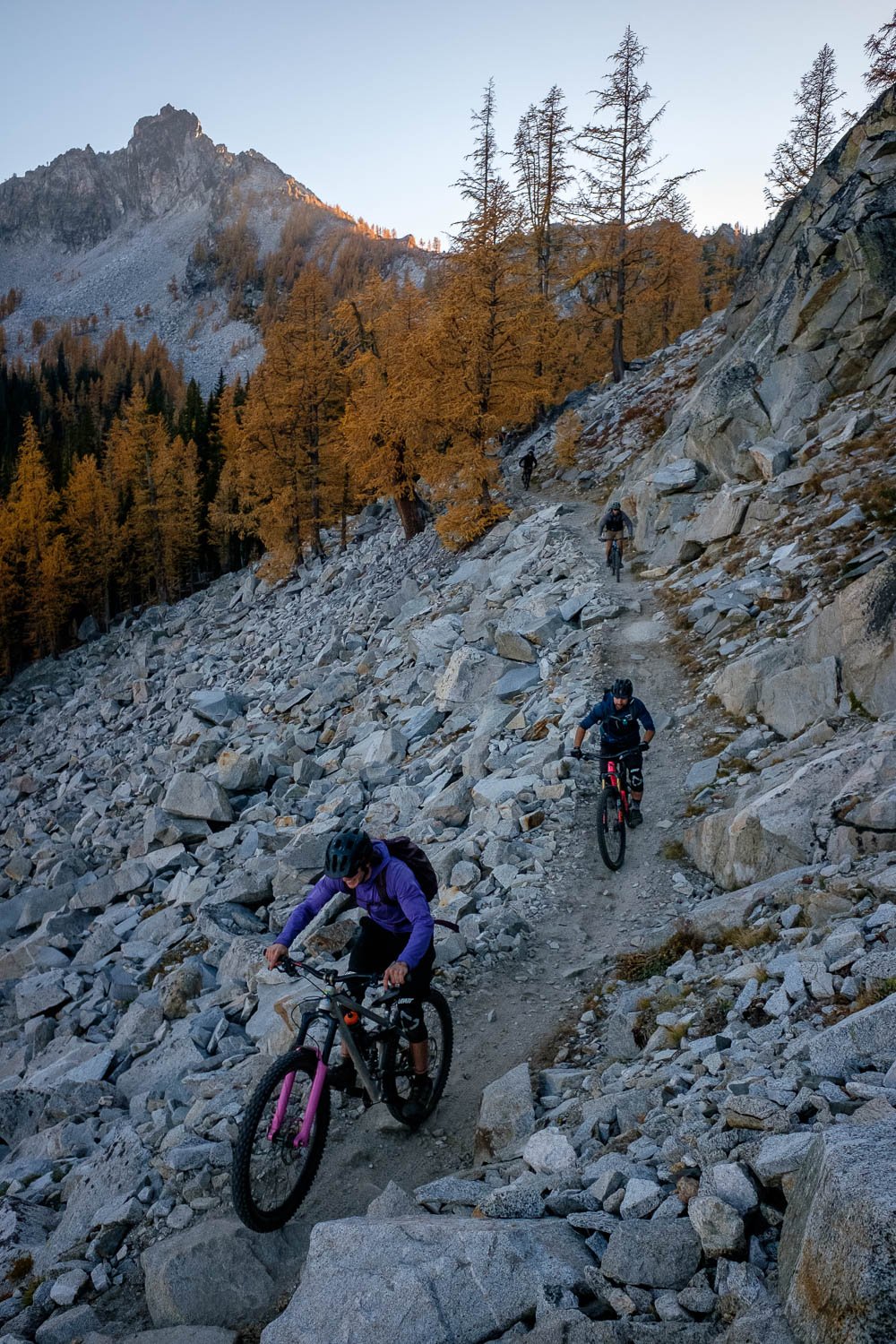
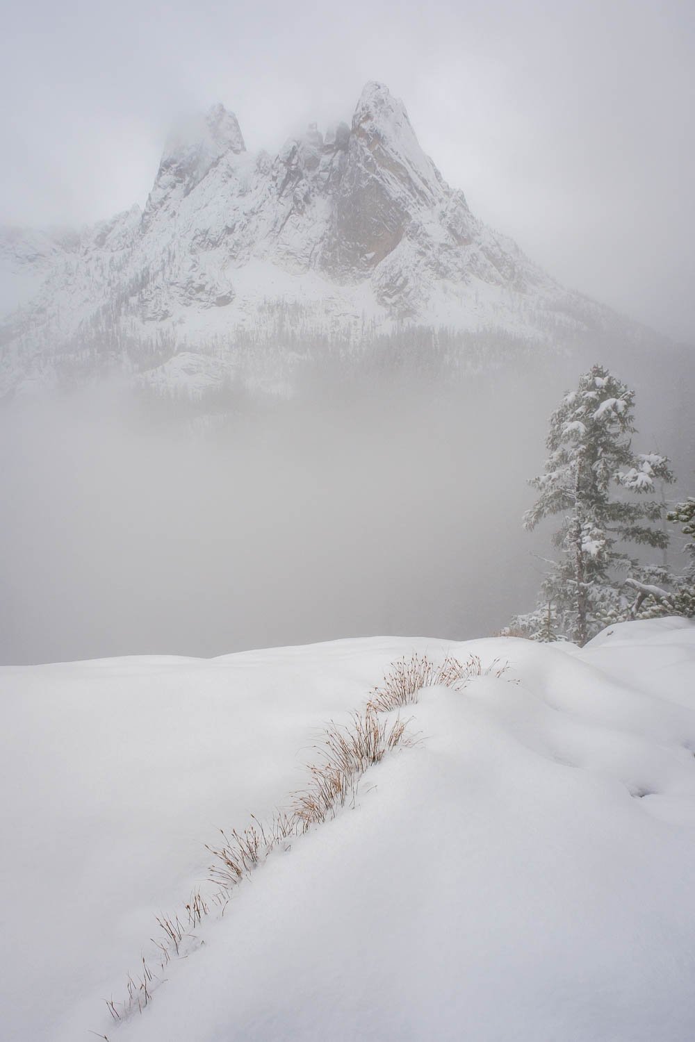
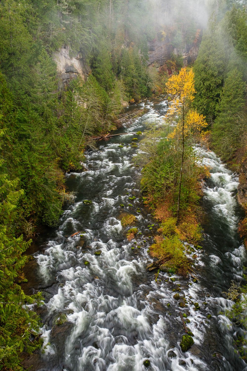
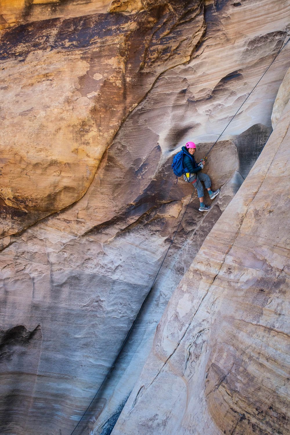
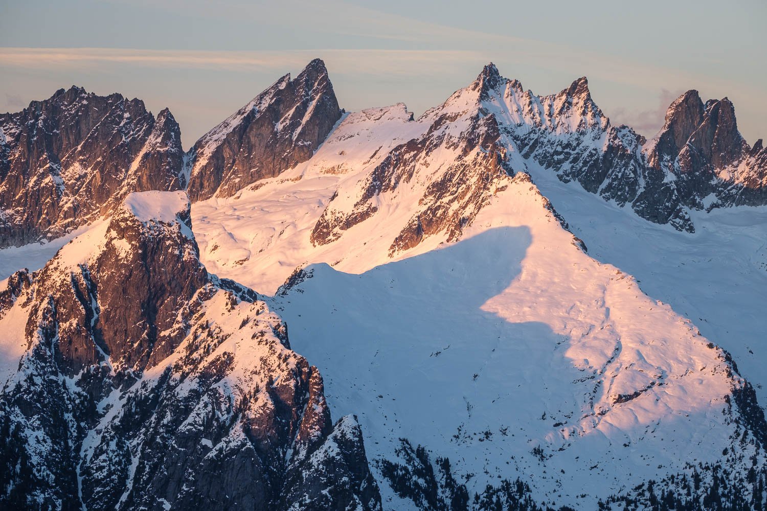
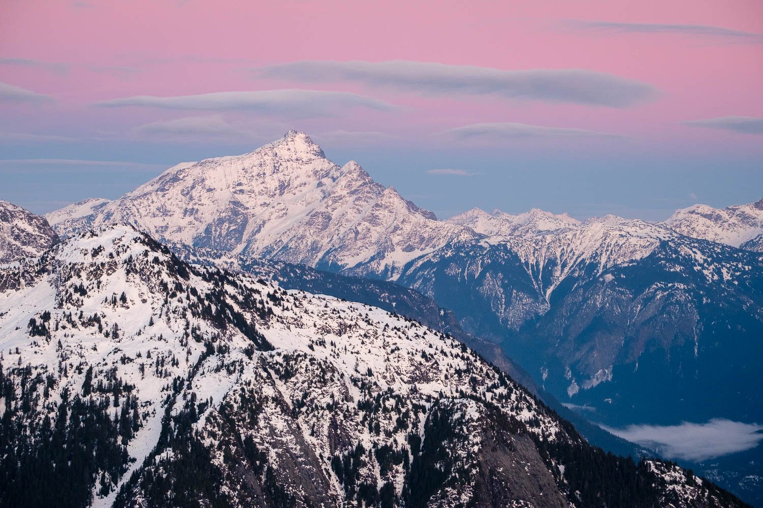
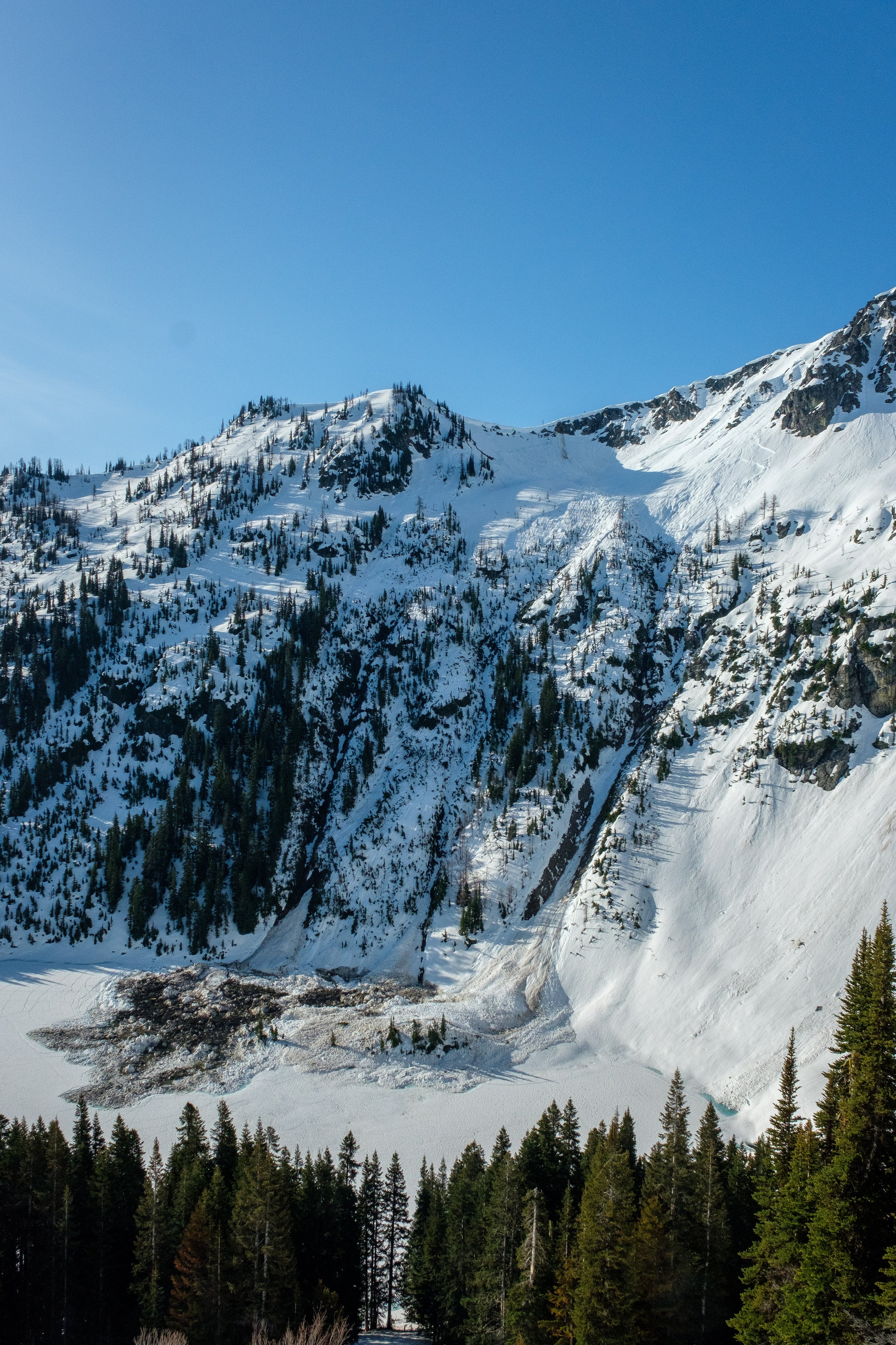
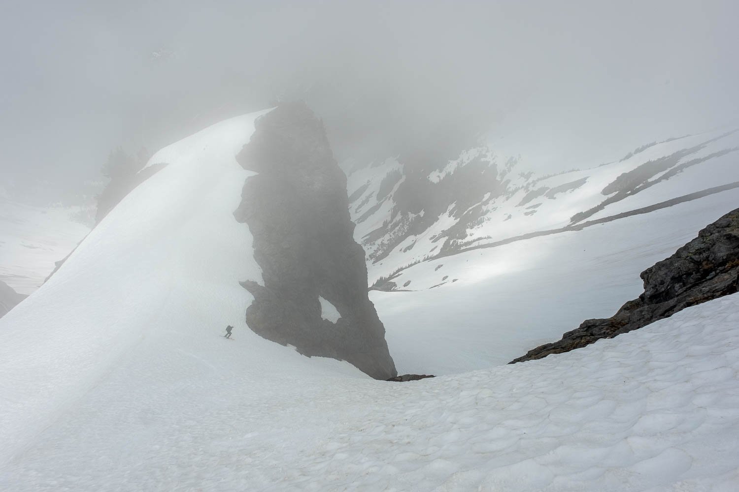
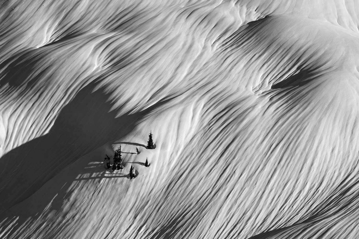
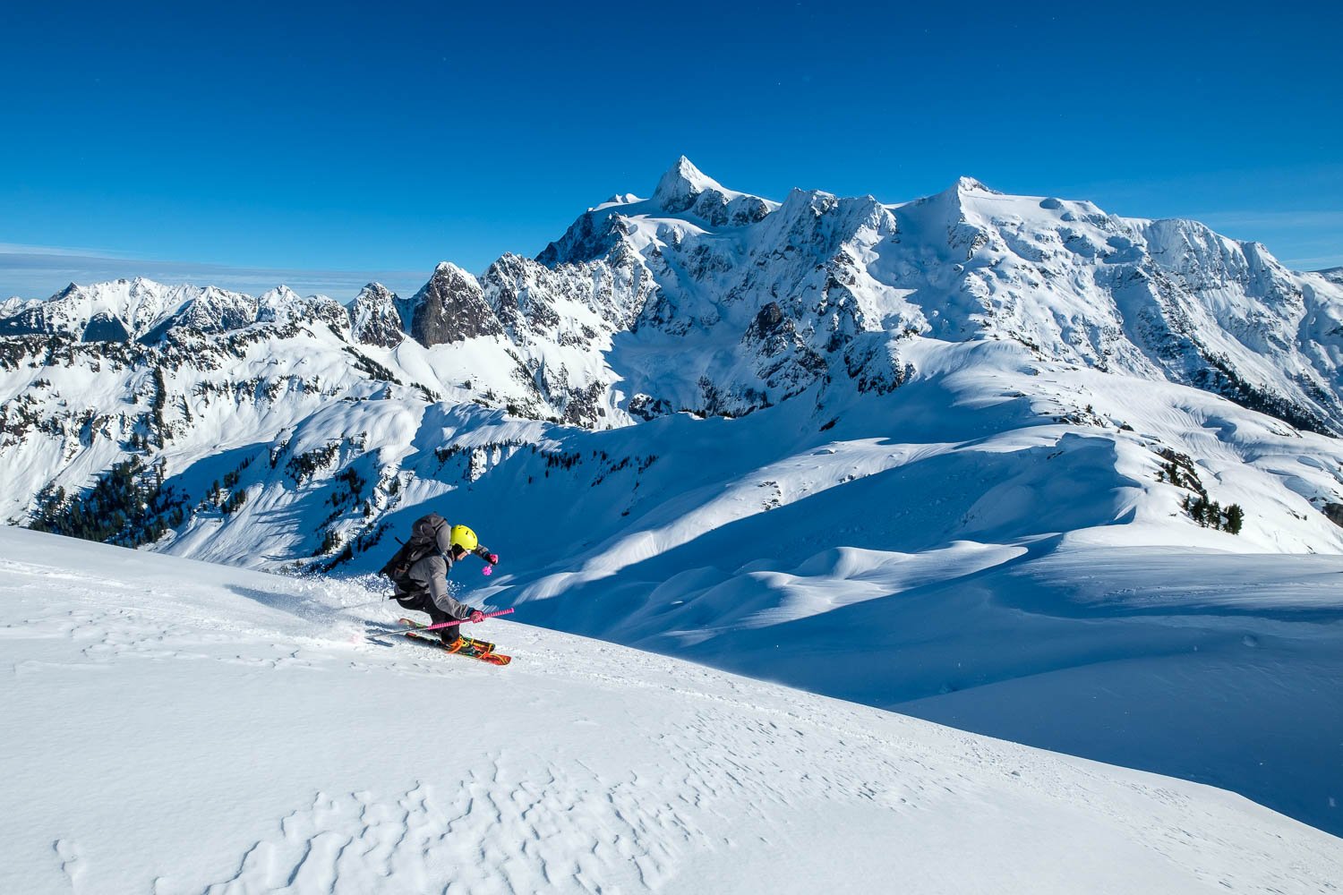
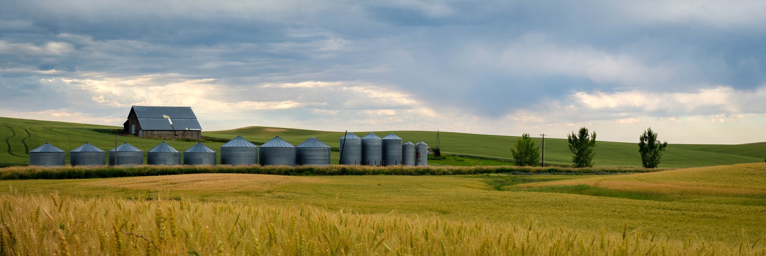
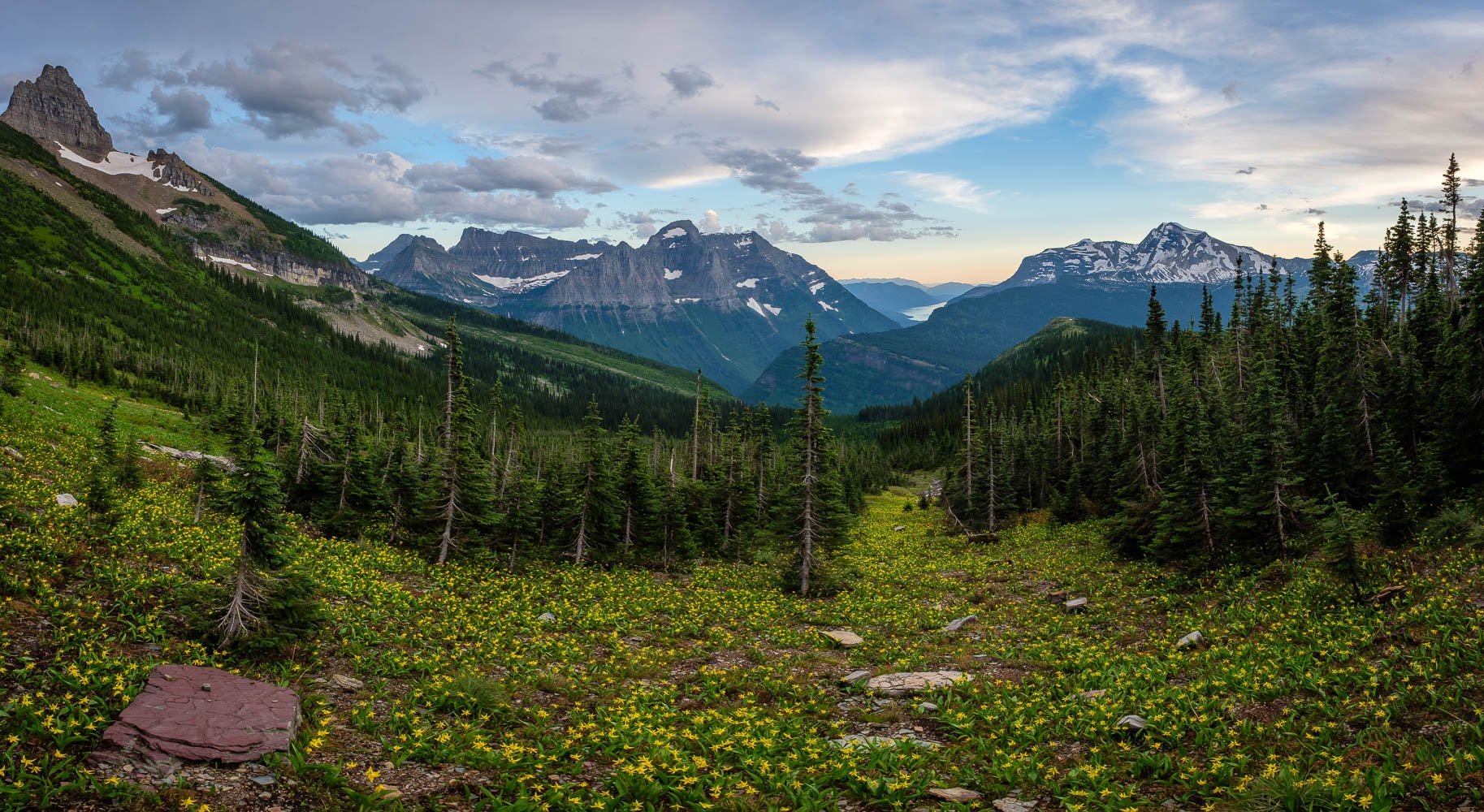
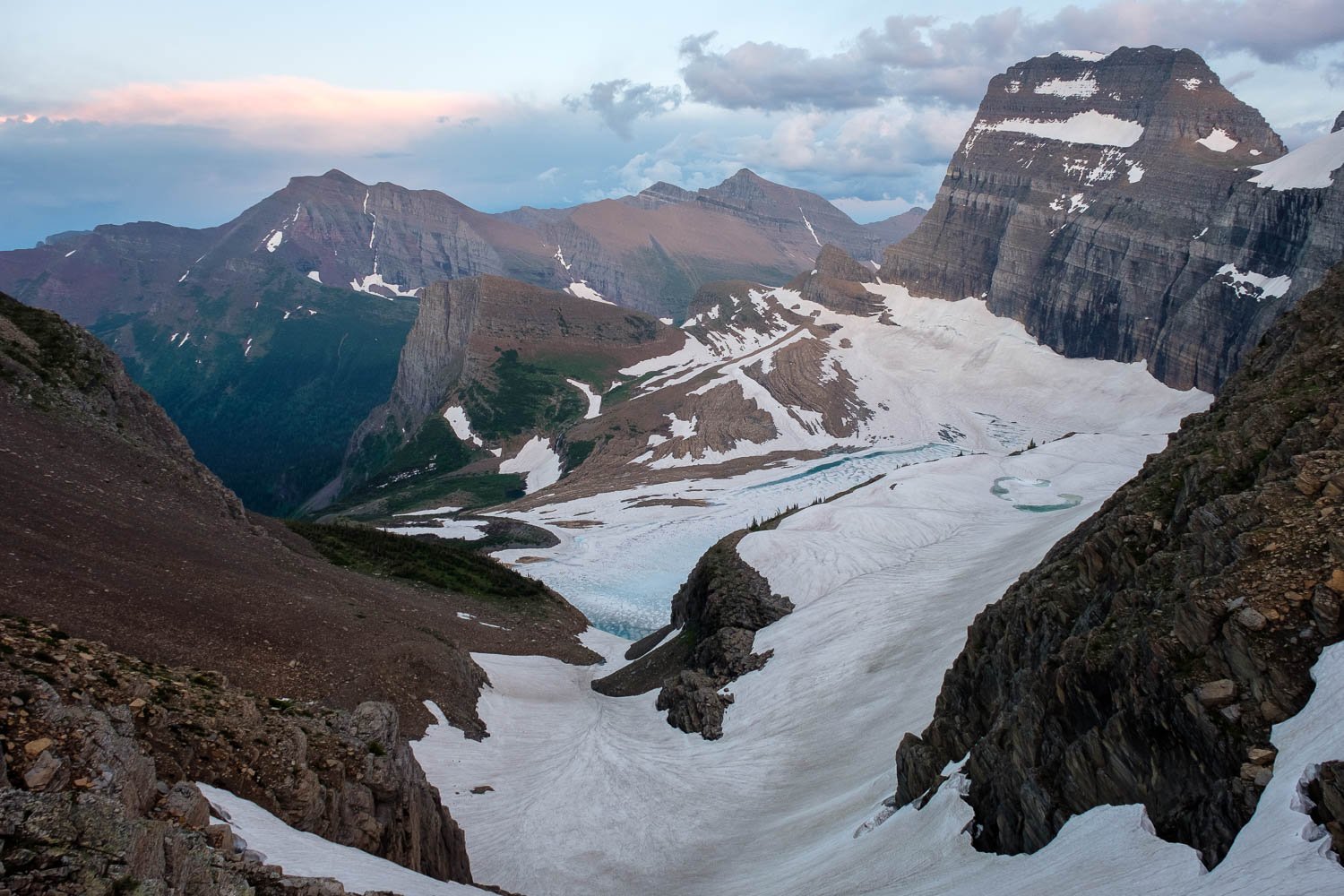
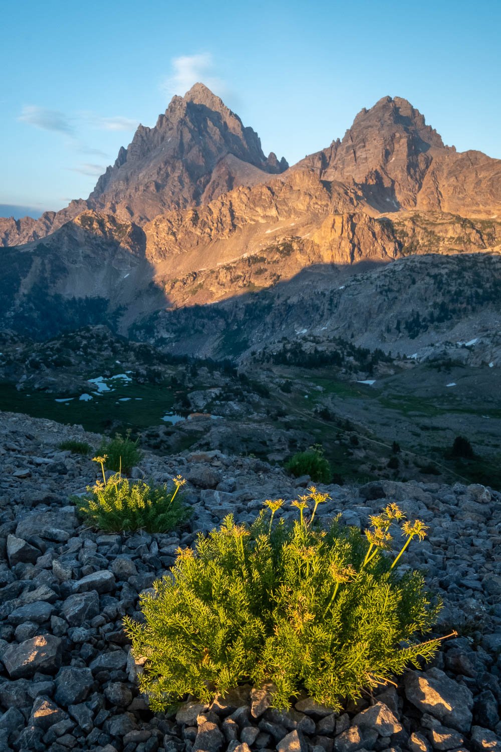
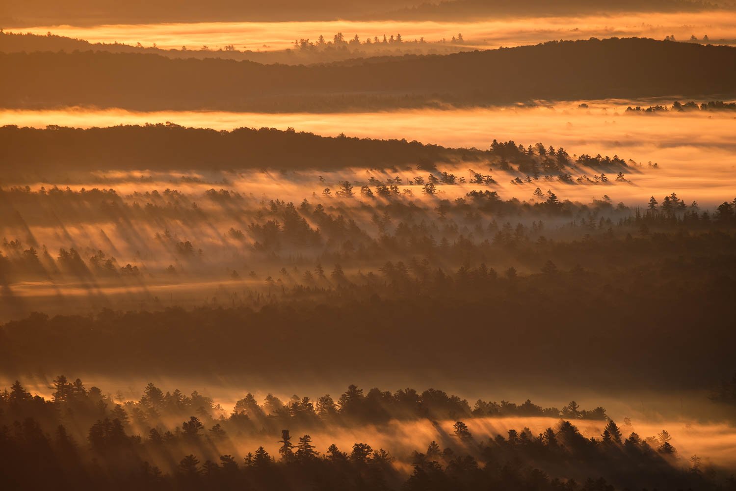
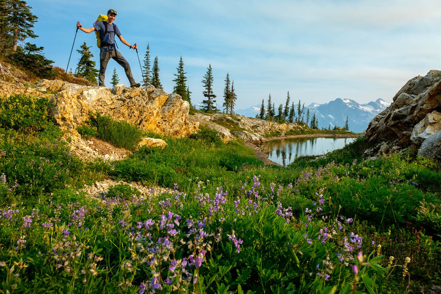
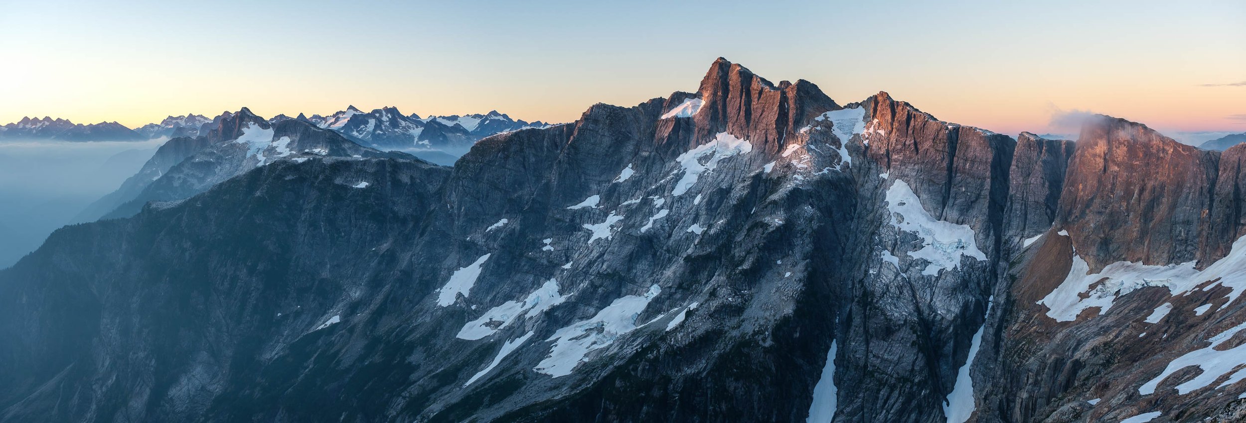
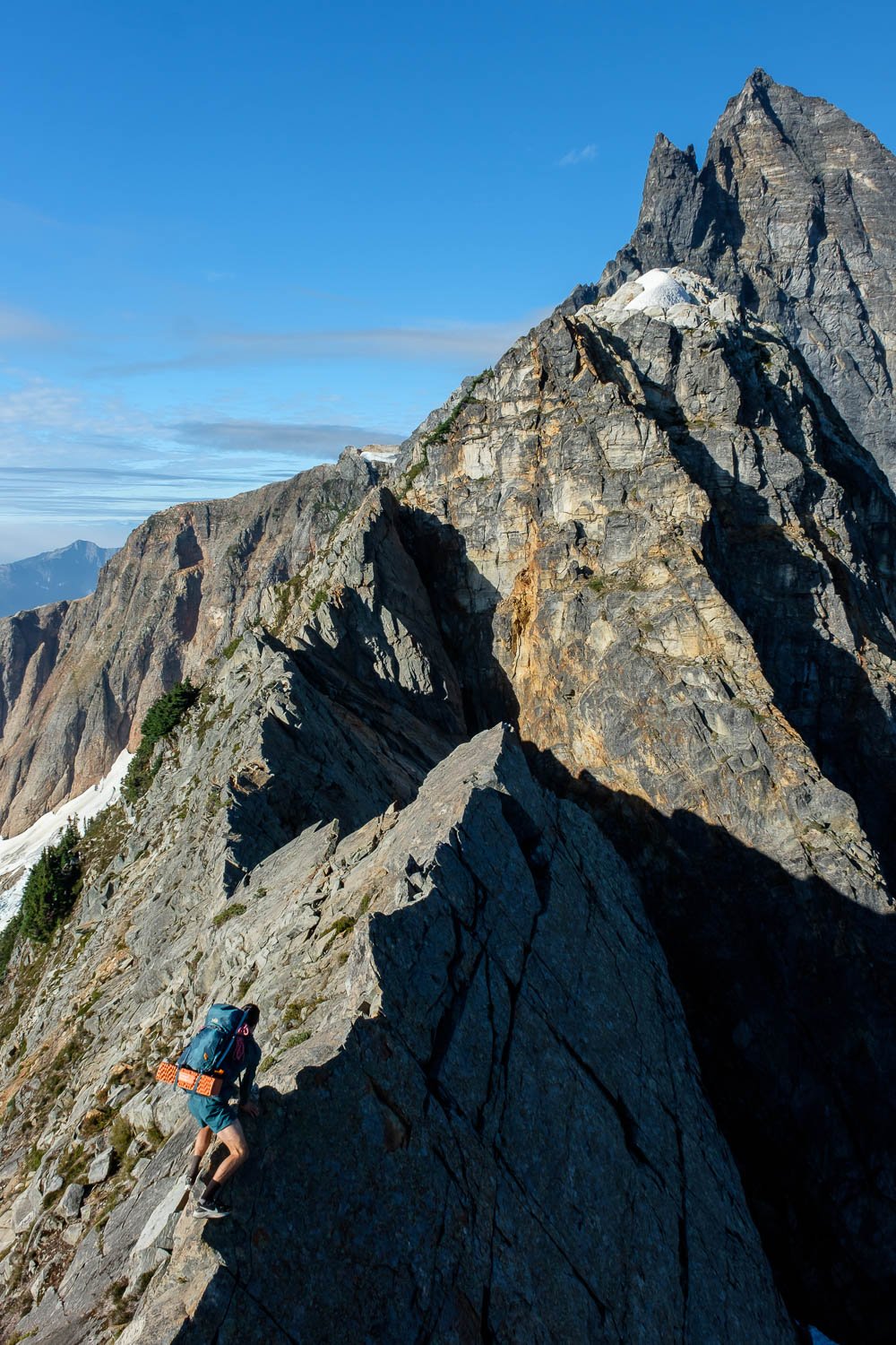
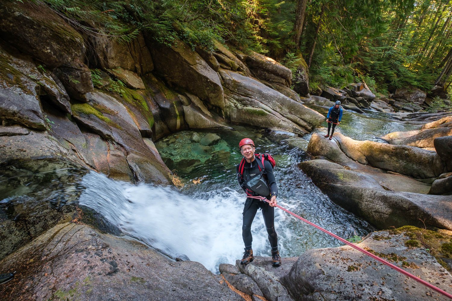
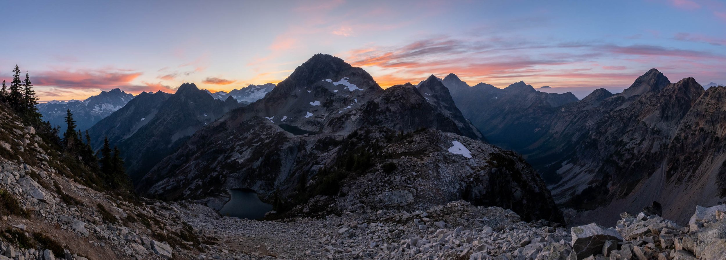
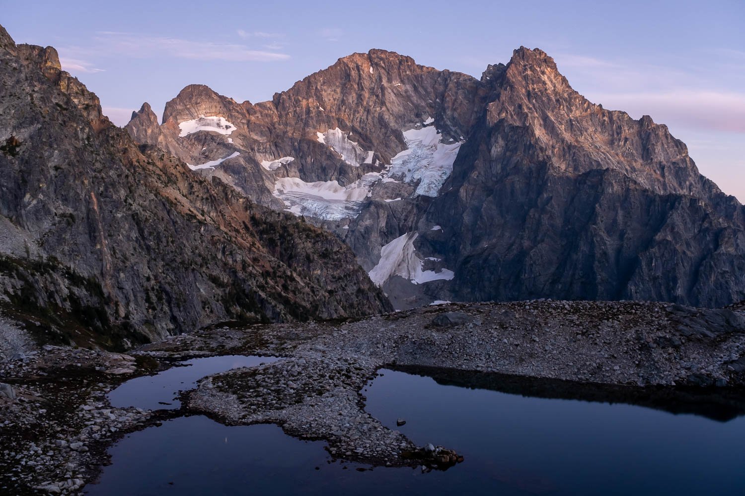
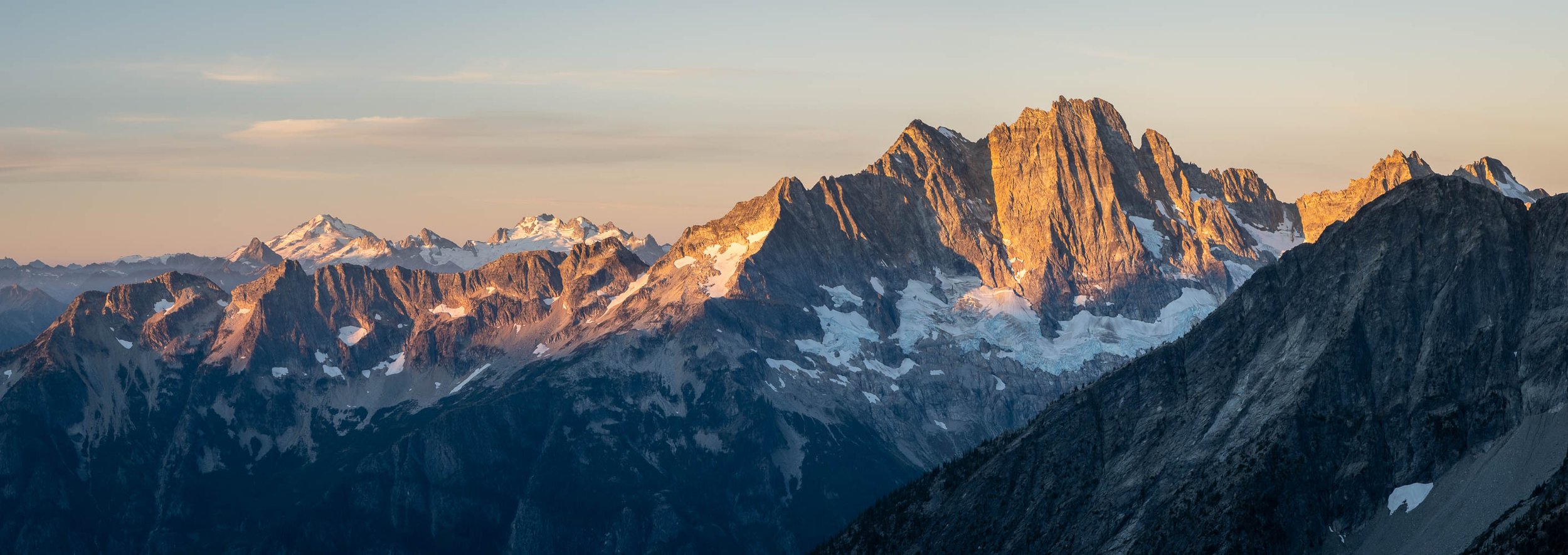
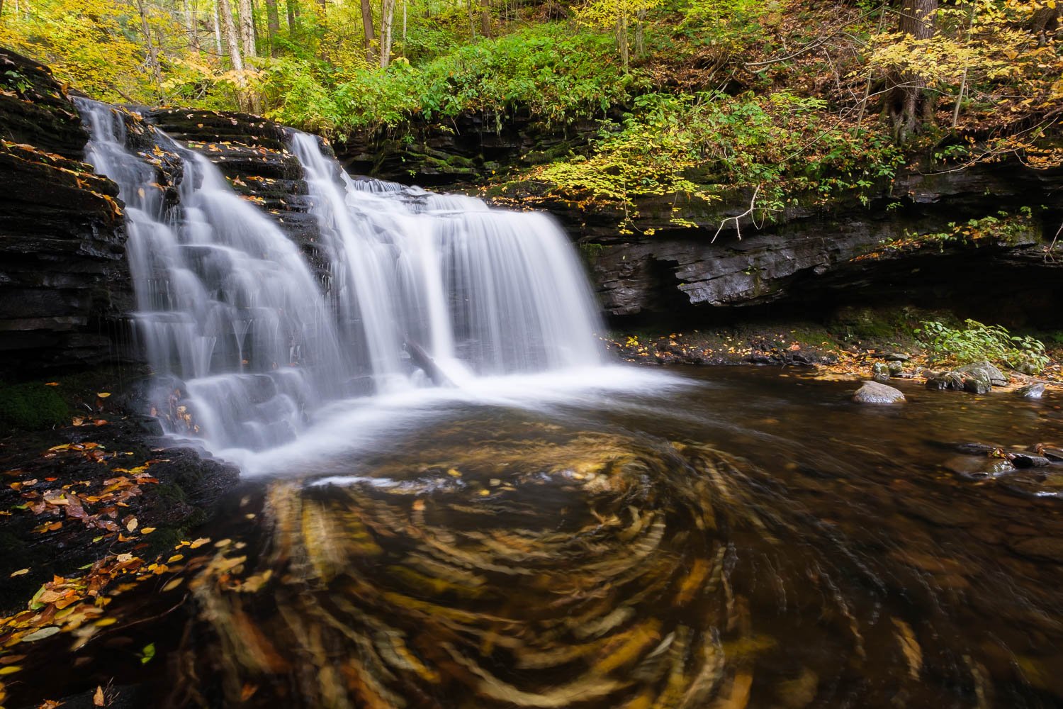
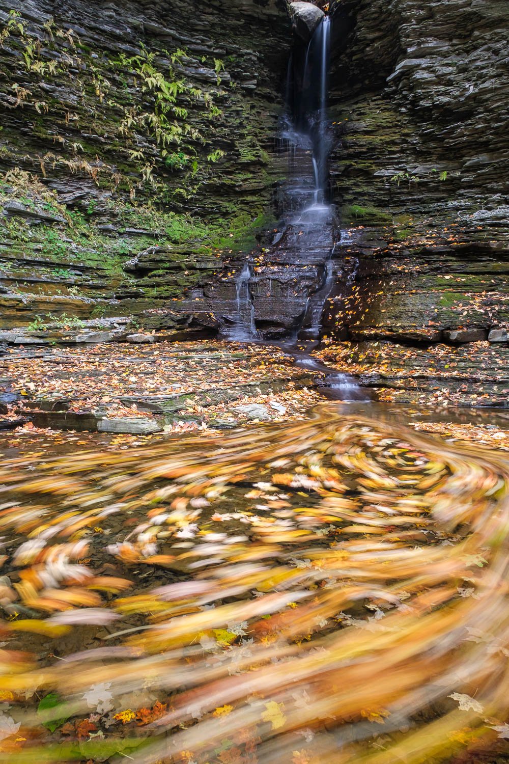
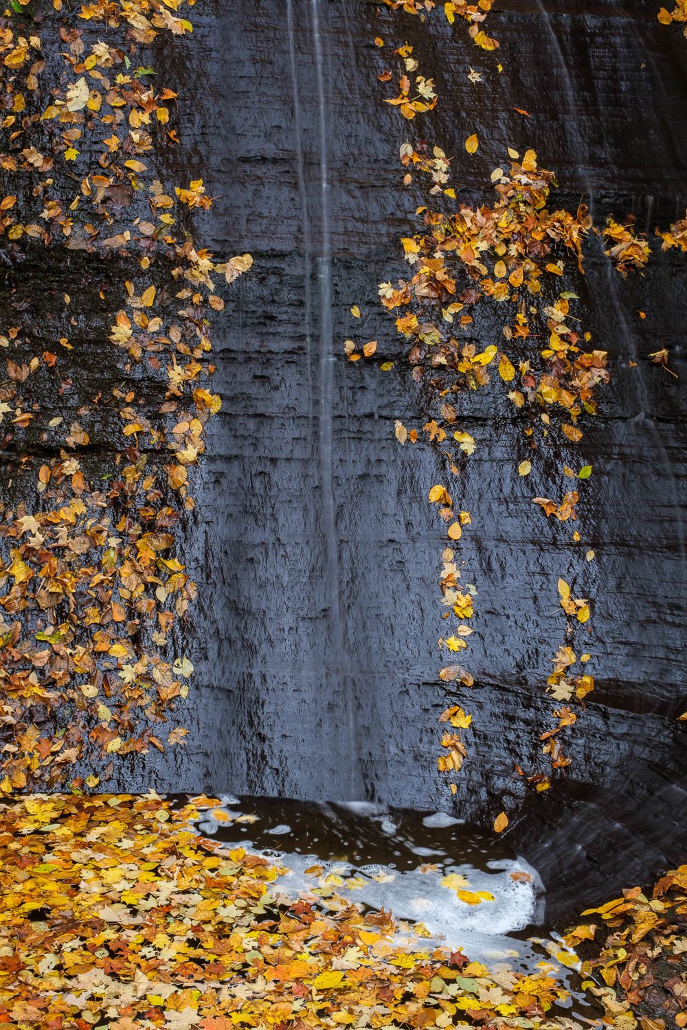
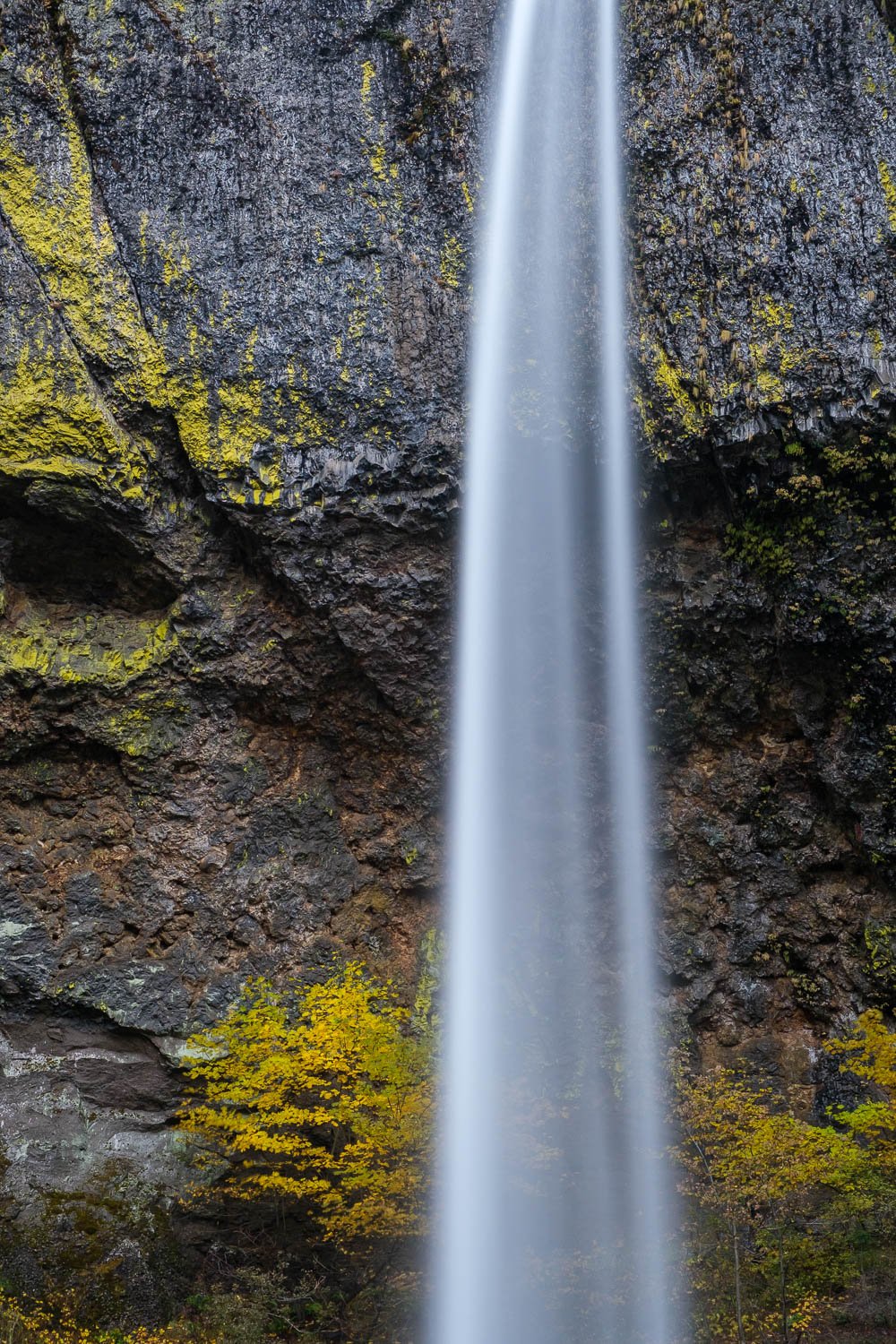
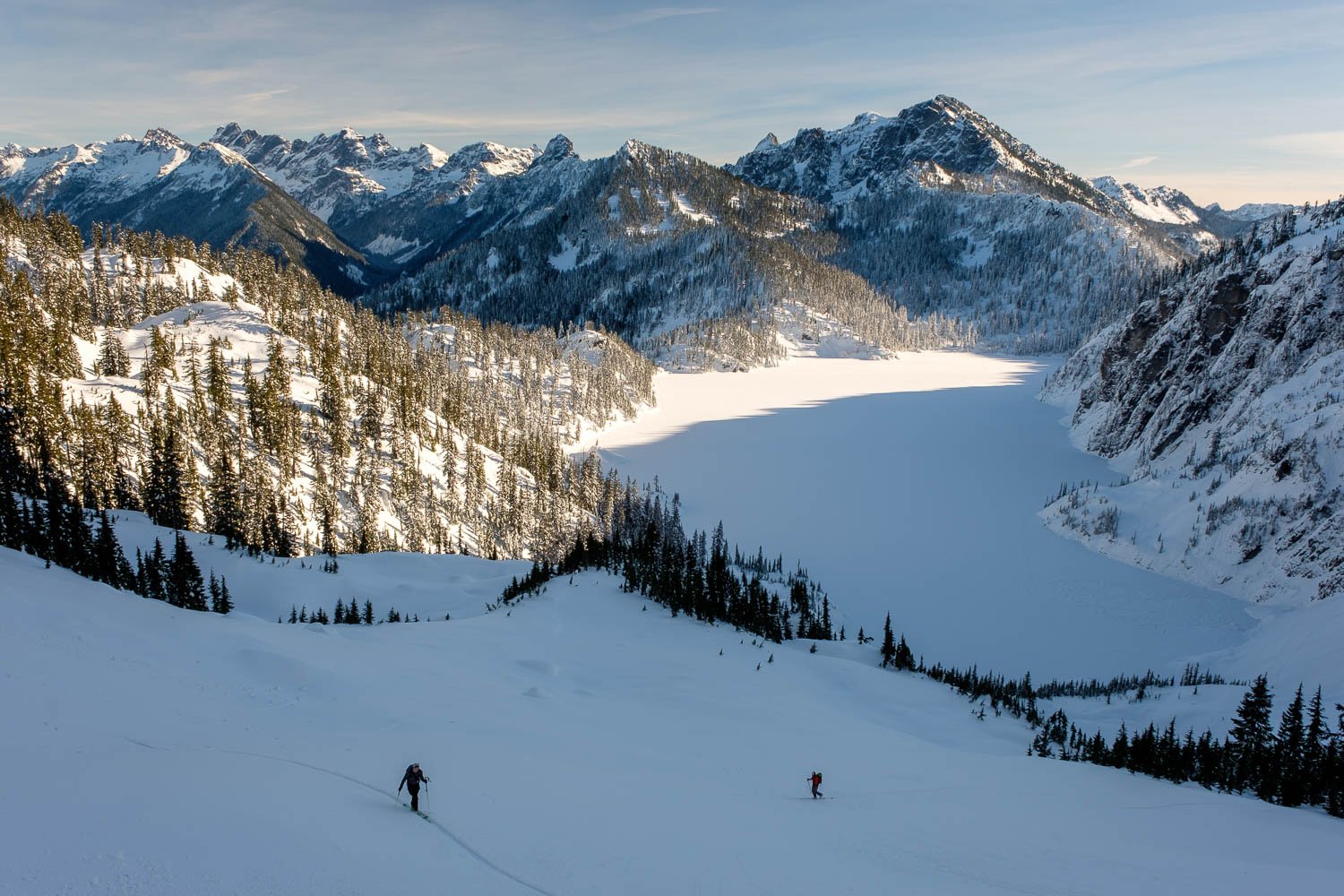
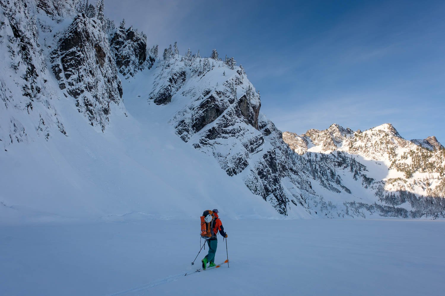
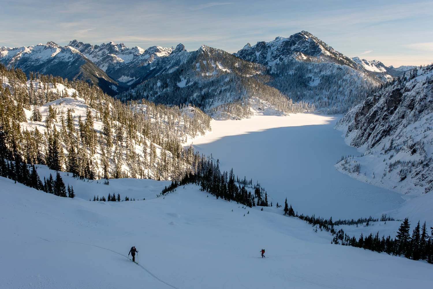
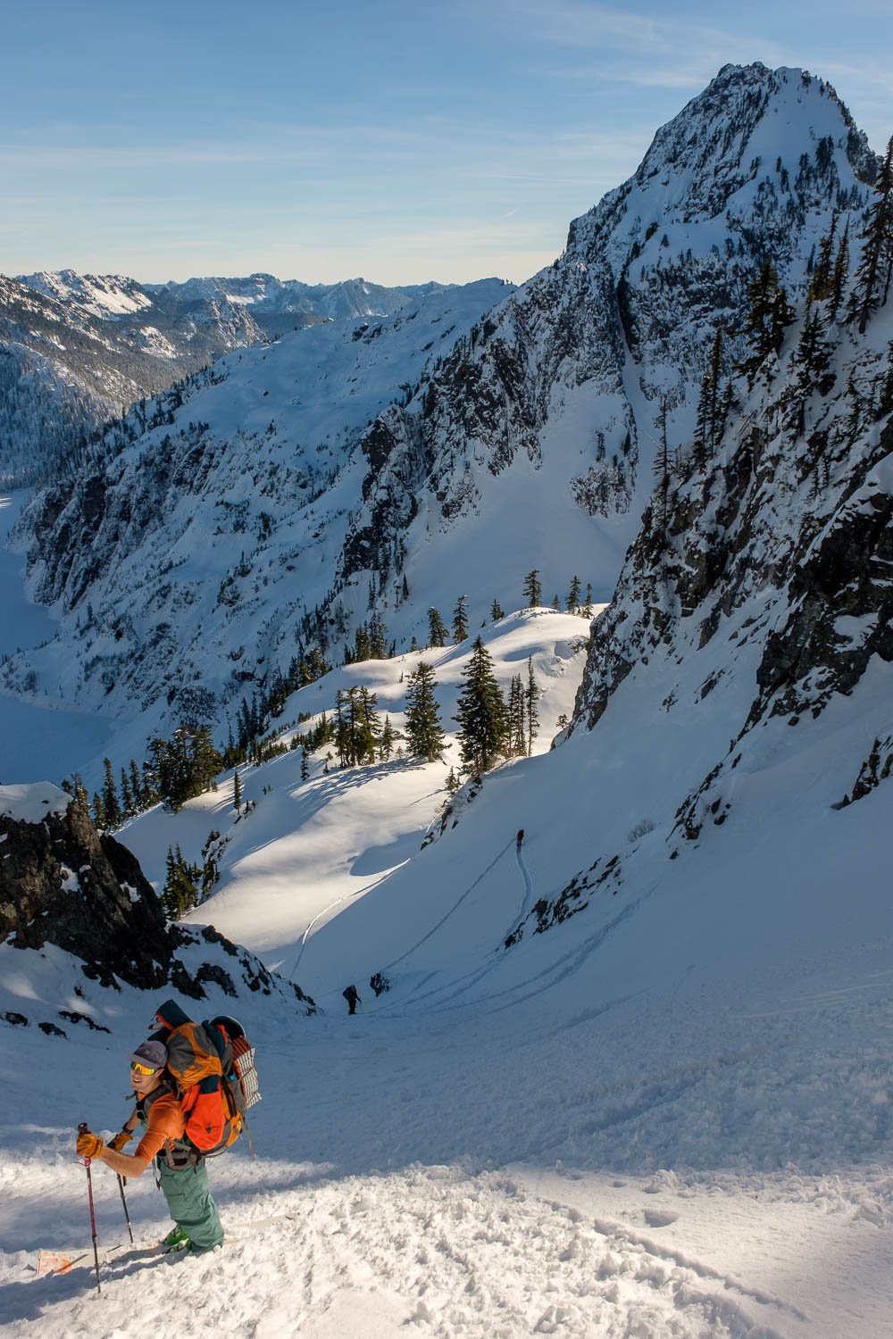
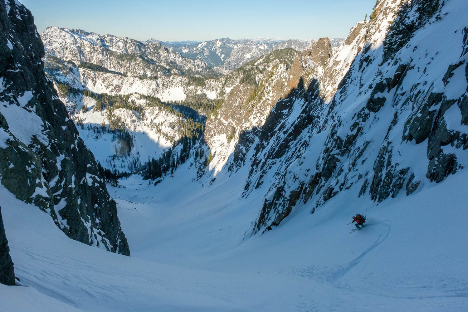
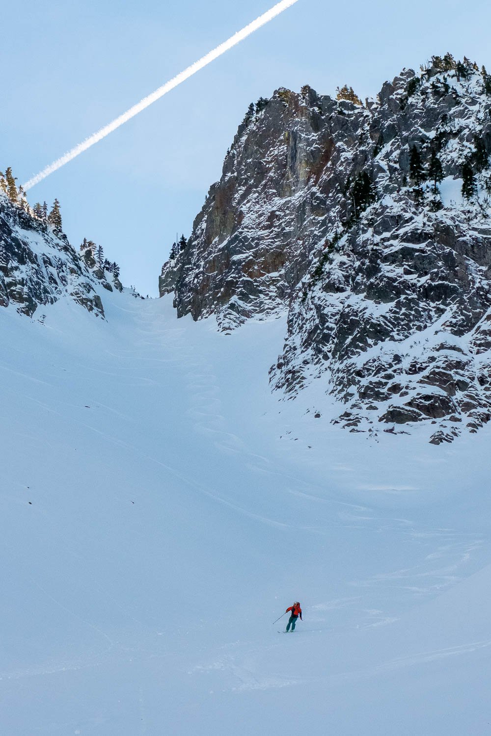
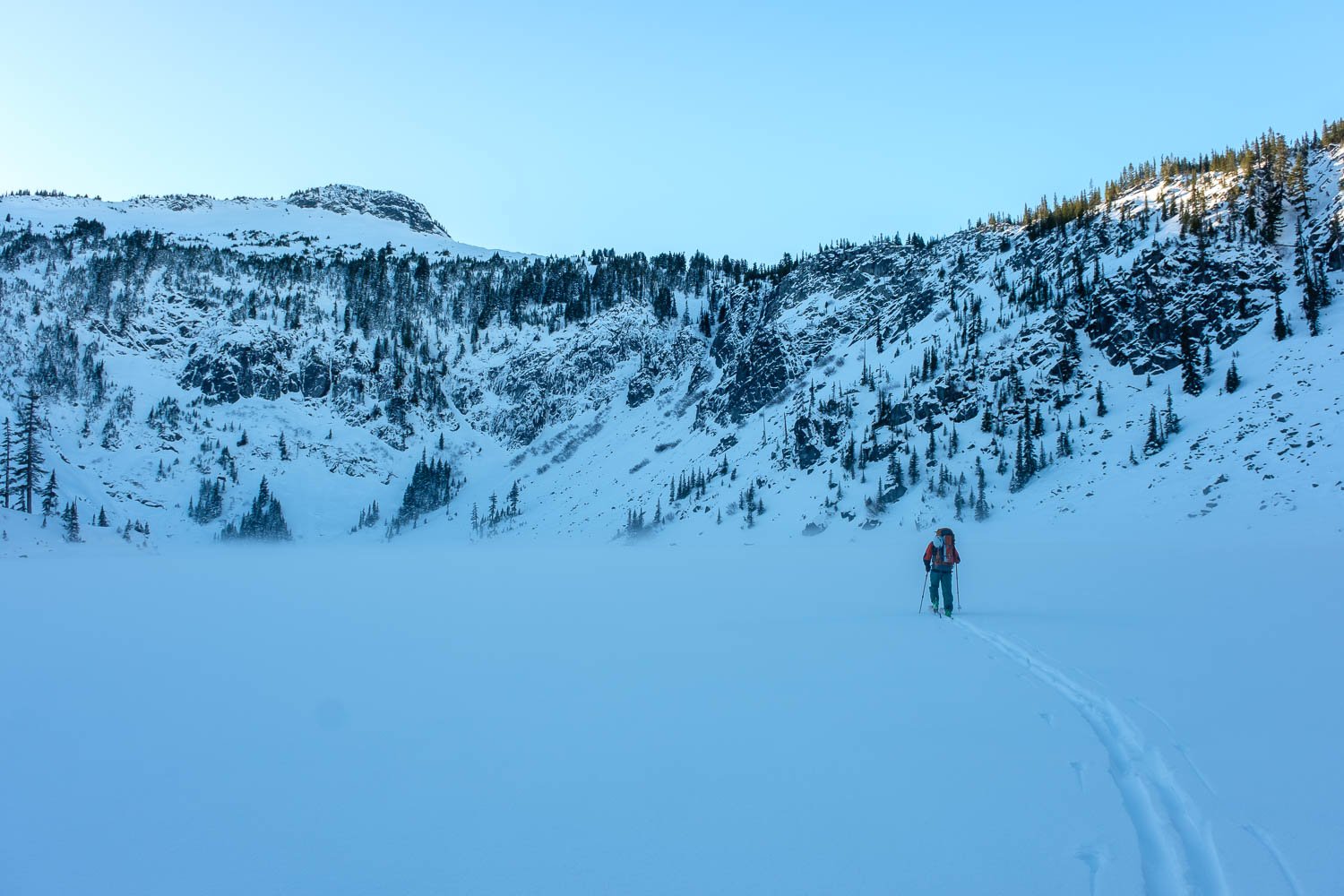
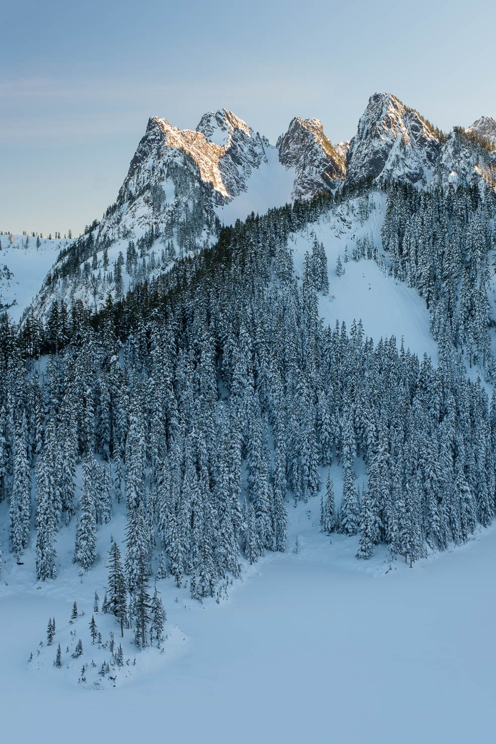
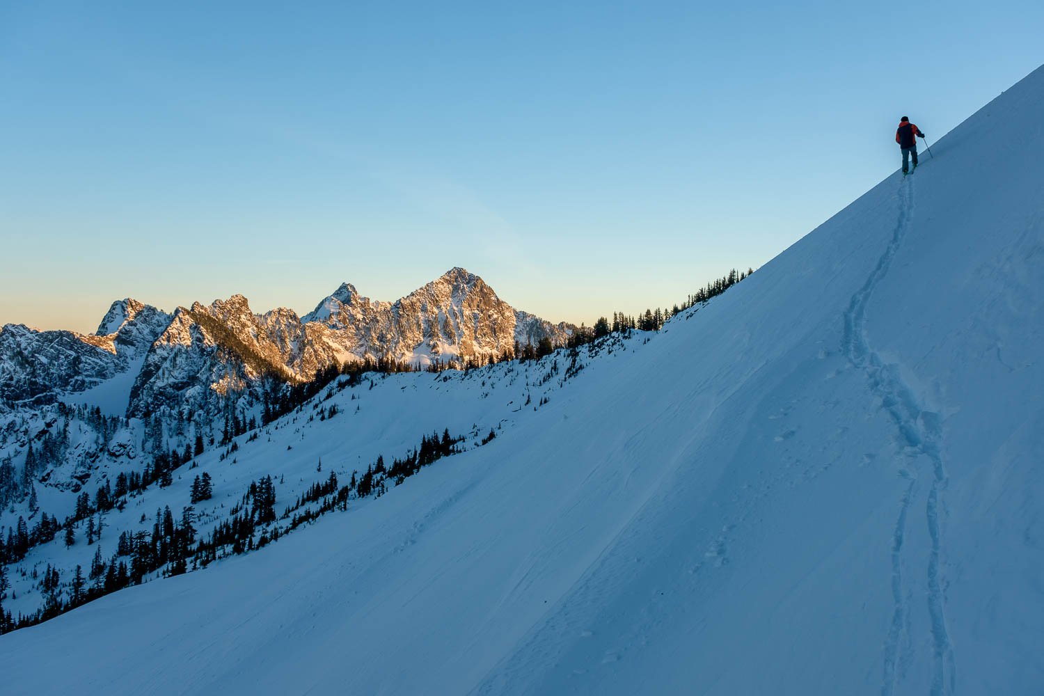
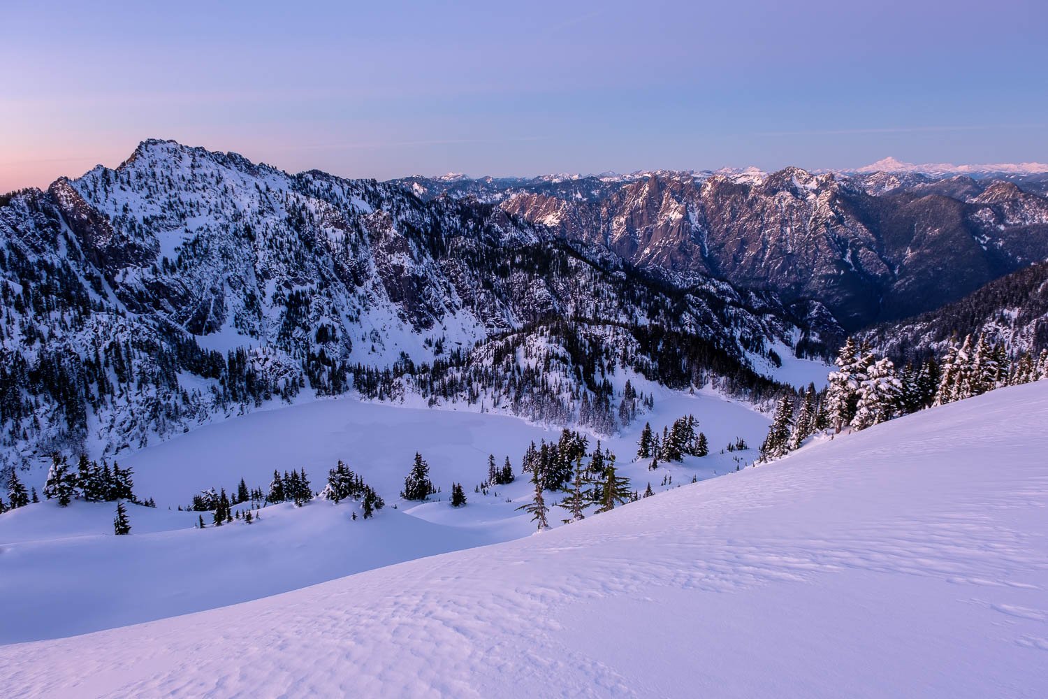
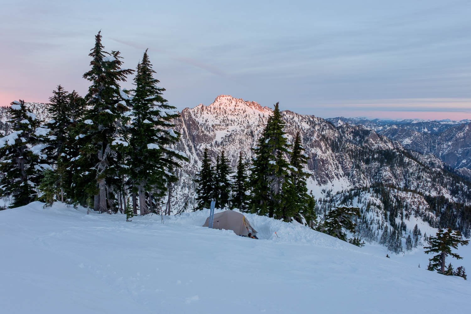
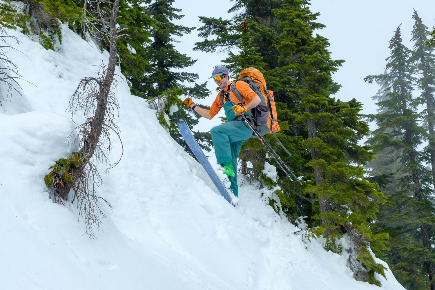
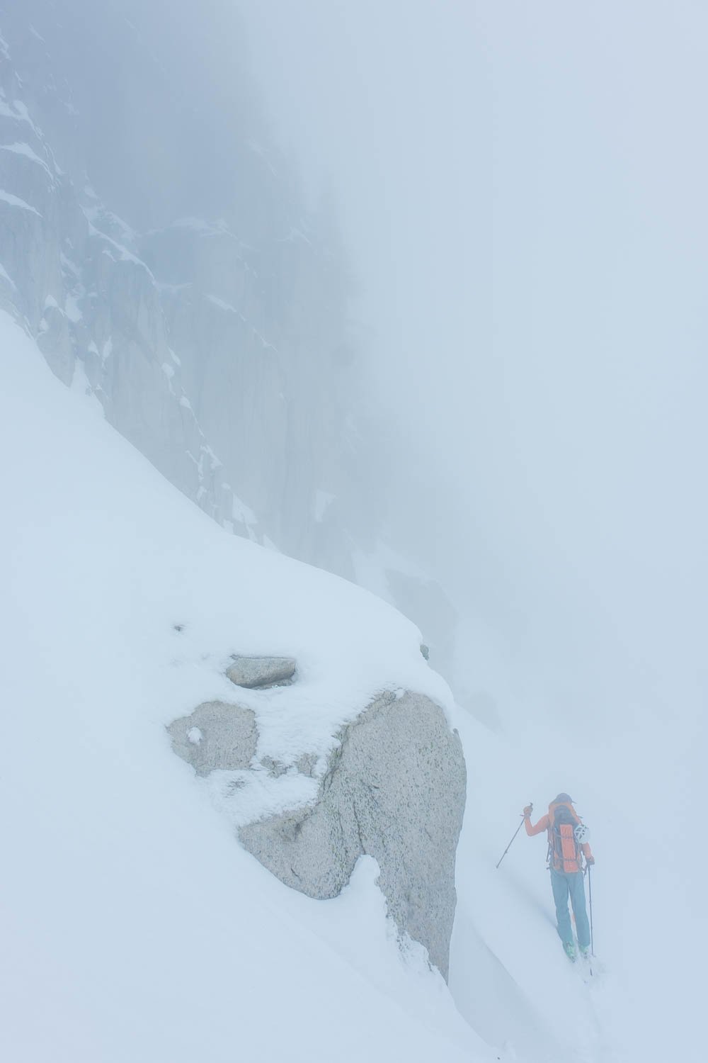
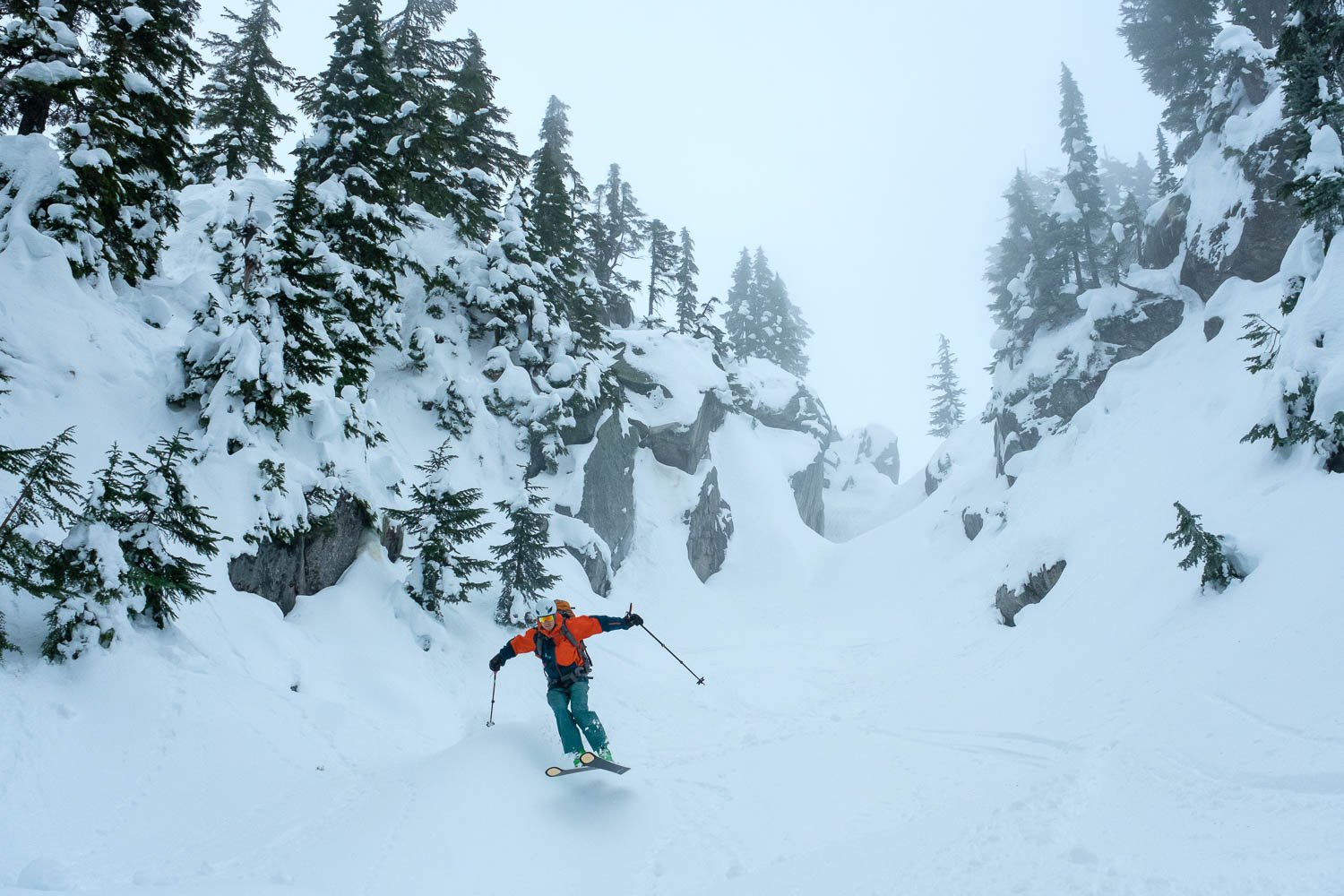
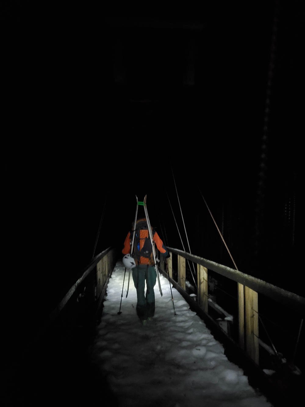
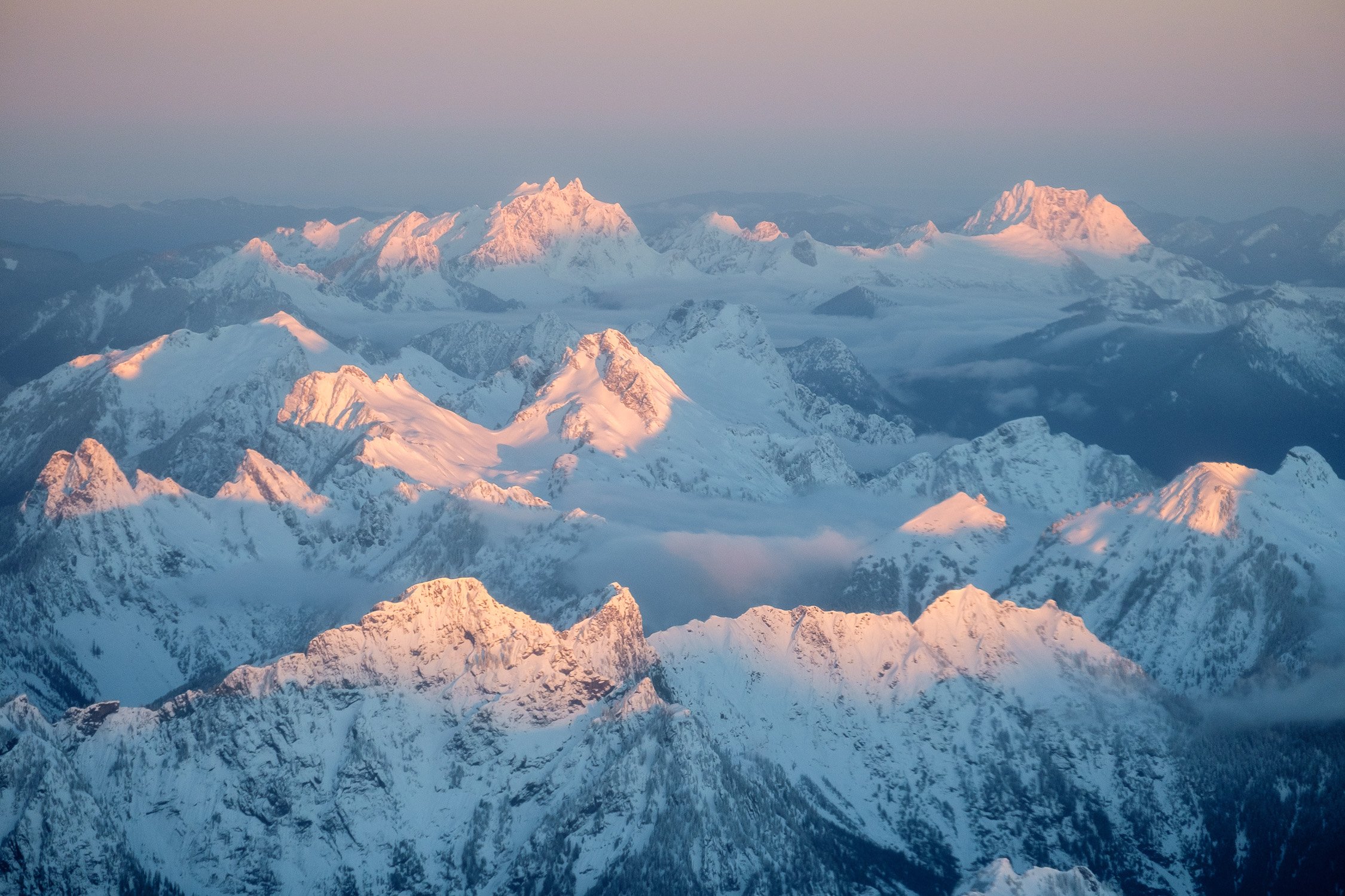
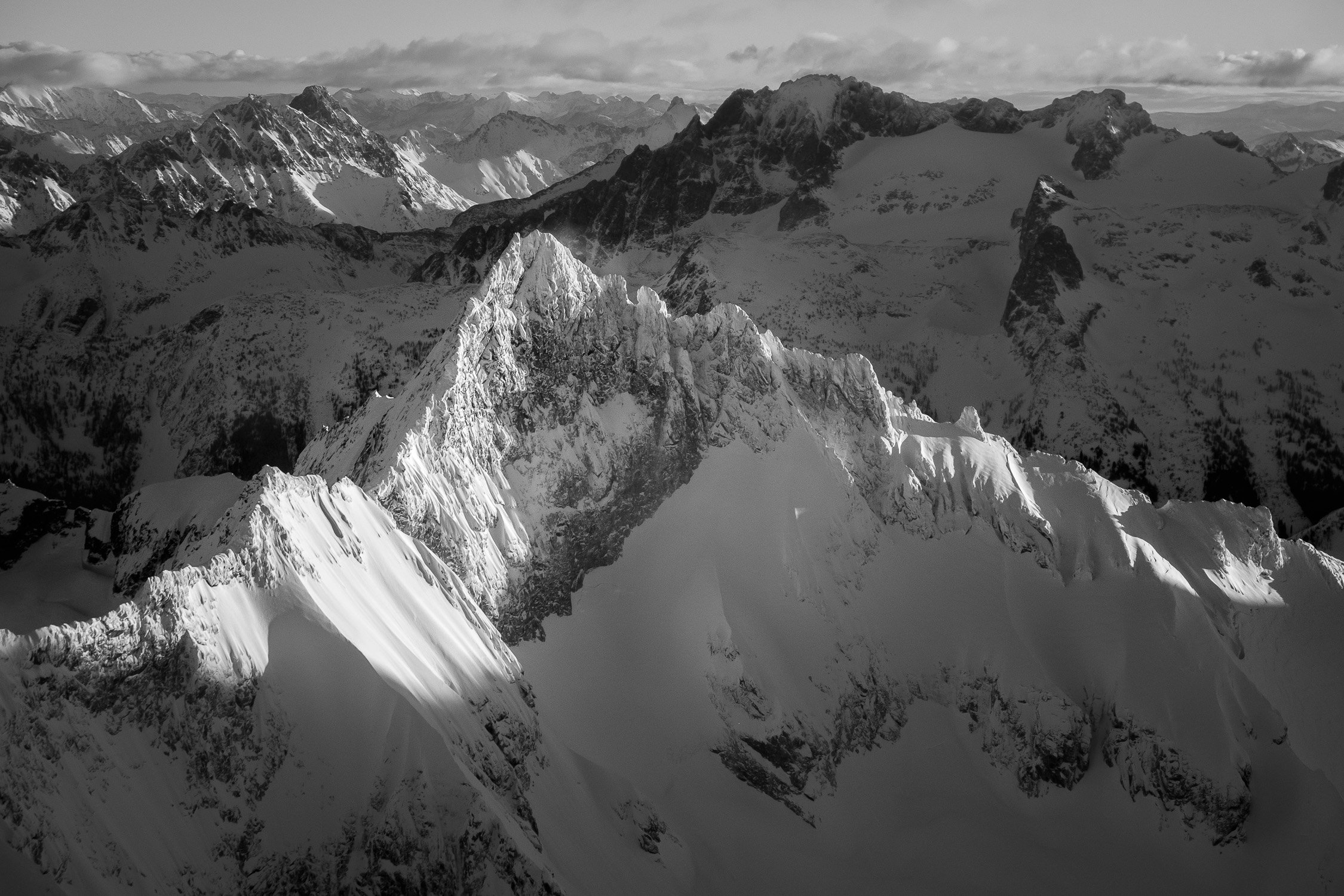
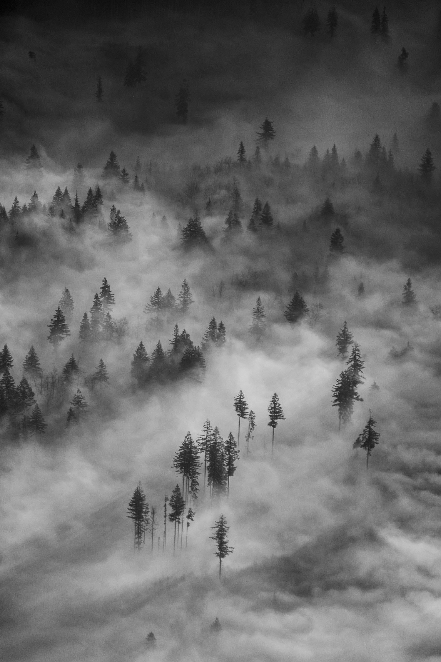
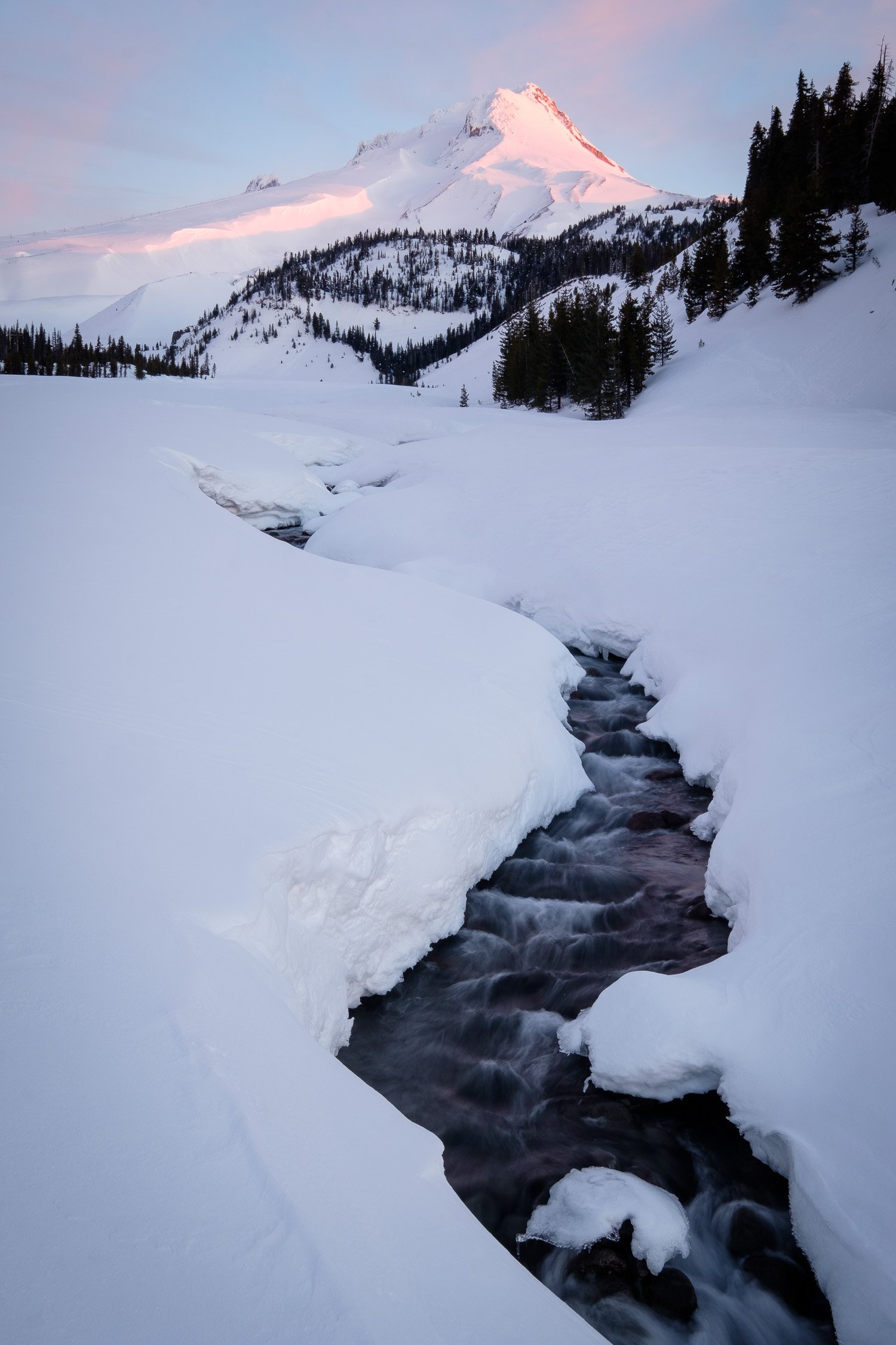
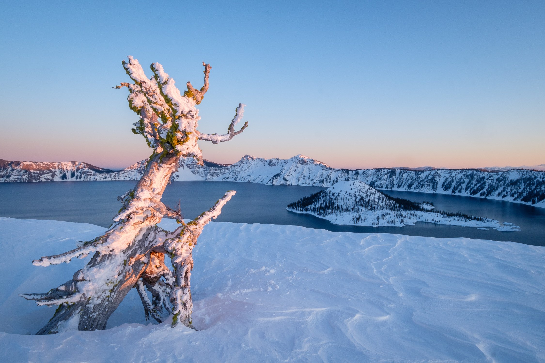
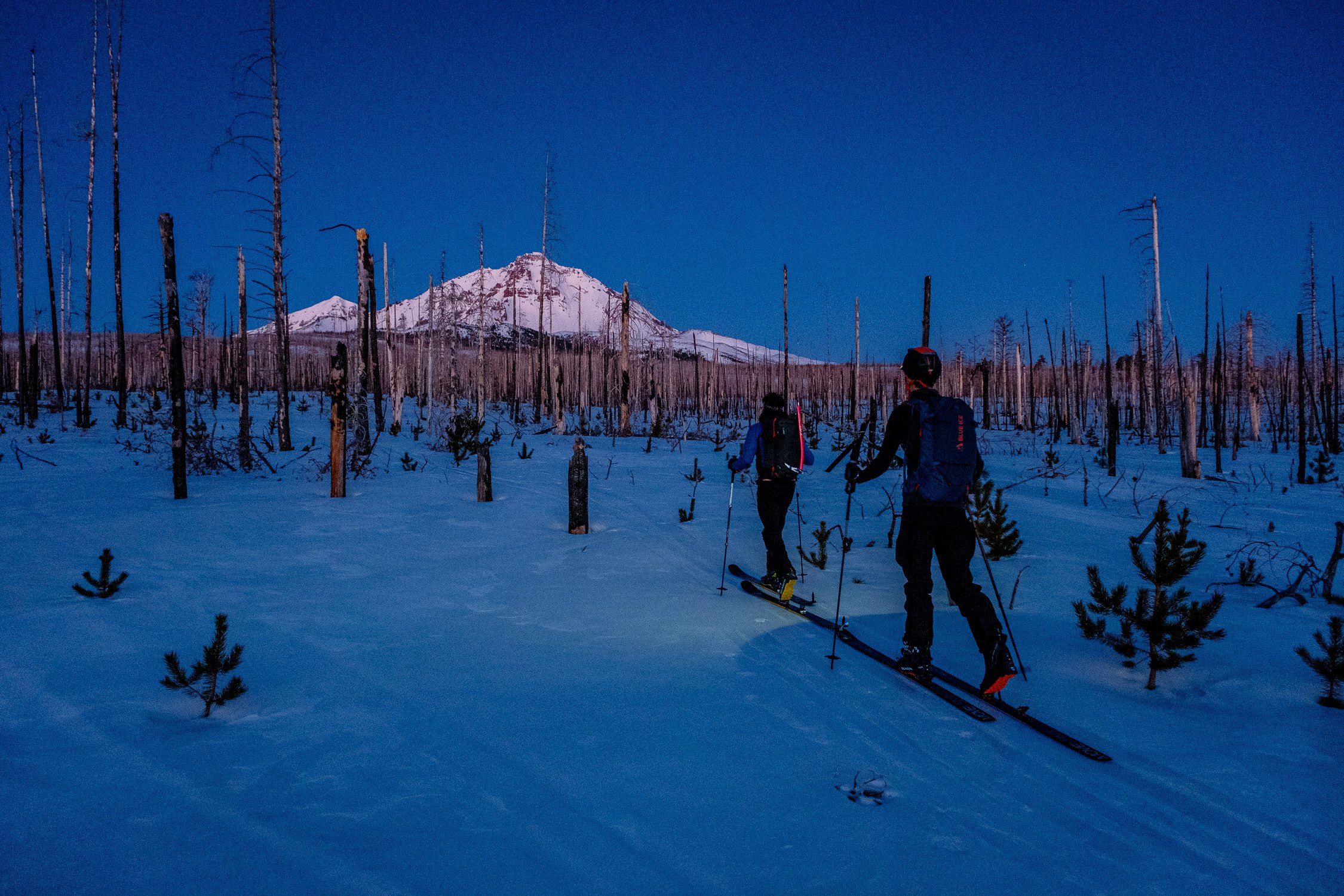
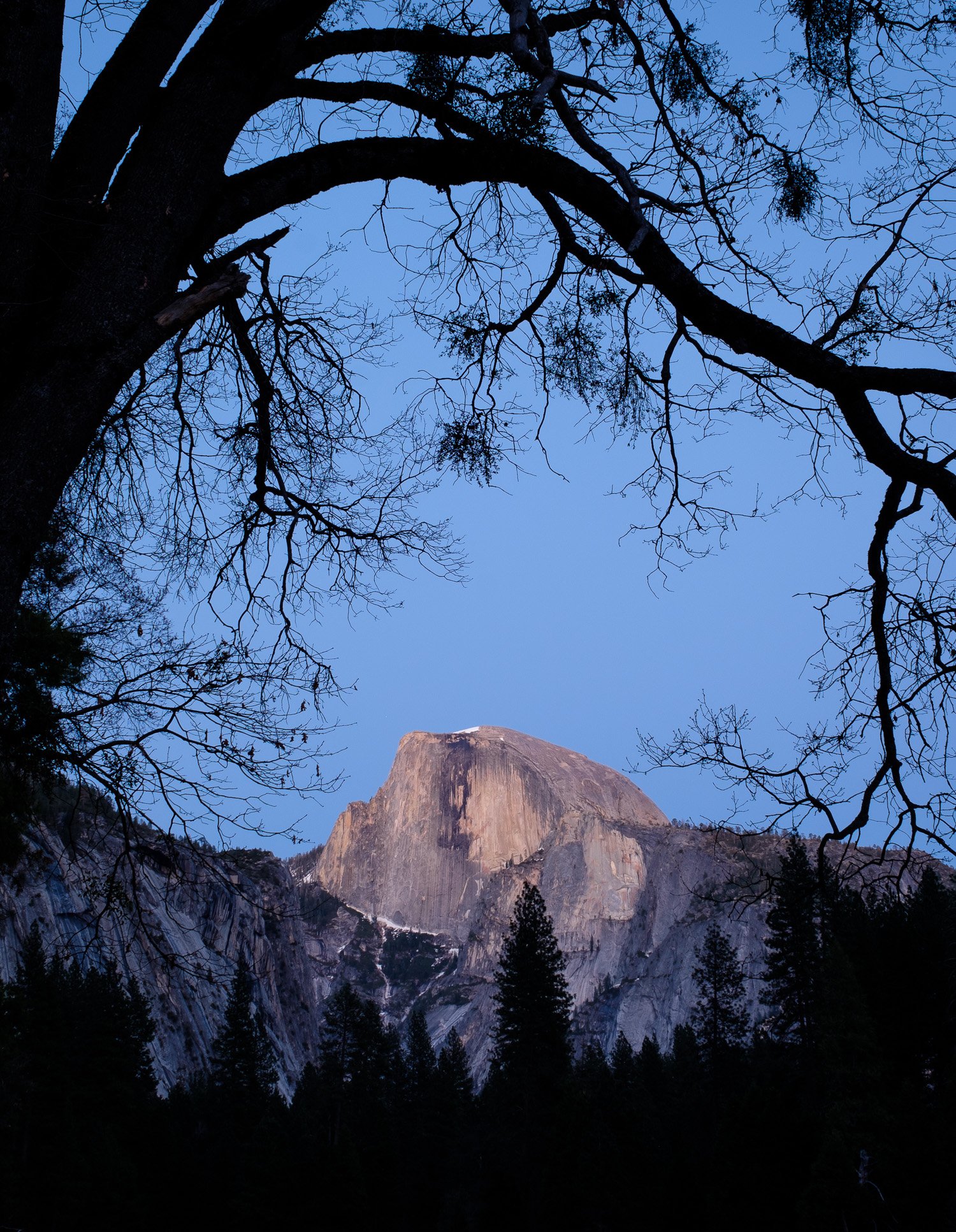
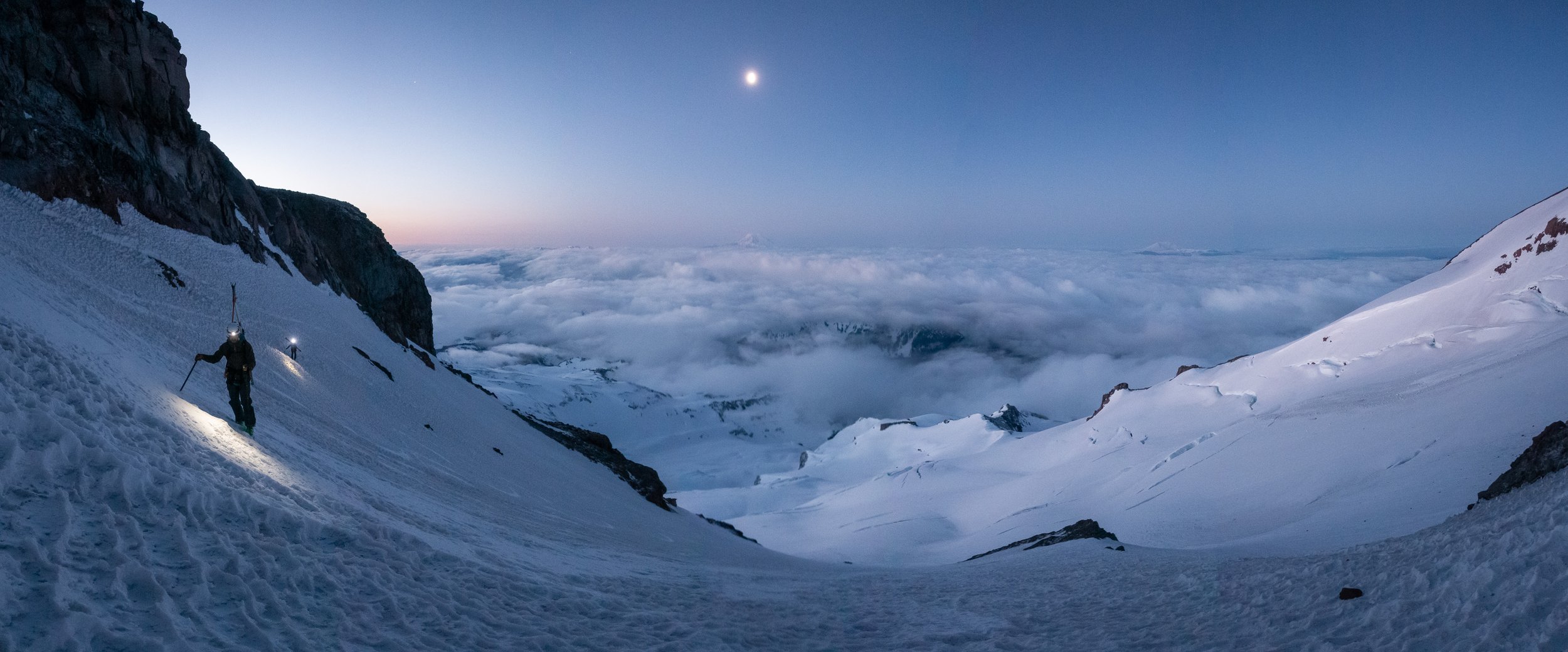
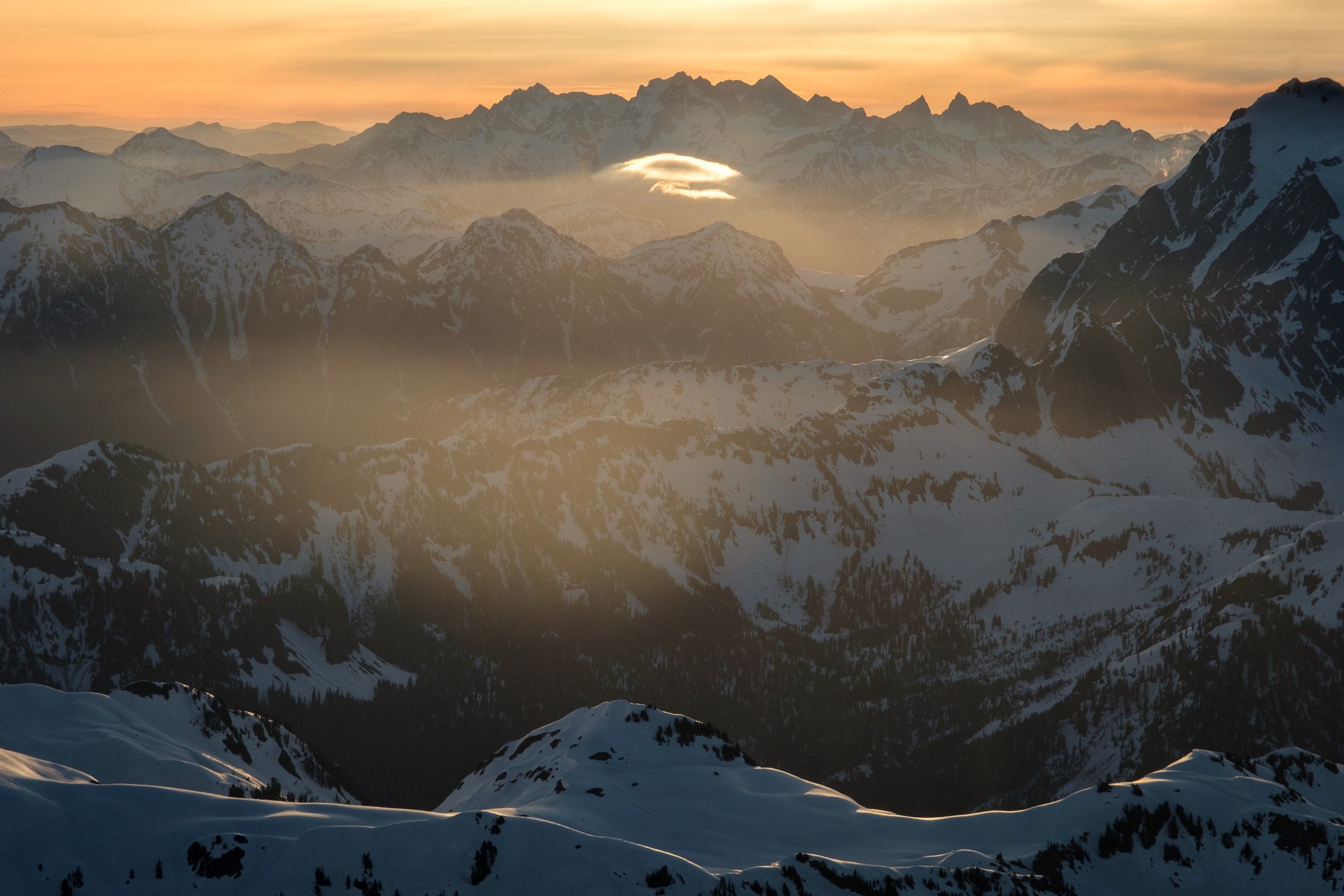
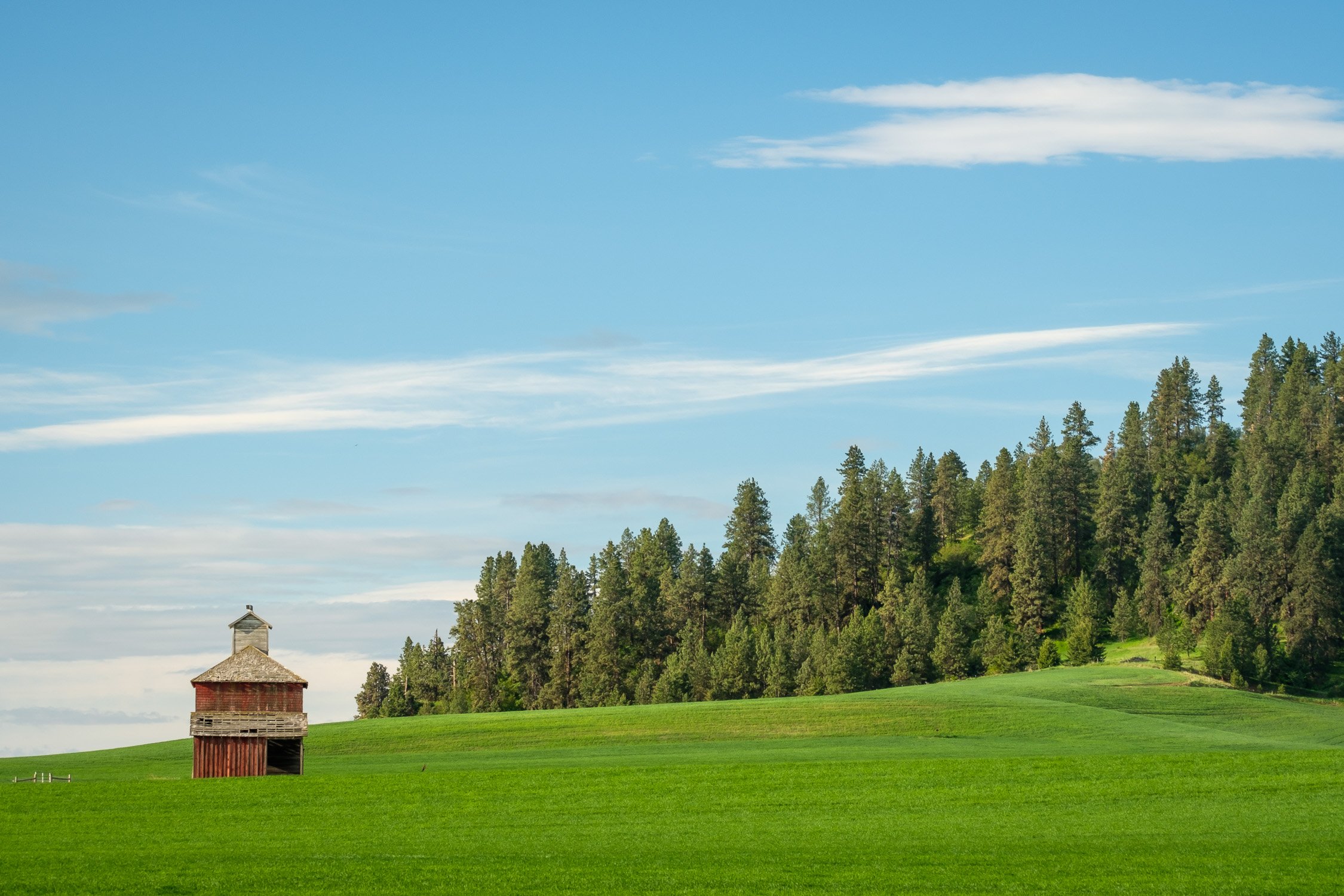
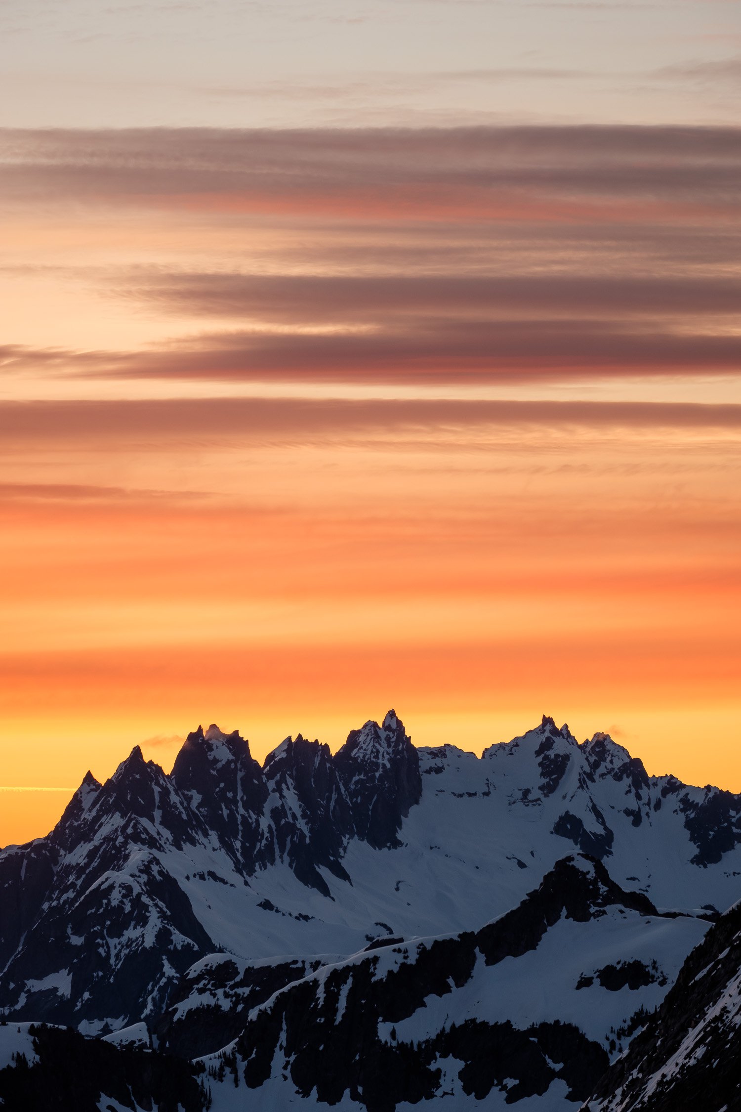
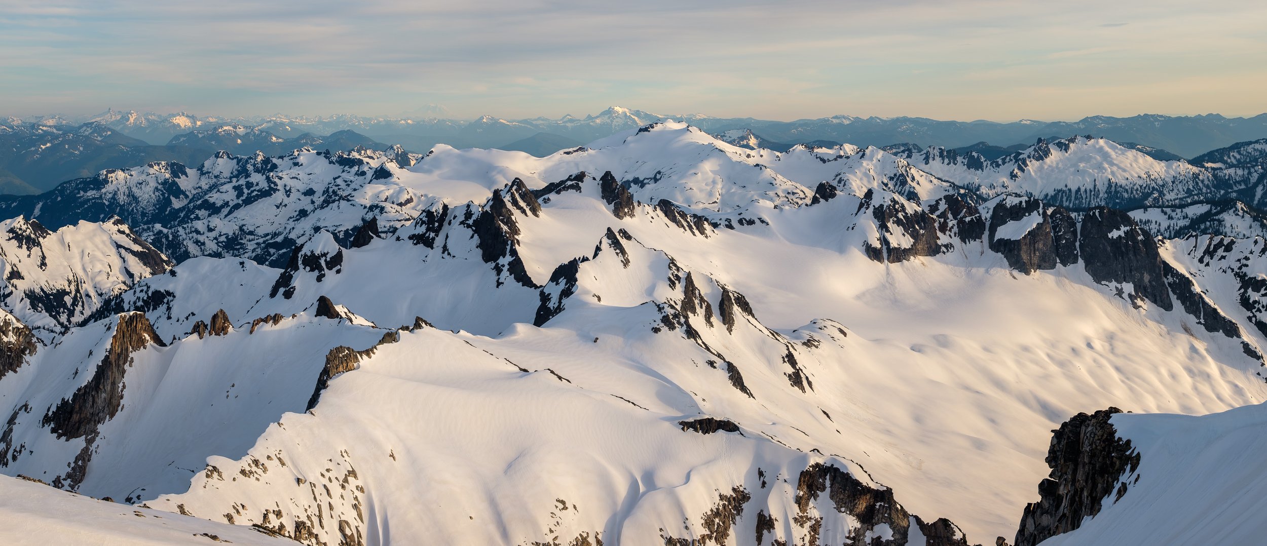
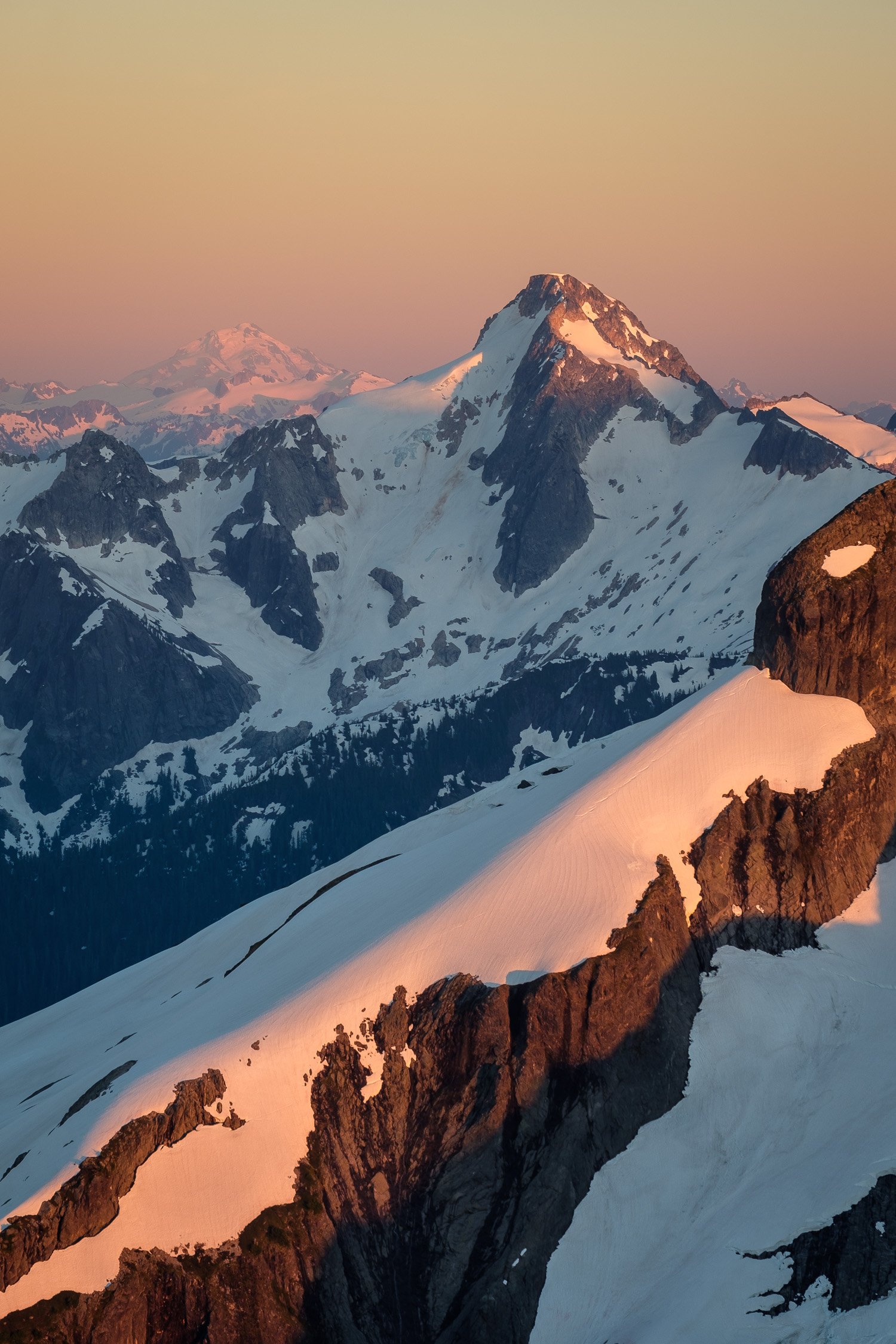
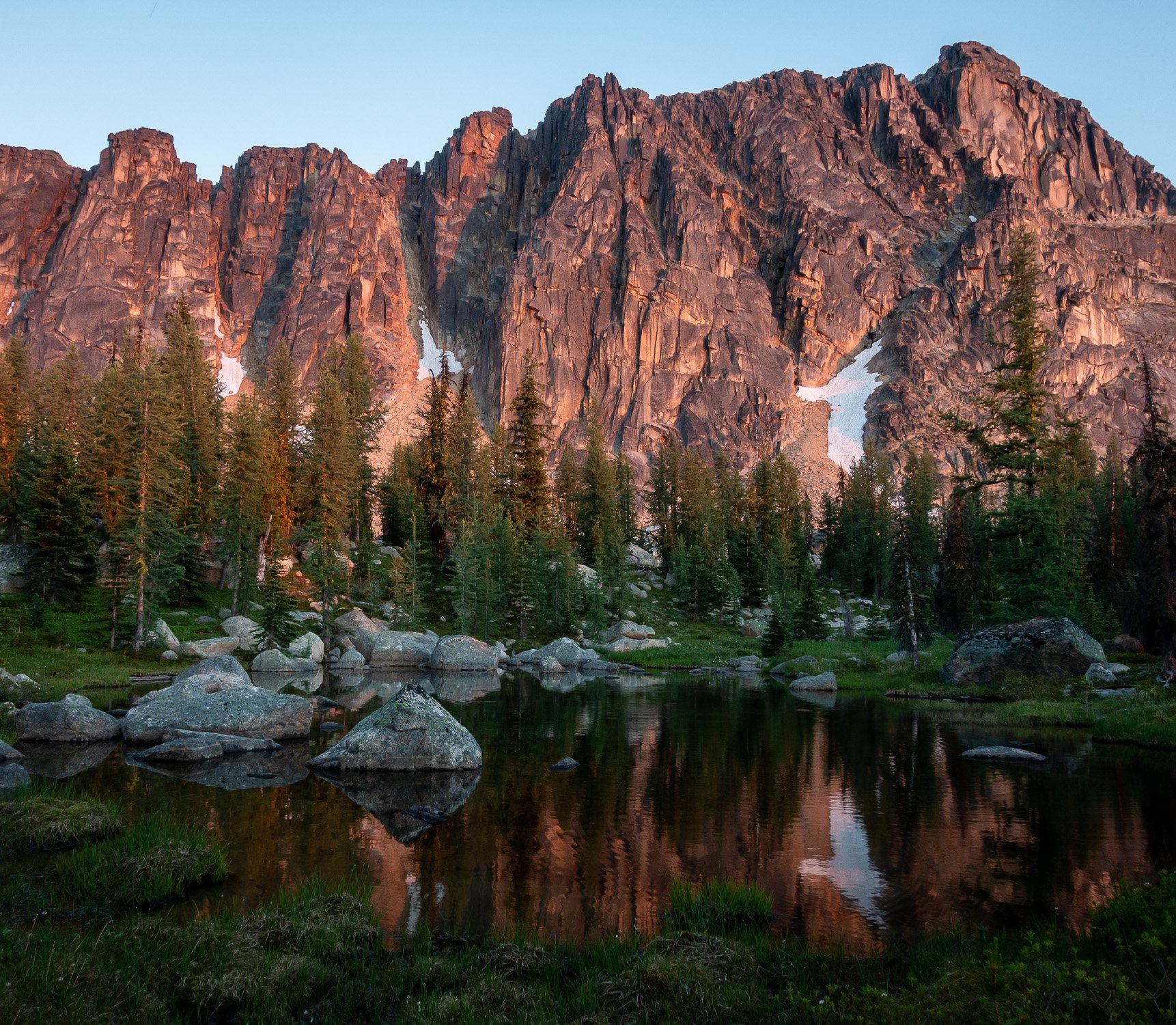
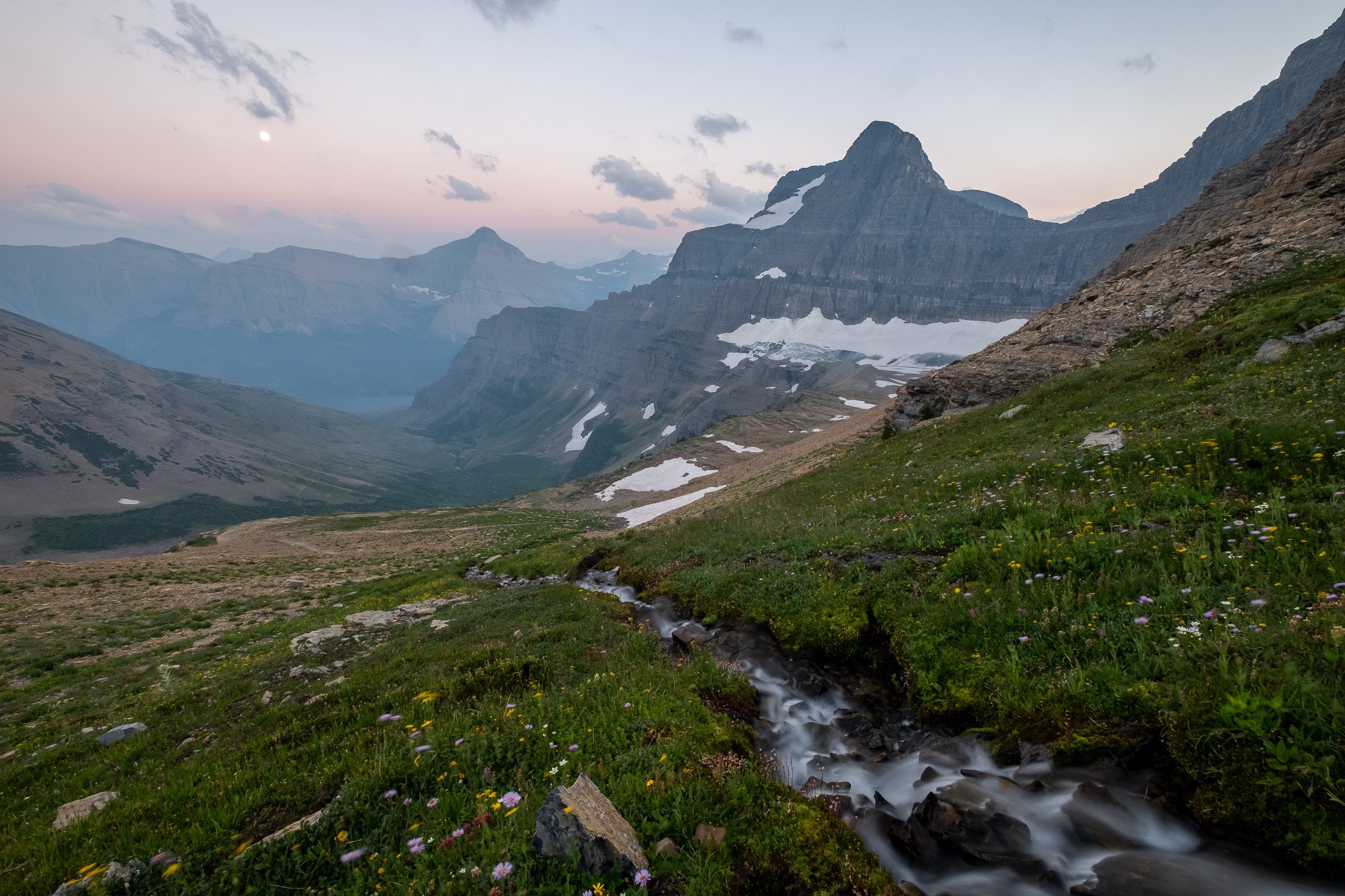
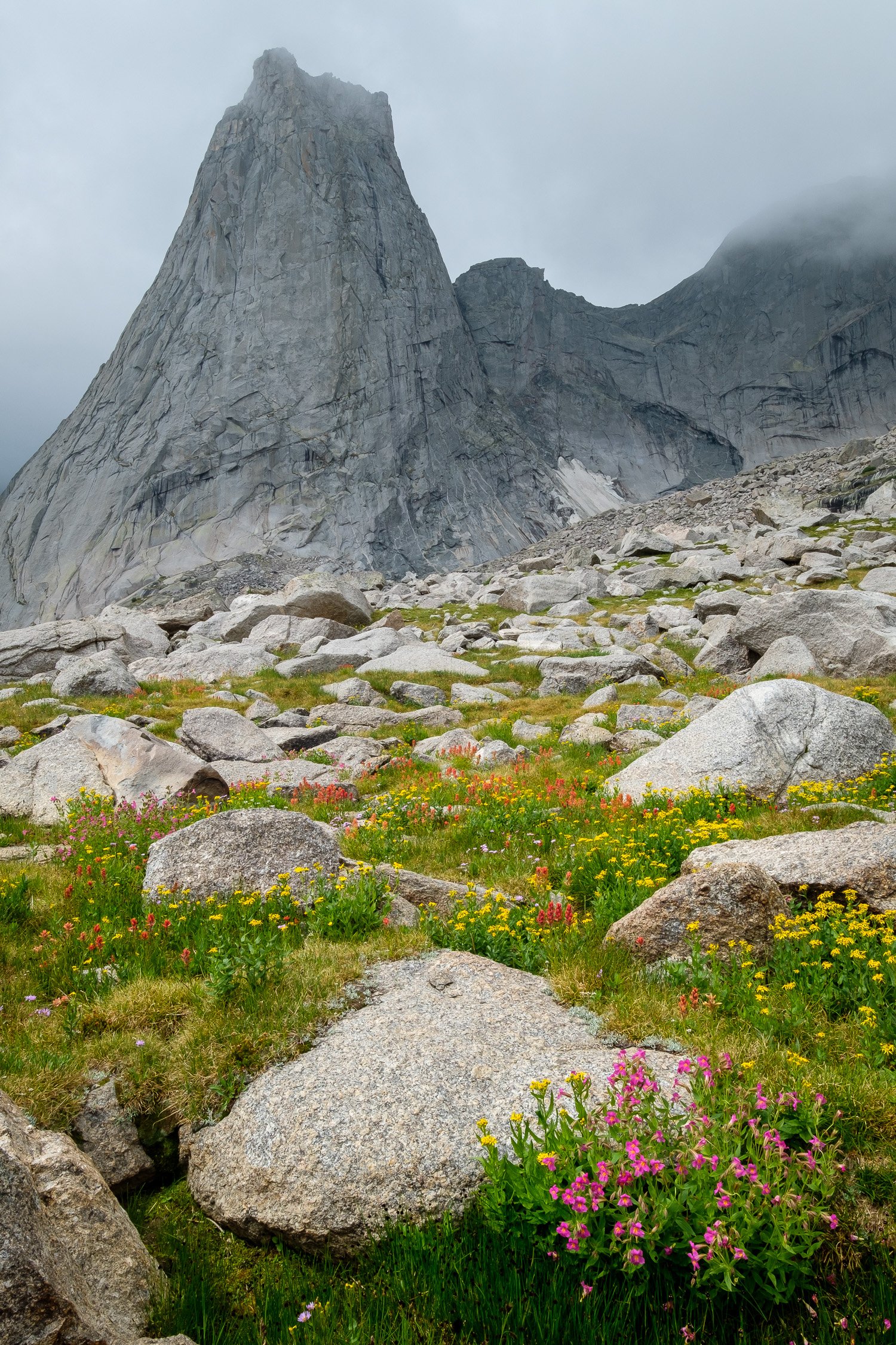
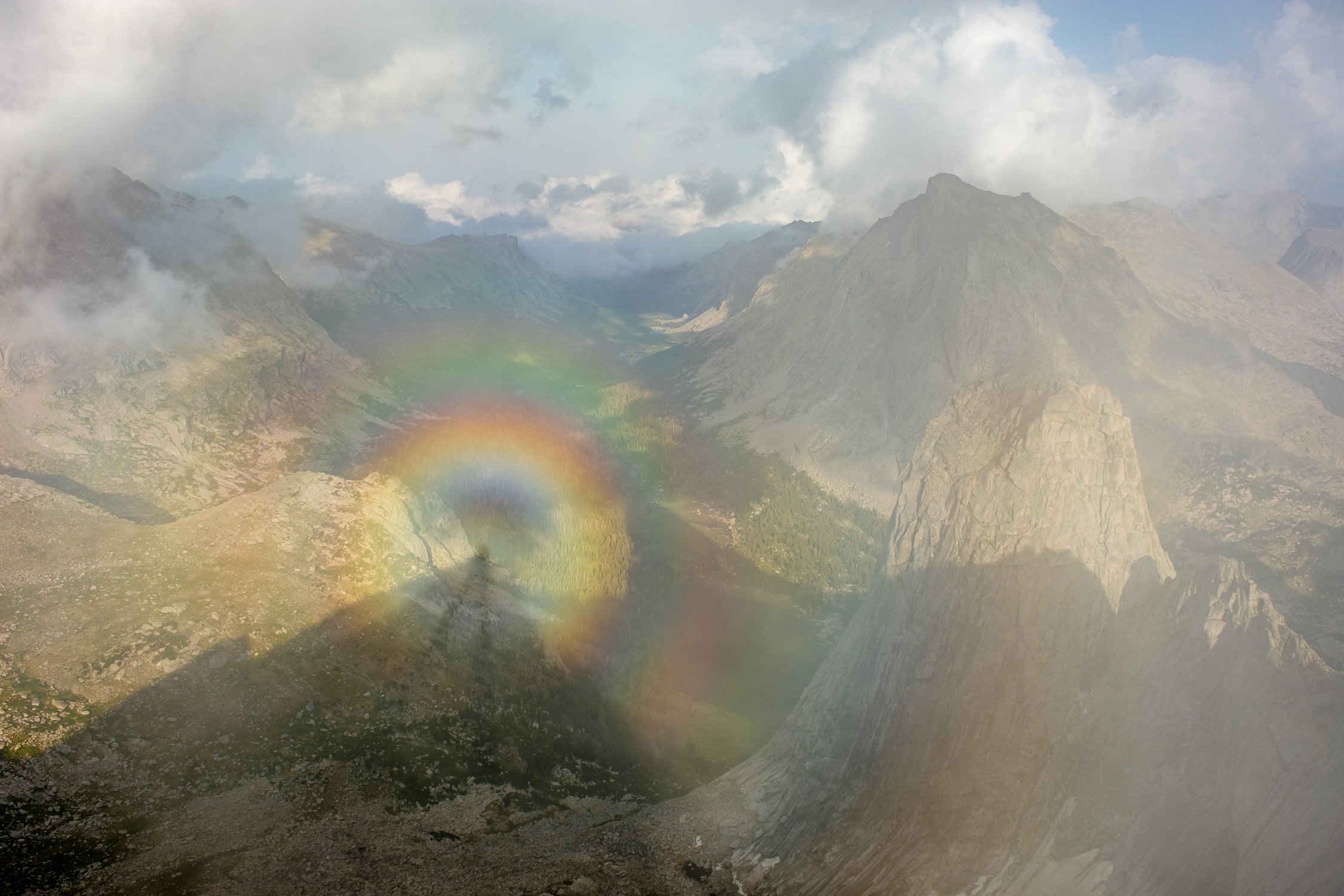
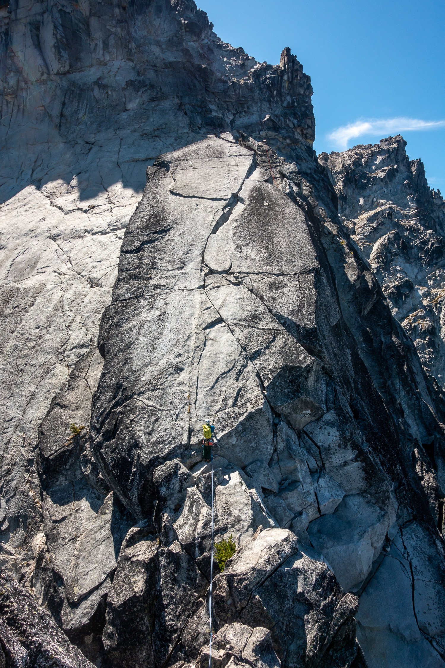
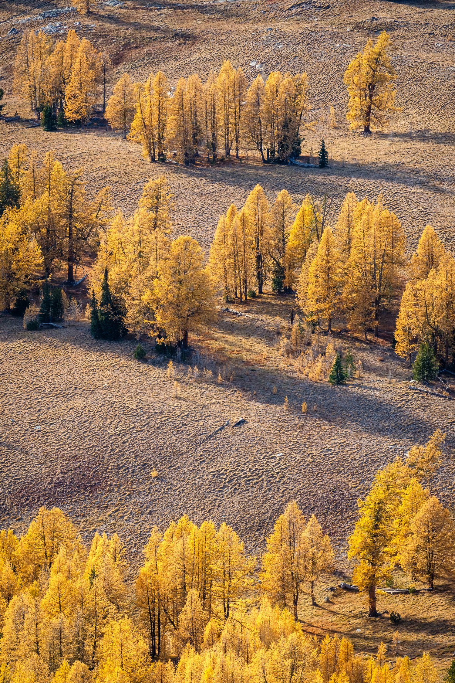
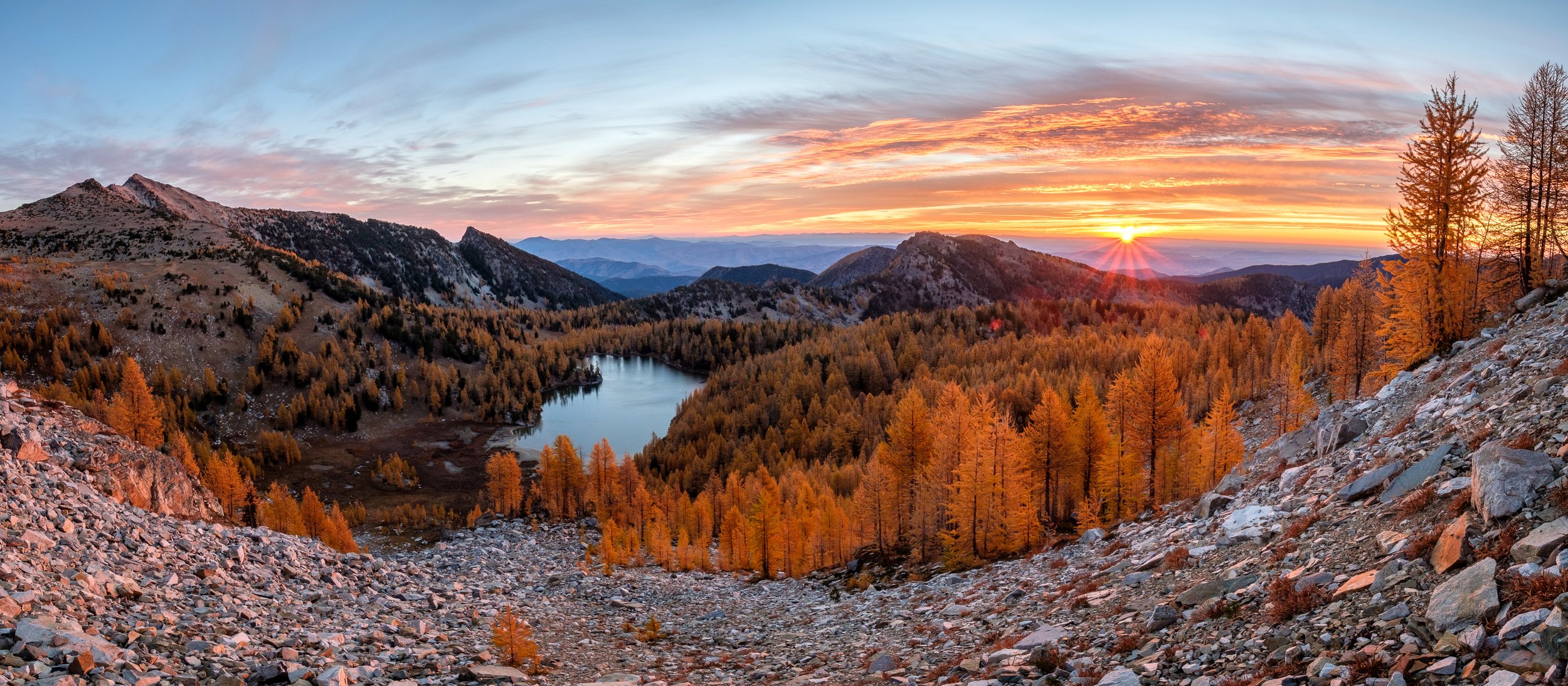
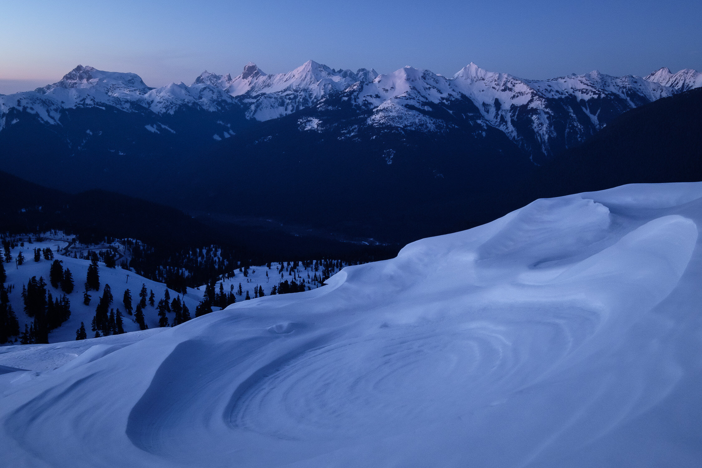
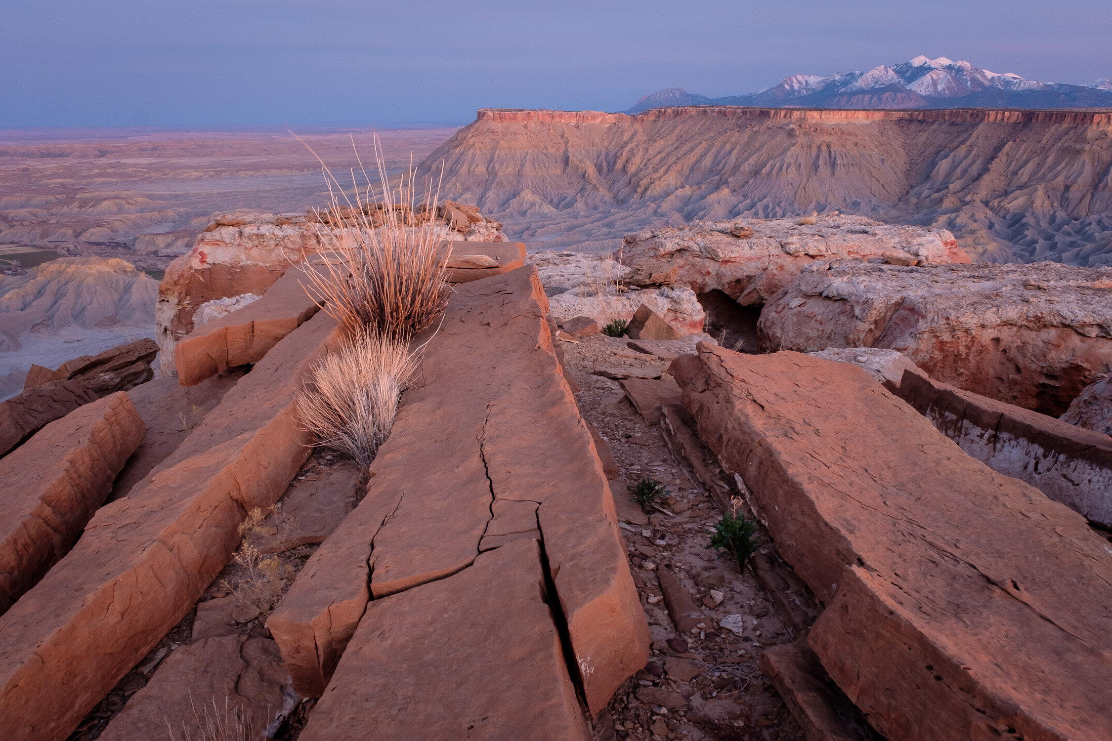
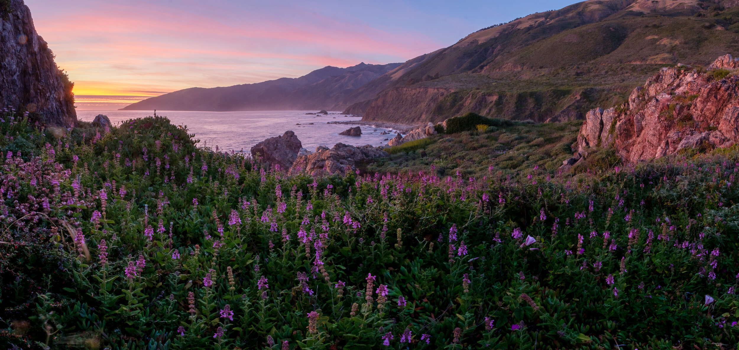
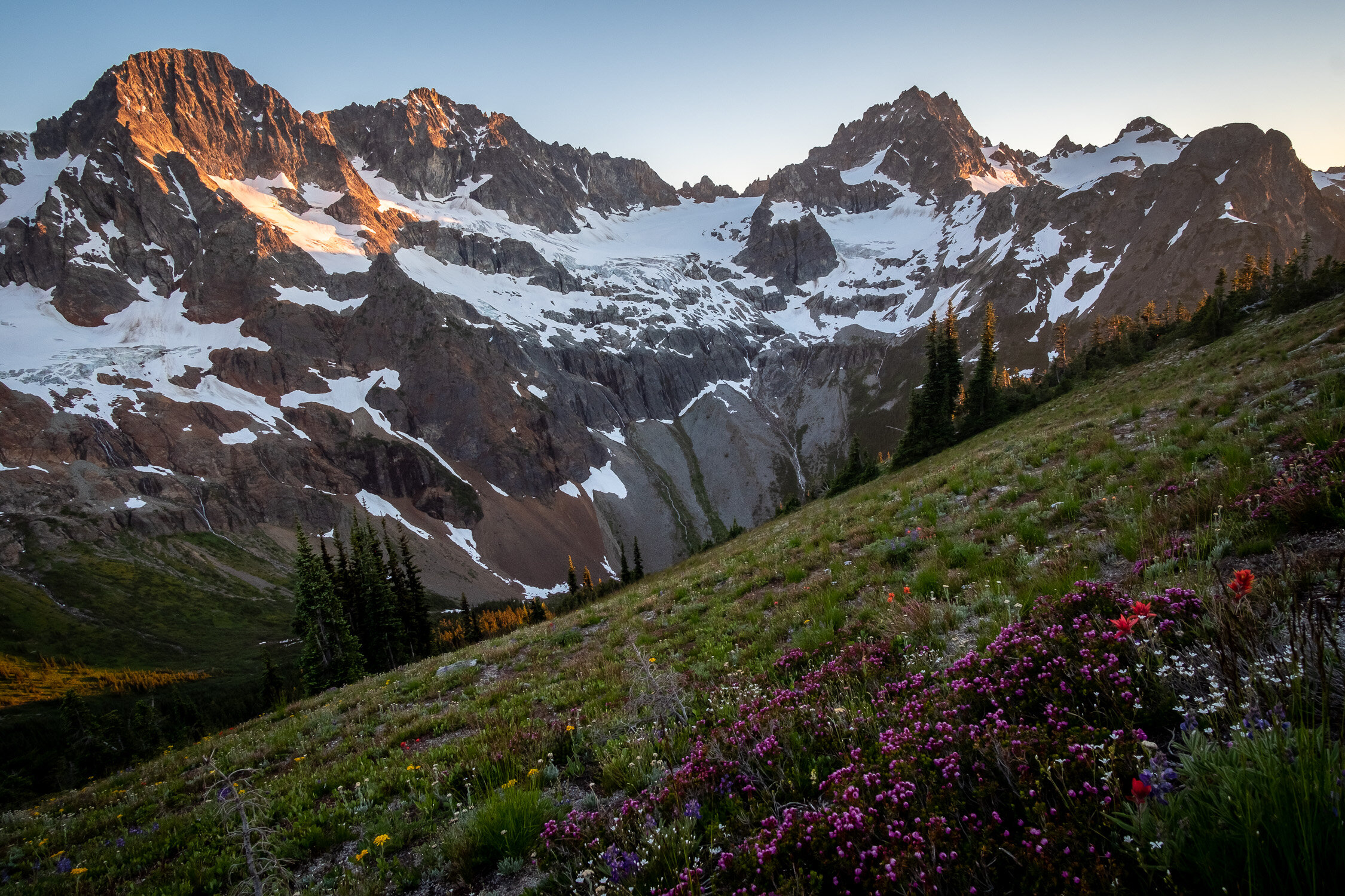
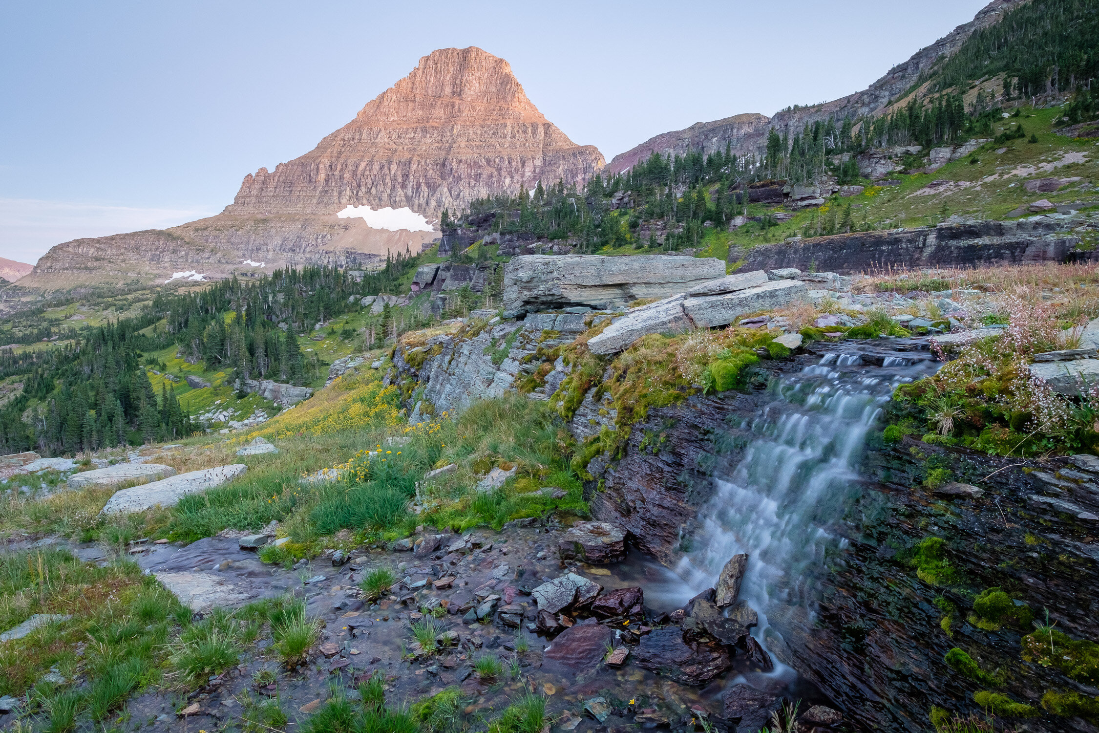
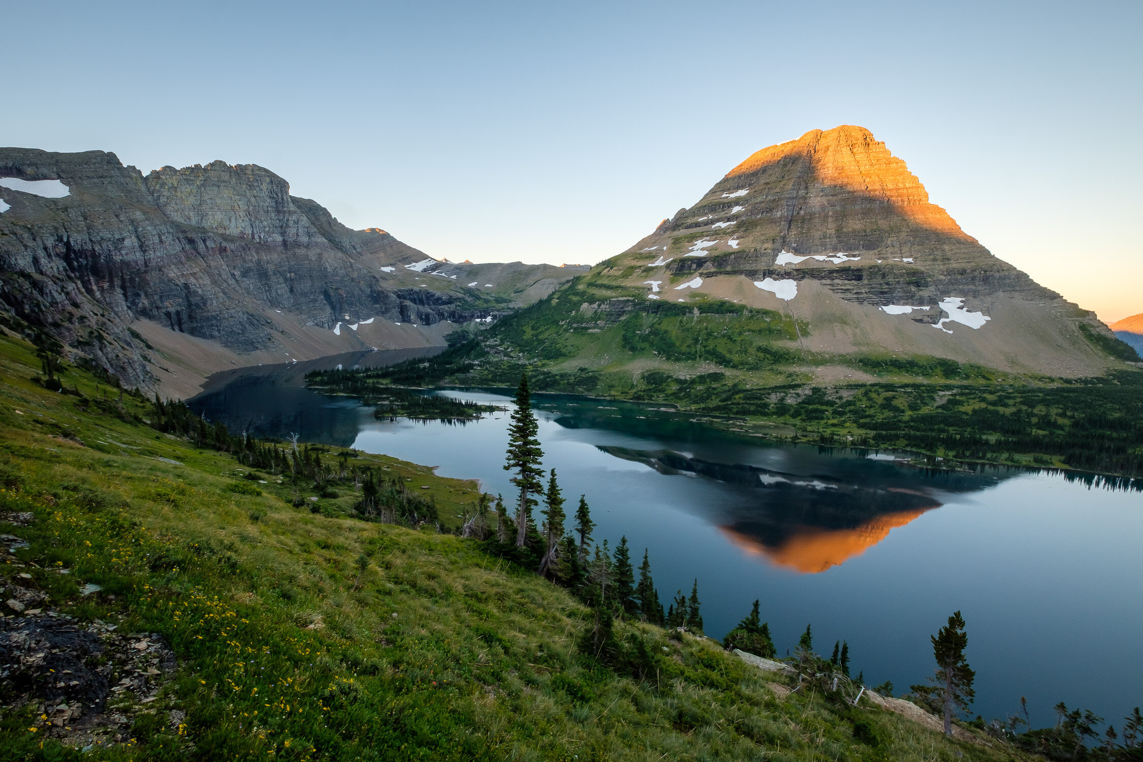
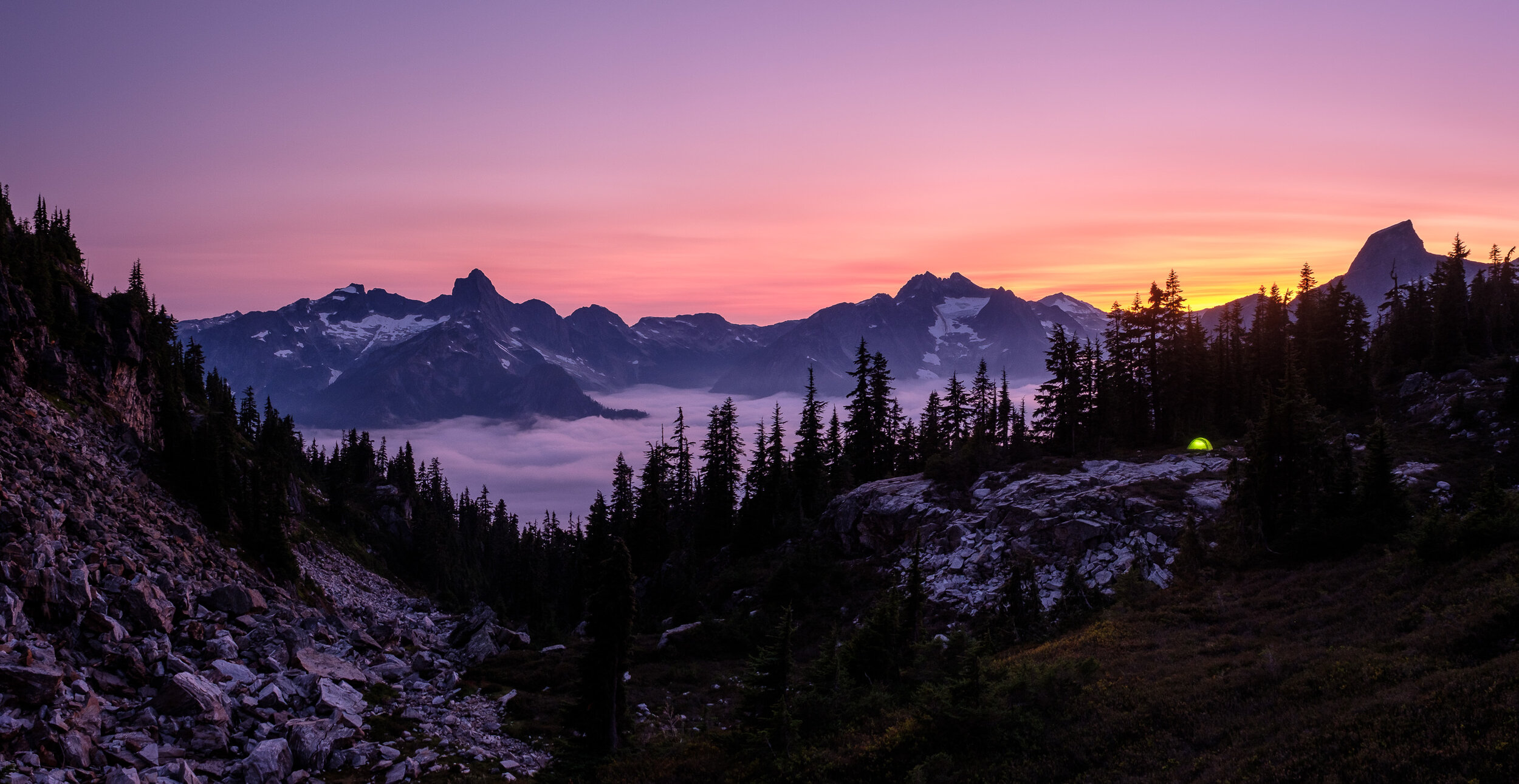
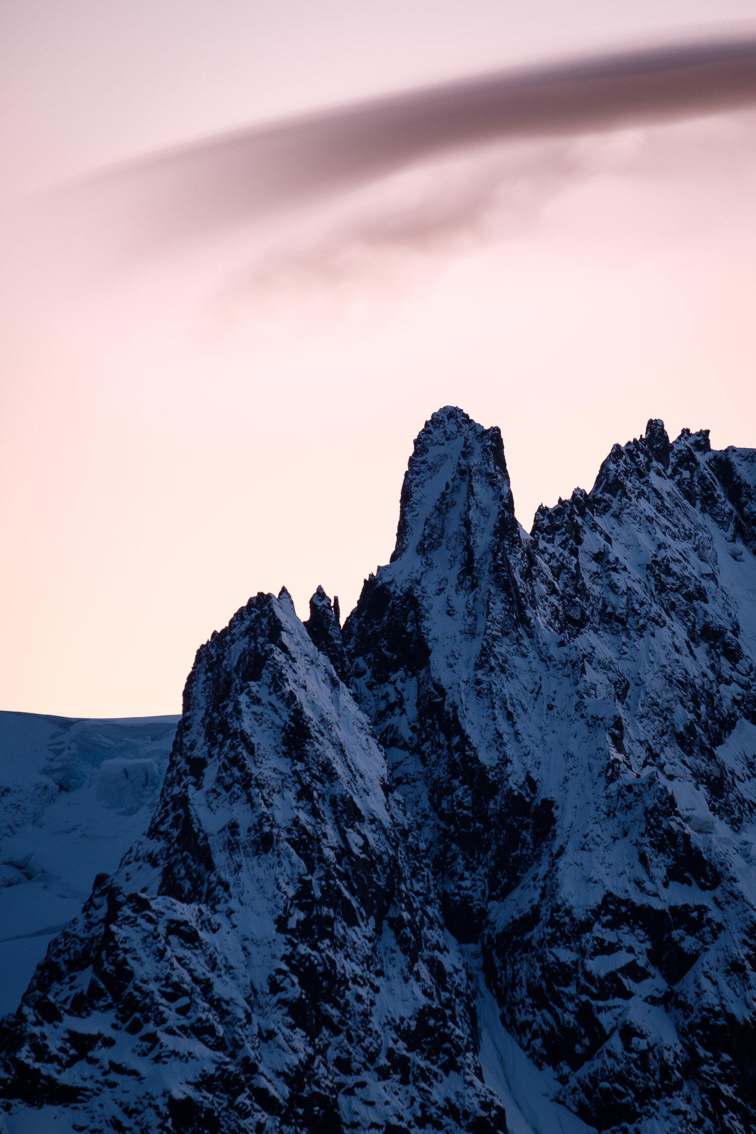
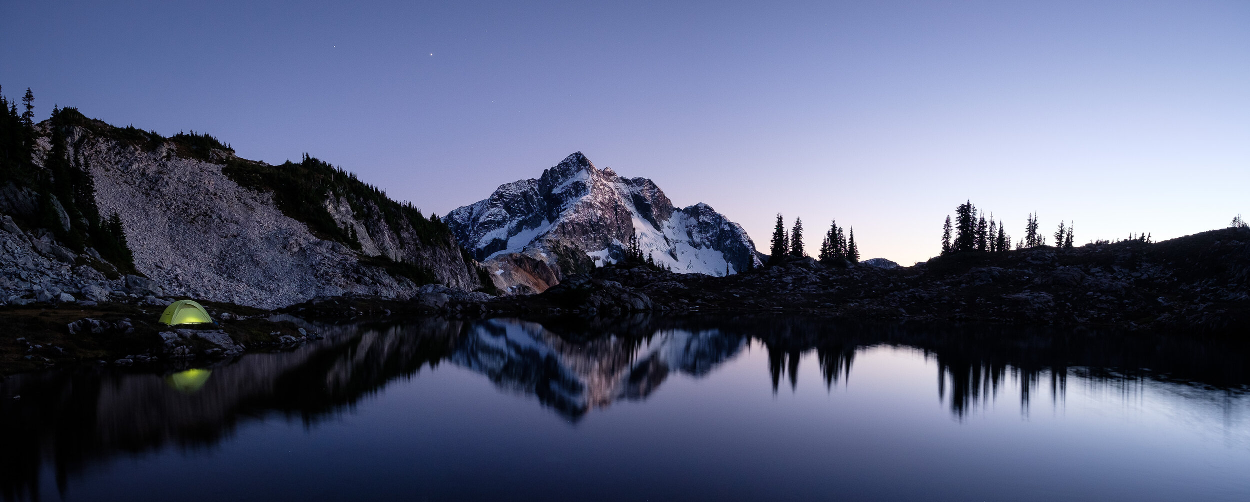
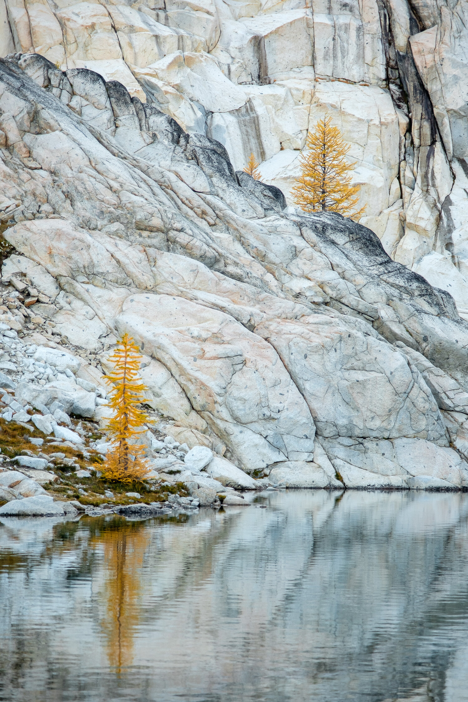
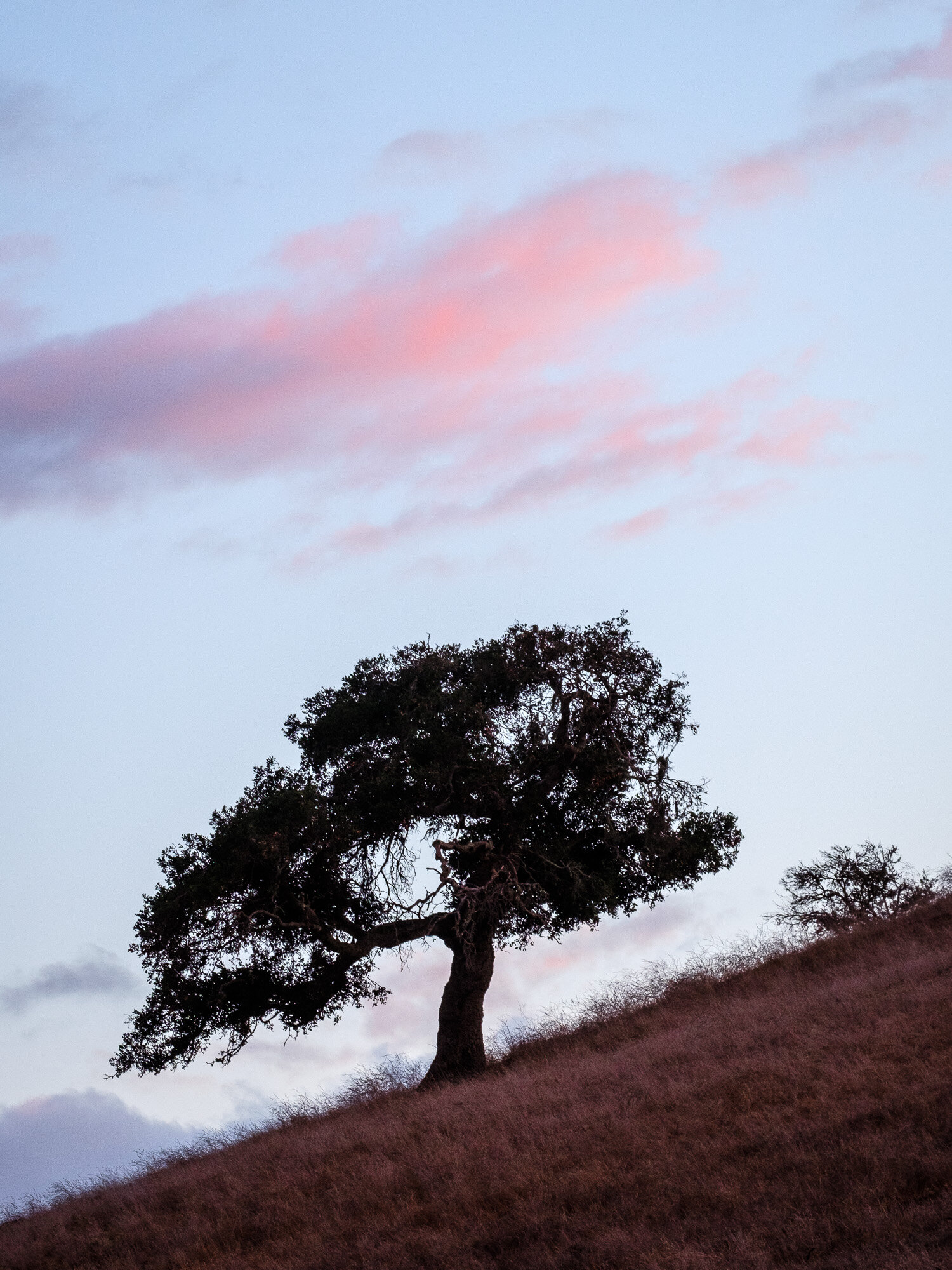
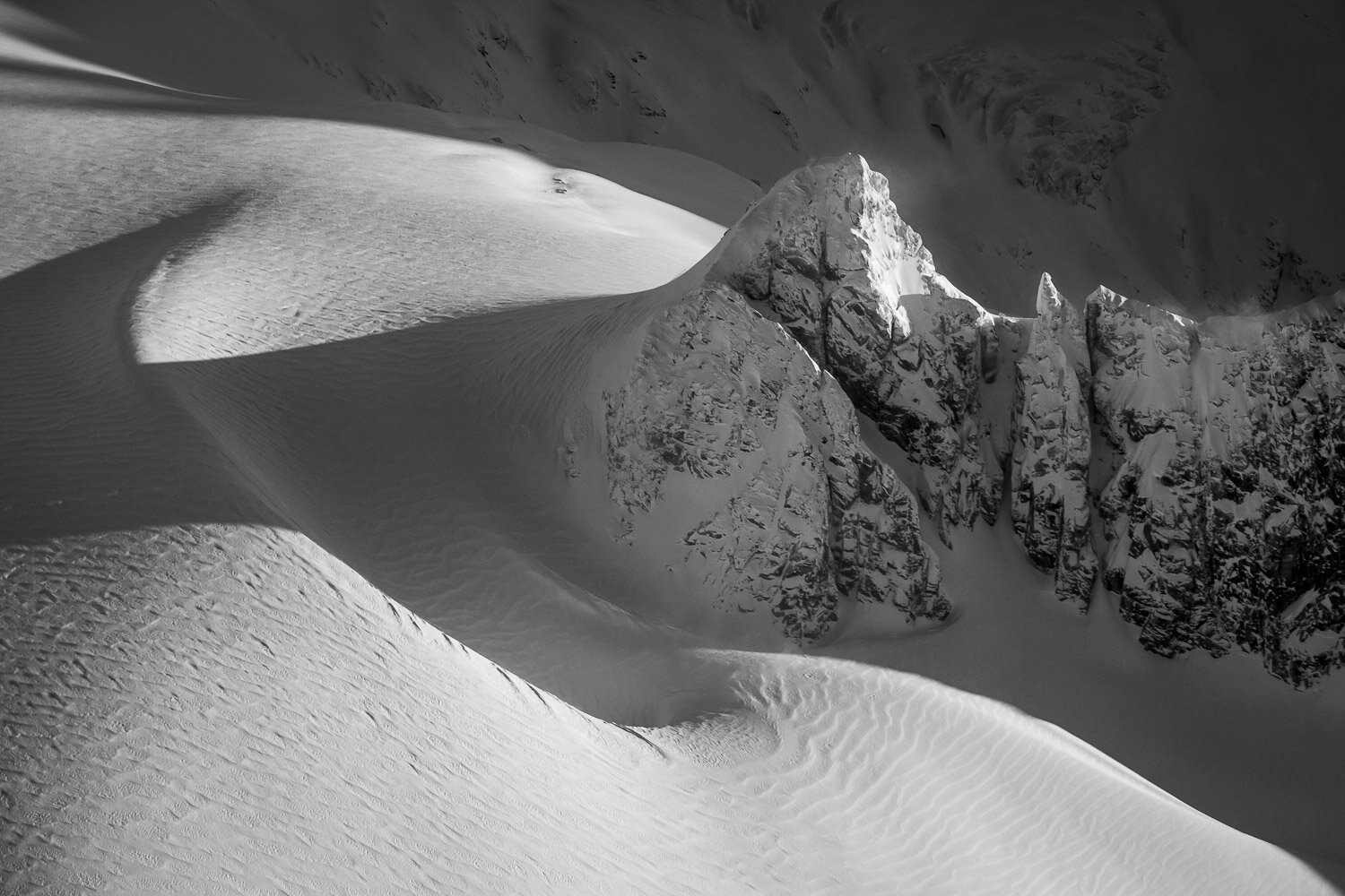
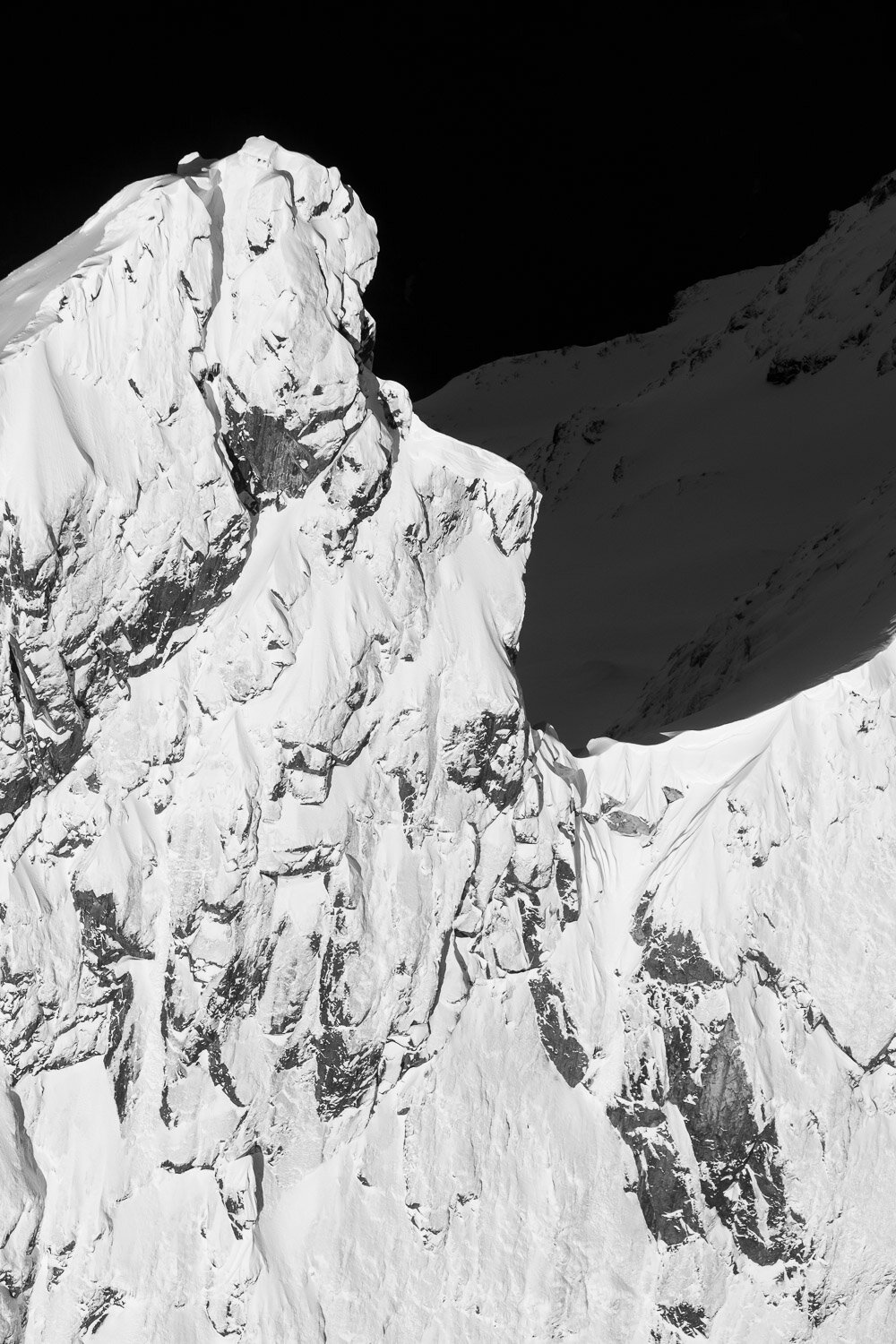
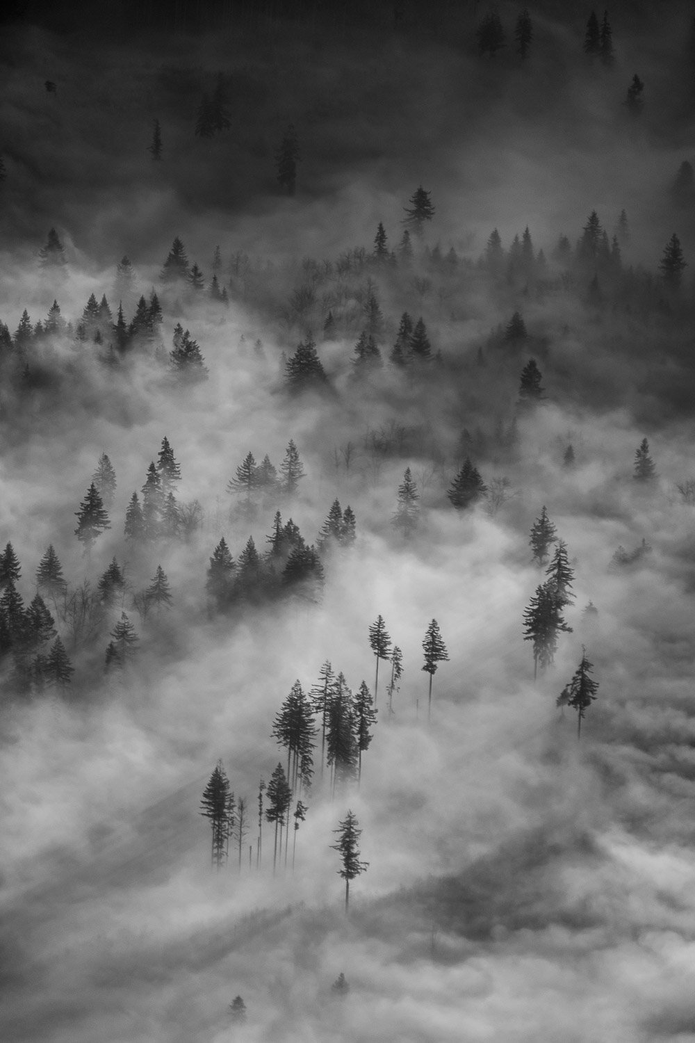
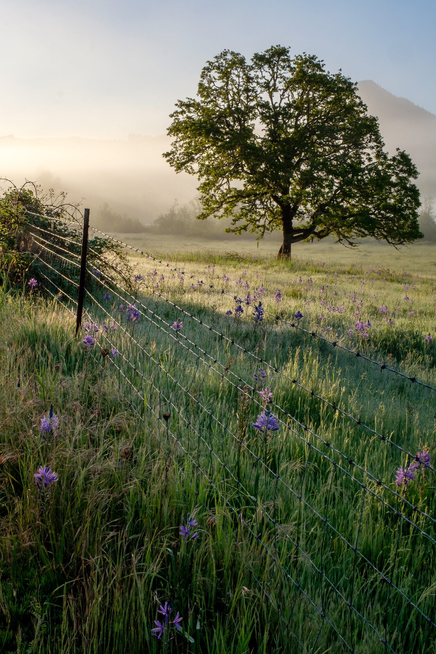
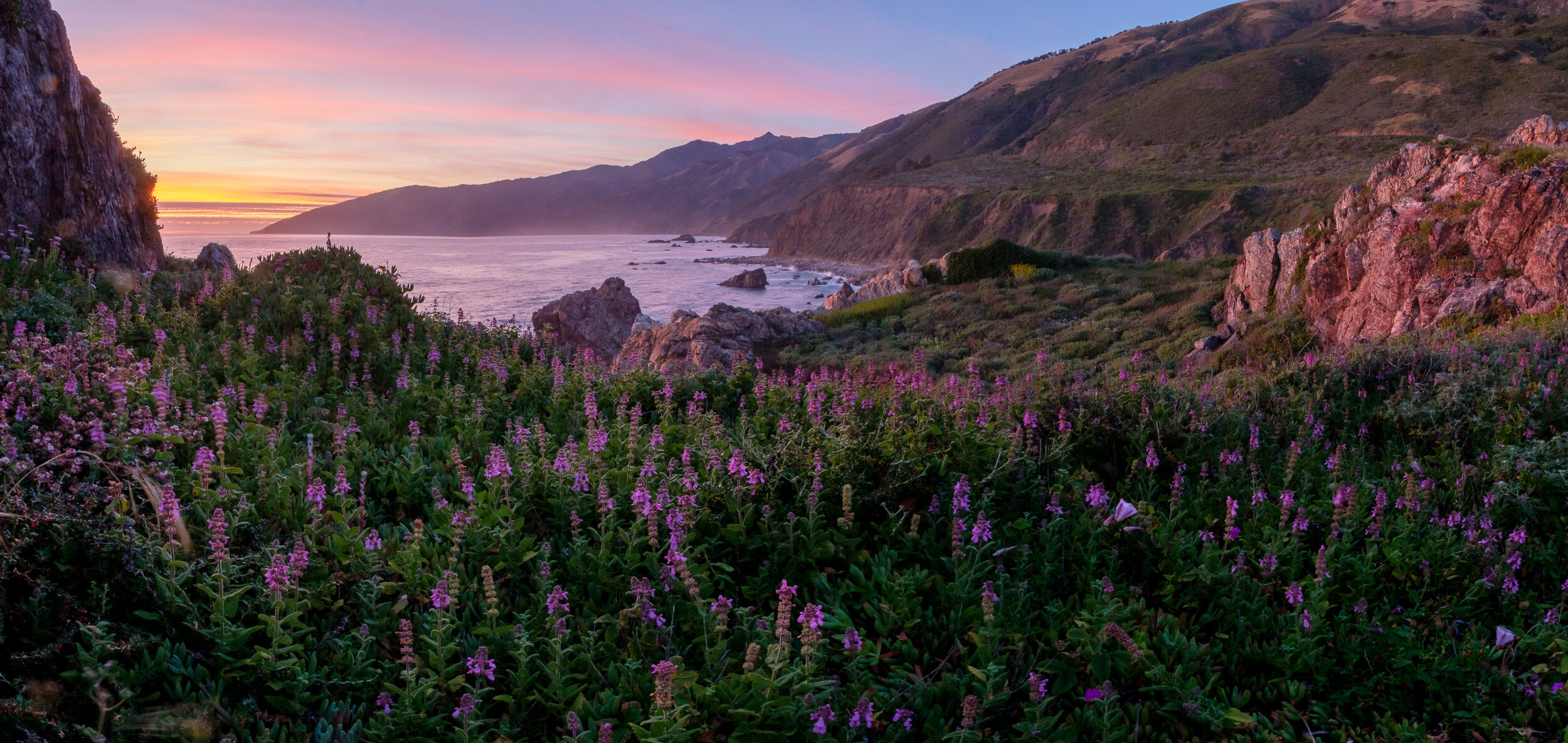
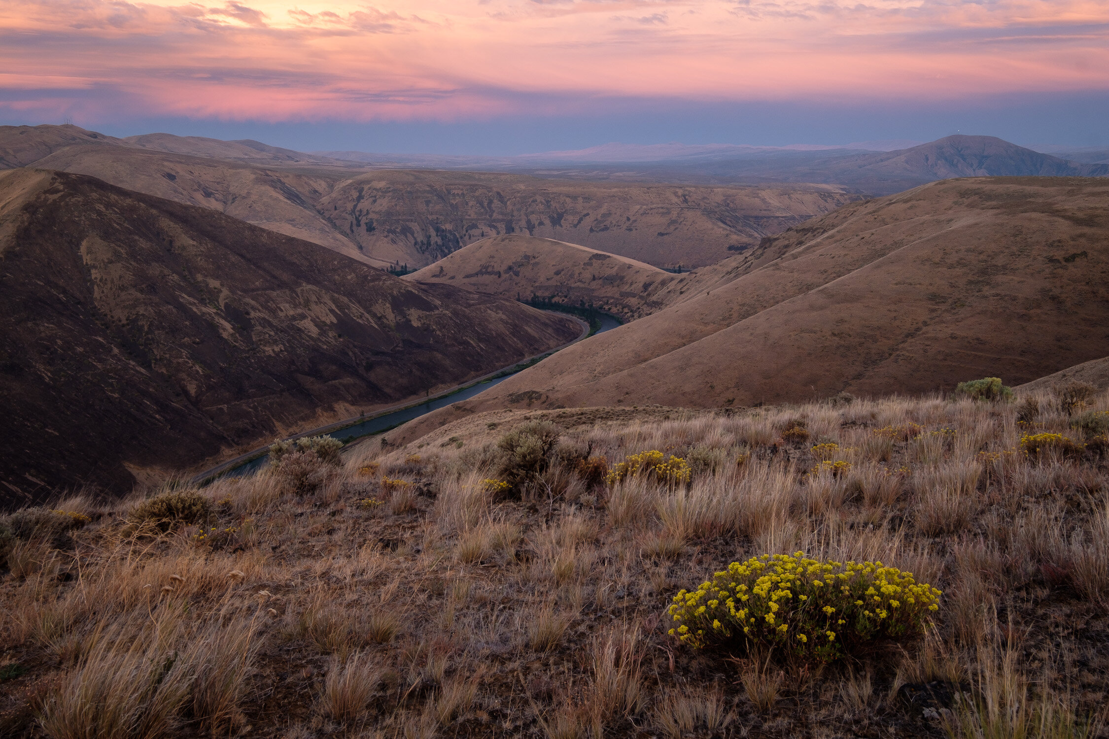
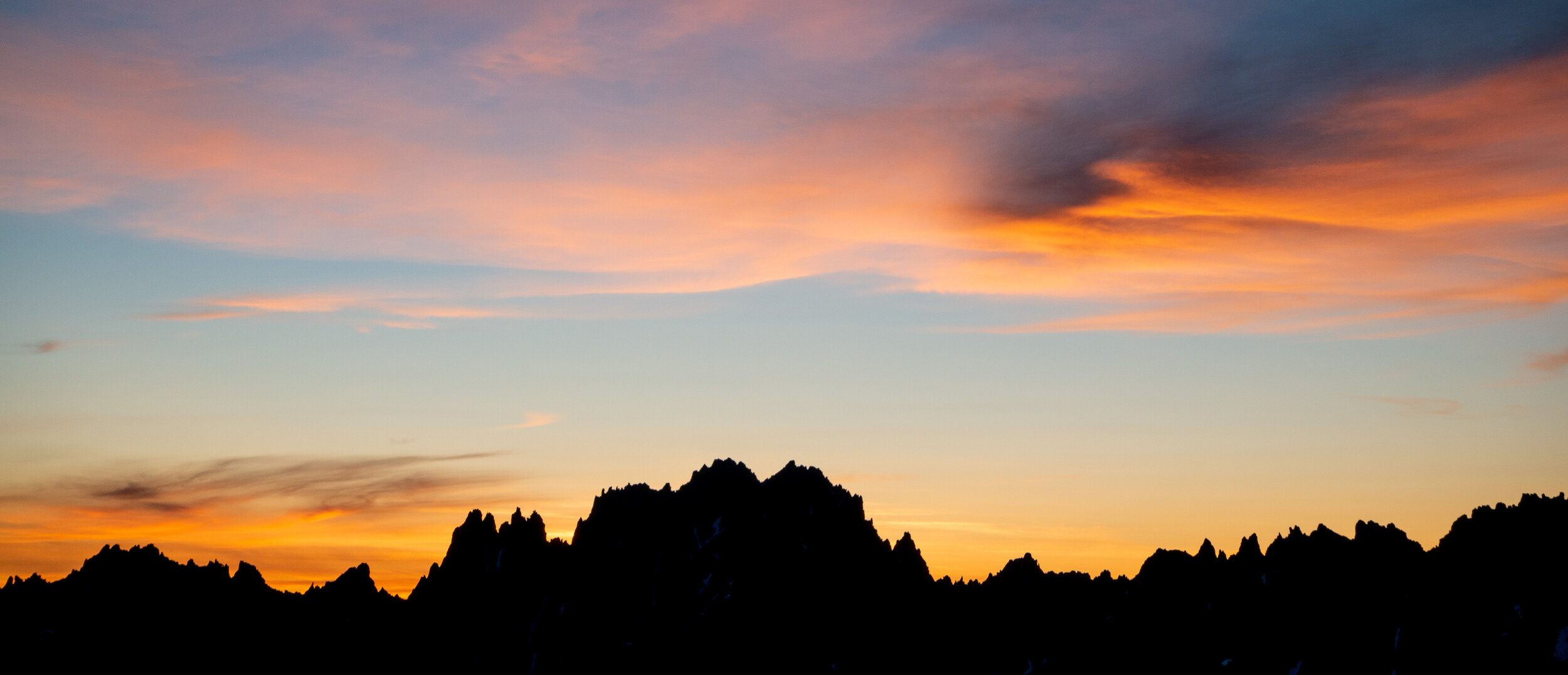
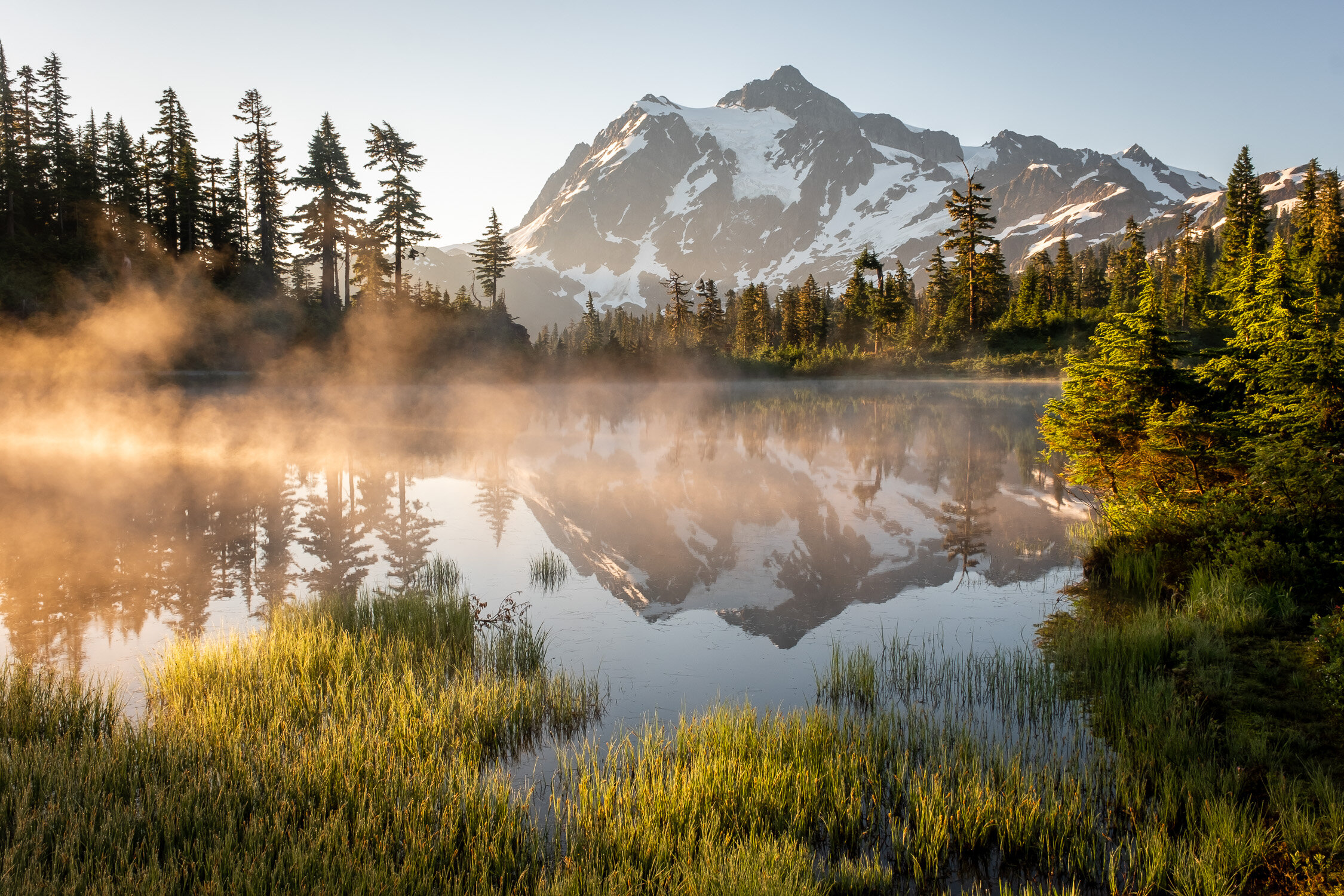
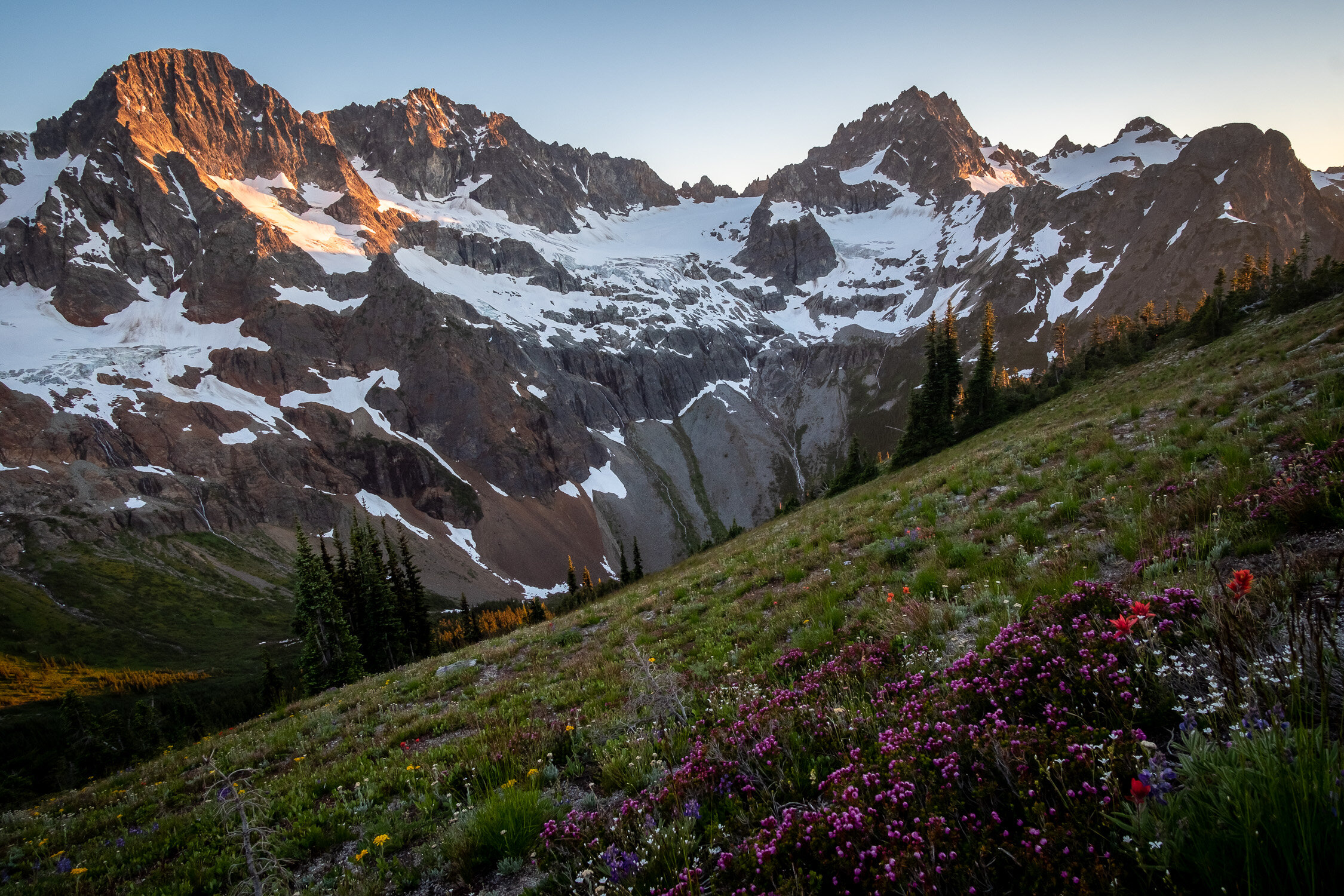
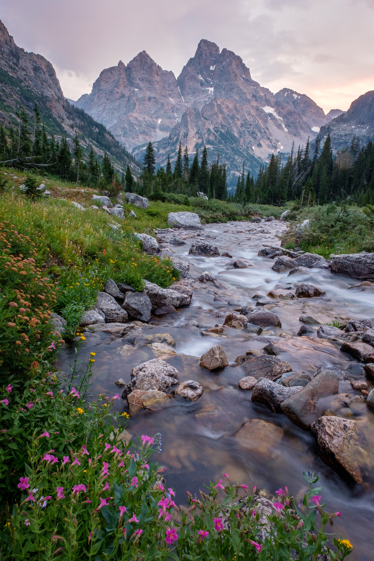
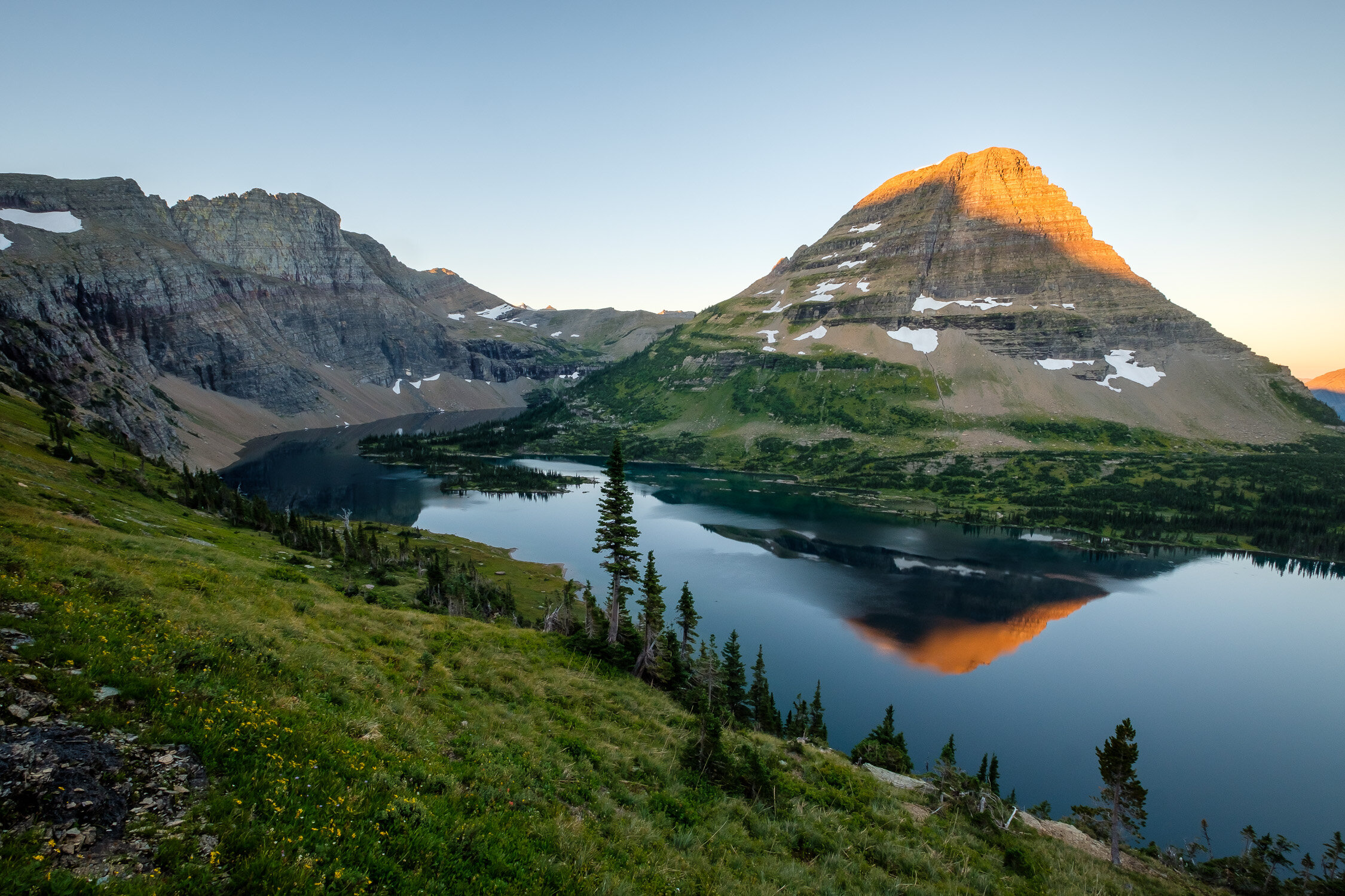
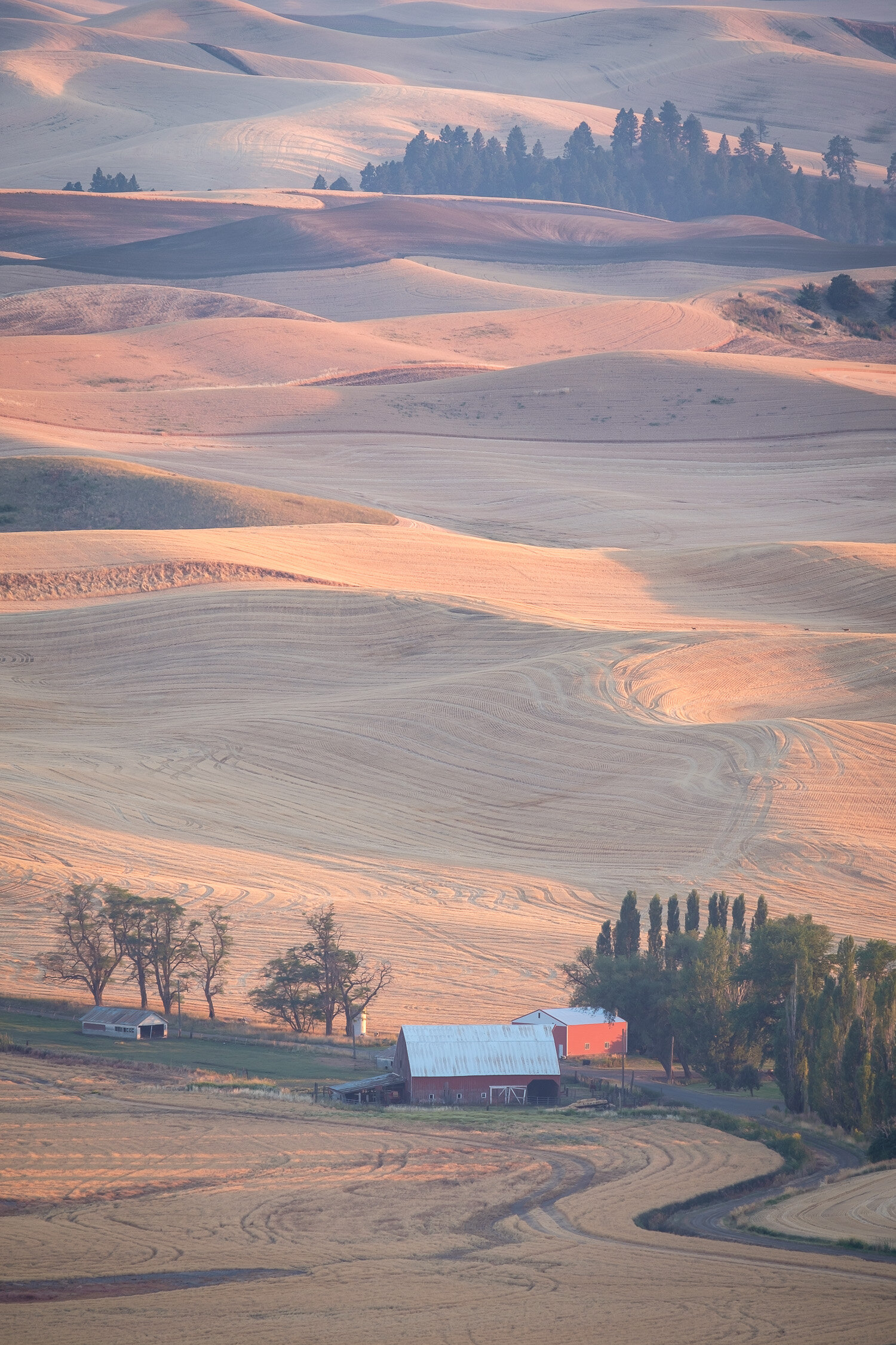
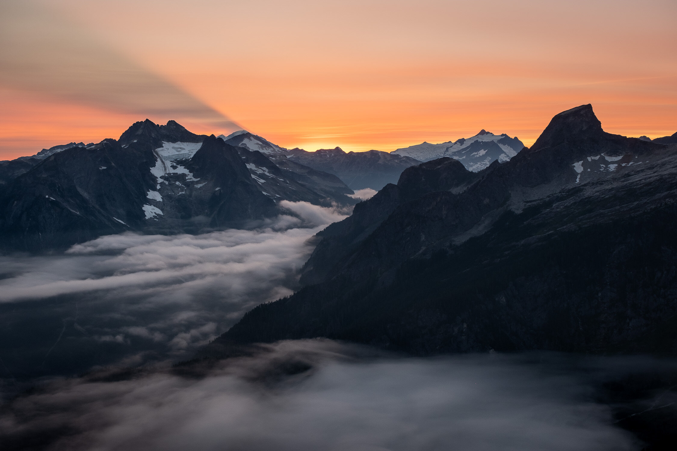
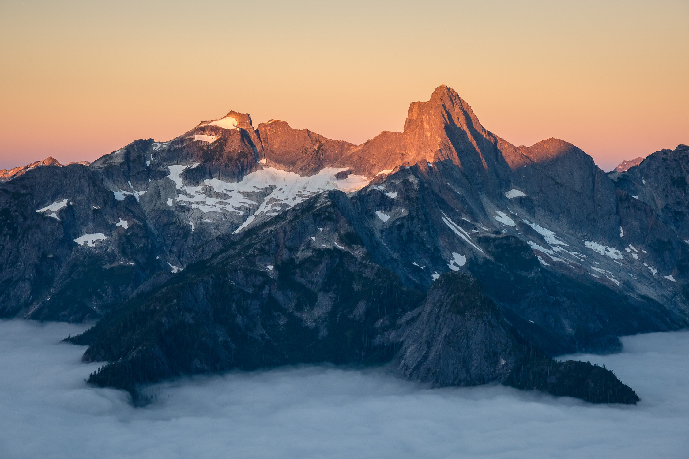
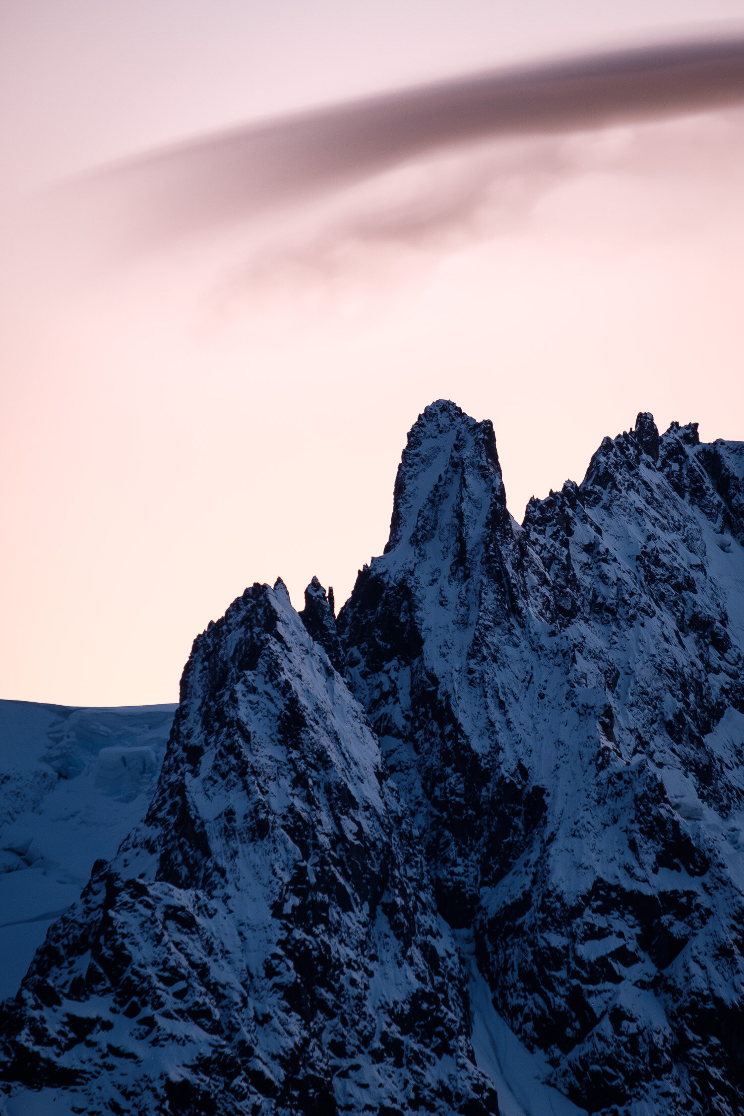
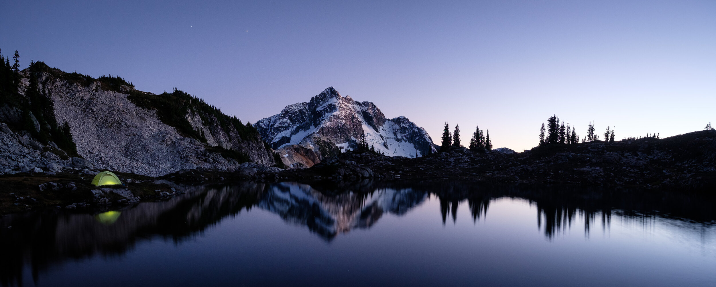
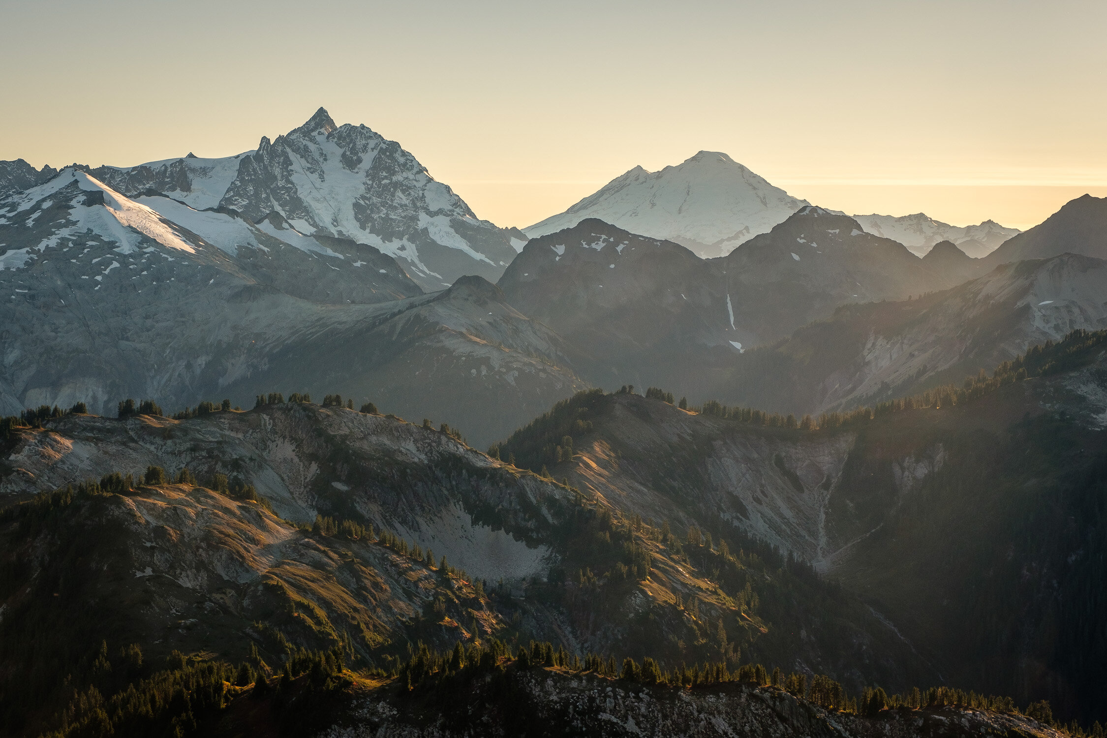
Becca and I spent a number of weekends in Leavenworth last month, where the spring Balsamroot bloom seemed extra special this year. We did a lot of different activities: climbing, skiing, mountain biking, and paragliding. The east side of the Cascades is a beautiful place for all of these activities (and more!), but for me, there’s something extra special about zipping through a forest carpeted with flowers, or rolling down an exposed ridge with steep dropoffs on either side. I brought my camera along for a few rides so I could snap some pics. Thanks to Adam, Dunlin, Conner, and Matt for being patient with me on the climbs. Let me know what you think!
Tomyhoi Peak (and Lake), the Border Peaks, Larrabee, and the Pleiades from just below the summit of Winchester.
Trip Report: Mount Larrabee via Winchester, exit via Gold Run Pass
Last week I embarked on a quick and lovely solo trip up Larrabee to ski the Southwest Face. It was a great trip, including a lovely night on the summit of Winchester, and I was able to make a loop by exiting via Gold Run Pass. It was awfully fun to see the Border Peaks up close, and Larrabee was a great ski, although it’s melting out fast!
Nooksack Tower and the lower slopes of Goat Mountain.
I was able to drive the Chain Lakes Road until about half a mile past the Keep Kool trail. I left the car just before 17:30 and started hiking up the mostly snow-free road, which by now is probably drivable to the Yellow Aster Butte trailhead and beyond. At around 4,000 feet, the snow seemed continuous enough for me to started skiing, although going was slightly slower than expected, skinning through unconsolidated mushy glop. I reached the lakes around 19:15, an hour and a quarter before sunset.
American Border Peak at dusk.
I continued along the road to the land bridge between the two lakes, then mostly followed the approximate route of the summer trail up moderately steep slopes through the woods before traversing left (SW) at around 5800 feet before skiing up the very steep gully/drainage which comes down between the main summit and the subsummit (Pt. 6200+). The very top part of this was close to 50 degrees and I booted it before topping out to absolutely stunning views just past 20:00. I made my way leisurely through easier terrain onto the northwest-facing slopes below the summit and climbed up to the top at 20:15, snapping pictures as I went.
The upper slopes of Baker at sunrise.
The view from the summit is really quite stunning, and I had a lovely evening relaxing while melting snow and enjoying the views.
The Milky Way and stars over Shuksan and Baker.
Self portrait with the lookout and Mount Baker.
I got up in the wee hours of the morning (while it was still dark) to photograph the Milky Way over Shuksan, and again for a stunning cloudless sunrise at 5:30. After breakfast I skied north from the summit at 8:15. The route down to Low Pass was not as straightforward as the guidebook suggested, with some steep fuckery needed to get down to the pass - staying on the very ridge crest does not seem to go. I left my overnight gear on a tree stump just below the pass, and a little after 8:30 started skinning towards High Pass. Half an hour of slow traversing on steep and already mushy east slopes brought me to High Pass at 9:00. From there, it was easy skiing along the west side of the ridge into the basin below the south face of Larrabee, which I skinned up until reaching steeper slopes. I booted the last 200 vertical feet of these slopes (40 degrees) to reach an obvious spot to cross the South Ridge just below 6,900 ft and traversed onto the SW face (still booting). I made a rising traverse for 200 vertical feet to cross below a large rocky outcropping, then busted straight up 40 degree gullies to the summit, properly wallowing as I postholed through crusty chunder in the sun. The SW face is melting out fast and will only be in for a few more days.
Winchester Lookout, Goat Mountain, Shuksan, and Baker. Note Ruth, Icy, and Sefrit to the left of Goat.
I hit the summit at 10:45 and enjoyed awesome views and lunch. I dropped in at 11:15. The descent to High Pass was pleasant, quick, and straightforward, retracing my ascent route. The snow was very soft and the skiing was easy, although steep, sustained, and constricted enough to keep things interesting - it was also nice to be on the ski blades! From High Pass I put skins on for a short climb over the bump between me and Low Pass, rather than traversing the east facing slopes which were getting pretty sun-blasted. From the top of the bump, I ripped skins and skied down to Low Pass to retrieve my overnight gear and head down into the drainage to the west. I made a descending traverse, staying fairly hard left, to avoid having to push much through the flat basin at 5,300 feet.
Morning light on Goat and Shuksan.
I had thought about descending further towards Tomyhoi Lake and going around the north side of YAB to connect up with the Keep Kool trail, but things were already getting unpleasantly hot and mushy, so at 5,000 ft I put skins on and started making a rising traverse towards Gold Run Pass. I was able to skin all the way to the pass without too much trouble by making a number of short kick turns up the gully directly below it. I reached the pass just before 12:45, and ripped skins to drop down towards the trail. I skied down the drainage that is just east of the trail from 48 to 4400 ft, very pleasant. At 4,400 ft I caught the YAB trail at a switchback, and followed it a very short distance further before running out of snow. I changed into my hiking boots, strapped to my skis to my pack, and started hiking down the trail just before 13:15. I hit the road a little before 13:30 and cruised back to the car just before 14:00.
Shuksan, Mount Sefrit, and Goat Mountain from Larrabee. Note the lookout on Winchester visible very faintly in the bottom right, and Glacier Peak in the distance at left.
Gallery: Third Beach Overnight
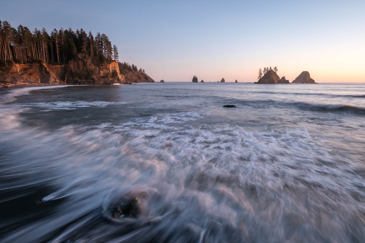
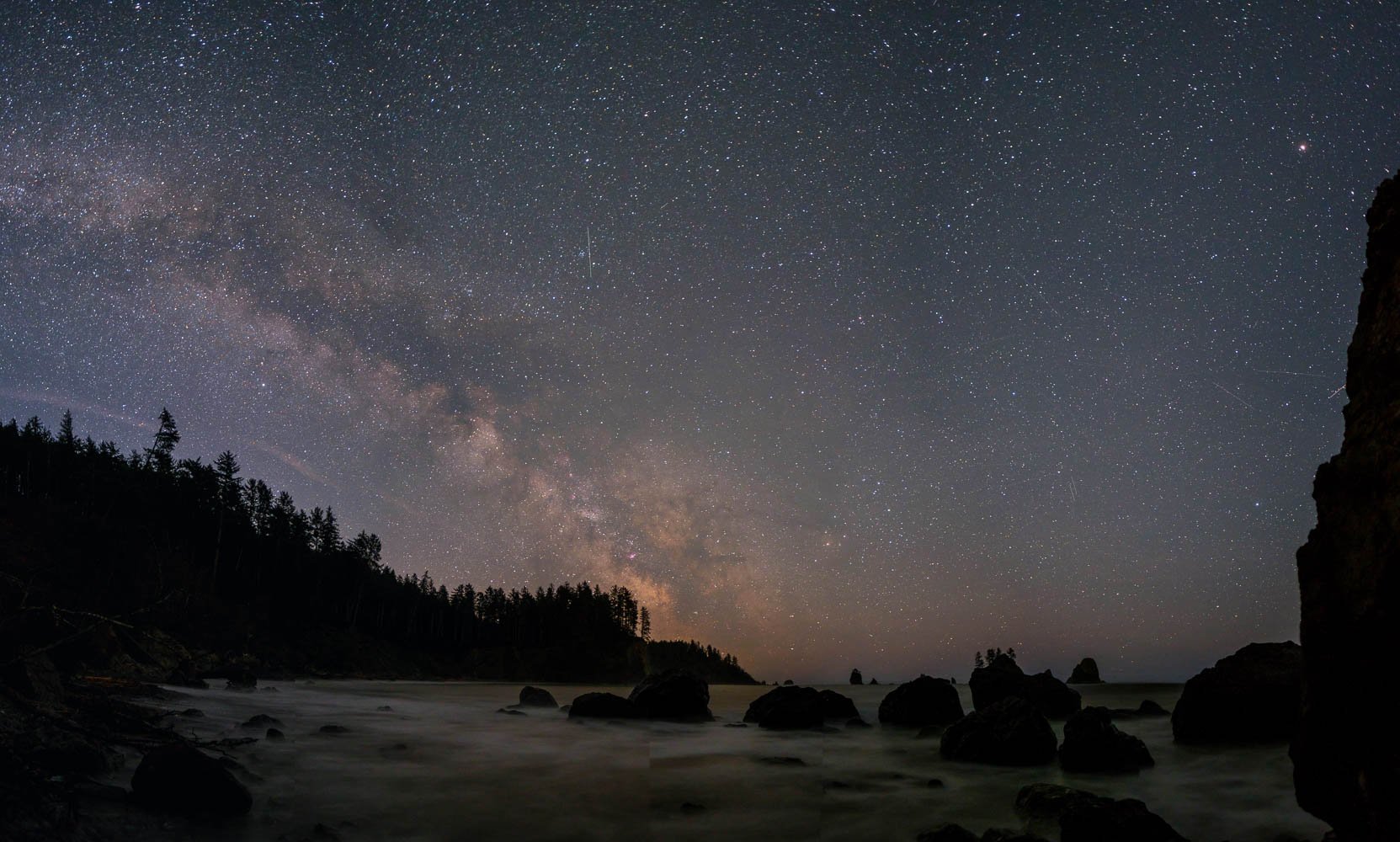
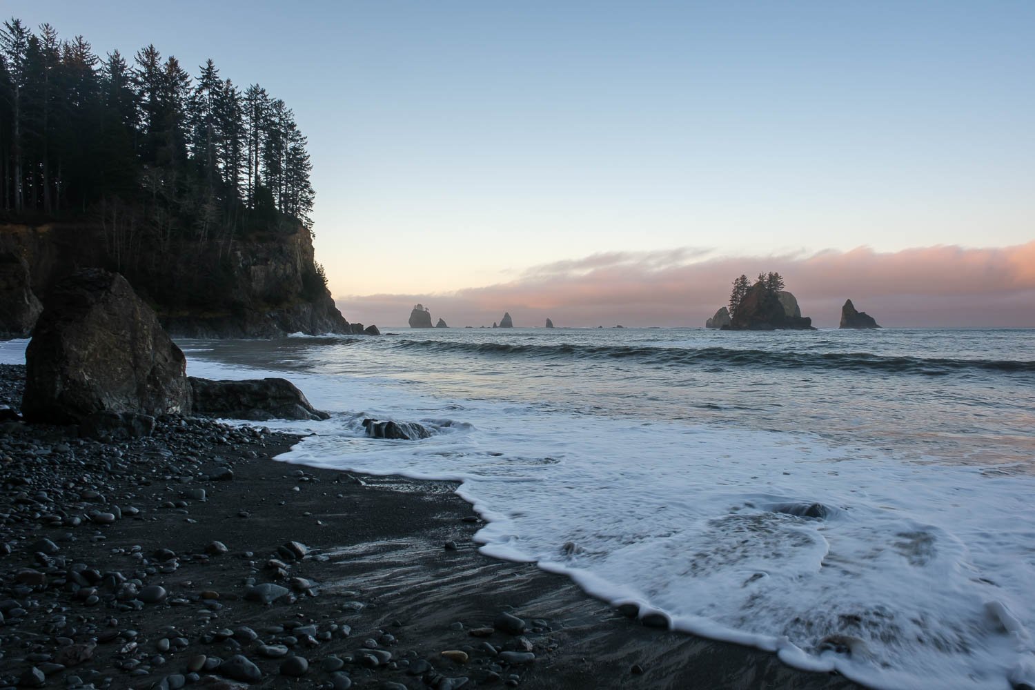
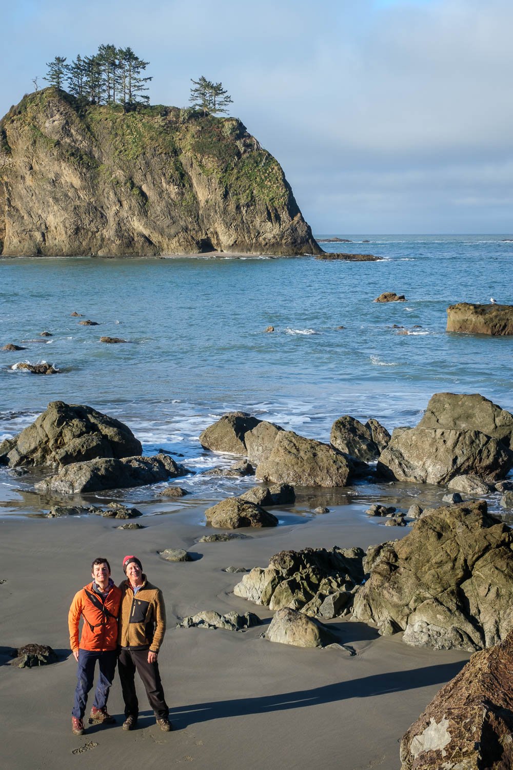
Back in March, I went on a very lovely low key overnight with Dad in the Olympics. We headed down to Third Beach and hiked a short distance south before camping in solitude and enjoying a lovely sunset. Pics below!
Trip Report: Ruby Mountain Overnight
A few weeks ago, I got out with Alex, a new friend of mine from UW, and we camped on the summit of Ruby, a peak I’d never been up before but had been on my list for a while. Ruby offers stunning views in all directions of most of the major summits of the North Cascades, and we had a great time lounging around and taking lots of photos.
Here are some of my favorites!
The Jagged Ridge and the Nooksack Cirque, as seen from the summit of Ruth. Seahpo at left, the Nooksack headwall shrouded in clouds, and Shuksan’s summit at right. Note Baker hiding behind Shuksan with the summit just visible.
Trip Report: Nooksack Traverse from Ruth to Icy to Shuksan
The weekend before last, Matt and Adam and I headed out to do a traverse that I’ve been excited about for years: climbing Ruth via the Ruth Glacier, heading over Icy, and crossing the massive Nooksack Cirque below the stunning and appropriately named Jagged Ridge before climbing up onto Shuksan’s upper slopes and exiting via the White Salmon Glacier. Bonus points if we could summit Shuksan. I know of a few people who’ve done this trip in the other direction, starting by climbing Shuksan and heading out via Ruth, but finishing on Shuksan seemed fun to me - something about ending with the highest summit seemed sporting, skiing the White Salmon seemed neat, and this way, we’d also get a nice look at the Nooksack Headwall instead of dropping into it sight unseen. It ended up being an amazing three day trip that I’m sure will be a highlight of the season, with some incredible views, good company, and just enough variable weather to keep things interesting.
A tasteful amount of dirt skinning on the Hannegan Pass trail.
Day 1: After a leisurely start leaving Seattle, we hid my bike in the woods at the bottom of the Hannegan Pass road then drove to half a mile shy of the summer trailhead before getting stopped by snow. We left the car at 12:30 and started skinning directly, opting to leave our trail runners in the car, a decision that seemed to be the correct one. We ended up being able to skin all the way to the summit of Ruth with just a tasteful amount of dirt skinning, following the summer trail for much of the way before dropping to the valley bottom for the rest of the way.
Matt and Adam heading up Ruth under grey afternoon skies.
After a quick lunch break at the base of the climb up Ruth proper, we headed up towards Ruth’s North Ridge, opting for the direct route rather than heading over to Hannegan Pass. As we climbed, a fairly thick overcast came in, with low clouds over Redoubt and the Pickets. At the ridge, the wind picked up dramatically, and it felt ominous. We picked up the skin track from two men we had run into earlier, and headed up the ridge at a leisurely pace to the summit at 17:45.
Thankfully, as neared the summit, the sun started to come back out, and we watched clouds blow up from the Nooksack valley and dissipate. We set up camp on the bench just below the summit, which was pleasantly sheltered, and had an absolutely stunning sunset with clouds blowing around Icy and Shuksan.
Day 2: The wind shifted during the night, and we ended up getting pretty blasted in the tent, with the entire vestibule filling up with a foot and a half of drifted snow, burying our boots. Things seemed more pleasant after the sun came up, and we had a nice sunrise, although it was still fairly overcast. It was cold at camp in the wind, so we packed up quickly and at 8:15 skied down firm refrozen southwest facing slopes to the gully that gives access to Icy, then down to our transition point before stopping in the shade out of the wind to make breakfast.
Adam skiing firm slopes just below the summit of Ruth, with the Jagged Ridge in the background.
At 9:30, we put skins on and climbed to the ridge crest, then picked our way up pleasant slopes towards Icy, weaving around the crest before eventually picking the western side, which we took most of the way to Icy’s summit. At the highest possible opportunity, we cut back left to gain the top of the Spillway Glacier, and traversed some steep snow to reach the saddle between Icy’s two summits at 10:50. From there, we skinned up a steep (45 degree) northeast facing slope, then dropped packs and skis and booted the short distance to the West Summit of Icy.
Adam setting a skinner up towards Icy.
Matt and Adam on top of Icy, with Larrabee, Slesse, and Ruth in the background.
Adam skiing a short couloir just below Icy’s summit.
We returned to our skis and dropped in at 11:30. We skied a short couloir down to the south side of Icy, then followed the obvious route down enter the Nooksack Cirque, intimidating and beautiful. We skied down to 4,700 feet on a descending traverse, with even some powder in spots, before having lunch and putting skins on.
Matt and Adam taking in stunning views of the Nooksack Cirque, with our route laid out before us.
Skinning up the East Nooksack Glacier, with the Jagged Ridge looming overhead.
We made a pretty flat traverse above cliff bands until we were most of the way to the lookers right side of the cirque, then made a long and hot but straightforward and beautiful climb to gentler slopes on the the upper East Nooksack Glacier below the headwall. The headwall was a 50° snow slope with a few small and avoidable bits of ice, and really didn't look nearly as bad as we worried it might be. We skied up to the bergschrund, then booted the last 200 vertical feet. I thought it was nice to have crampons and an ax, although we did not use our rope. If you did want to protect it, one or two ice screws would be helpful. We topped out onto the Crystal Glacier at 15:30... Beautiful.
Adam booting up the Nooksack Headwall.
Adam and Matt topping out the Nooksack Headwall, with stunning views of Nooksack Tower behind.
We made quick time crossing the gentle Crystal Glacier to the Sulphide, and continued a bit further, trying to find a sheltered spot out of the wind. After 20 minutes or so digging out the beginnings of a snow cave to leave our overnight gear, at 16:50 we started up towards the summit pyramid.
Our snow cave below Shuksan’s summit, about 1,000 feet above us. Scale is hard to perceive up there.
We skinned to about 600 feet below the summit, then booted up an existing bootpack, leaving our skis 300 ft below the summit. It was steep snow but not bad, and crampons and an ax were definitely mandatory for the rime ice at the summit. Summited at 18:00, and a chilly breeze meant we didn't wait around for long. We took our time facing in to downclimb safely to our skis, then quick skiing back to camp at 18:40. We spent another half hour digging out a nice snow cave, which the boys very kindly finished up while I took pictures of the beautiful sunset. We went to bed thrilled that we’d accomplished the trickiest parts of the route, with relatively well known terrain that should make for a quick final day.
Sunset behind Baker on the upper Sulphide Glacier.
Matt and Adam, soggy but in high spirits.
Day 3: After a somewhat soggy night, I awoke at sunrise, knocked spindrift out of my boots, and crawled out of our cave where I was surprised to find a total whiteout despite the forecast calling for clear skies. With no views whatsoever, we had a pleasant enough time packing up and making breakfast in our cozy cave. After an hour or two of waiting with no signs whatsoever of improving visibility, at 8:50 we started skiing down towards Hell's Highway across the Sulphide Glacier, paying careful attention to the GPS since we couldn't see anything.
Home sweet home. Nice to be able to pack up out of the wind and blowing snow.
Dropping into Hell's highway was very intimidating, just a steep gaping maw full of cloud and howling winds. Once in it, however, the skiing wasn't so bad, and we quickly transitioned to traverse the Upper Curtis. We picked our way across the glacier in the whiteout, then dropped in towards Winnie's Slide. Navigating on the glacier in the whiteout was quite daunting, as we lost the previous day’s tracks and couldn't see anything. There were crevasses and steep wind lips that didn't show up on the map, and I kicked myself for not looking more carefully when I could see down onto the Curtis the night before. We skied carefully, and eventually made it down and crossed the ridge onto Winnie’s Slide at 10:00, relived to once again see many tracks marking the way. Whew.
Matt and Adam skiing on the Upper Curtis in a whiteout, navigating through steep slopes and exposed ice.
We skied the White Salmon in incredibly heavy snow, kicking off massive roller balls. After a thousand vertical feet, we finally dropped out of the clouds to find to our surprise that the entire range to the north was overcast, with all of the summits of the Border Peaks and surrounds in the clouds as well. It was a shame to have skied the White Salmon and everything above it without being able to see the incredible terrain we were in, but we made it down safely and still had fun.
The boys below the White Salmon, relieved to have better visibility.
We skied along the valley bottom without much trouble to 2,800 ft, then climbed up to the ski resort boundary, mostly booting. Adam took his time while Matt and I went ahead to get a head start on retrieving my car. Only a few minutes of skating brought us to the White Salmon lodge just past noon, and Matt waited for Adam while I went car to car in the parking lot, asking if anyone would give me a ride down the highway. Eventually two older gentlemen acquiesced, and 20 minutes later I was grabbing my bike out of the woods. It was a lovely ride up through the forest back to my car. On the drive back down, I thought to myself how badly my ski boots were really stinking up the car, before I realized it I had left them where I retrieved my bike - they weren’t even in the car yet!
Trip Report: Tatoosh Traverse
A few weeks ago, in early February, Matt and Adam and I set out to ski a route that has always intrigued me: the Tatoosh Traverse, as described in Martin Volken’s guidebook. The Tatoosh offers beautiful views of Rainier, and I liked the idea of completing a traverse, crossing the crest of the range many times, and visiting some spots I hadn’t been to before.
We set out with gear for a three day trip, initially hoping to head all the way out past the Park boundary to Tatoosh Peak, but unfortunately, worse-than-anticipated weather had us abandon this idea, and downgrade to a single overnight. One of the draws of the Tatoosh Traverse is that has many options to shorten or lengthen the route by adding additional summits and/or exiting in different spots - while this is an excellent perk, to me it did end up making the route feel a bit more contrived and like less of a remote experience. Still glad to have done it, though!
Matt and Adam demonstrating proper alpine layering systems at Snow Lake.
We left Matt's car in Longmire after getting permits, and headed up to Narada Falls. The drive up reminded us of the grim state of the snowpack, and the weather was overcast with some sprinkles. Leaving Narada Falls at 10:20, we followed the Stevens Canyon Road to the summer trailhead for the Bench, which took a bit over an hour. With lots of exposed alder there with some unpleasant brushy bullshit to get to the Bench proper. After a healthy dose of exposed creek crossing silliness, we made it up past Snow Lake and stopped for lunch at 12:45. At this point a squall came in, with poor visibility and properly accumulating snowfall, something that would be a theme for the rest of the day.
Matt and Adam skinning towards the Unicorn-West Unicorn Saddle.
Matt and Adam on the summit of West Unicorn. Not pictured: stunning views of Rainier right behind them!
We made slow progress climbing up some unpleasant refrozen avalanche debris, then easier going above the cliff bands to the saddle between Unicorn and West Unicorn just before 15:00. With the skiing on the far side looking like a whiteout and not too promising, we instead ditched packs and skis and booted up Unicorn, which had a short steep rocky section guarding easy booting to the summit - 20 mins from the saddle. Without any views, we dropped back down and then up West Unicorn, which had a bit more involved scrambling and a bit steeper snow, reaching the summit as it was snowing pretty hard. After descending back to the saddle, we found a gorgeous cool cave to pitch tents in - very nice to be sheltered as it had snowed a few inches and we were getting a bit soggy. It steadily got dark as we set up camp in the snow and whiteout, but after dinner the clouds dropped and stars came out - stunning. We walked back up to the saddle to look at Rainier - really gorgeous.
Our cozy camp, sheltered in a cave below West Unicorn.
The clouds dropped after dark, revealing Rainier and beautiful stars.
After a pleasant night of sleep, I woke up before sunrise and talked the boys into going back up Unicorn to enjoy the view. Stunning in all directions, with clouds in the Cowlitz valley to the south, lovely views of the Goat Rocks, Adams, Saint Helens, and of course, Rainier. The previous day’s snow had coated the trees, making for plenty of texture to catch the morning light.
Sunrise to the southeast, with stunning views of Adams, Saint Helens, and even Mount Hood! Note my footprints in the bottom right.
Morning light on Rainier from Unicorn Peak.
Foss Peak gets in on the sunrise action.
We leisurely packed up camp, and at 8:45 skied back down towards Foss Peak, then put skins on the climb up to the Foss-West Unicorn saddle. The climb up to the Pinnacle-Plummer saddle looked melted out and brushy, so we opted to stay high. We skinned up to below the summit of Foss, then made a descending skiing traverse to the saddle between Foss and The Castle, then made a rising skinning traverse below The Castle to the Pinnacle Plumber saddle, arriving there at 10:15. We skinned a bit further towards Plumber, then transitioned and dropped in towards Cliff Lake. It was a quick climb up to the Lane-Denman saddle, and an even quicker descent down to the small lakes on the far side. We stopped here to fill up water and have some food, then at 11:45 headed up towards Wahpenayo, skinning up to the southeast ridge without much trouble, then traversed, climbing up one more ridge before dropping our skis and scrambling a short distance to the summit at 12:45. All this sounds complex, but is quite straightforward and quick.
Adam and Matt skiing down towards the West Unicorn-Foss saddle after breaking camp.
Adam traversing the slopes of Foss Peak, with Rainier looming large in the distance.
Traversing the south-facing slopes of The Castle in the sun, while Unicorn (and our camp) remain shrouded in clouds behind us.
It was a quick descent and short climb up to the saddle between Wahpenayo and Chutla, which was quite windy! We started our final descent just before 13:30. After a short bowl, the forest skiing was really quite atrociously bad but very entertaining. We barely made it 15 minutes before starting to run out of snow, and ended up shuffling along bare sections of trail before finally giving up at around 4,000 ft. No snow at 4,000 ft! In February! We strapped skis to our packs, and headed down the trail and across the cool wooden suspension bridge over the Nisqually, arriving back to the car just after 14:30.
Matt making the most of minimal coverage on the Eagle Peak trail.
Adam squeezing every last bit out of the atrocious midwinter snowpack.
Best Photos of 2023
2023 was a truly amazing year, with so many things to be thankful for. Becca graduated with her PhD from UC Santa Barbara (congratulations!) and we both took the summer off to travel, with amazing trips to the Karakoram Mountains in Pakistan, Turkey, Sweden, the Lofoten Islands of Norway for rock climbing, and many more special destinations. We are so lucky to have been able to visit so many beautiful places. After an busy summer, Becca moved up to Seattle, and life together has been action-packed and wonderful. We had an amazing fall, savoring the beautiful foliage that seems to last forever in western Washington, as long as you pick the right terrain to look for it. Adam and I took a quick trip to southern Utah for our birthday with some great friends, and then we had an amazing start to the ski season, with a big storm followed by an unusual high pressure system keeping the North Cascades Highway open through Thanksgiving, making for easy access to some stunning mountains beginning to grow their winter coats.
Here are some my favorite images from the year!
Trip Report: Early Season Trappers Peak Jaunt
Yesterday I took advantage of the nice weather to head up to Trappers Peak for a solo sunset romp. I was able to make it all the way to the summer trailhead with only a little bit snowy driving with three or four inches of snow on the road at the TH. I saw one other car at the trailhead - thanks to them for clearing a bunch of trees off the road!
I started hiking a little before noon. There's currently only patchy snow on the old road grade. After following the trail to where it leaves the road bed at 3100 ft I caught the party of three, fully kitted with snowshoes, ropes, ice axes, and pickets. I booted, following the trail, through the very minimal snowpack to 4,000 feet, where I transitioned to skinning - a marginal 6 inches or so of snow on the ground. Once in the 4,300 foot basin, the snow depth improved somewhat, and I left the trail and just headed towards the ridge - maybe 3 feet of snow on the ground, all of it wet and heavy, with plenty of rain runnels.
I got on the south ridge of Trappers at 5,100 feet, and, after booting a short steep snowless section at 5,300 feet, was able to skin all the way to the summit without much trouble. There was a nice breakable crust above ~5,000 feet, which made for easy skinning but unpleasant skiing. Pretty windy above tree line, and I reached the summit at 15:30 - stunning views. I hung out on the summit for sunset, then headed down a bit before 17:00, skiing by headlamp.
I ran into the other party, who had turned around at 5,300 feet, and were just finishing up a rappel - glad they got to use their ropes after all!
The skiing improved as I descended below the crust, and I enjoyed entertaining slush skiing as low as I could go, retrieving my boots most of the way down. I called it at around 3,700 feet, and hiked back to the car, arriving at 19:00. What a gorgeous evening!
Trip Report: Corteo Peak Circumnav via Black Peak, Last Chance Pass, Rainy Lake
Matt and I had a great trip up at Rainy Pass on Thursday, May 11, 2023, to celebrate the opening of the highway for the season. It seemed fun to shoot for a longish loop that would get us further away from the highway. We opted for the Black Peak/Last Chance Pass loop as described in Martin Volken's guidebook, but with a modified exit to go out via Rainy Lake rather than Maple Pass and Lake Ann. Rainy Lake is already quite melted out, however, and so I probably wouldn't recommend going that way, especially after this weekend's hot weather.
After too-little sleep in the East Creek trailhead, we left Rainy Pass just before 6:30. Currently, there's about three or four feet and snow on the ground at the pass, and it had refrozen nicely overnight. We made efficient time up to Heather Pass at 7:45 with lovely views. There's a pretty impressive very large avalanche still visible on the north-facing slopes above Lake Ann which deposited a huge debris pile in the middle of the lake.
We ripped skins for the quick traversing descent to Wing Lake, then skinned up to the saddle south of Black Peak, booting the last 10 feet. The slopes on the south side of the saddle are melting out quickly, and we continued walking up the exposed summer climbers' trail and booting up firm snow to just below the summit. We used ice axes but did not need boot crampons. Dropped our skis below the summit and scrambled the last ~200 feet to the true summit, arriving a few mins before 11. Gorgeous views.
Back to skis and dropped in at 11:30. We had delightful skiing on great corn down through a one of the south face gullies and then on open fast slopes that became a bit gloppy lower down. Once lower down in the valley, we traversed a little skiers' left to Woody Creek at 58,00 ft and headed up towards Last Chance Pass following the route we had scoped from above - one steeper section of traversing above a small cliff band that was not so bad with the easy travel conditions we had. Once on the saddle at 6,900 ft dividing Woody and Falls creeks, it was easy traversing without descending to Last Chance Pass just before 13:00.
The guidebook-forewarned cornice at Last Chance Pass was a non-issue, and we enjoyed slightly heavier and slightly less interesting skiing down the drainage from the pass. At about 5,800 feet we cut out skiers' left and traversed through mostly open slopes down to Maple Creek at 5,150 feet. After fishing some water out of Maple Creek via a treewell, we continued towards Frisco. Followed the creek up to about 5,600 ft, then cut right and picked our way up a steep bench and onto mellower terrain. We followed a small ridge up easily to the saddle just north of Frisco at 15:10. The saddle had melted out so we had to walk the last five feet.
We dropped in towards Rainy Lake and enjoyed beautiful but gloppy skiing to the 5,800ft flats. We carefully picked our way down the steep forest before traversing back south below the big waterfall, as Rainy Lake had melted out enough that we didn't want to ski across it. We traversed as far as we could down to the lakeshore before throwing skins on and traversing around the south side of the lake - the north shore was more melted out and looked unpleasant. A quick skin through the woods and then along the highway back to the car at 16:45 - amazed we didn't see anyone all day!
Trip Report: Kyes Peak via Monte Cristo Pass
Matt and I had a grand time skiing Kyes last weekend. I had always wanted to visit Monte Cristo, and it seemed like a great weekend for it. We brought mountain bikes for the road, and left the car at Barlow Pass at 15:30 on Saturday afternoon. It was fun but slow going up the old railroad grade, with plenty of blowdown, hike a bike sections, and a few snow patches to keep us busy. We made it to Monte Cristo in an hour and stashed our bikes on the far side of town - super cool to see what remains of the the former railroad and mining operations.
At 16:45 we headed up the trail towards Glacier Basin. It was hot going up the deep rocky and rooty section of the trail next to the waterfall. We hit our first patches of snow at around 3,800 ft and the short section after this was annoying, with the trail bed full of snow, flowing water and post holing. Pretty quickly however, the snow became continuous as the trail wrapped around into the hanging valley at 4100 feet. We dropped 20 ft down to the creek and ditched our trail runners and started skinning up the valley at 18:00.
Glacier basin was beautiful and melting out quickly. From below, it wasn't obvious that the route up to Monte Cristo pass would go, although it did without much trouble - nice to not be a week later though. The route has two steeper sections, the first of which gets you into the gentler basin at 5400 ft, and the second of which climbs around a rocky bump and gives you access to the slopes below the pass. The second steeper section we booted the last 30 feet, to find gorgeous views and easy skinning. At 19:30 we reached a lovely spot to camp on the ridge just west of the pass, with both running water a short walk away and a small but dry tent site right on the ridge.
We had an exciting night, getting woken up twice, the first time by lightning and thunder, and to discover that we were in a whiteout, and the second time by rain, which caused us to scramble to hide our things. Nonetheless we awoke at daybreak to find nice weather, with an undercast below us on both sides of the pass.
We left camp at 7:20 and booted down heathery ledges and a short bit of snow to avoid some glide cracks, then carefully skied, linking snow ramps to the Columbia Glacier. At 7:45 we put skins on and headed up the somewhat daunting looking route towards the false summit of Kyes, made more daunting by periodic whiteouts blowing in from the fogbank over Blanca Lake.
We booted 300 vertical feet of steep snow, crossing a few morainal dirt ribs, then started skinning again once above the melted out waterfalls. From here we made a gently rising traverse to the south to cross the rib coming down from Pt. 7025 at about 5850 feet, which was a bit too high, we should have stayed a bit lower and had to remove skis briefly. Past this we cruised up Pt. 7025's SW slopes to the 6600+ foot saddle a quarter mile south of Pt. 7025, and with a little shenanigans, got onto the snowfield on the far side. From here, easy skinning took us to the base of the summit block in fifteen minutes. It wasn't obvious which scrambling route up to the summit was best, but we opted to stay climbers' left, close to the ridge. 100 feet of easy Class 2 scrambling brought us to the summit at 9:25 - All in all, the route was easier than it looked from below, and we didn't use ice axes or crampons (which we didn't bring). The summit was fun and exposed, however it was pretty overcast which reduced views. Per the summit register, we were the first party on top since September.
The weather seemed to be coming in, so we scampered down at 9:40. Once back at our skis, we opted for a slightly sportier line, staying skier's right of our uptrack and bypassing the 6600+ foot saddle by way of a fun couloir closer to the summit of Pt. 7025. Below this, we crossed the ridge dropping from Pt. 7025 higher than we did on the way up, at 6400 feet. We enjoyed fun skiing which was unfortunately in a whiteout down and across the morainal rib and down to the glacier, a bit disorienting. We put skins on and followed our tracks back up towards the pass at 10:20. Fortunately the clouds broke enough for us to ski and boot our route back to camp without trouble, arriving at camp at 10:45.
We left camp at 11:15 and had fun skiing down to the bottom of Glacier Basin, where we saw some fresh bear tracks! Then just a small amount of sidstepping and pushing brought us back to our trail runners at 5200 feet at 11:35. Strapped on the skis and headed down the trail at 11:45 and into town at 12:30. We biked out of town at 12:45 and had a lovely ride, punctuated only by the bummer of a friendly passerby telling us my car had been broken into. Bummer. Back to car 13:20.
Best Photos of 2022
Another year down, and I feel super lucky to have gotten to travel to some incredibly beautiful places both close to home and more distant, as well as both some delightfully familiar places and some exciting new ones. 2022 started out with a fabulous ski season before a long, wet spring that kept some of my bigger ski mountaineering goals out of reach, with a notable exception of a ski descent off the summit of Rainier in May (although no photos from that trip made the cut for this album). Then, once the snow melted, I had a lovely summer, with highlights including another trip to visit the Vincents in the Tetons, with stops in the Palouse and Glacier on the way to and fro, plus trips to the Adirondacks and no shortage of Cascades shenanigans close to home. Adam and I got out for a great brothers’ trip via a less popular route into the heart of the southern unit of North Cascades National Park, and Alex visited from California to join on a great trip with the boys into the Southern Pickets via the more challenging approach of Stetattle ridge. As Fall came around, I got out for one last solo trip to climb Mounts Fisher and Arriva with a camp at Silent Lakes, a place Dad had inspired me to visit. I wrapped the year up with a trip back east for some Fall foliage, a trip to Oregon for Thanksgiving, and then started the ski season strong with an adventurous traverse with Matt through some new-to-me parts of the Alpine Lakes Wilderness.
Here are my favorite photos from the year!
An overview of our route, with our start-point at Alpental in the lower-right corner, and the Middle Fork Trailhead, where we ended the trip, in the upper left. Click here for larger map.
Alpental to Middle Fork Snoqualmie Traverse via Holy Diver Couloir, Mount Caroline, Preacher Mountain Couloir, and Rainy Lake
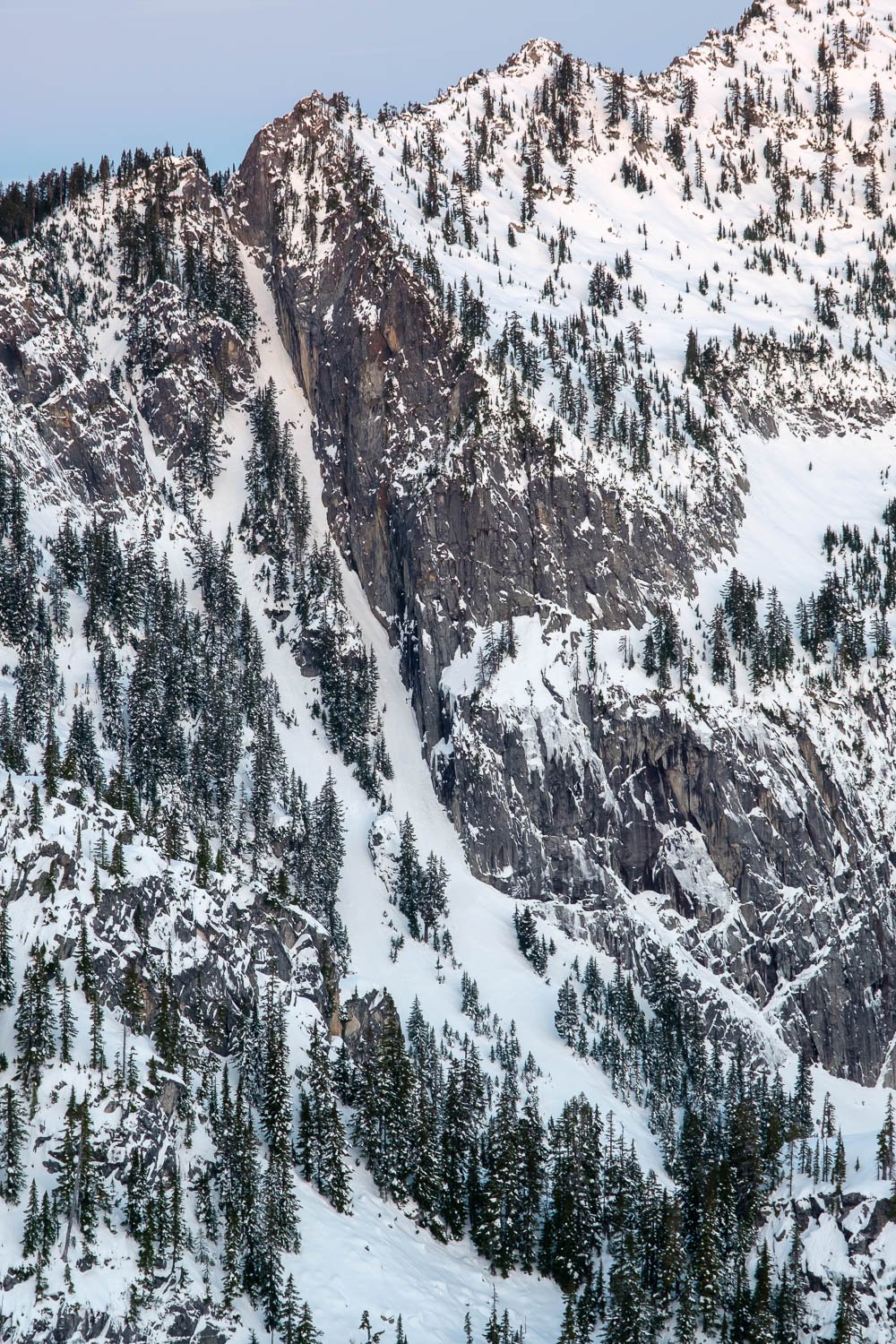
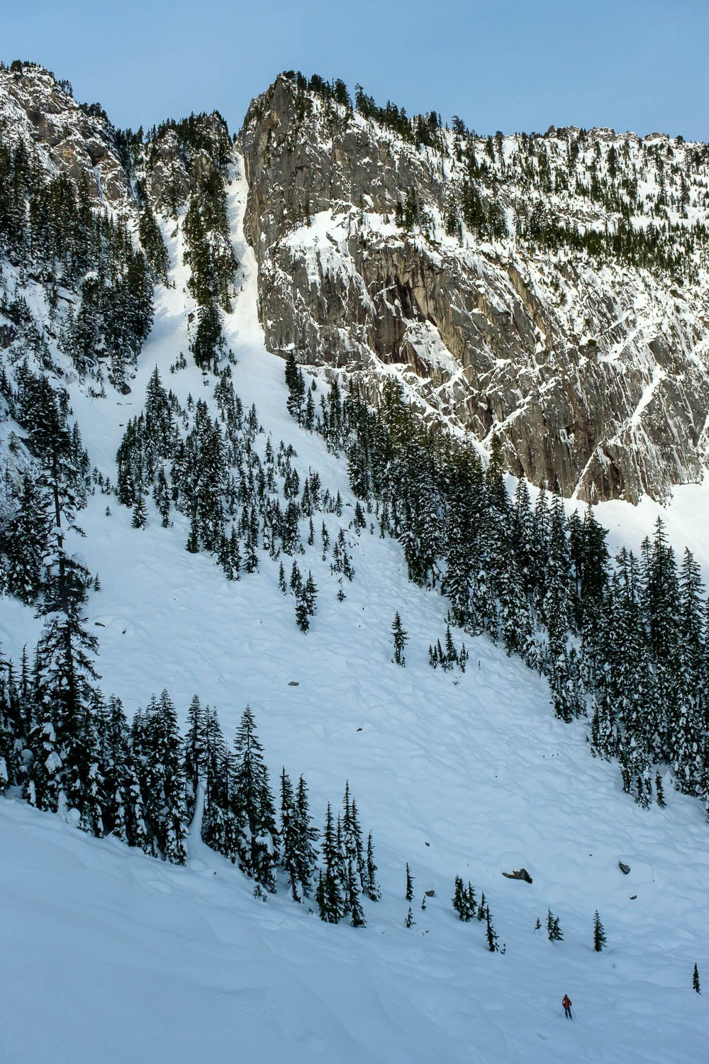
Over the weekend, Matt and I skied from Alpental to the Middle Fork trailhead along the crest of the sub-range that runs NW between the Middle Fork and Pratt River valleys. For me, the primary reason for checking this area out was, in addition to seeing some places that I haven't been before, getting a chance to take a look at (one of the) Preacher Mountain Couloir(s) that caught the eye of my brother and eye from Mount Snoqualmie a few years ago. There are a few other TRs out there about other missions over to Preacher, including one in a day (!), but not too many details - and, in fact, since the SE aspect of Preacher seems to harbor several cool-looking couloirs, it's good to be explicit about which couloir I'm talking about - the couloir which drops to the east side of the South Ridge of Preacher, starting a notch on the South Ridge about 1/3 of a mile south of the true summit... which looks like this:
Preacher Mountain’s Southeast Couloir as seen from Mount Snoqualmie, February 2020.
Erik was kind enough to give us to a lift to the upper Alpental parking lot - opening day! Left the car just before 9. It was cold in the shade, in the mid teens! Decided to ski straight to Snow Lake instead of skiing the Chair Peak north slope descent to save a bit of time getting to the Diver. Made quick work up to Source Lake at 9:30, then skied over the Divide and down surprisingly good skiing with cold dry snow to Snow Lake, then started skinning across the lake at 10:20. Passed one party at the far side of the lake, and from there it was breaking trail the whole rest of the trip. Having scoped the route up Roosevelt from the lake, we decided to take the SE face instead of the East ridge because the ridge looked bony and we felt okay about the stability. We skinned up to the bench above Chair Peak Lake, then back north and up one 200 vertical foot but quite steep gully, skinning the whole way. I was glad to not be doing this when it was too much warmer, as it definitely could have significant risk of loose wet slides with fairly high consequences. Above this gully, a very short and gentle basin up to the entrance to the Holy Diver at 12:10. Nice views of Preacher, which didn't seem to have too much snow - foreshadowing? We hoped not.
We ripped skins and dropped in. Absolutely gorgeous views and great skiing - steep for the first little bit then quite mellow. A bit wind effected in spots but mostly great soft pow, and Matt caught me singing the eponymous song while skiing lower in the Holy Diver. Down where the drainage turns north, coverage was surprisingly thin, and we had to shuffle and side step in a few spots. We put skins on a short ways above lower Wildcat Lake and skinned to the lake at 13:00 where we ate lunch.
At 13:20 headed up to the upper lake, following the outlet, then filled some water to carry to camp. At 14:00 crossed the lake to the westernmost lobe, then climbed up the easiest route through steep slopes to hit the ridge between Upper Wildcat and the Derrick lake basin. There was a very strong temperature inversion at Upper Wildcat, with 16 degree temps at the lake and low 30s just a few hundred feet higher. We hit the ridge at 4,700 feet and followed it southwest through some steep, slow, and brushy terrain with entertaining hand-over-handing up bushes. We made our way to the base of the North Ridge of Mount Caroline (Point 5885T) then climbed up easy terrain along the ridge with gorgeous evening views to a nice campsite in some trees below the summit block at 5600 feet.
We enjoyed a lovely evening with great views of Kaleetan, Chair, Snoqualmie, Thomson, Chickamin, Lemah, Hinman, Daniel, Garfield, Glacier, and more. We melted snow for dinner and the next day, then Matt and I settled into the tent for our many hours of darkness. Overnight the wind picked up and there was a good amount of blowing snow and wind transport activity.
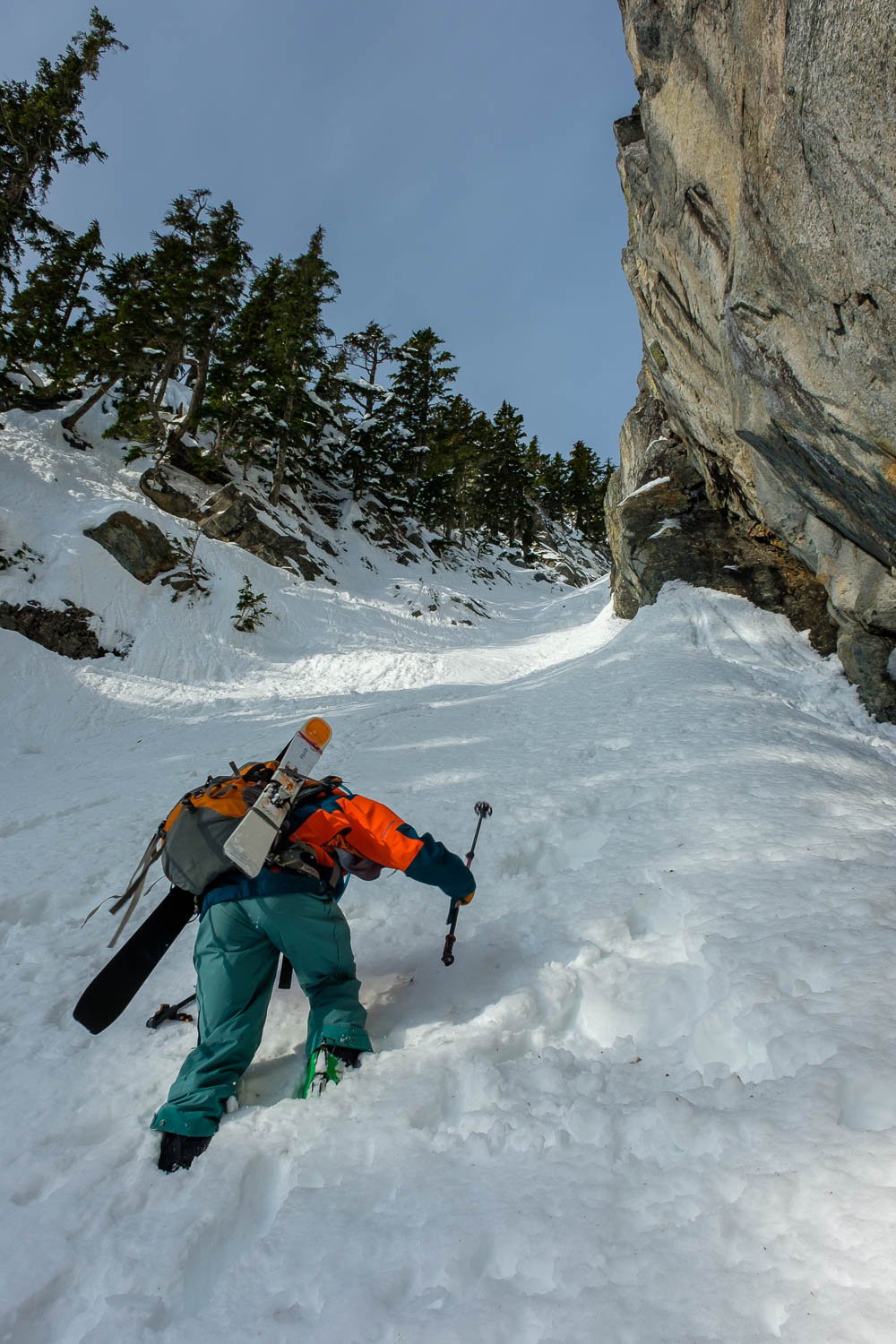
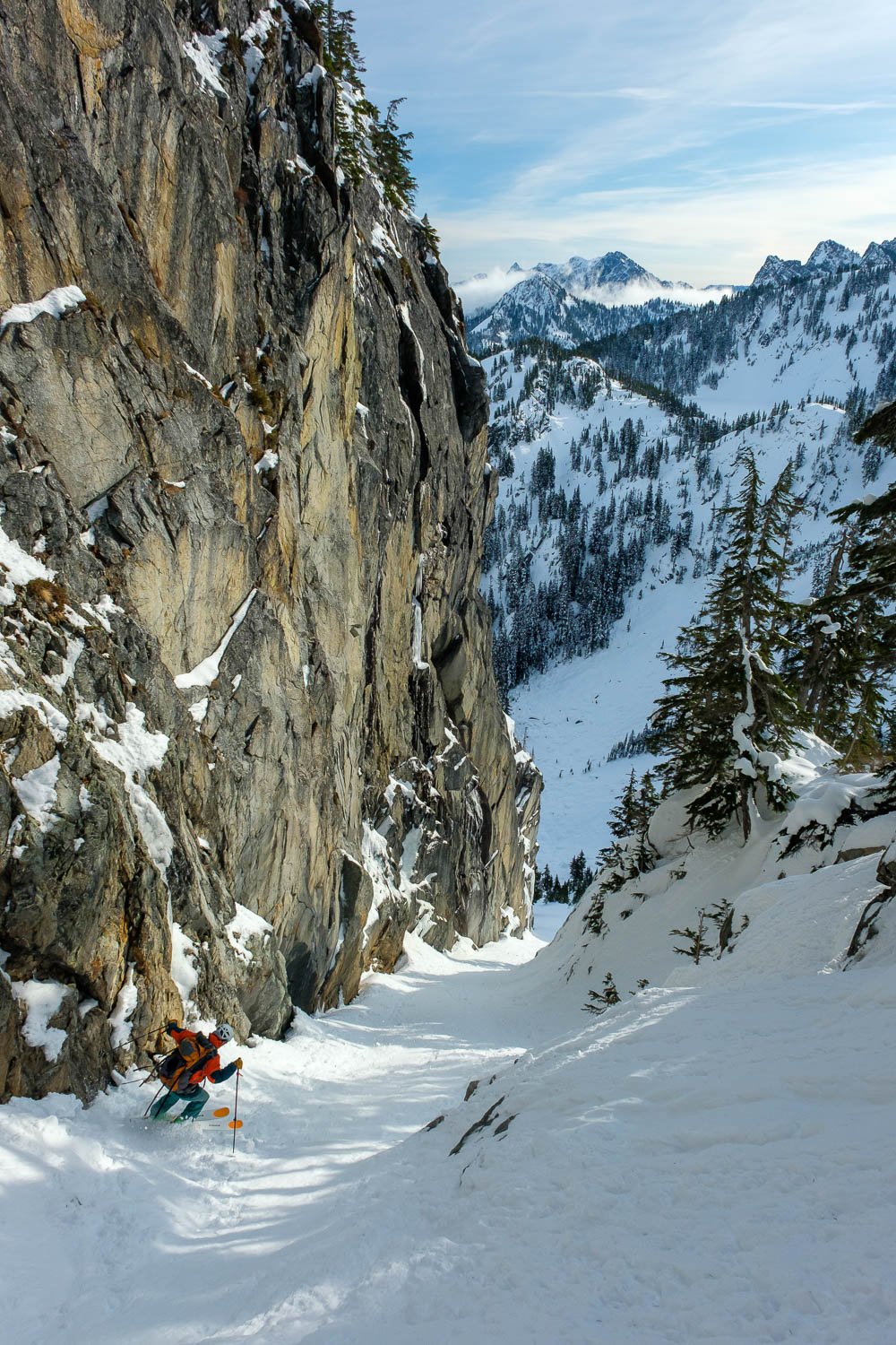
Woke up just before sunrise to take photos and pack up the tent, hoping to get a quick enough start to make it over to the Preacher Mountain Couloir with enough time to ski and still have plenty of time for the exit. We ripped skins and at 8:45 we dropped down and enjoyed lovely skiing to Caroline Lake, avoiding cliffs. Skinned up to cross the lake and exit the far side. Climbed over a tiny divide, then ripped skins and skied down into the head of the Hatchet lake valley. At 9:30 we put skins back on and climbed with packs to the top of the couloir fan around 4,750 ft, then dropped camping stuff at a large tree and continued up the gut of the couloir. We made it another 150 or so vertical feet before switching to booting, which was quite wallow-y - would have been nice to have ascent plates. The couloir is absolutely gorgeous though. After passing through the choke and where the couloir eased up a bit, we hit our bingo time and dropped in at about 5,300 feet at 10:45. The skiing was crusty and chunky with soft stuff underneath, but could have been a lot worse - good fun and very aesthetic.
We retrieved our gear and cut skiers left to descend along the fan to Hatchet lake. Skinned up and at 11:15 crossed to the outlet and started working up the toe of the East ridge of preacher, trying to keep in the most forested and lowest angle parts. It took us about an hour to get to 5,000 ft, very carefully picking our way up the steep terrain. The weather was coming in, and it was lightly snowing with bad visibility. From there, the ridge was quite steep on both sides, and we skirted two rocky bumps to the south before dropping into the basin on the north side of the ridge and making a rising traverse in a total whiteout. We crossed the north ridge of Preacher just south of the notch between the aforementioned and Point 5675T.
Ripped skins and dropped in at 13:30, skiing a much-better-than expected couloir down from the notch in the fog. This one needs a name! When the couloir opened, we trended fairly hard skier's left, dodging cliffs to hit the Rainy Lake outlet at about 3,300 feet at 14:00. We attempted to keep skiing down and over downed logs and creek holes, but quickly admitted defeat and set ourselves to downhill skinning, quite slow at times with brush, downed trees, and lots of creek crossings. After an hour and a half, we were happy to see our first signs of the snowcovered trail at about 2,400 feet, but it was still snowy enough at this point to not be of much use. Another valiant hour of skinning and sidestepping down steep brushy slopes brought us to 1,700 feet, near where the drainage jogs NW, and, as it was getting really truly dark, we put the skis on our packs and continued plodding downhill through about 8 inches of crusty snow. From here, the trail wasn't too hard to follow with care, and some very fresh Mountain Lion tracks led the way. We hit the Pratt River trail just before 17:30 and were at Matt's car not much later, the only car in the snowy Middle Fork TH lot. It was snowing all the way down to the road, and we were appropriately soggy and happy to have dry clothes waiting for us.
We brought ski crampons and trail runners, and used neither. All in all, a fabulous trip to some less-frequently-traveled areas of the Snoqualmie backcountry, and it was fun to do a through trip. It would have been nice to have a bit more time (or just longer days) to explore more of the terrain we passed by, and to do more skiing, and it's too bad the weather came in as we were climbing up Preacher Mountain on the way out, as it would have been nice to have some views to close out the trip.
Winter Flight to the Pickets for Sunset
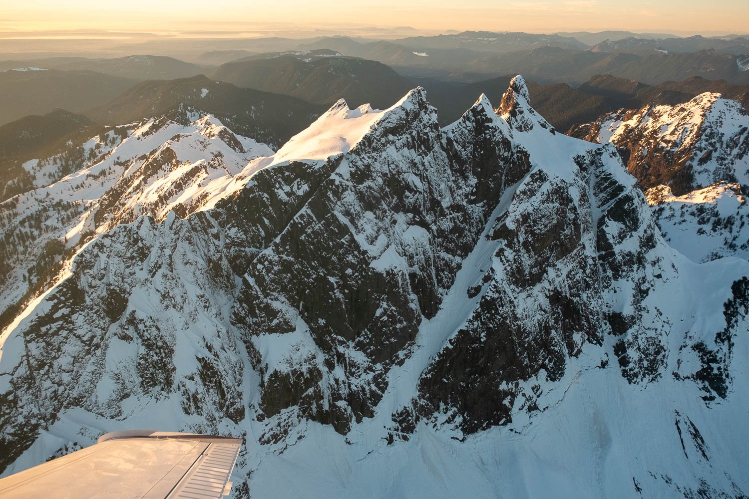
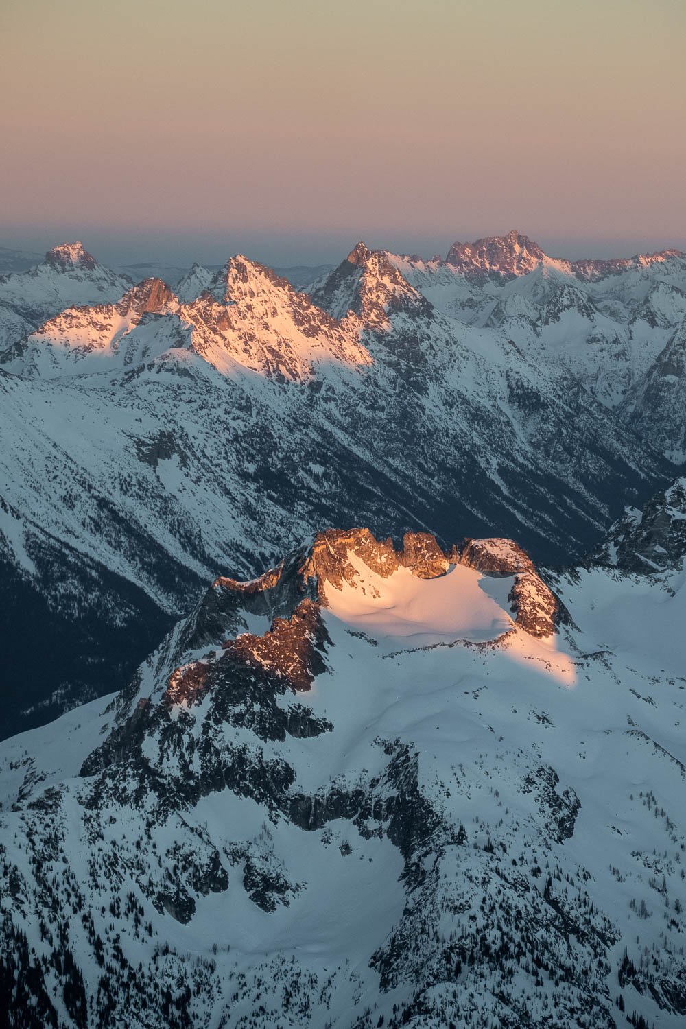
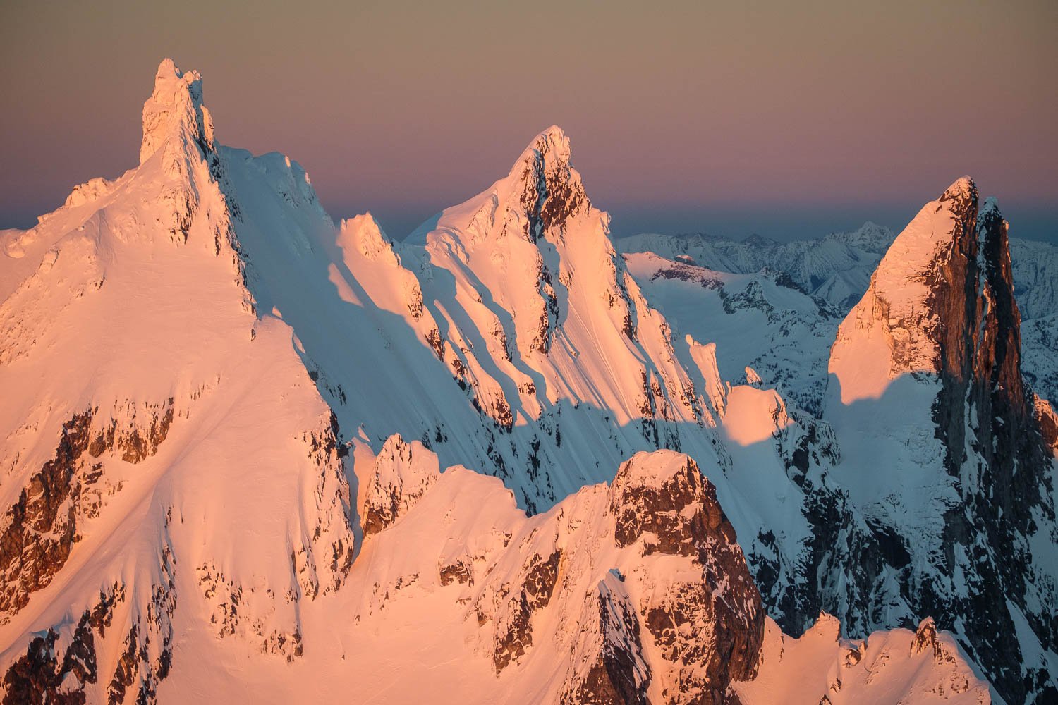
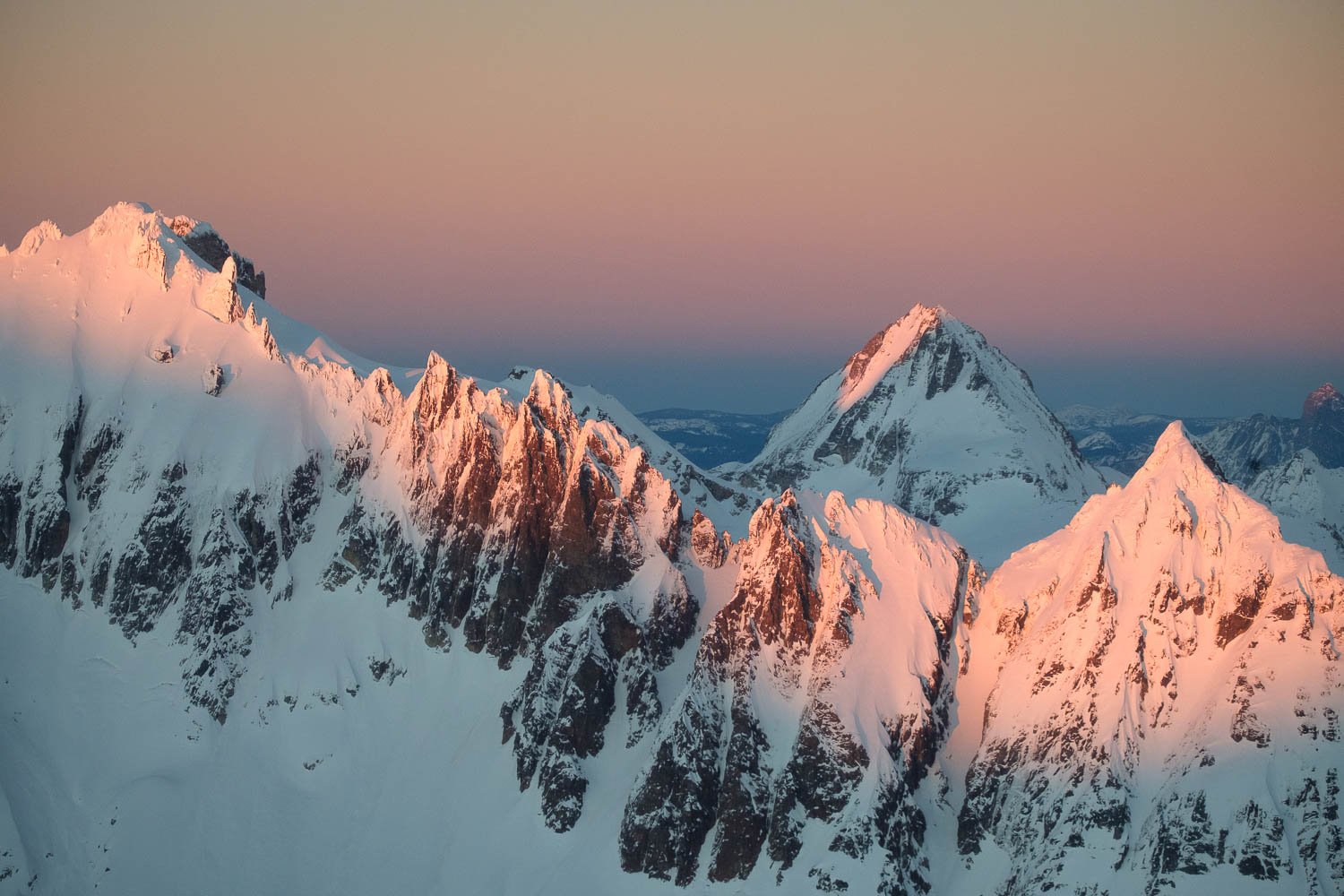
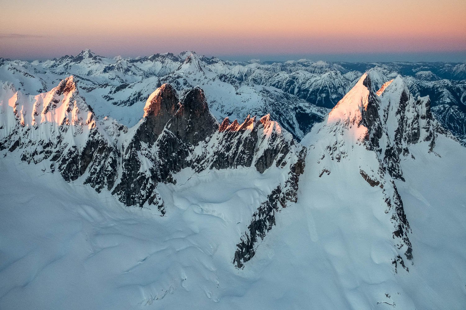
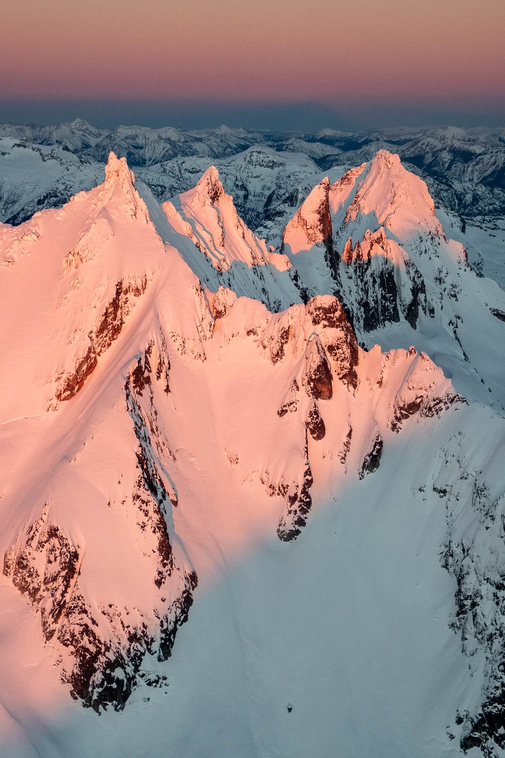
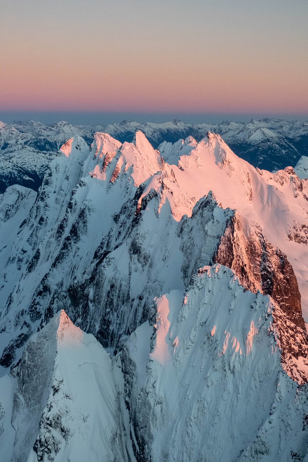
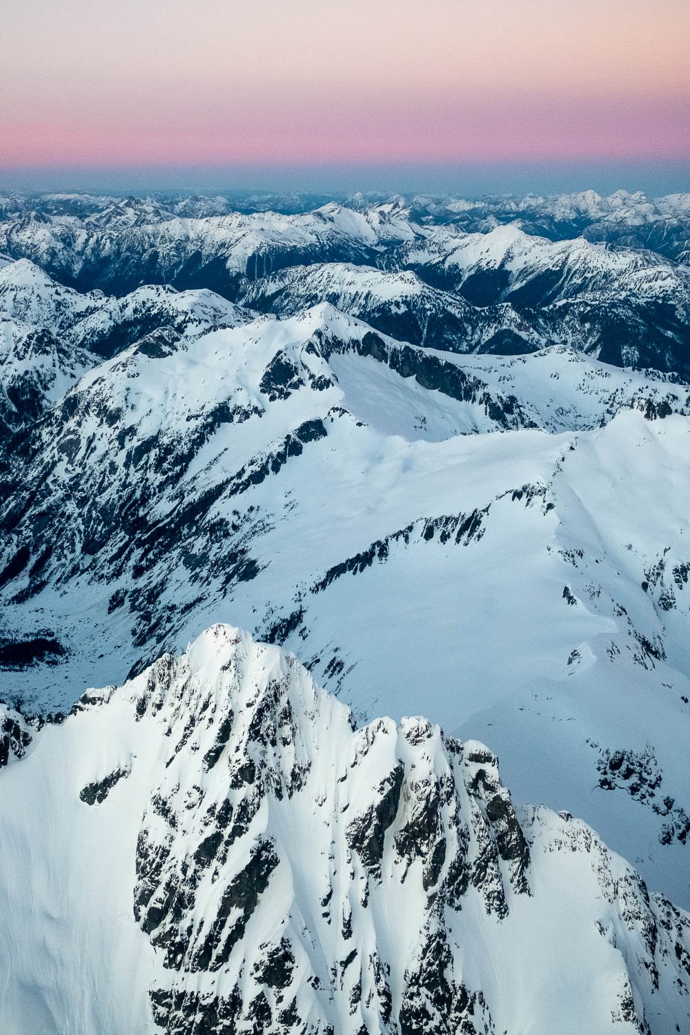
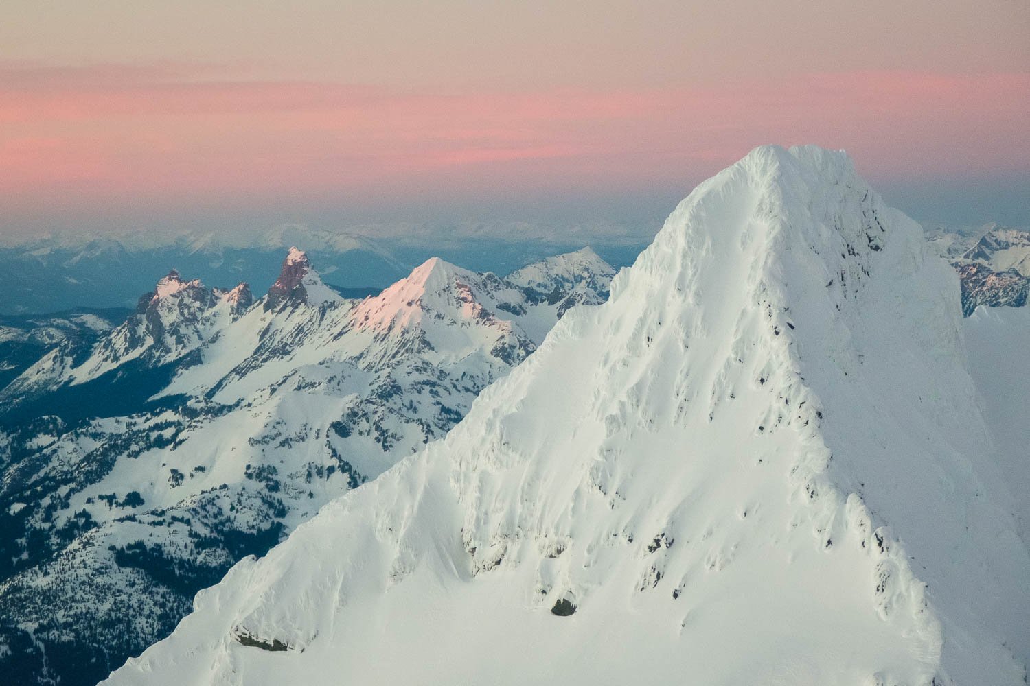
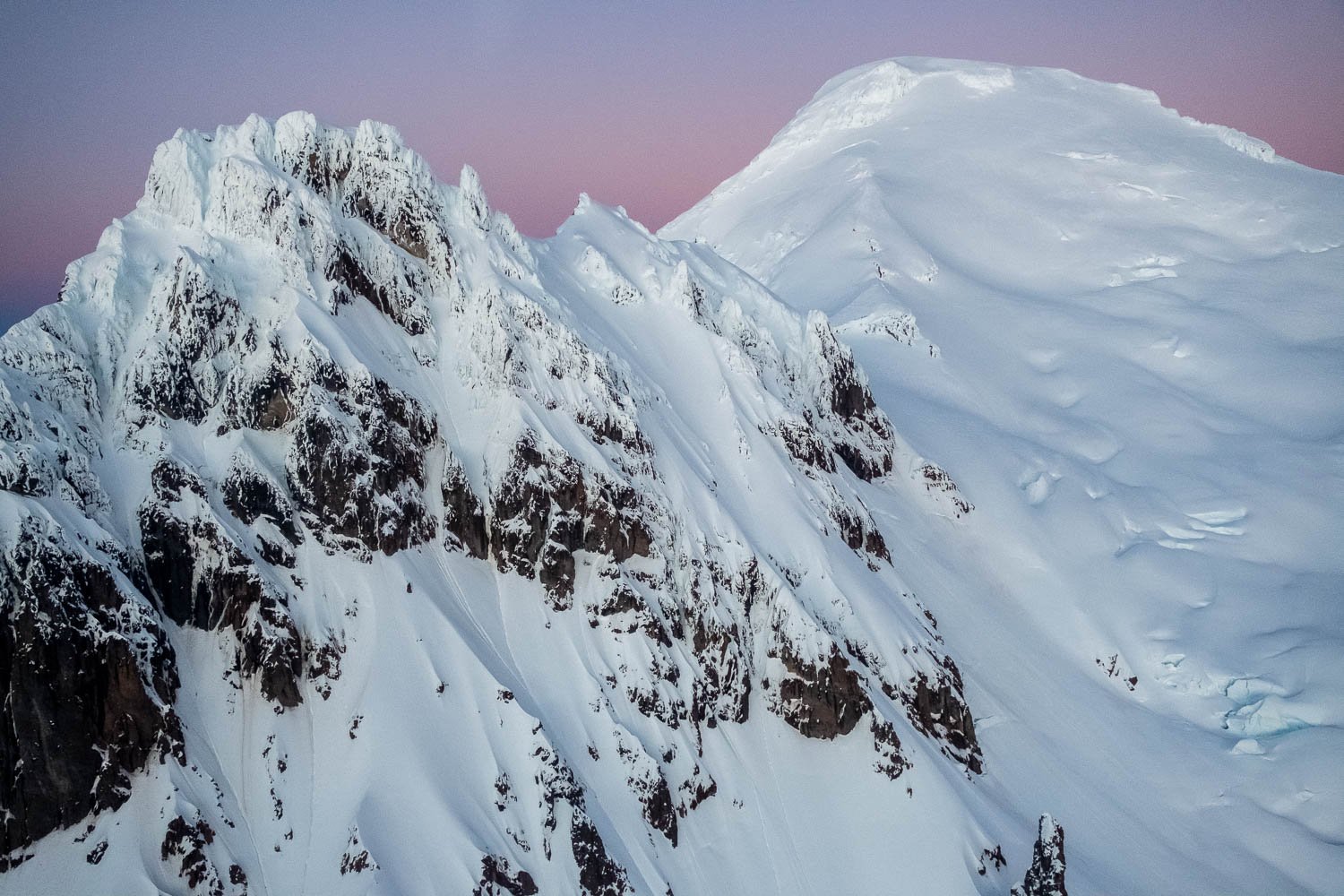
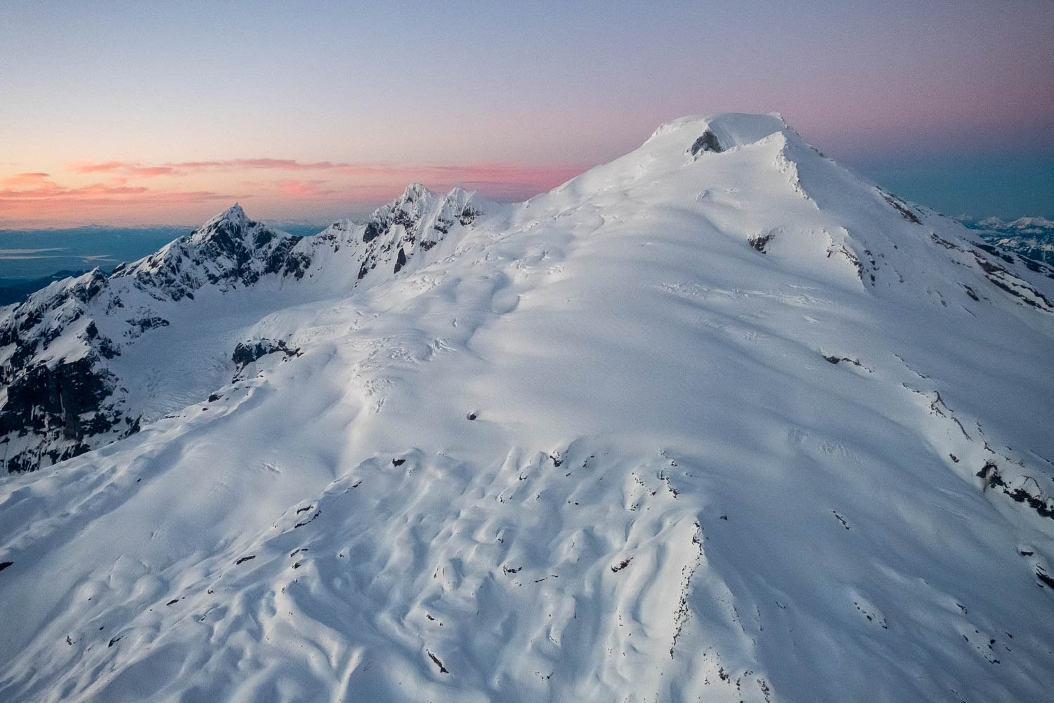
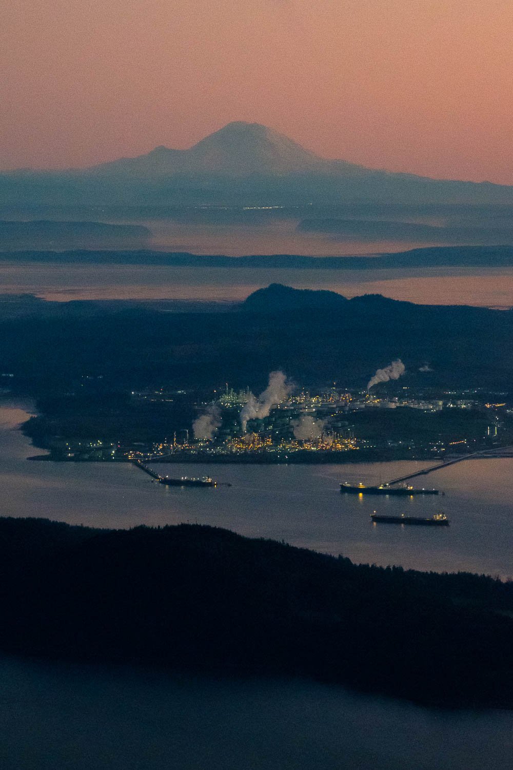
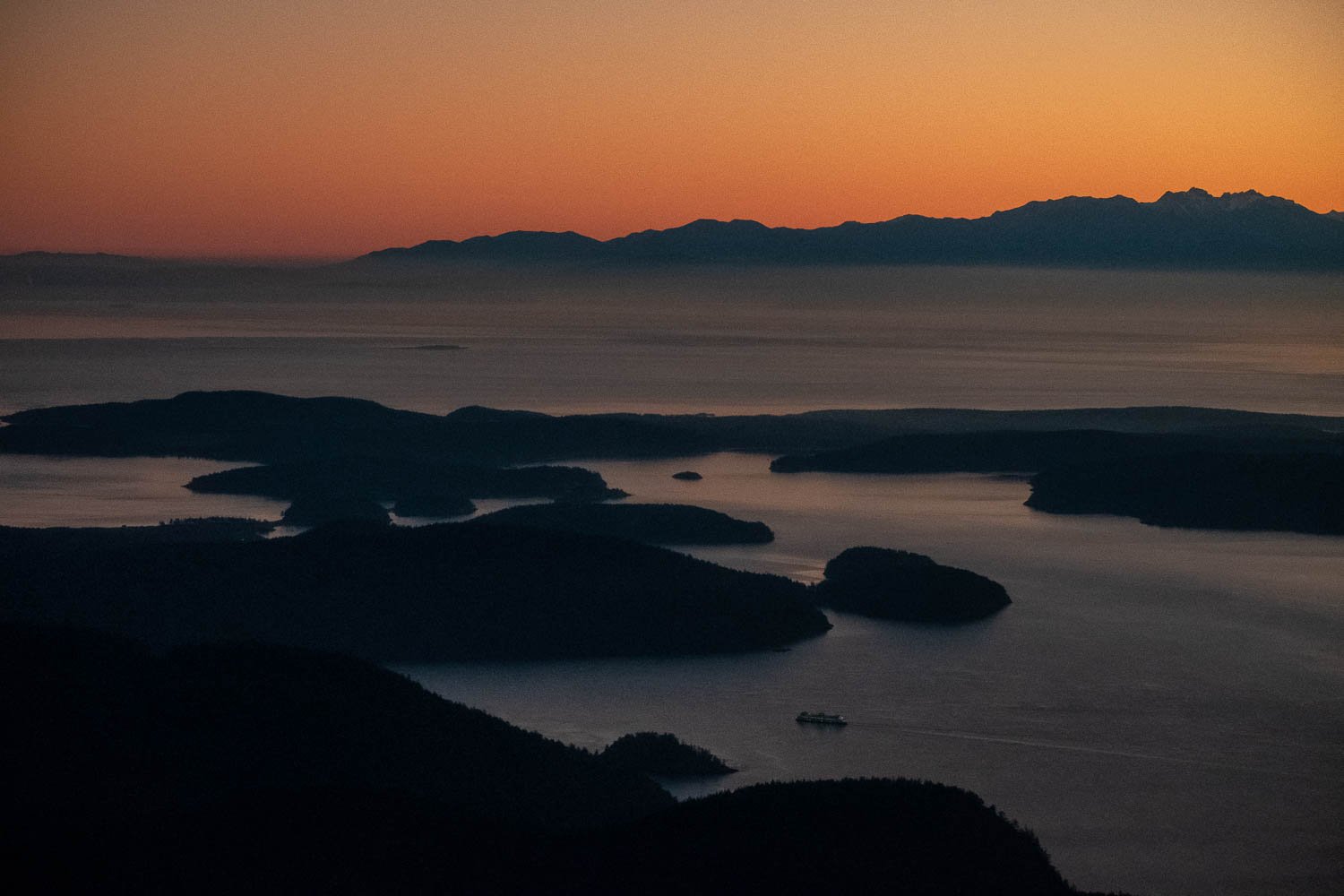
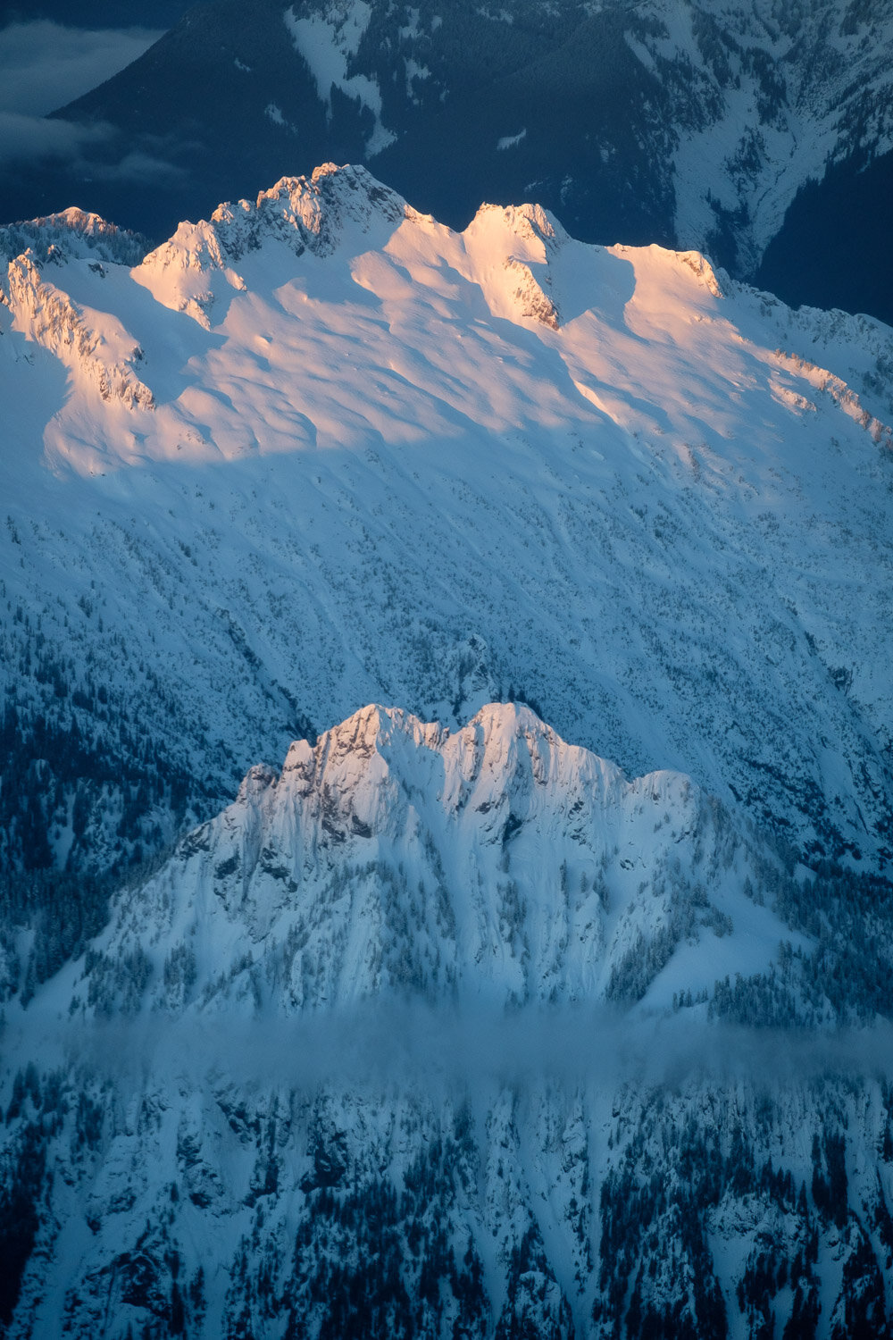
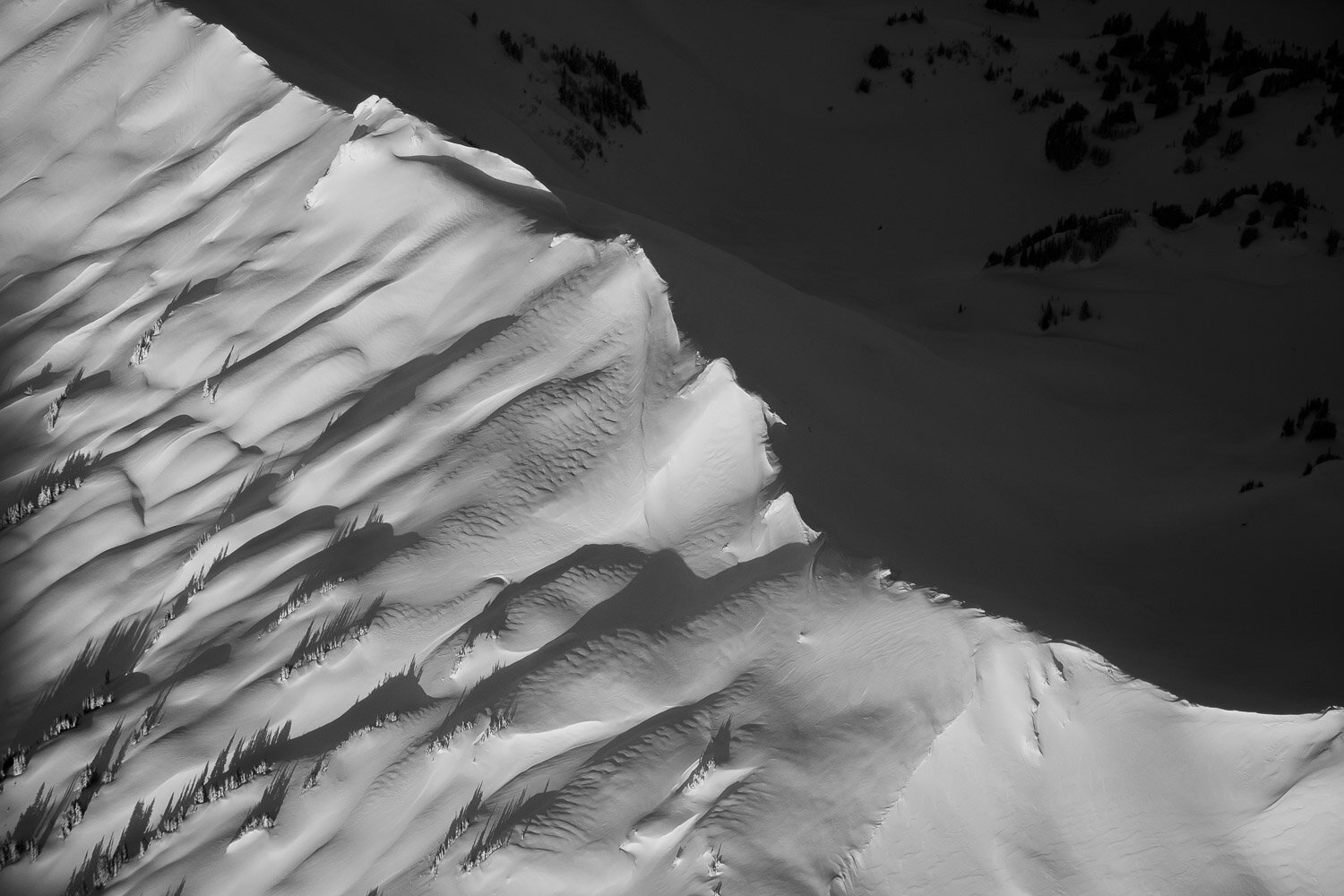
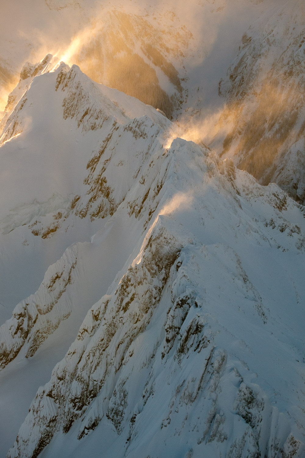
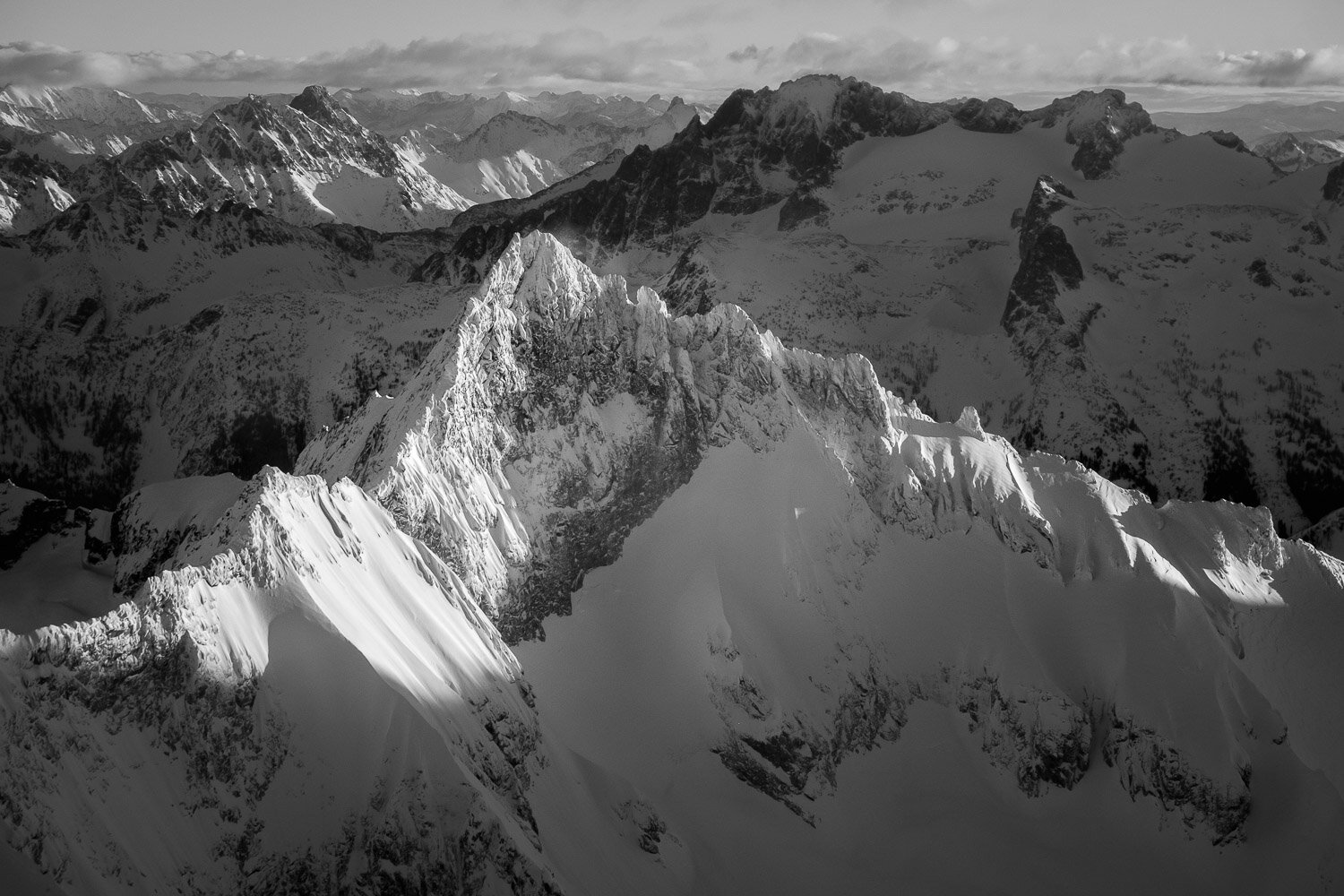
Last January, I had another incredible opportunity to take a scenic flight over the North Cascades to watch the sunset. We had a perfectly calm and clear day for it, and the views were unreal, climaxing in two incredibly close passes past the Southern Pickets just as the light was peaking. We then continued past Shuksan and around the north side of Baker before heading out over the San Juans as the light was fading.
I owe an absolutely huge “Thank You” to Peter Gaylord for piloting such an awesome flight, and an equally large (if not larger) apology to him for taking so long to get these photos together.
Oh and also, Dan Helmstadter skied that couloir on the East Face of Three Fingers from the first photo, solo, in March of 2013.
Best Photos of 2021
Another year has passed, and looking back at my photos, I feel extraordinarily lucky to have gotten to visit so many incredible and beautiful places during the past 12 months. For me, 2021 started out strong with a fantastically snowy February here in Washington, followed by a month in Oregon, getting to see some new places with old friends. During the spring I was really able to push my limits ski mountaineering, ticking off some classic lines and embarking on some longer and more challenging solo trips than I’ve accomplished in the past. Last summer I focused more on rock climbing than I have before, which I capped off with a great climb of the classic North Ridge of Mount Stuart with Sean. September was unfortunately marked by me breaking my arm in a mountain biking crash, which hampered my ability to get out as much as I wanted to, but I was still able to go on a lovely backpacking trip with my lab mate Mike during the height of fall foliage in the eastern Cascades.
Below are my favorite photos from the year - let me know what you think!
Mapo Tofu Recipe
Mapo Tofu recipe from my mom's old and well-worn copy of "The Ultimate Chinese & Asian Cookbook", published 1997.
Szechuan Spicy Tofu
Serves 4
The meat used in this popular wok recipe can be omitted to create a purely vegetarian dish, if you prefer.
Ingredients
3-inch block fresh tofu
1 leek
3 tablespoons vegetable oil
4 ounces ground beef
1 tablespoon black bean sauce
1 tablespoon light soy sauce
1 teaspoon chili bean sauce
1 tablespoon Chinese rice wine or dry sherry
3-4 tablespoons stock or water
2 teaspoons cornstarch paste
ground Szechuan peppercorns, to taste
few drops of sesame oil
Step 1: Cut the tofu into 1/2-inch square cubes. Fill a wok with boiling water, add the tofu cubes and bring back to a boil. Cook for 2-3 minutes to harden. Remove and drain. Cut the leek into short sections.
Step 2: Empty the wok. Preheat and add the oil. When hot, stir-fry the ground beef until the color changes, then add the leek and black bean sauce. Add the tofu with the soy sauce, chili bean sauce, and wine or sherry. Stir gently for 1 minute.
Step 3: Add the stock or water, bring to a boul, and braise for 2-3 minutes.
Step 4: Stir in the cornstarch paste and cook, stirring, until thickened. Season with ground Szechuan pepper, sprinkle with the sesame oil and serve immediately.
Best Photos of 2020
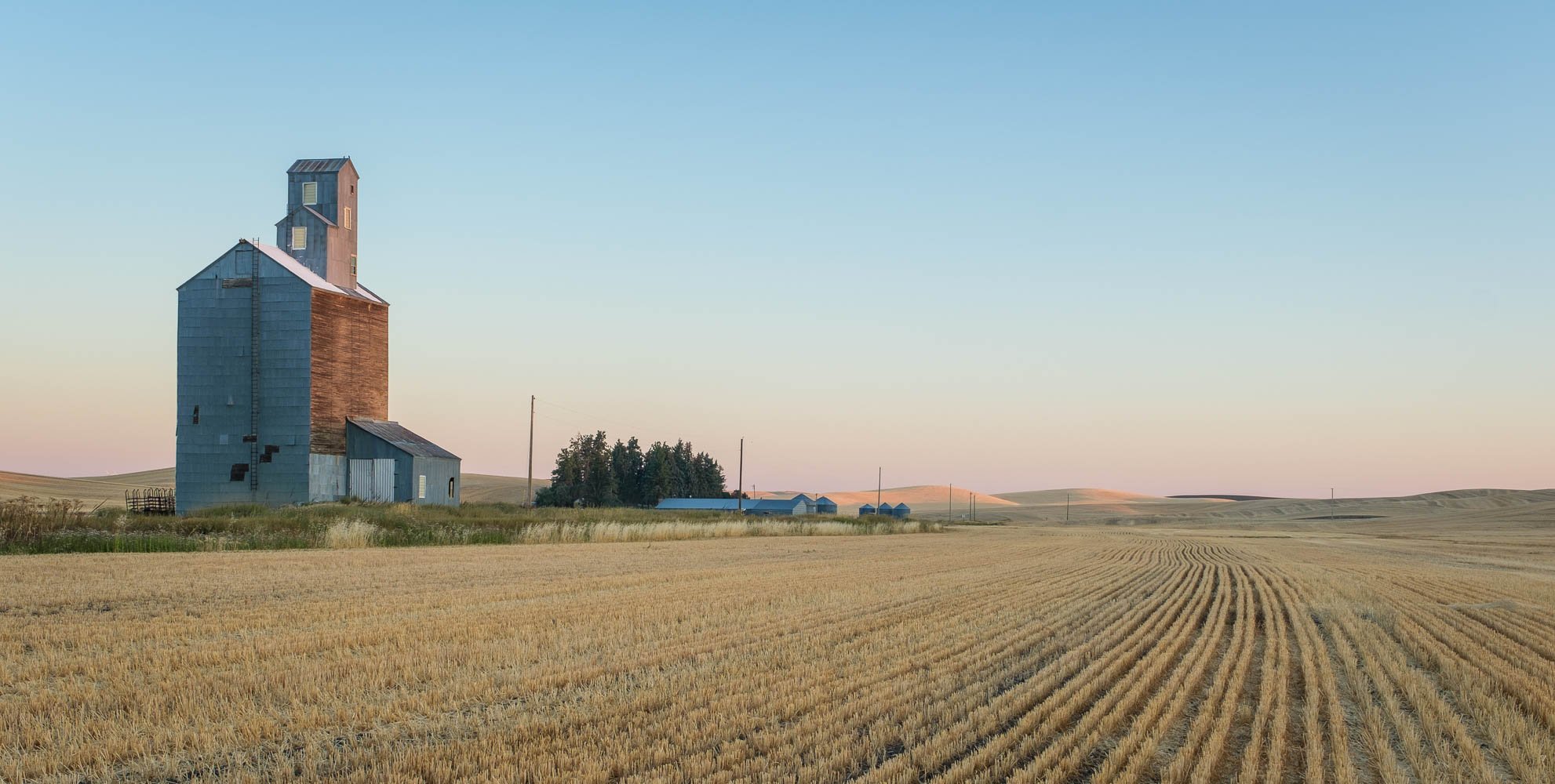
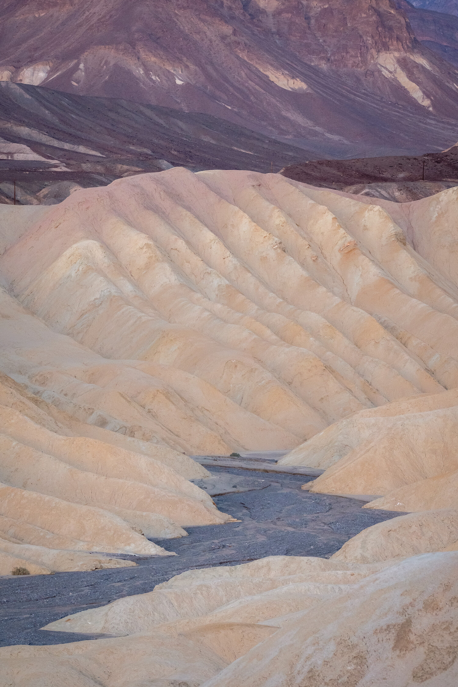
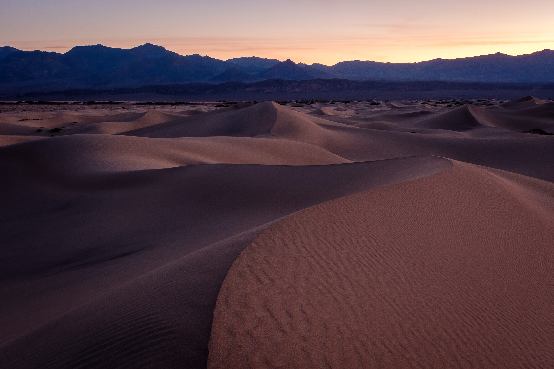
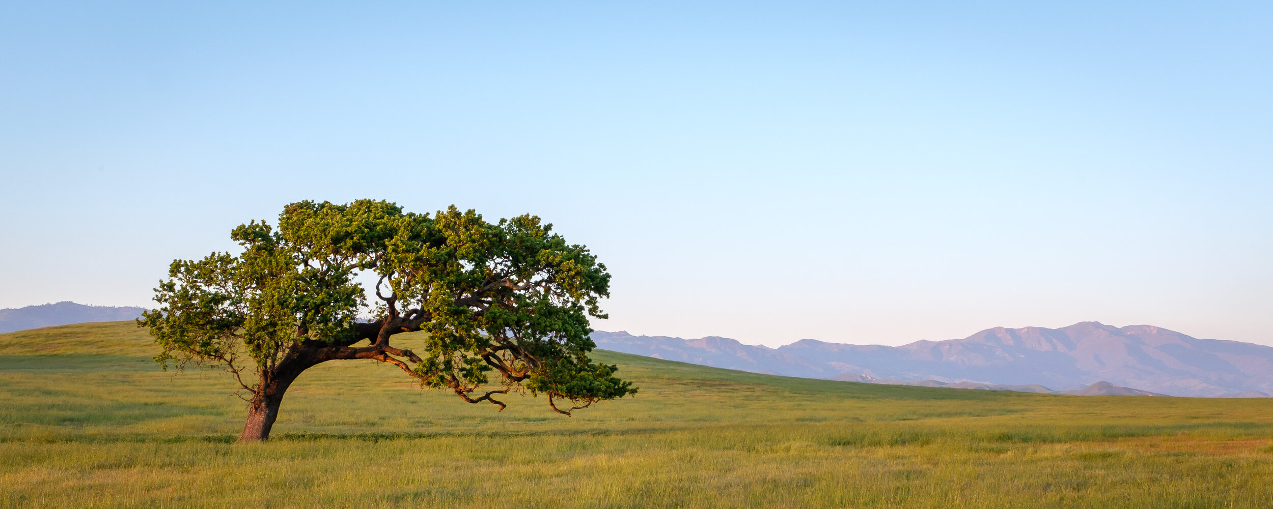
Bear with me - I’m only the better part of two months late with this one. I’ve finally finished working through my backlog and picking out my favorite photos of last year. Because of the pandemic, I found myself driving around the West Coast more than usual, which provided opportunities to revisit some old favorite locations that I don’t get to that often, including Caineville in Utah, and Logan Pass in Montana. I also was able to spend more time exploring the area around Santa Barbara - as much as I constantly dump on California, I am a sucker for their whole “lone tree in a field” vibe.
See below for my favorites, along with captions giving locations and other details for each!
Winter Flight over the North Cascades at Sunrise
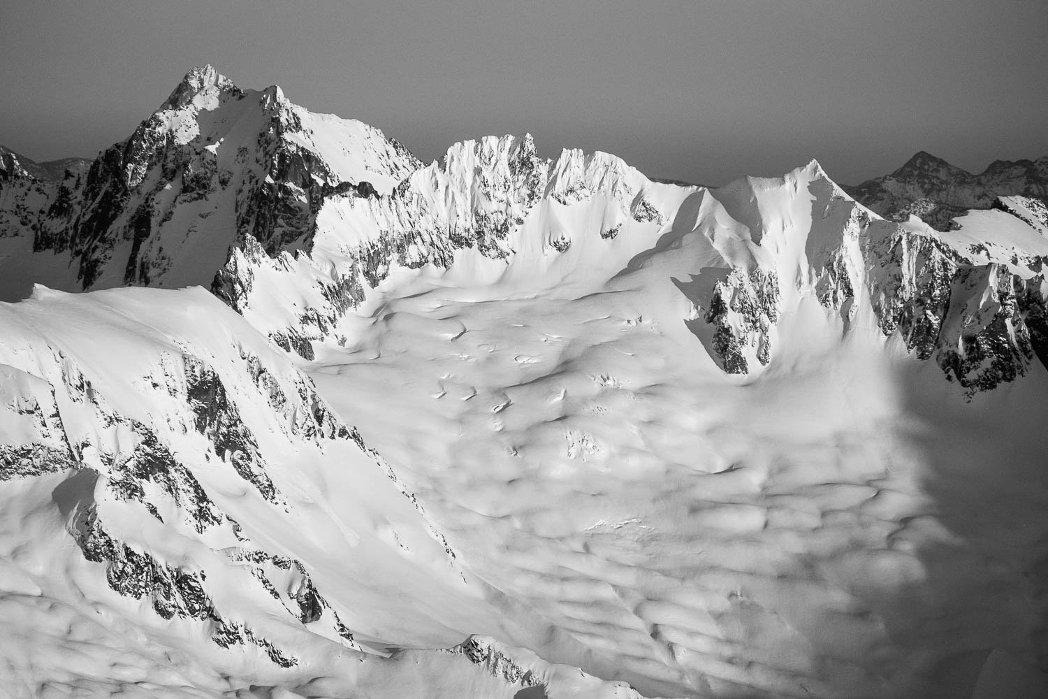
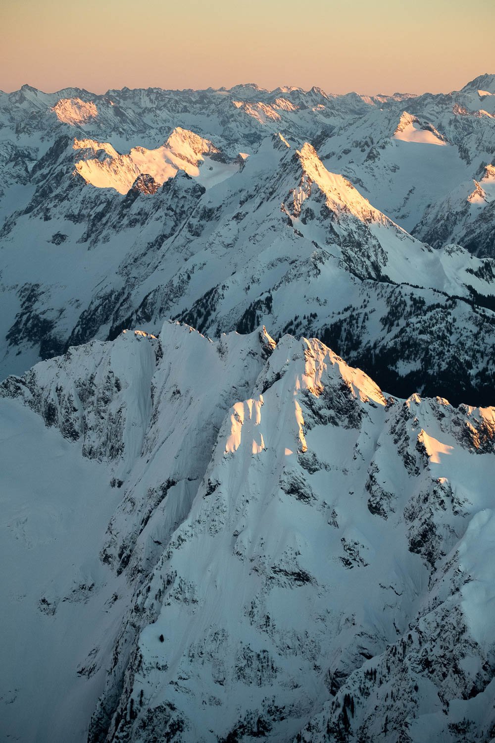
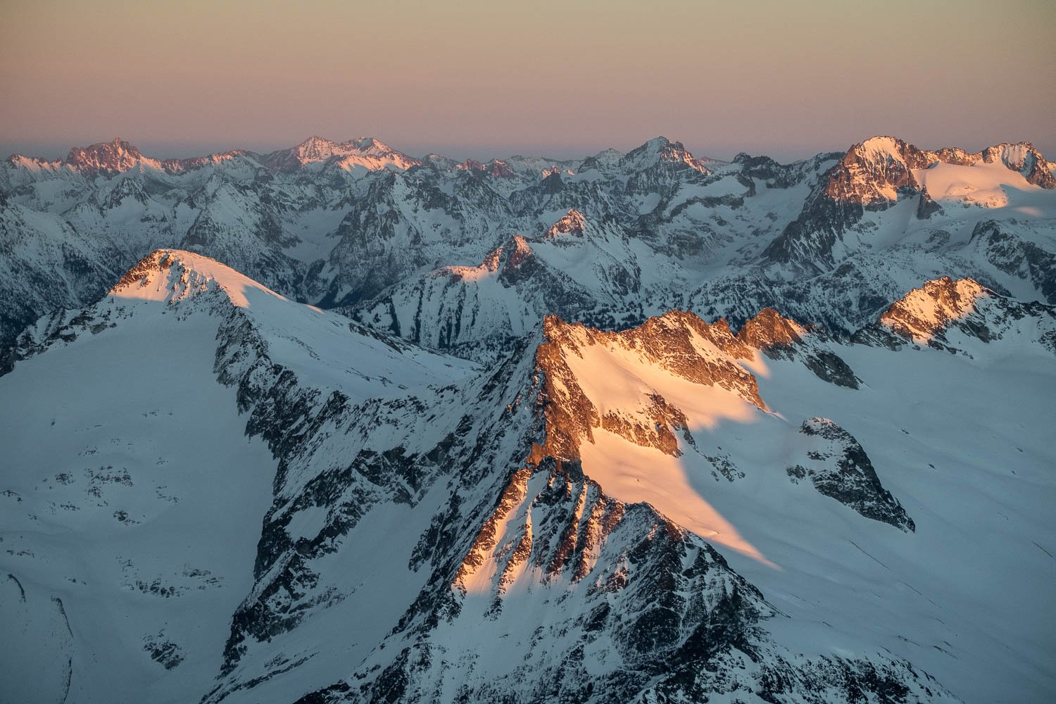
Two weeks ago, I had an opportunity to fly over the North Cascades at sunrise with a family friend. We were quite lucky to have clear skies and an incredible undercast. We flew for about an hour and a half, past the Monte Cristo group, Glacier Peak, The Pickets, Shuksan, Baker, and the Twin Sisters.
It was incredible to see many familiar summits cloaked in snow, and especially fun to see so many peaks that I’ve climbed, and remember how much effort it took to get to each one - a much different experience than zipping past at 130 mph! Below are a handful of favorite photos, with captions describing the mountains depicted.
Backpacking the Tapto Lakes/Copper Ridge Loop with my Homemade Panoramic Camera
I’m only 4 months late on this one, but I’m slowly making my way through my backlog of film to scan.
At the very end of September, just before classes started up at UW, I went on a lovely 4 day solo backpacking trip in North Cascades National Park to Tapto Lakes and Copper Ridge, bringing along my trusty homemade panoramic camera.
Although I had a few more light leaks than on past excursions, it was really fun to photograph some new and some familiar places with the sensual and smooth tones of Kodak Gold. Below are a my favorite shots from the trip, with captions.
Best of Summer '20
Classes at UW started back up last week, which I guess puts a wrap on my summer, at least officially speaking - I still have a few tricks up my sleeve, though. It’s been an unusual summer, and not only because of Covid. This was my first summer wandering around in a post-Bulger daze, trying to figure out what to do now that I don’t have a list for guidance. I took up mountain biking, which offers a lot of fun, and less time spent taking photos. For my trips into the mountains, I tried to get into the areas that the Bulger list didn’t take me, although I still have lots more ground to cover on that front. Highlights include a great but too-short trip into the southern Pickets to climb the East Ridge of Inspiration, a long (for me) solo backpacking trip to Whatcom Pass and Tapto Lakes, a skyline traverse of the Liberty Bell-Early Winter Spires group, and a silly overnight bushwhack off of Highway 20 for a view of the Ragged Ridge from the north. Special thanks is owed to Sean for supporting me as I continue to push my alpine climbing goals.
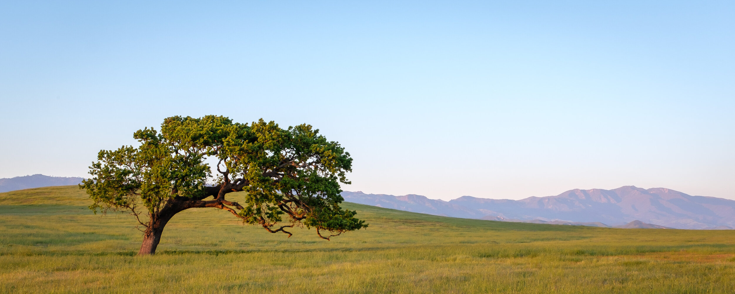
Outside of the Cascades, I spent more time discovering new scenes in southern California, where I’ve been feeding my strange and potentially misguided obsession with lone trees in golden fields. I also returned to Glacier National Park and Grand Teton National Park, although both of those places deserve much more time than I was able to spend.
Some abbreviated statistics:
28 nights camping
113,605 vertical feet climbed
276 miles hiked
Countless photos taken (including plenty on 4x5 and panoramic film formats)
I whittled the many photos I took down to 17 of my favorites, not just for their artistic merit, but also because of the memories they conjure up.
Bourbon Ball Recipe
This recipe is from my grandmother, perhaps originally from Joy of Cooking, but I wanted to write it down so it doesn’t get lost in the mess of paper recipe clippings in our cookbook cabinet, primarily for my own use.
Anne Weld’s Bourbon Ball Recipe
Yield: 45 1” balls
Ingredients:
2 cups 'Nilla Wafer crumbs (can also use toasted sponge cake or graham crackers)
1 cup finely chopped nuts
2 tablespoons cocoa powder
1 cup sifted powdered sugar + extra
1/2 teaspoon salt
1.5 tablespoons honey or Karo syrup
1/4 cup bourbon or rum
Combine liquid Karo and bourbon.
If using a food processor for the Nilla wafers and nuts, finely chop these first. Then, in the food processor or mixing bowl, add the other dry ingredients until combined.
With the food processor running (or while mixing), slowly add the liquids until the mixture holds together.
With clean hands, form 1” balls and roll in powdered sugar. Place in a sealed container and freeze at least 2-3 hours. Serve frozen.


